I was looking forward to Yankee Boy since mid-June of 2015, when a three day jaunt from Denver only yielded Potosi and Teakettle. This year I went a little later than last, driving out Friday morning, June 24.
June 24, 2016 – Mt. Emma
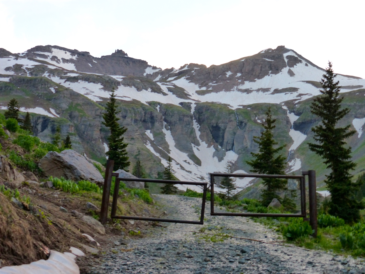
I lucked out and the weather held so that I could climb Emma on the afternoon of my arrival. Some cloud cover, but no thunderheads. After securing my campsite at Thistledown, I revved up the shelf road and past the turn for Yankee Boy. I didn’t get much farther, though. At a point where a private road heads straight into the lower basin, the road makes a wide switchback south and then east. This north-facing section of road was mostly covered by snow. Just before the complete switchback and right after a stream crossing, another road climbed south, then turned sharply west to a gate. No sign was on the gate, but a “No trespassing” sign was on one of the trees some way from it on the left. I took this to mean that the land was private, but the road was not, and parked my RAV on a convenient spot down from the gate, facing back to the road. There is room for two vehicles here.
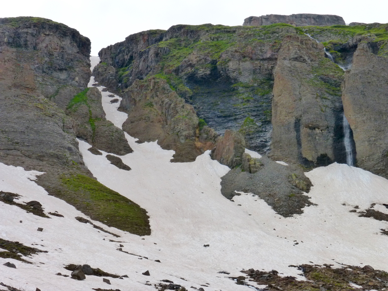
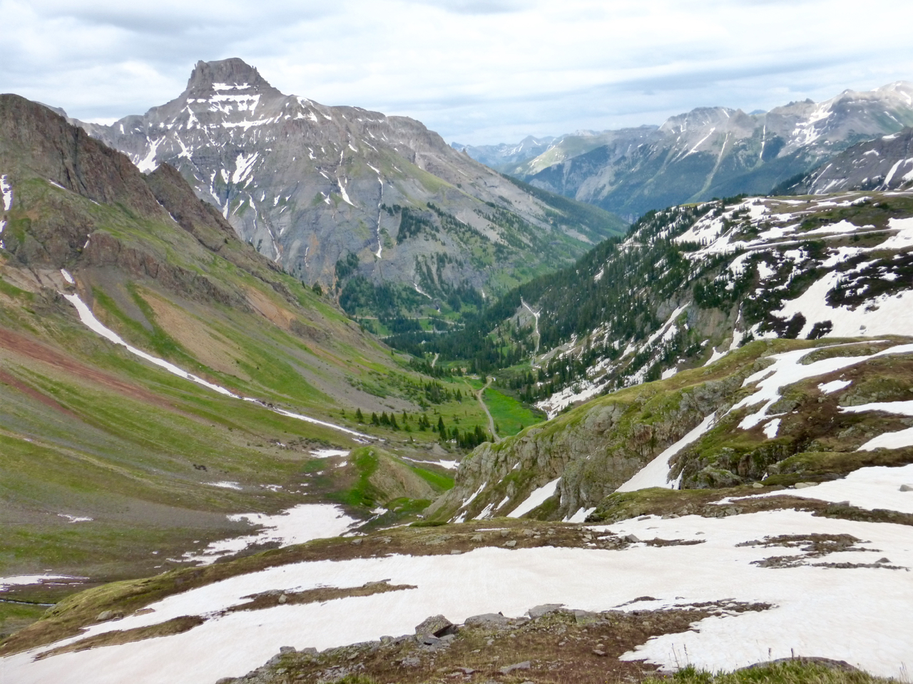
I snapped the picture below on the following day as I headed into Yankee Boy, and it shows the spot- you can see the road (snow-line at lower left) and another small snow-line in the center beneath the cliffs marks the gated road. It leads up into the heart of the basin.
Below is a shot of the gate and Governor’s Basin behind. I didn’t follow the road much past the gate before I decided it was taking me higher than I wanted to, so I made a quick bushwhack and a less quick stream crossing to get on the lower road on the north side of the basin.
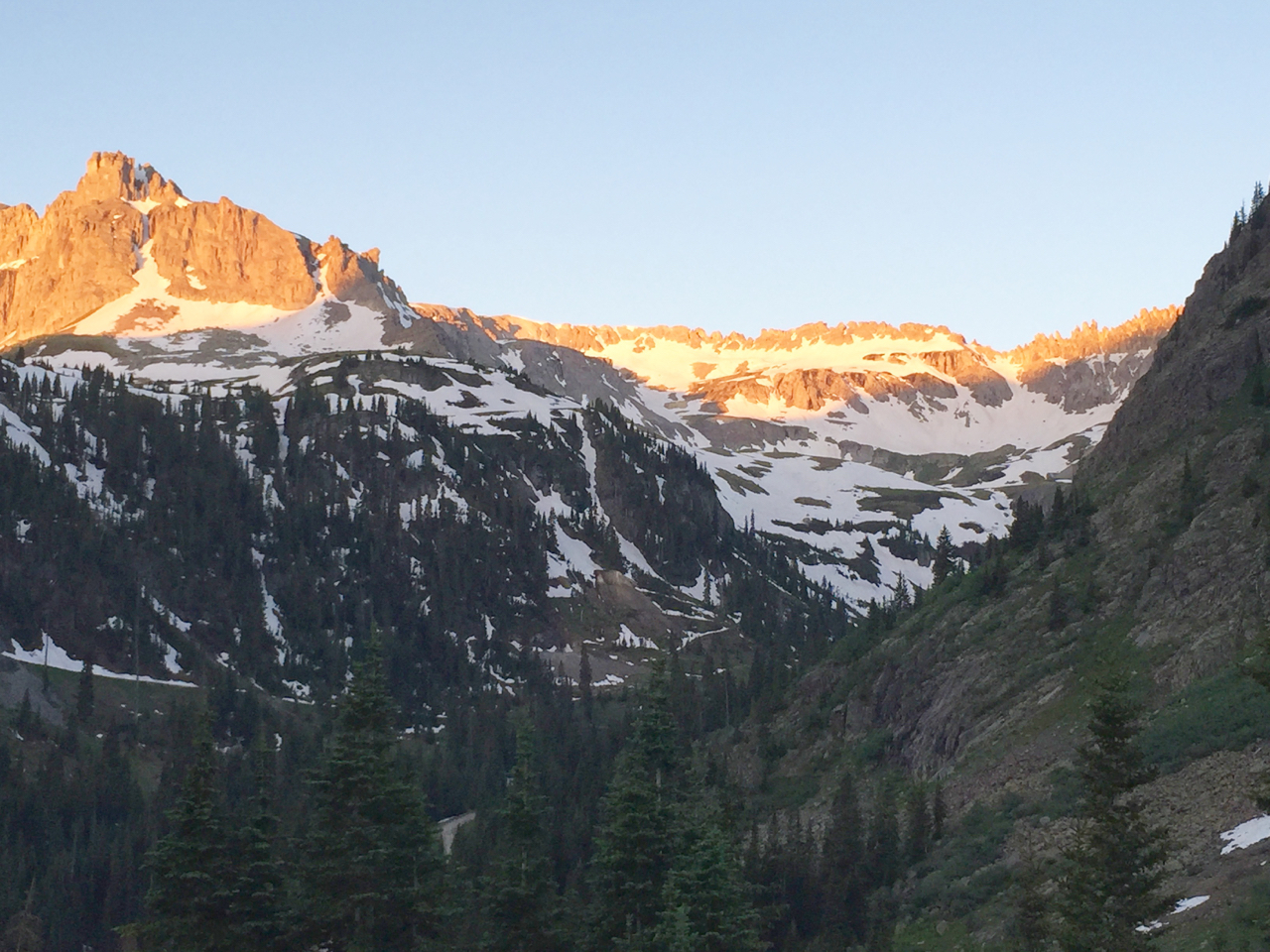
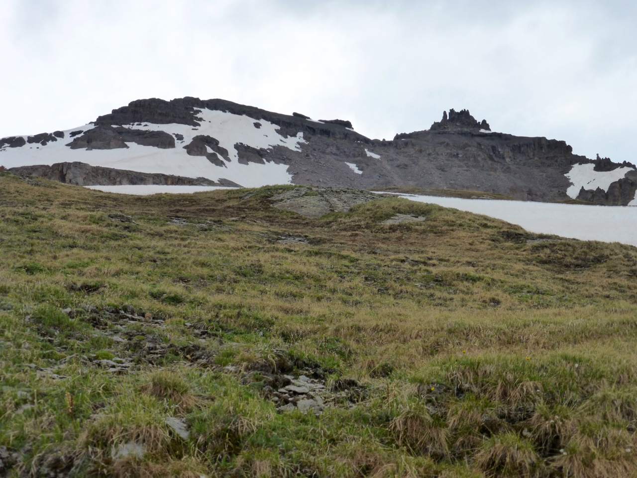
Emma’s summit is the blocky stuff left of center and the easier way is to the left – but I sometimes pick direct lines over easy ones and my route struck right for the couloir in the center of the picture. It turns out that the cliff to the left and in front of the couloir hides easy slopes that angle southwest. After getting above those cliffs, I then kept on the snow ascending west above the afore-mentioned cliff, and then cut left hard to hike easier southeast slopes to Emma’s ridge.
Since this initial section was mostly level, I soon found myself admiring the cliffs and a small cascade. I put on my microspikes for the couloir (I’d figured the snow had softened this late in the day, and wanted to move quickly). I made good progress up this couloir until near the top, past the last of four rocks sticking out of the snow. At that point it narrowed, steepened and turned to ice: more than my micro spikes could handle.
So I reversed my path and continued up the left (southwest), out of sight of the photo. With the somber gray overcast, this section was an unphotogenic mess of crunchy snow and talus, so I’ve not included the craptastic photo. I negotiated much smaller clfifs by one of three small, mellow couloirs.
But after that bland section, I turned to look back and saw the lush green valley, and Potosi beyond:
Cliffs – what cliffs?! I must have imagined them. You can see the lower road in the greenery and my “trailhead” right of center at the fold this side of the Governor Basin road switchbacking east. Also observe the upper portion of that road, which leads to the Virginius mine, at far right (this side of Potosi). It’s probably what you’d call the standard route.
So, onward and upward – just some mildly inclined interspersed snow and grass, as I weave southwest to the rounded part of Emma’s south ridge.
Nothing too exciting there. The grass and then well-compacted snow provided swift passage and after ten minutes I contemplated Emma’s upper ramparts.
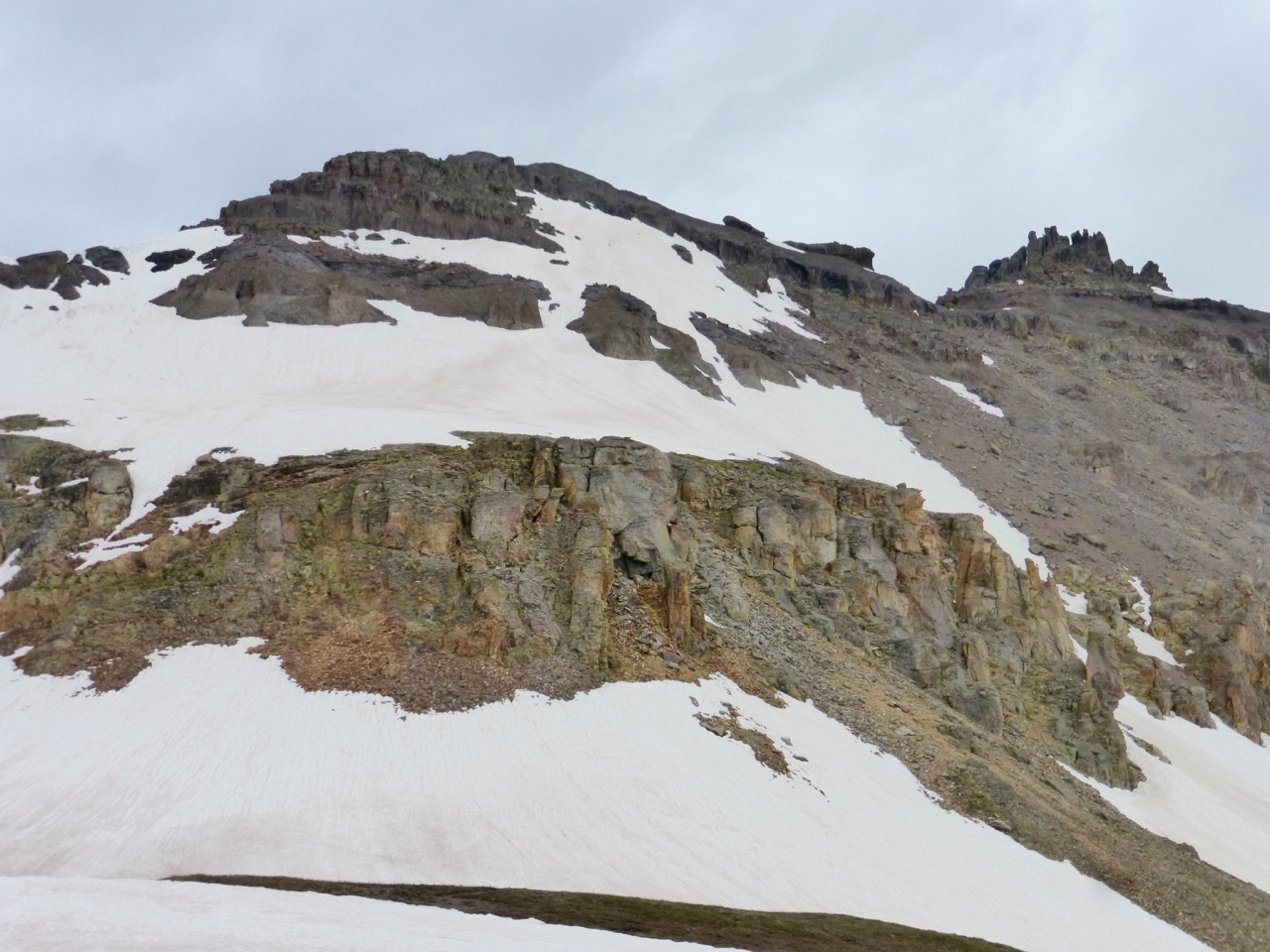
I can’t remember exactly where I gained the ridge from here; a couple lines look likely. It was not hard; I think i took advantage of the weakness at left to get to the snow above. After that, I either headed left around the triangular buttress, or I angled right to the snow gap between the rock band and headed straight up from there. It seems one could link an ascending traverse up to the low point in the ridge. However I went, it took a half hour to reach a couple class 3 steps to gain the ridge crest, which was flat and amiable. Breezing along the ridge, ten minutes took me to the high point just this side of the gap before the summit. This required an easy class 3 downclimb to my right, and I took in this view across to the summit:
I heard a sudden clinking, like a tea cup clattering against a saucer, but it wasn’t some mad hatter clamoring for more tea, rather a solitary fox running away from me.
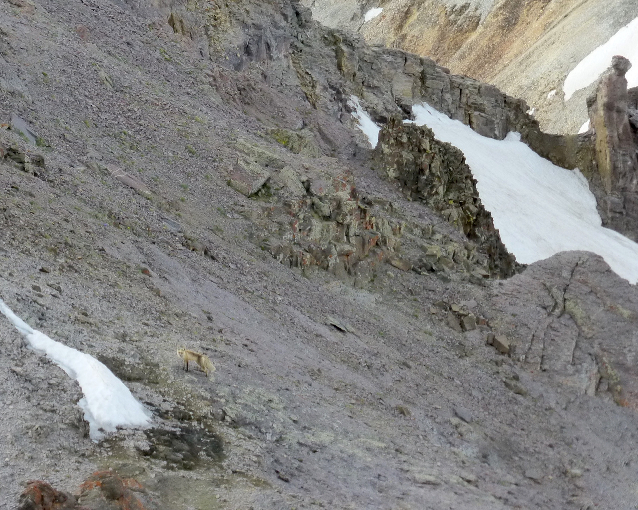
He paused to study me for a bit, but bounded off as I made the slower down climb from the ridge point.
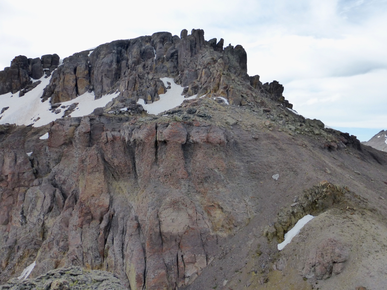
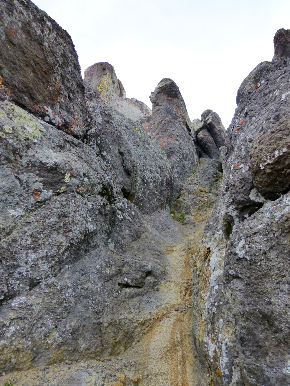
After this, I had only a short distance up to the summit block, which is a conglomeration of dark misshapen lumps that show the range’s volcanic origins. This part got a bit tricky, though, and I’d say it’s hard to find a way up or down that doesn’t involve one class 4 move. That’s because much of the easier spots are treacherous: there are deep runnels between the rocks, and both they and the rocks themselves are coated in loose pebbles.
On the way up, though, I found a liking for this grungy corridor. I didn’t take it on the way back, though, because of some discomfort with downclimbing the route in reverse further up. It was just one damn move.
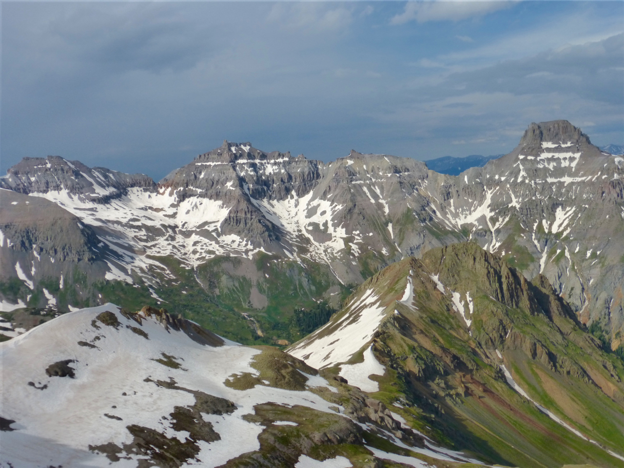
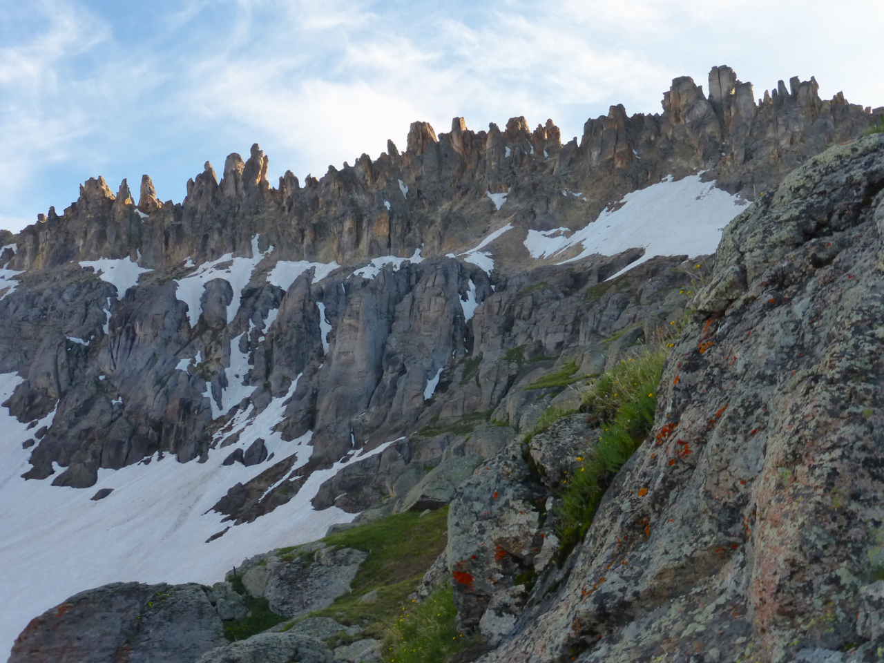
The summit provides spectacular views of Sneffels and the neighboring peaks. This shot, below, however, is not from the summit but from the ridge just before “Fox Point.” I call this one “The Three Amigos, with coffee.”
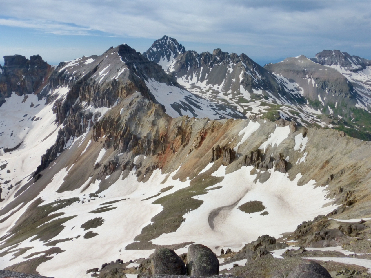
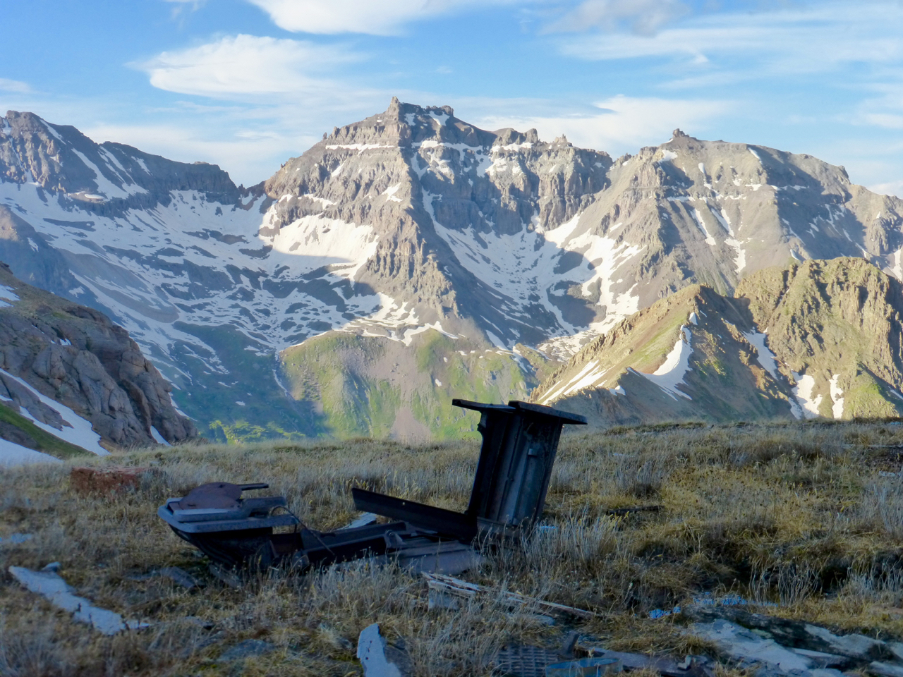
I suppose it would be remiss not to show the connecting ridge over to Gilpin. I thought it looked dubious, but I’d also read that beforehand, too, so my view was tainted.
I stayed a few minutes to enjoy the sunshine and eat a small dinner before heading back down. After negotiating my way off the summit,I decided to make a tour of Governor Basin and so continued SE from the lower ridge, eventually reaching the basin just north of the VIrginius mine. A short bushwhack took me to the road, which I followed back to the car.
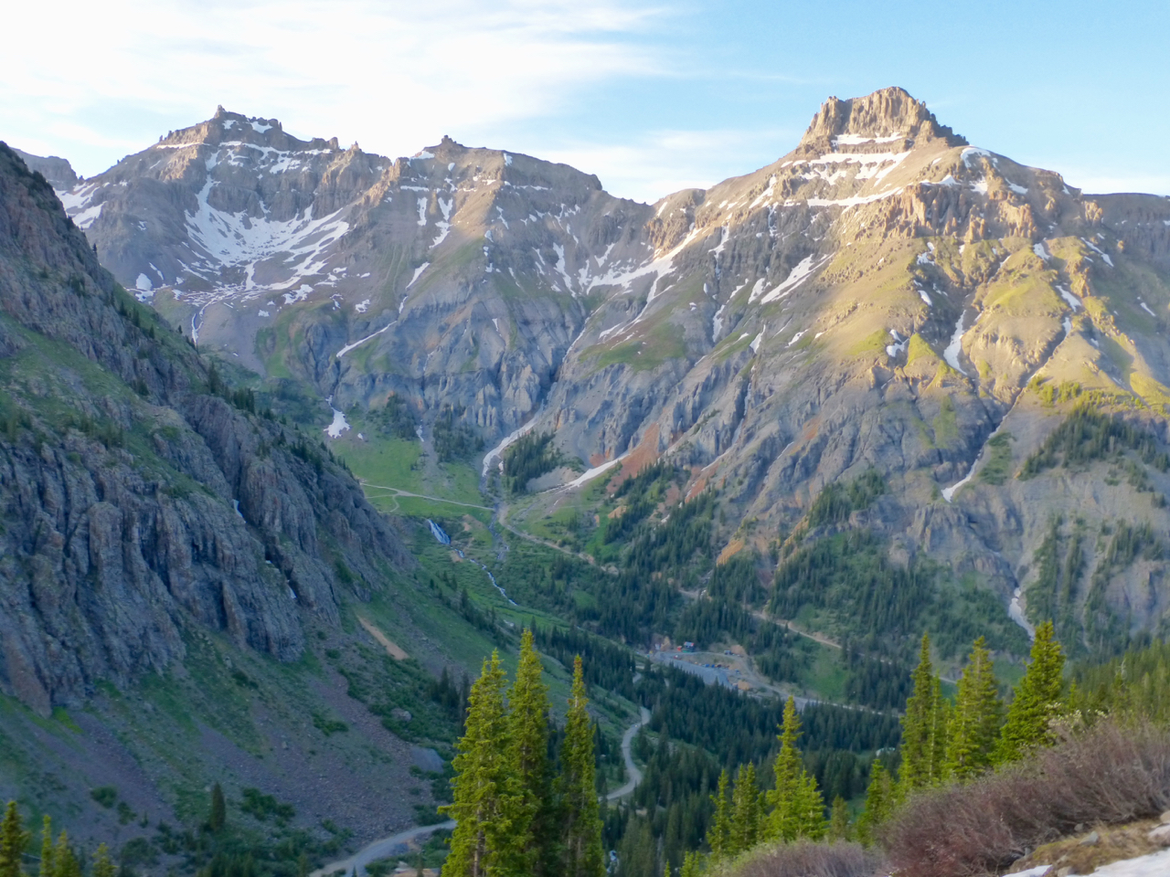
Here’s a look at Santa Sophia ridge on the way down.
“You got the Teakettle, I got the stove. We’ll have a tea party in this mountain treasure trove.” I wonder why I never made it as a rapper?
All the way down the road, the Yankee Boy basin peaks kept my eyes away from my footsteps. Good thing it’s a well-graded road.
After the long drive from Denver and this enchanting journey through Governor Basin, I fell asleep quickly back at camp, hoping against hope that a 4:00 am wake up would enable me to get both Cirque and Gilpin the following day.
Nice Steve! Looks like a productive weekend down there. Emma is the one peak I have yet to climb in YBB, and your account makes me want to get back down there and get it. The upper-mountain looks so unique (minus maybe the grungy corridor). Love the last few shots of Santa Sophia and Teakettle. Really nice colors.