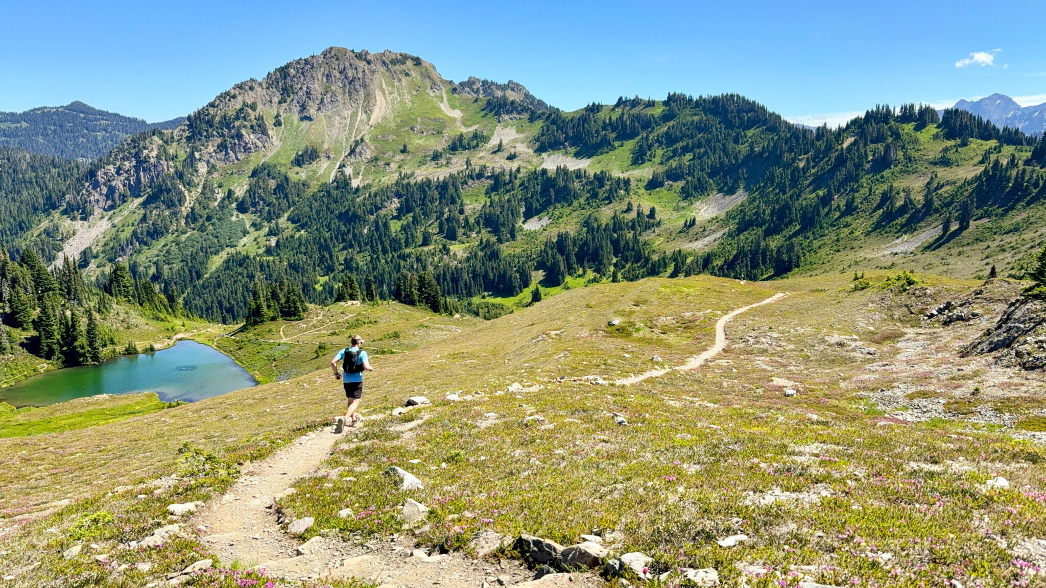
Descending to Heart Lake around mile 12 of the loop. Click to enlarge.
Last month Anna-Lisa and I spent a week up in the Olympic Peninsula region of Washington State. While we didn’t hike every single day of the trip, there was no way we were leaving without checking out one of the most beautiful, classic loops in Olympic Nation Park – the Seven Lakes High Divide Loop.
Most often done as a backpack, the 20-mile loop boasts ~4,800 feet of elevation gain and traces out a big circle around the Seven Lakes Plateau. The route starts and ends at the Sul Doc Trailhead, about an hour’s drive east of Forks.
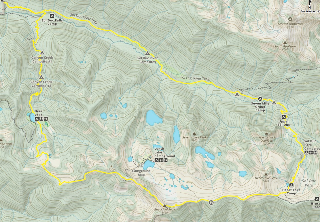
A map of the loop. Click to enlarge.

The popular Sul Duc Falls only about half a mile in from the parking lot. Similar to many national parks, the trailhead grants easy access to a popular landmark but then beyond that point you’ll find few people.
We chose to do the loop in the counterclockwise direction, first climbing up to Deer Lake. This gets the elevation gain over with earlier in the day and leaves the long, gradual descent down the Sol Duc Valley for the end.
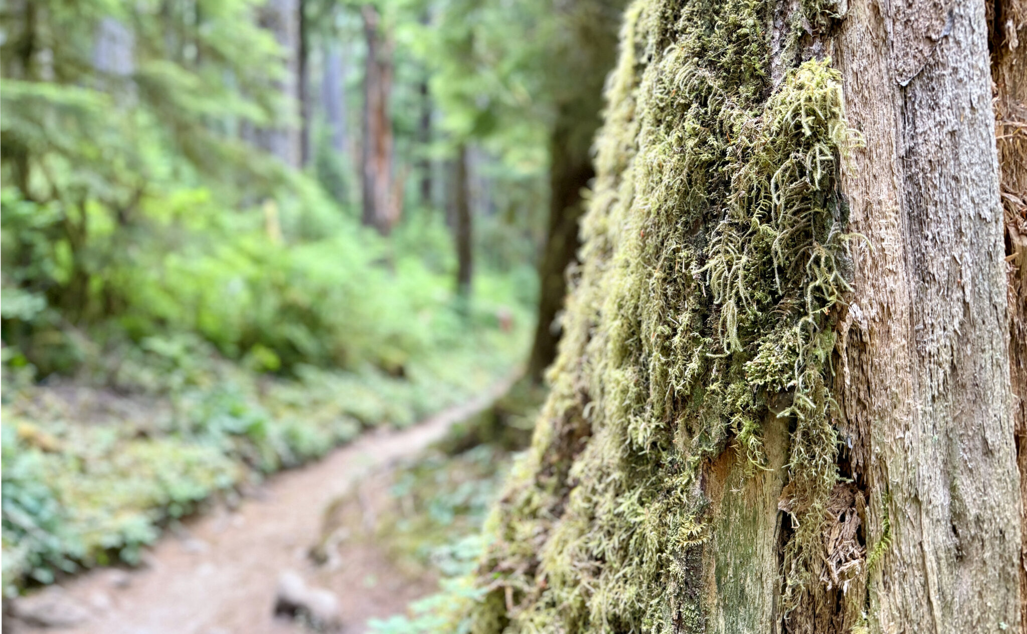
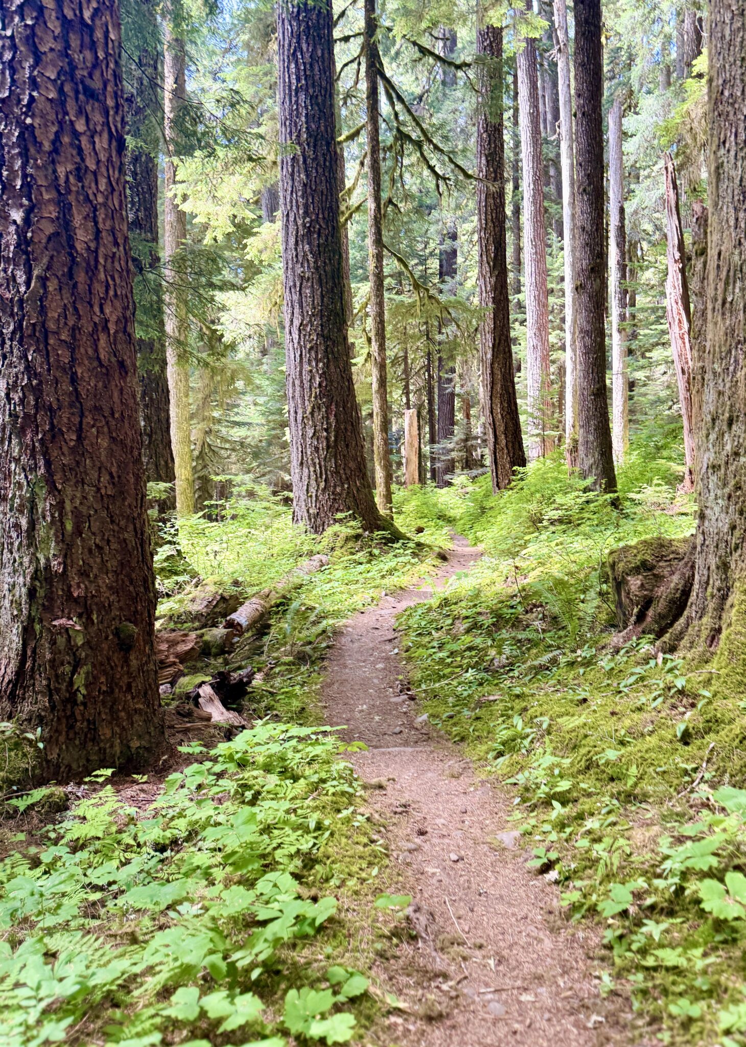
The towering conifer trees and lush, green forests of the Olympic Peninsula really are awesome.
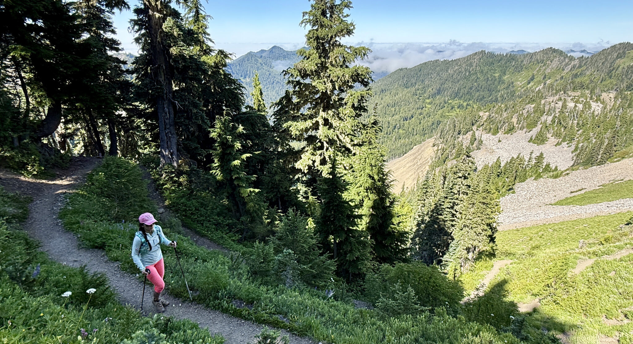
The first miles up to Deer Lake are steep but the forest is spectacular. We climbed up through a layer of fog as the sun’s rays were just cresting a nearby ridgeline, poking down through the mist. It was pretty surreal.
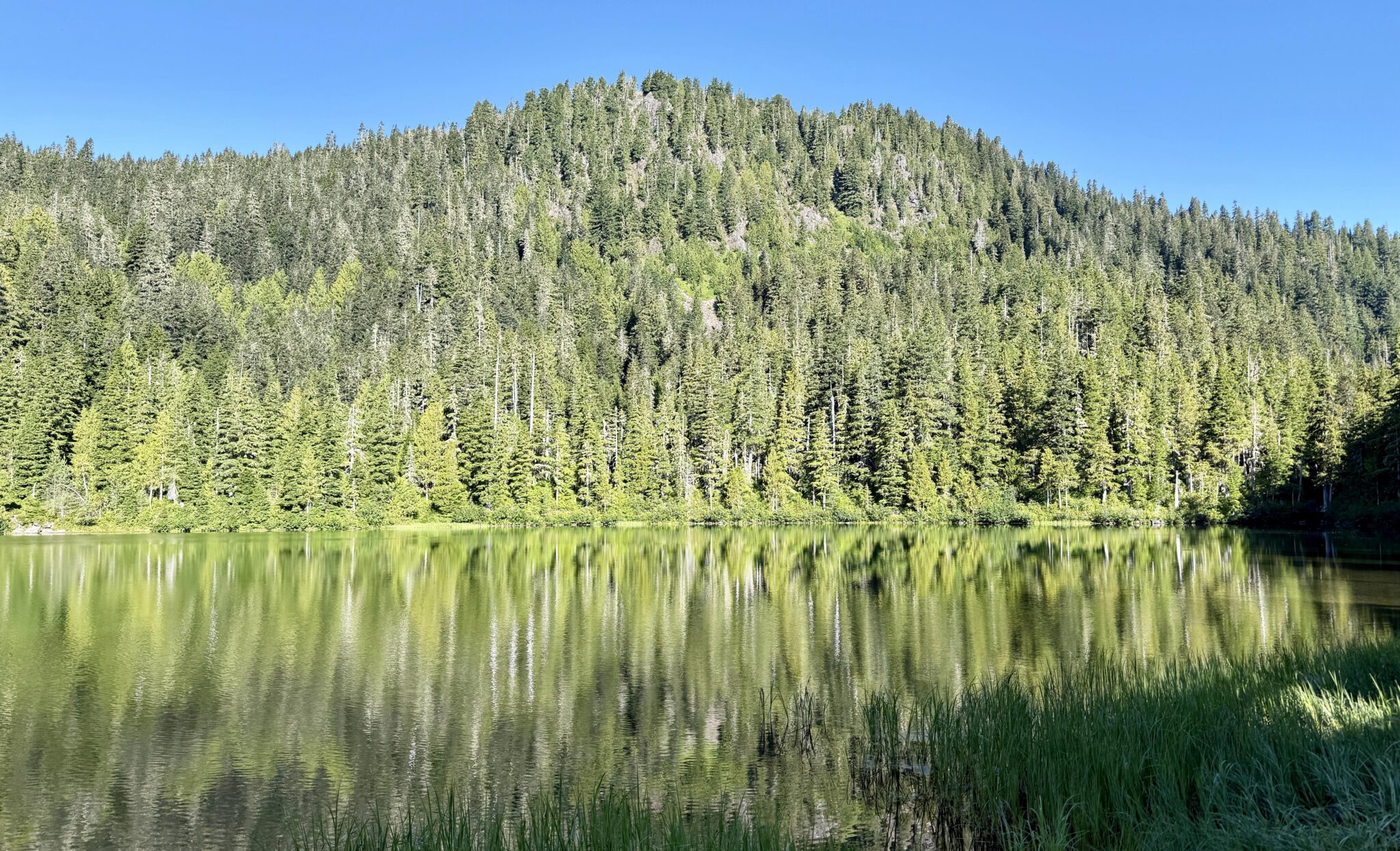
Deer Lake 4 miles in.
As the trail ascends up through the various layers of forest past Deer Lake, the landscape gives way to open vistas which at this point in the summer, were dotted with all kinds of wildflowers.
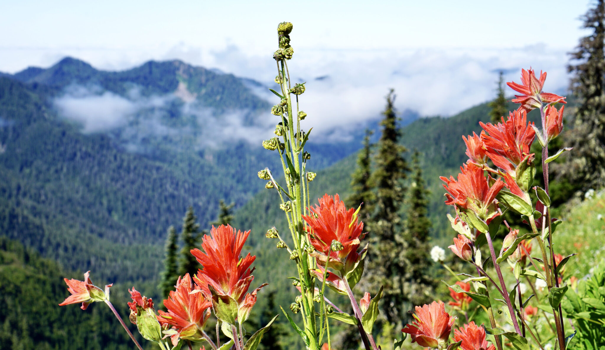
Colorful Washington fauna against a cloud inversion backdrop. Not too shabby.
Looking back down the valley with Deer Lake visible in the distance and Sol Duc around the far corner to the left. Click to enlarge.
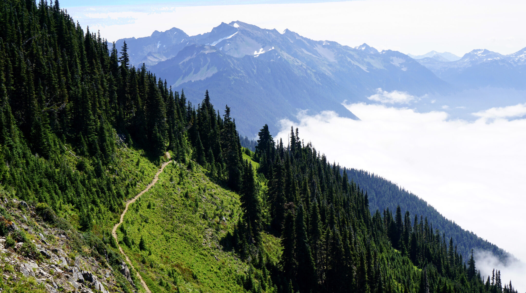
The ridge we were on narrowed before the trail dropped off its south side, taking a long sidehill traverse.
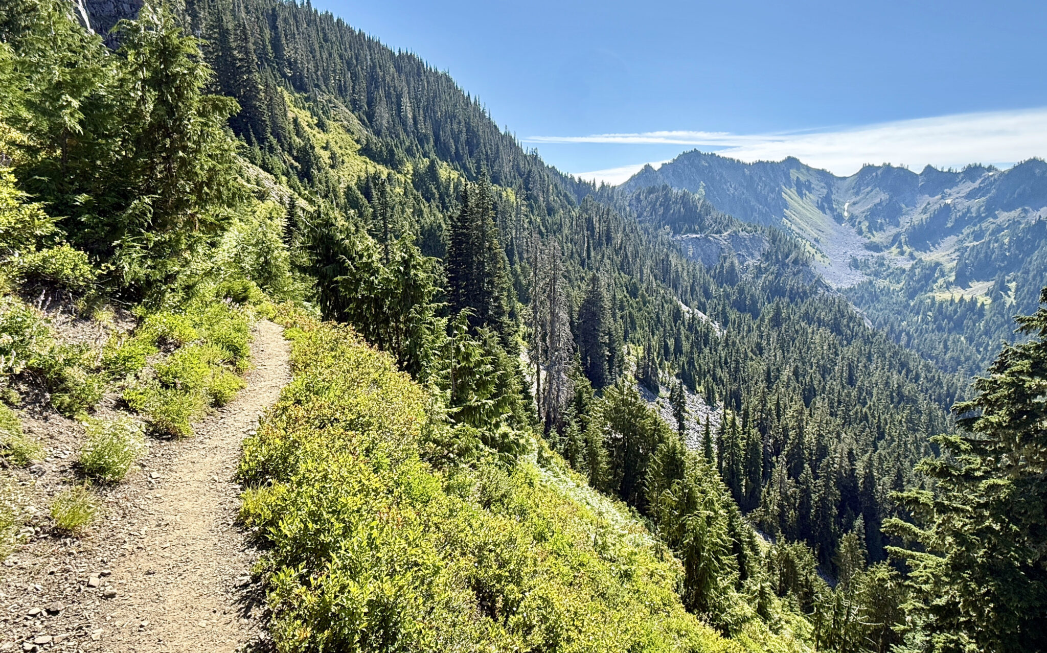
After another thousand feet of gain, the trail turns to the east and climbs up towards the High Divide. .
We’re getting higher.
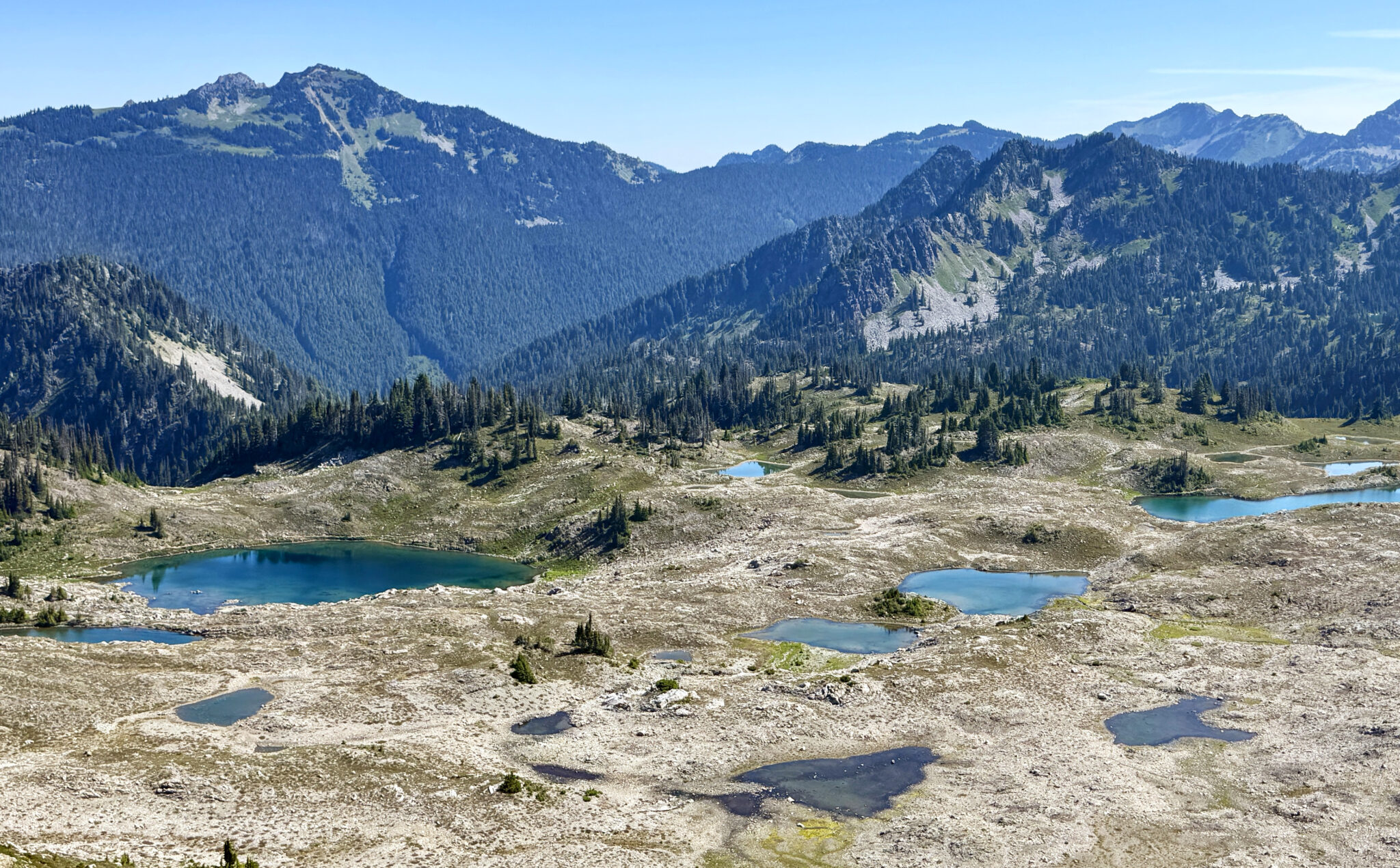
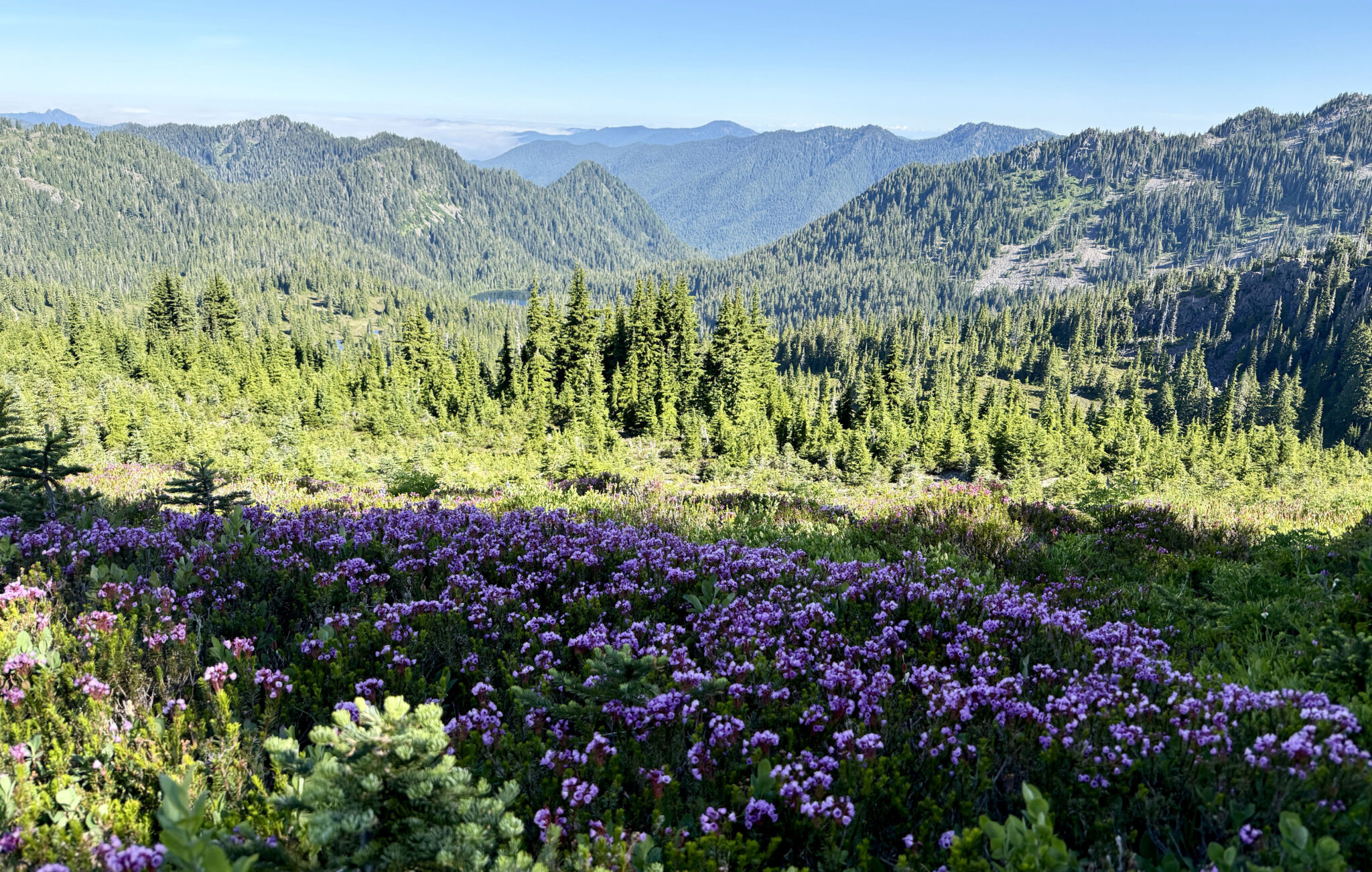
High enough now to look down at the Seven Lakes Plateau. There are actually a lot more than seven lakes.
After 9 miles we reached the high point of the loop and skirted underneath Bogachiel Peak. Here the views to the south opened up and revealed a spectacular sight…
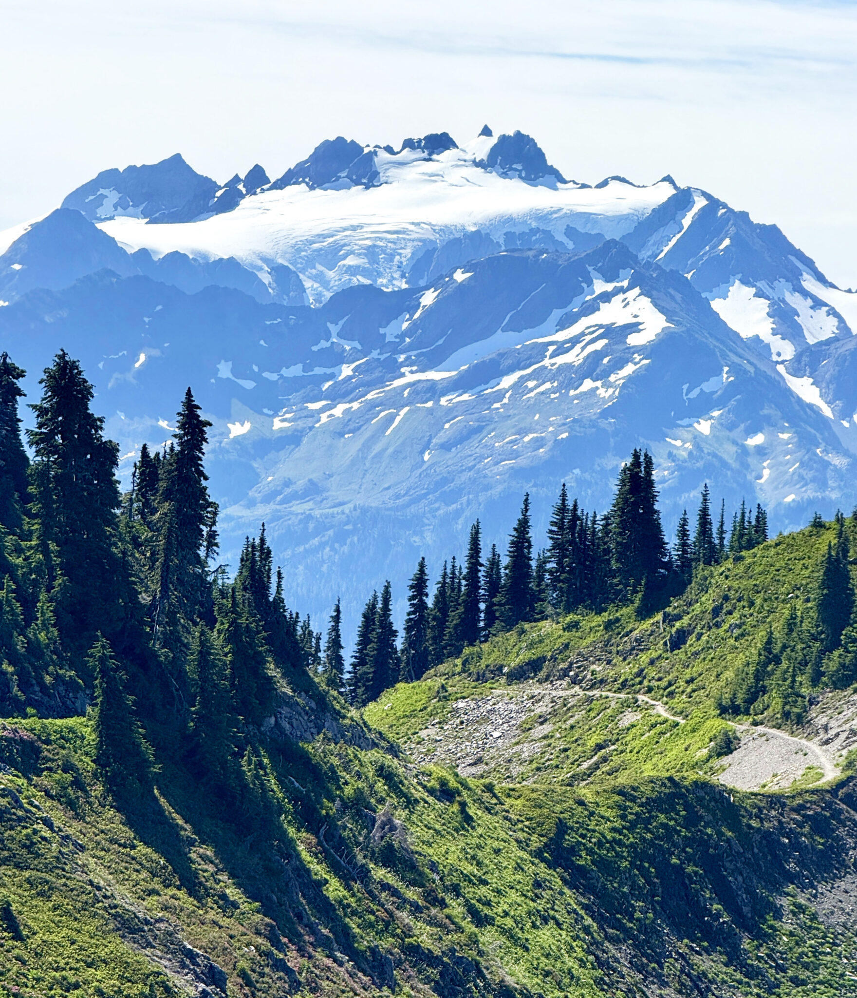
The tallest peak in the Olympic Mountains, Mt. Olympus (7,980 feet) coming into view.
Mt. Olympus, Mt. Tom and their glaciers across the way. The summit of Olympus towers nearly 7,000 feet above the Hoh Rainforest Valley floor down below. Click to enlarge.
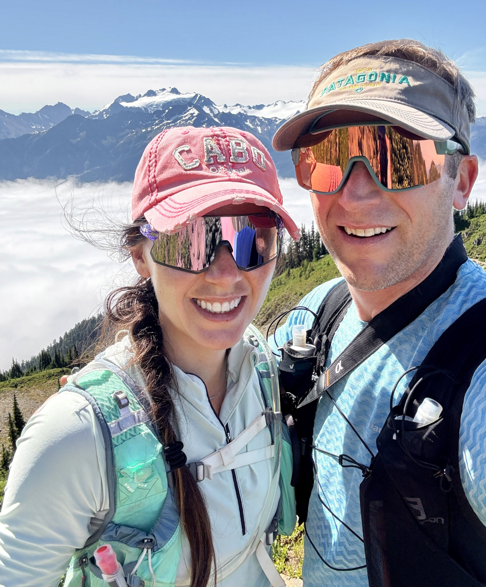
Stopping for a pic.
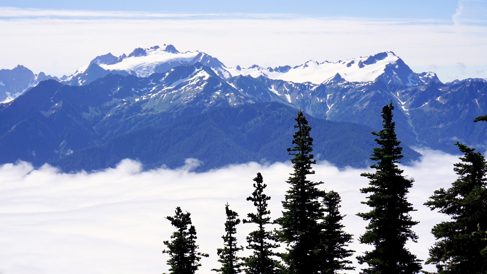
We took a long break and soaked in the views. Greens down low and whites of glaciers up high made for a sweet contrast. The forest and peaks in this region are so different from those of Colorado, while at the same time sharing many similarities. I felt like I was in a very different land than the one I’m used to, while at the same time feeling right at home.
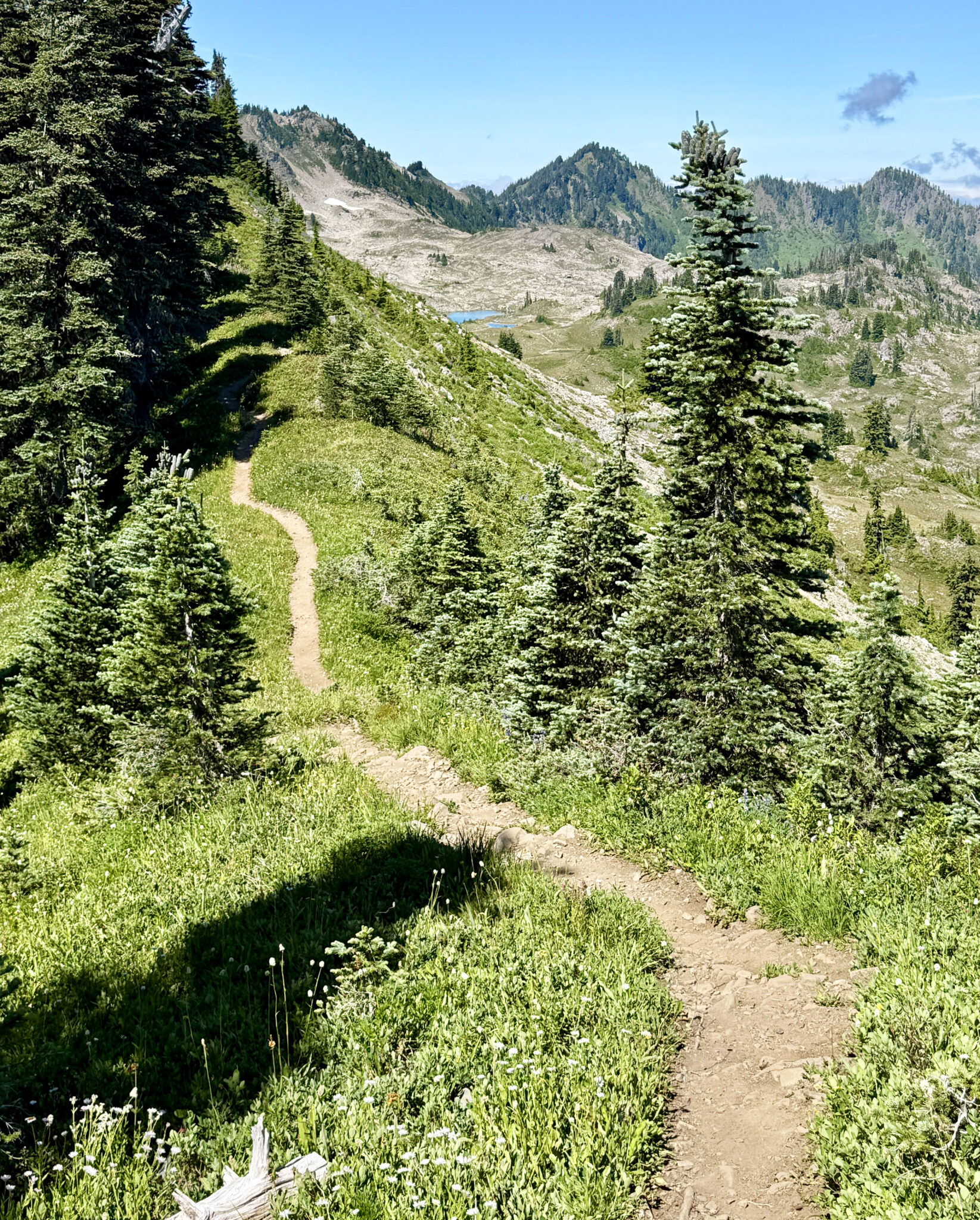
Continuing on, the High Divide Trail turning to the northeast.
Descending a spine dropping off the High Divide down towards Heart Lake.
After a few more miles of From Heart Lake the route descends back below tree line and follows the Sol Duc Valley for roughly 7 miles back to the trailhead. We were able to put several long stretches of running together through this section to the finish line. It sure was nice coming from 7,500 feet the day prior, as the thick air helped us finish the loop strong.
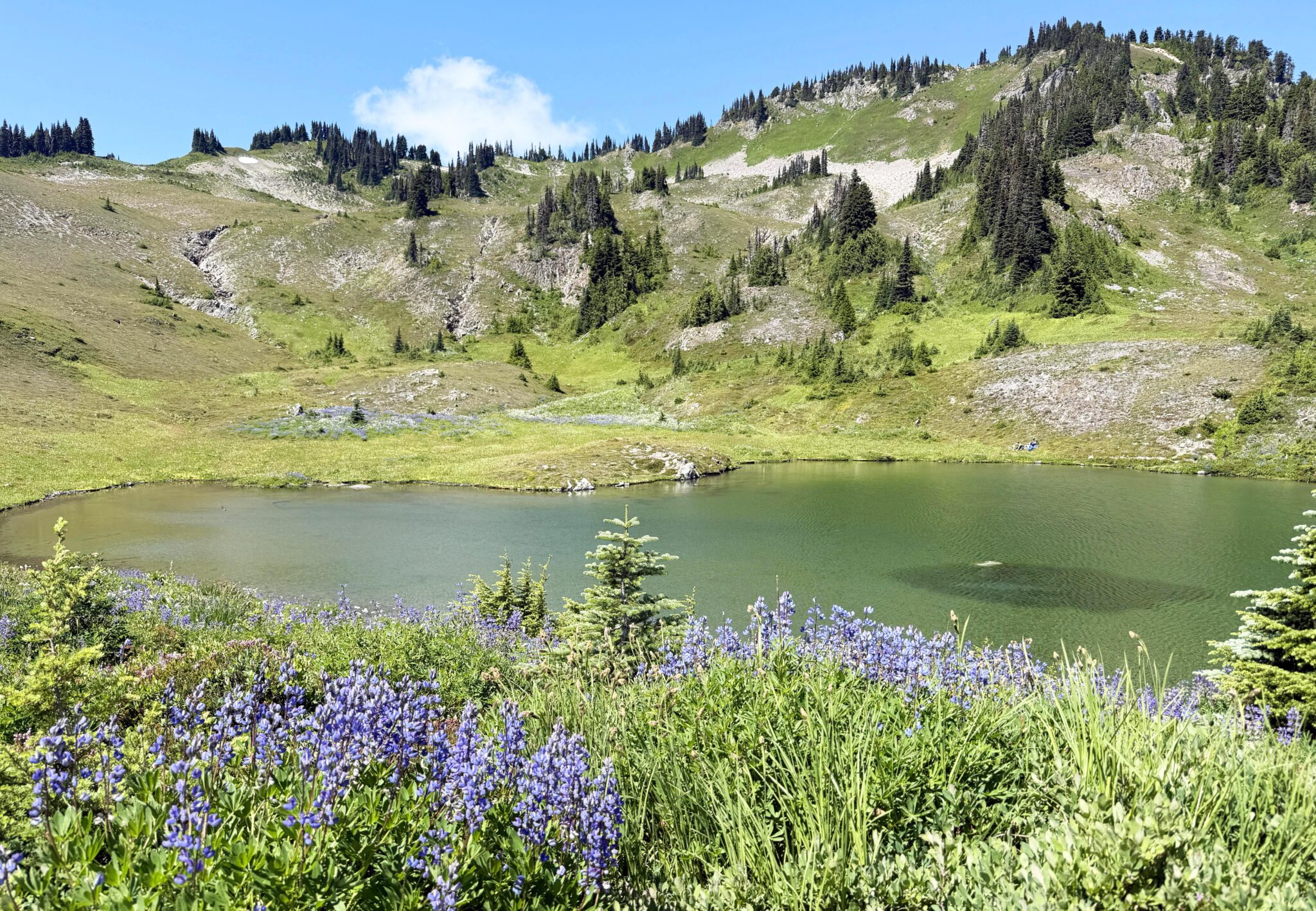
Heart Lake.
The last miles of the loop through scenic PNW forest.
Olympic National Park, we’ll be back…