The Sierra Nevada possess titanic proportions: I remember views of gargantuan granite walls during a summit of Mt Whitney, and ridge lines that contend with the Gore but stretch for far more when I made the long, easy trek to the top of Mt Langley. As with that latter 2021 trip to Cali, my solo alpine endeavors were pinned to a family beach vacation, so I had only three days for peaks, before making the drive to LA to pick up MB and the boys.
I reached the trailhead from Big Pine in early afternoon, stowed my extra food in one of the bear boxes, and made the hike on the trail from the backpacker lot. This trail is more scenic than hiking the road, but I can’t think that it is necessarily any faster, as you have to gain maybe a couple hundred feet as the path winds across the hillside, only to drop it all to reach the creek, where the trail splits. On my way out, I took the road.
Happy to finally be on the “real trail,” I eagerly moved up the basin. This is a pretty long approach. Soon I reached the crux of the trip: crossing the creek.
No logs or large stones provided any help for the ford across this small but impressive torrent, and I had only a single trekking pole. The far side beckoned from a mere 10 feet away, but I guessed those steps would take me deeper than waist high. I scouted the bank and decided to cross at a point higher up that seemed more shallow and perhaps slightly slower. I had crossed half way and the water coursed above my hips, when I stepped forward with my left (downstream foot) and the current swept me away. I literally made a circle as my pack weighed me backwards and I pivoted first to face downstream, before frantic (and I’m sure ugly) swimming strokes brought me around to the not-so-distant shore.
After wringing out the socks, I hurried up the trail and quickly encountered a broad patch of snow, and then the trees. Higher up, the strong trail dwindled to a narrow path and then transformed into a myriad of social/game trails in a maze made more puzzling by the mix of snow and rock outcrops. My progress was thwarted and soon enough, I just gave up on trying to find a camp spot near Willow lake and just looked for a decent flat spot to set up camp, as dusk approached and shadows deepened.
In the morning, I found that I had pushed farther up than I’d thought the day prior, as I quickly reached the bottom of finger lake.
Morning glory at the lower end of Finger Lake.
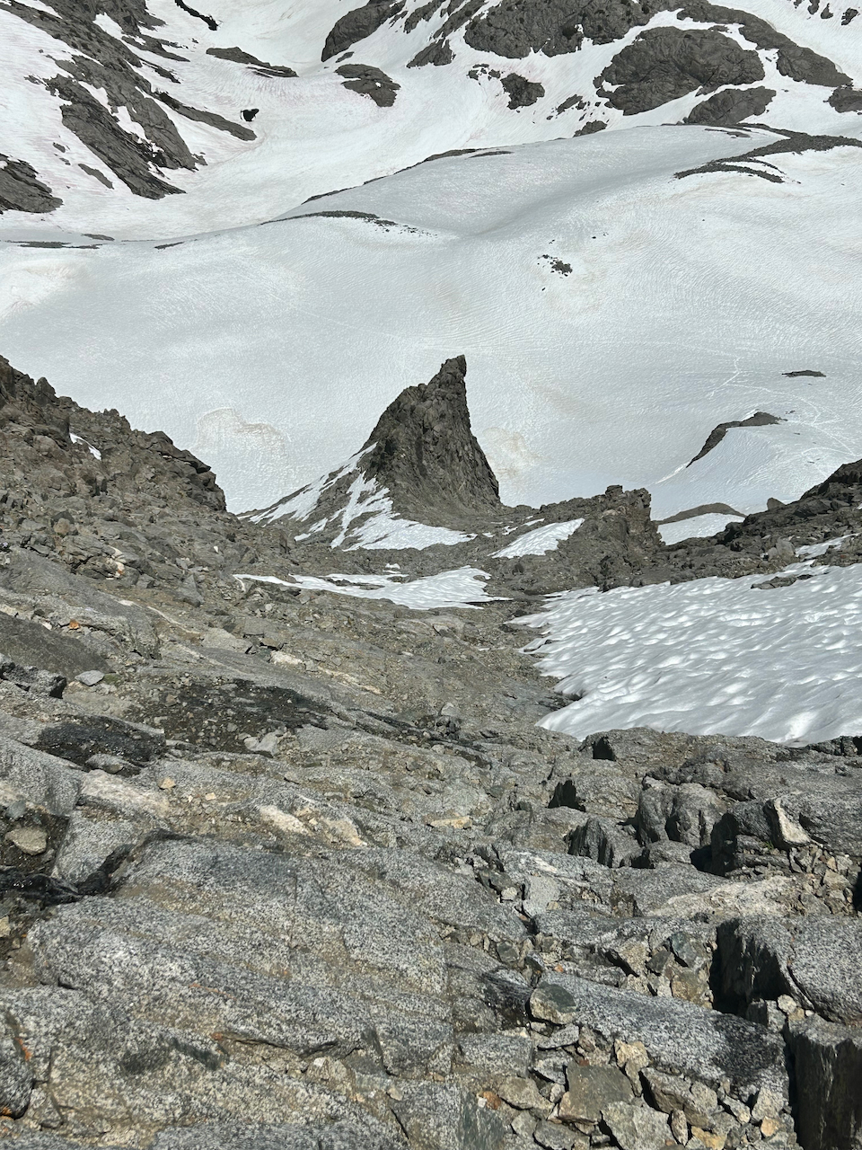
I had reached this region at an awkward time: earlier and the ice would be frozen so that I could just walk over Finger Lake and up into the moraine. With the snow still present, no trail was discernible either side of the lake. I explored on the east side only to end up returning to this spot and ascending on the west side. I could see Middle Palisade towering in the distance: it seemed very close, because the ridge that blocked its lower section also hid the entire moraine.
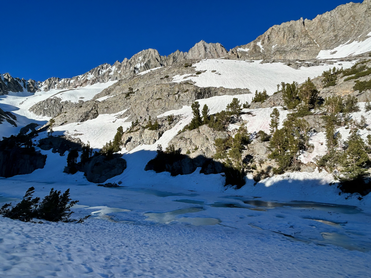
Finger Lake, the terrain west of it, and the hidden moraine below Middle Palisades ramparts.
I made good time in pleasant sunny morning, with firm supportive snow providing easy progress.
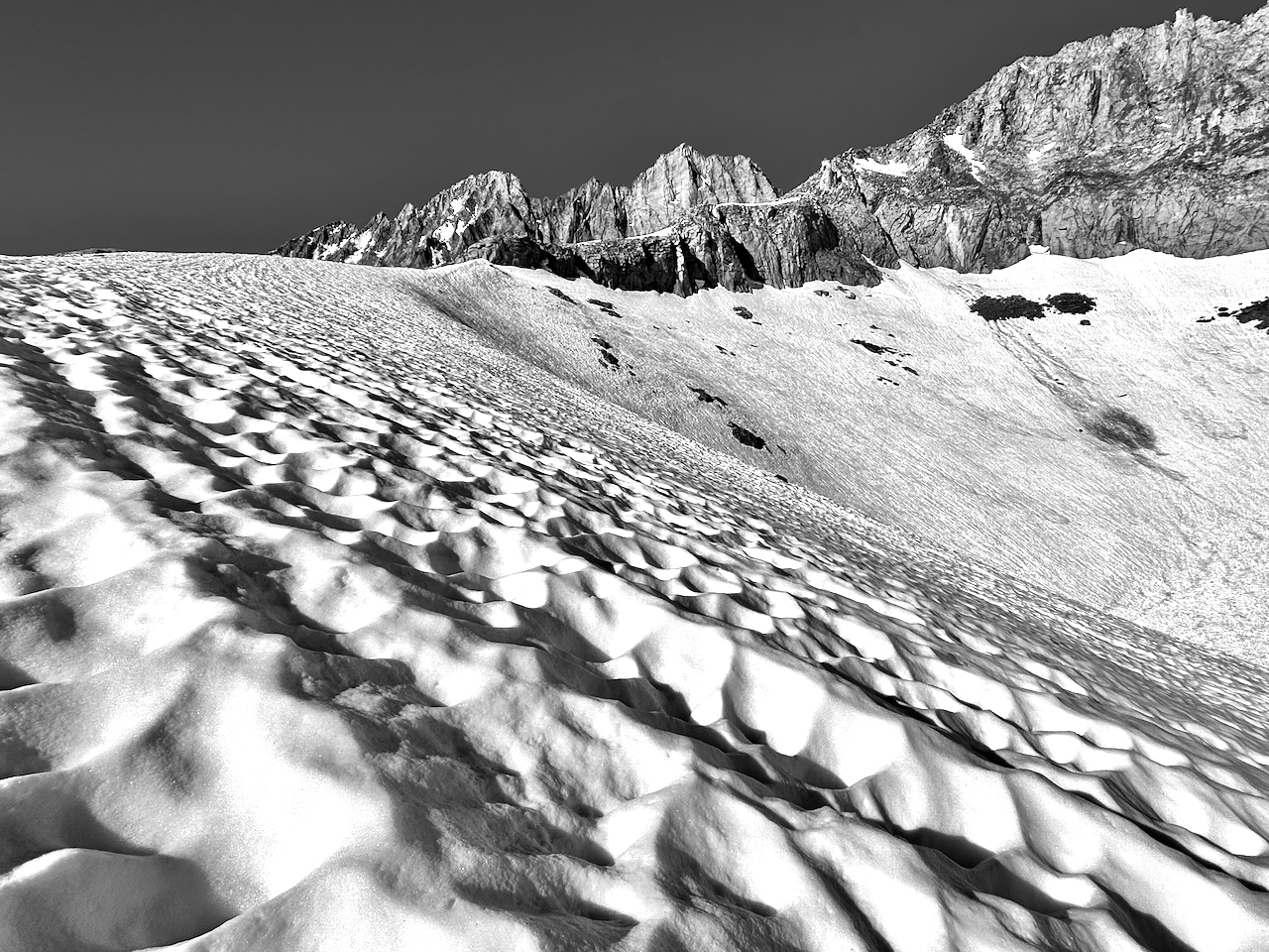
Suncups on a gentle ridge leading to the Palisade Glacier.
Even from this point, where Middle Palisade seemed so close, I still had another half hour to the base of the peak. Reaching the base, which involved a walk up steep snow, I looked around for purported “class 3 ledges” described by RJ Secour, left of the orange gully. I could find no such route; only class four that quickly became class five. After wasting 20 minutes or so, I just turned my attention to the gully.
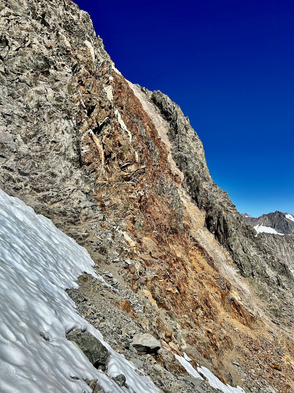
Online accounts of this gully being terribly loose are now overstated, due, no doubt, to many boots over the years.
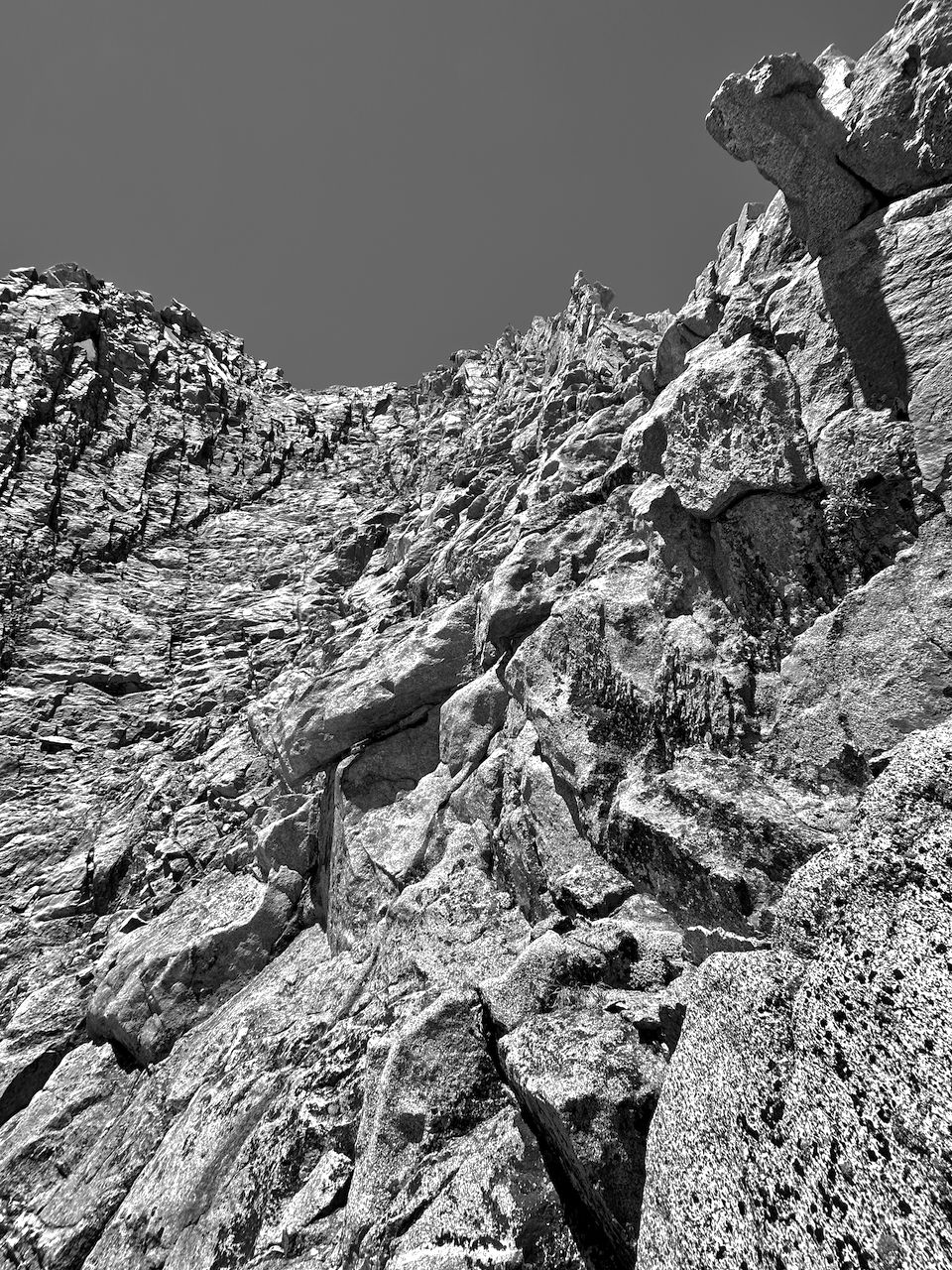
The strip of orange rock marks it, but the initial climb is up the beige and white rock on the other side. This gully makes a hard left turn farther up, and then you are presented with a vast face of slabs and ledges. I walked and scrambled upward, dodging the snow fields left of center in the next photo and aiming for the lower angled terrain above and right of the second buttress from left. The tiny late-lingering crescent moon above the peak beckoned me onward.
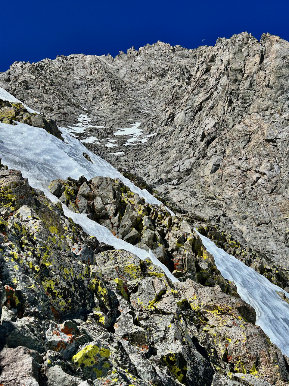
Initially aiming for the gully dead center, I ascended the right one under the moon.
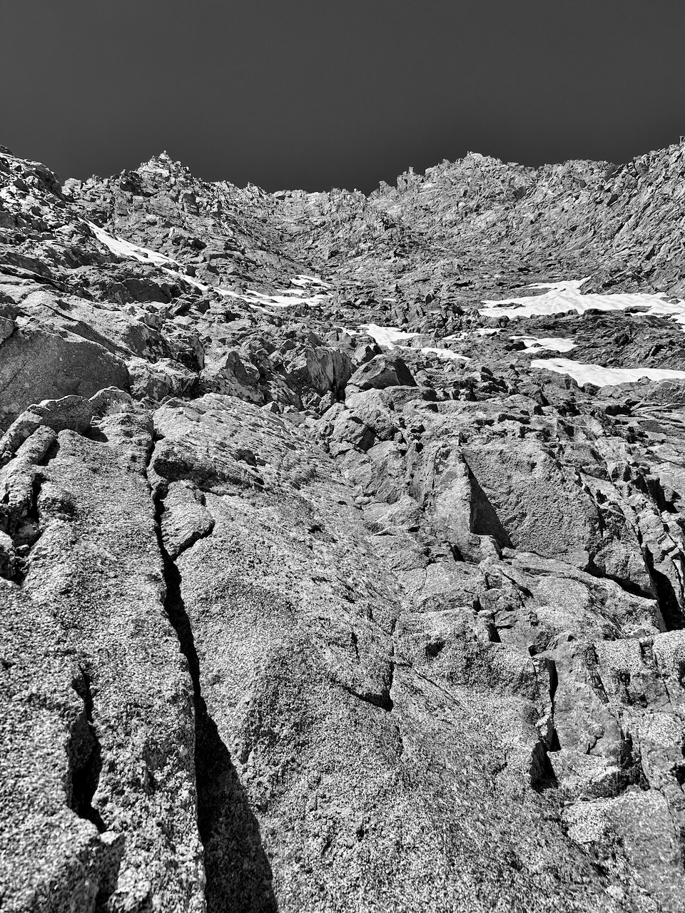
Rock, rock, everywhere…
The prominent pyramidal point at upper left serves as a useful landmark on the descent.
I had read an account by a previous climber that described Middle Palisade as one of his favorite peaks, because of the sustained quality class 3 scrambling. I felt let down to be here: it was all quite easy class 3, across a broken amphitheater of a face. I had expected a bit tougher scrambling and quite a bit more exposure.
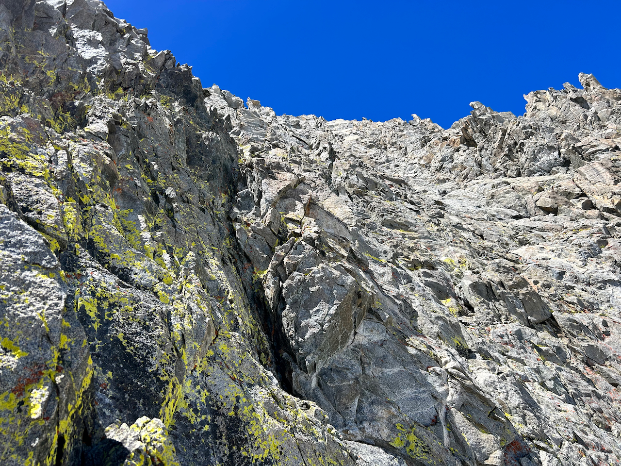
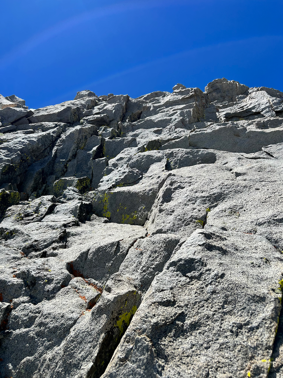
Pretty solid rock.
I shrugged off the disappointment. The day was perfect and I enjoyed the warm sun, cool air, and feel of the rock on my fingers. I found a peculiar formation like a mushroom jutting above me as I neared the upper portion of the peak.
It’s a big rock face, and distinguishing features are tiny in comparison.
The pitch steepened considerably with slight warning, and then I I found myself on the ridge, with the summit in clear and close view. I had somehow traversed to north side of the summit, and I did not feel comfortable with the airy, delicate Jenga stack that presented itself.
This pitch I backed away from looks much more benign than I recall from my view at the time.
So I downclimbed and looked for a decent route to contour beneath the summit. I found a spacious slab of a ledge and decided it would make a nice lunch spot, as the time had just reached noon. WIth my eagerness to reach the top, though, I only ate a few mouthfuls and took some water, before making my upward.This pitch presented some large jugs that made for a joyful climb.
Get juggy with it!
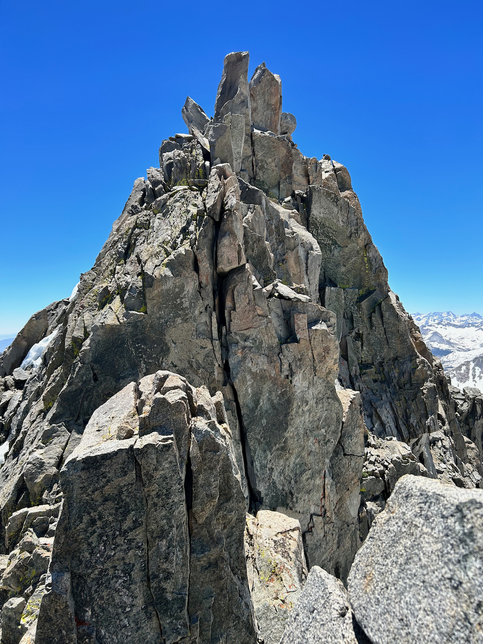
I relished the summit and gazed for many moments at the formidable ridge of the Palisade Crest to the north: granite fangs piercing the air.
If this view doesn’t inspire Ben to venture to the Cali 14ers with me, none will…
Then I turned my attention to the summit register, which is a an ammo box bolted onto a generous slab just beneath the high point. I soaked in the sunshine and ate a little more food, before turning my attention to the decent. Unsurprised to find an easier option off to the south side, I took it and then continued downwards.
I realized I was now quite a bit off to the southeast side of this massive mountain, so I looked for a feasible option to traverse to my left (north and west). After about 25 minutes, I recognized a horn of rock below me and determined that I needed to veer to the left of it in order to reach the lower face and orange gully.
Sauron’s diving board.
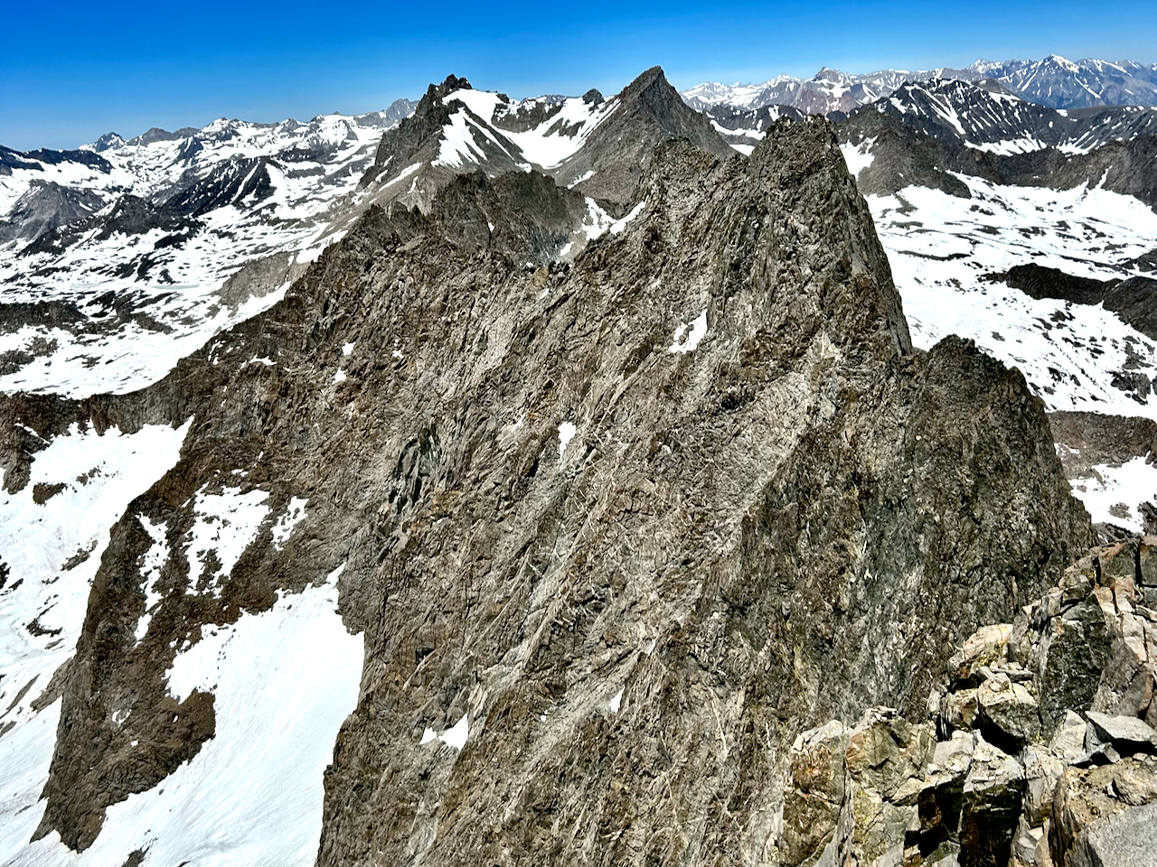
Moving consistently and deliberately, I picked my way back down the rock and snow patches, finally reaching the gully after the better part of an hour. Despite it being 2 pm, the snowfield remained solid and I scurried back toward Finger Lake, while pausing to admire the massif of “The Thumb” that marches northeastward from Southfork Pass.

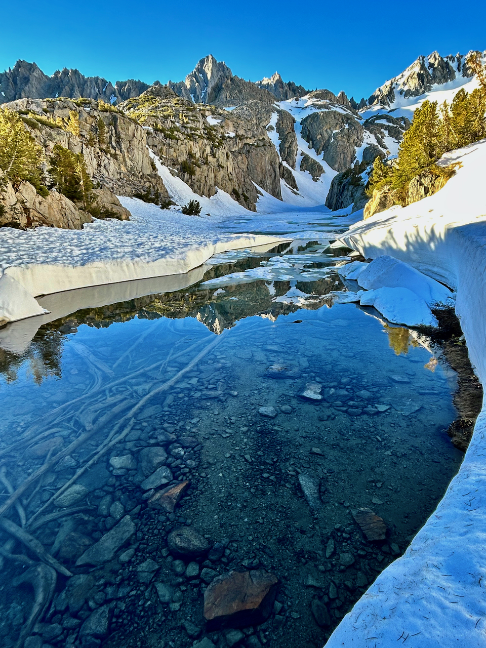
Note the snow peeling off the lower right. I’d read some reports of sustained rock hopping to reach Middle Palisade and felt thankful for the supportive snow that allowed speedy progress.
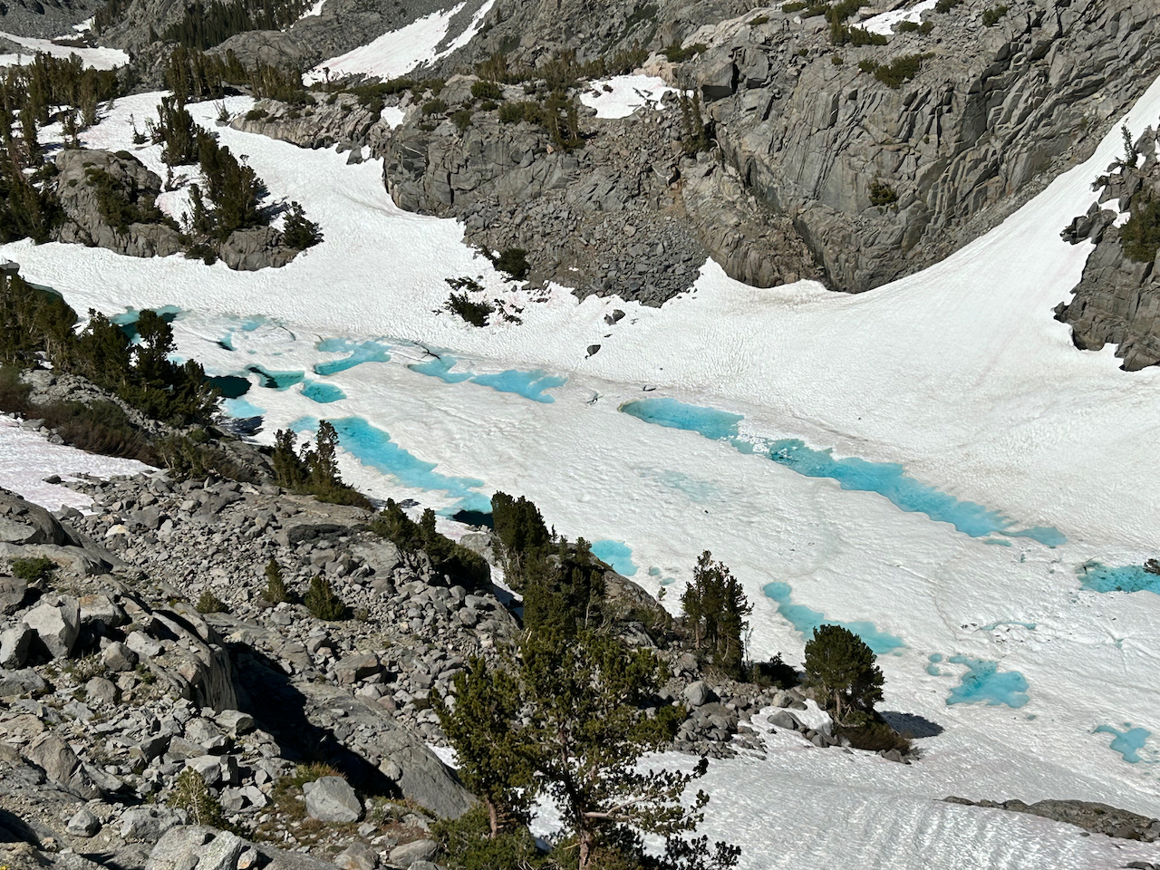
The vivid color of the water seemed unnatural.
Continuing downward, I picked a line much closer Finger Lake than I had taken on the way up and stopped a few times to marvel at the startling aqua water amid the snow. I reached my camp about 4 pm, making it a 9 hour day to the summit and back. Not relishing the idea of the swim across the creek on the way out, I decided to camp a second night and pack out the next morning. It felt both sublimely tranquil and a bit eerie to be in such splendid surroundings with no other humans around, in mid-summer.