Descending the north side of Silver Creek Pass as rain rolled through the area.
With just three weeks to go before the Devil on the Divide it was time to get a few mountainous long runs on the schedule. Sticking to the theme of exploring new trails and frankly, as a means of staying motivated to run this late in the year, I decided to head over to Marble and check out the Avalanche Pass area.
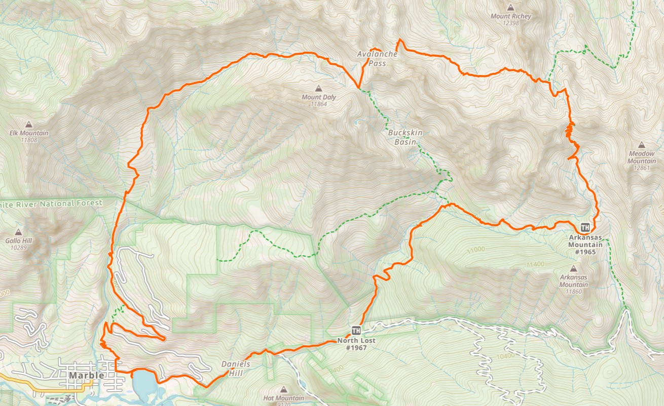
A map of the loop I wound up running in the counterclockwise direction starting from town. Stats came out to 17 miles, 5,500 ft. Click to enlarge.
The idea came from a post over on Ted’s blog I had read a few years back and made sure to add to the wish list. He and Christy completed a similar loop from the Lost Creek TH over Avalanche and Silver Creek passes, in the clockwise direction.
I took their idea and switched it up a little by starting in downtown Marble, reversing the direction up and over Silver Creek Pass first, with a descent from Avalanche Pass down Carbonate Creek back to town. It was a super scenic loop, made even more dramatic by the unsettled weather which unexpectedly rolled in at 9am and stuck around for most of the day.
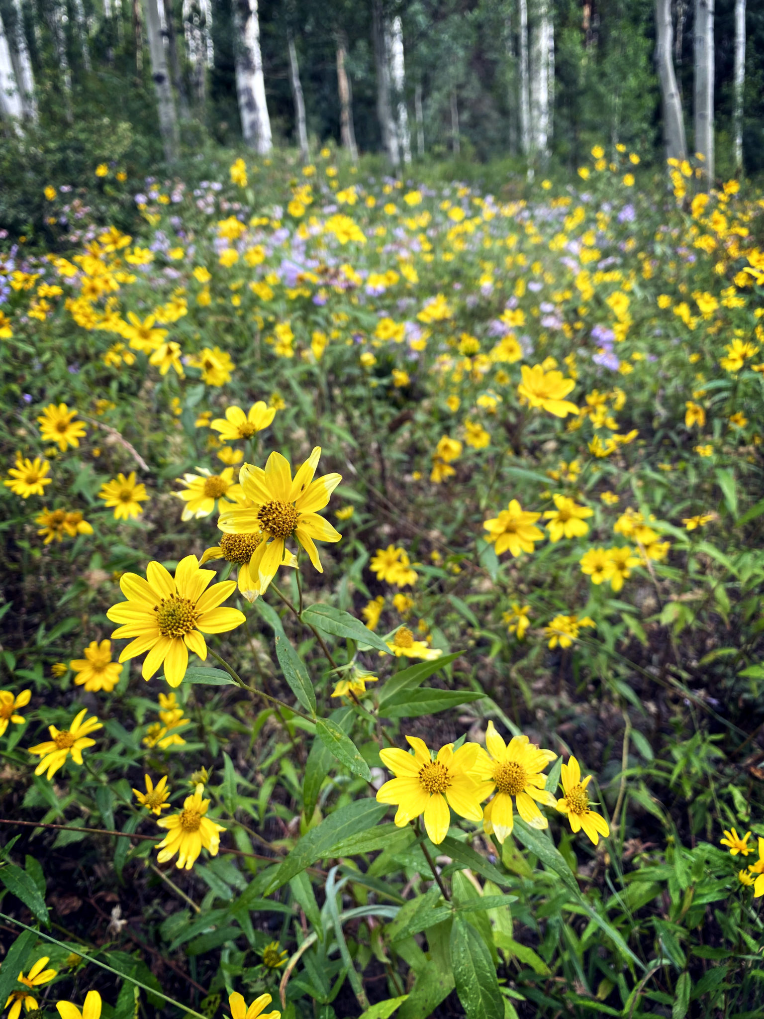
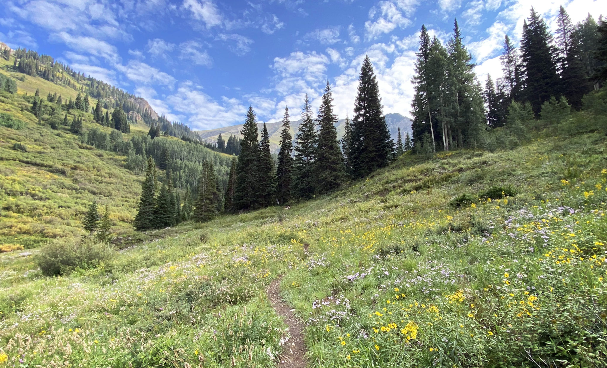
It’s still very much wildflower season around here at certain elevations.
The trails in this particular region are defined but it’s clear they don’t get much traffic by 2021 standards. Sections are overgrown and can disappear entirely for brief stretches, and you just get a distinct sense of solitude as the odds of running into another party are low. It’s neat, or maybe not, depending on your appetite for solitude.
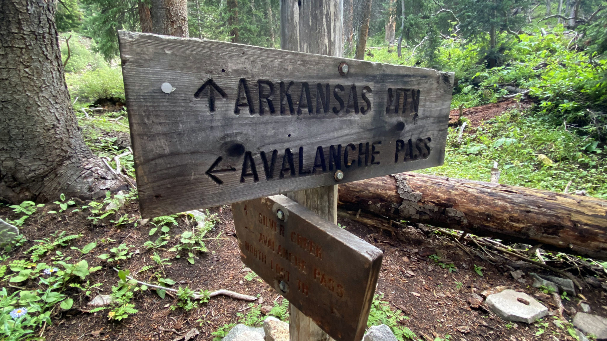
The Lost Creek/Buckskin Basin trail split.
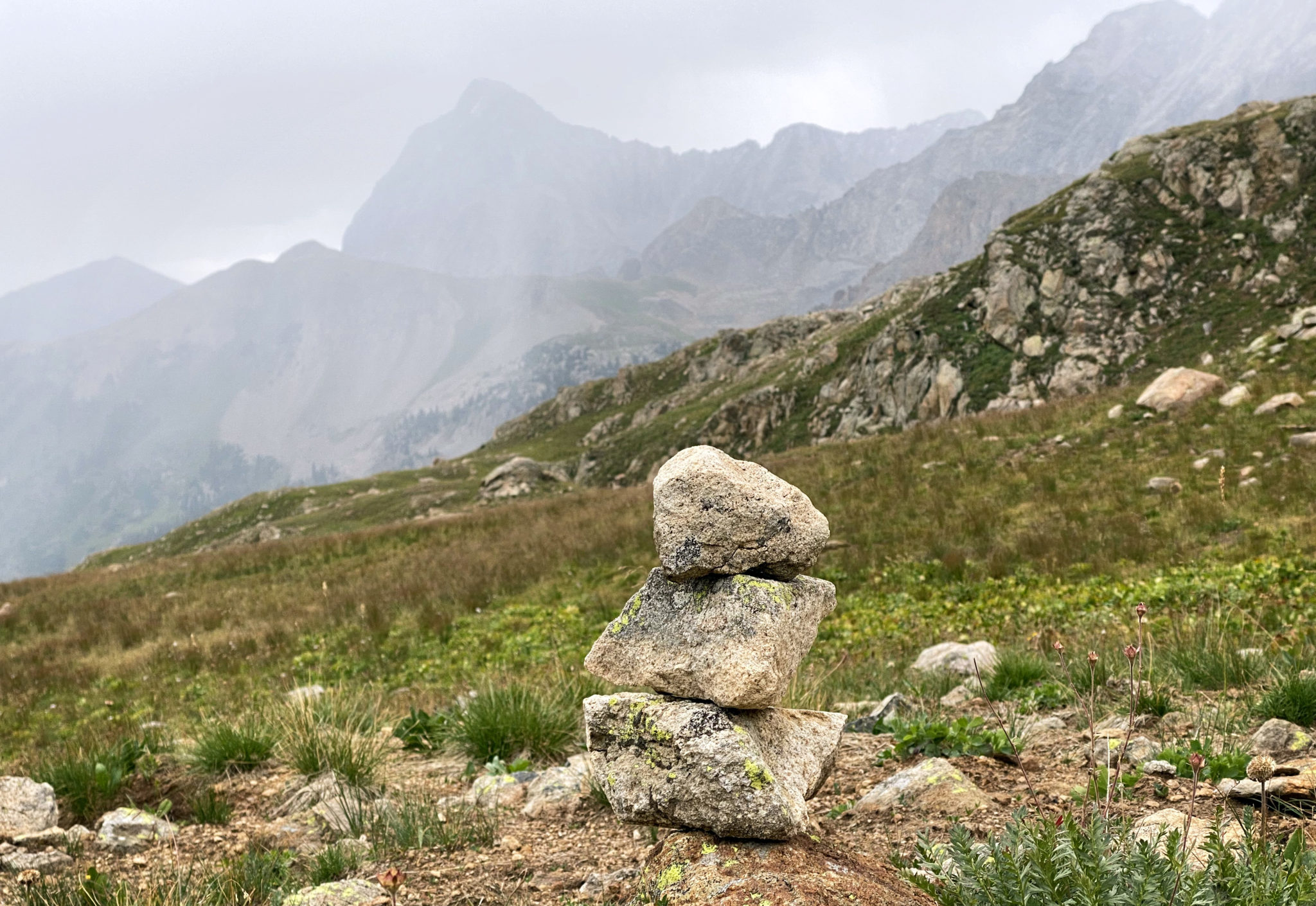
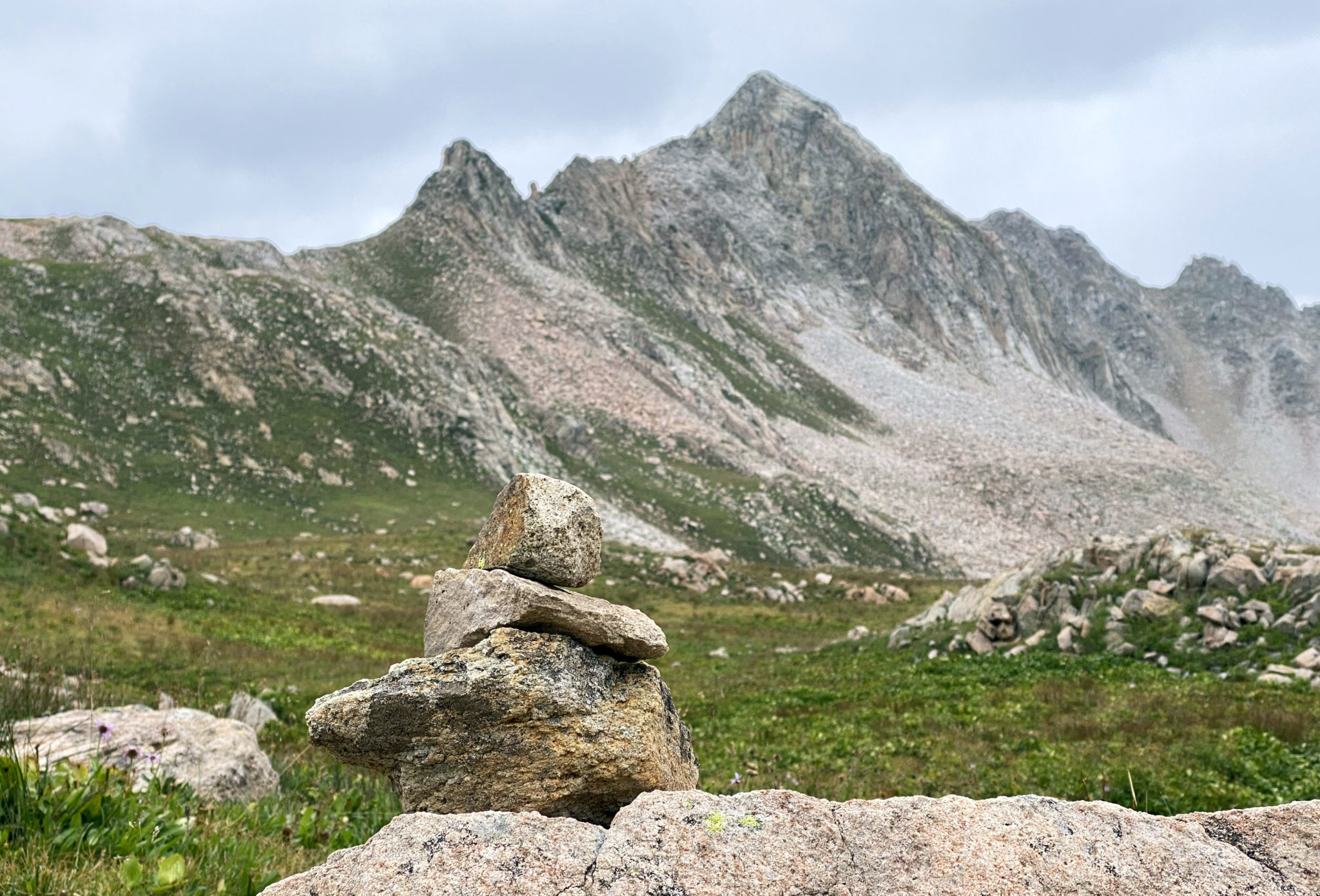
From the Avalanche Pass trail sign a few miles in I hung a right and continued up the Lost Creek Trail. A few more miles through open meadows took me above treeline and eventually to the Silver Creek Trail split, which is marked by a small cairn. A left there and I was on my way up to Silver Creek Pass.
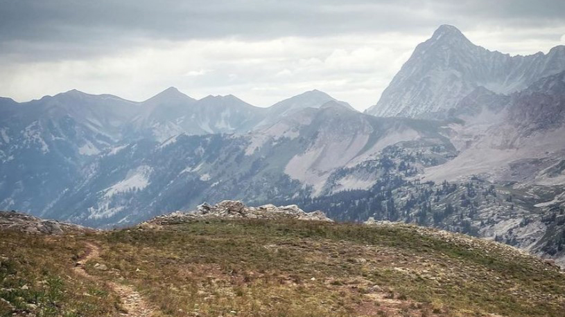
Great morning weather, but it was not to last.
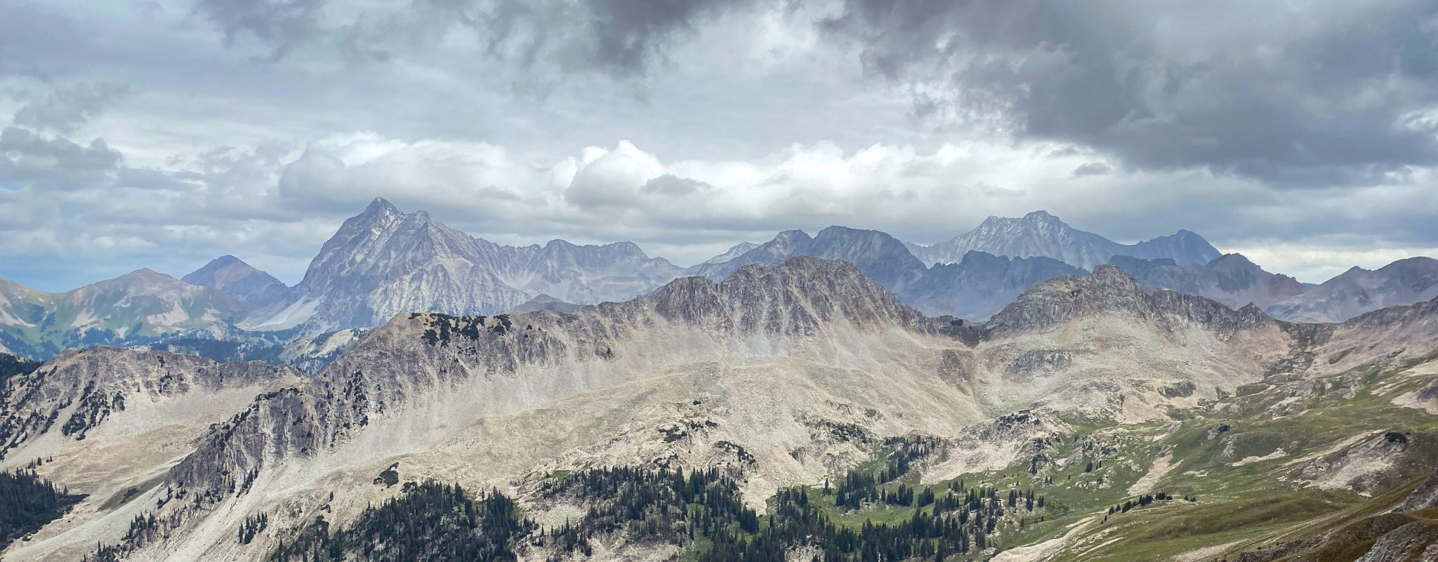
Nearing Silver Creek Pass. There’s a well-defined trail through here with plenty of switchbacks to make the ascent runnable. That’s Treasure Mountain’s long summit ridge in back.
I descended a few hundred feet off the north side of the pass and decided to hunker down for a bit before continuing up and over the second pass of the day. With some moisture bearing down on the area it was better to be safe than sorry.
Taking a break with Capitol Peak’s silhouette providing a fine view.
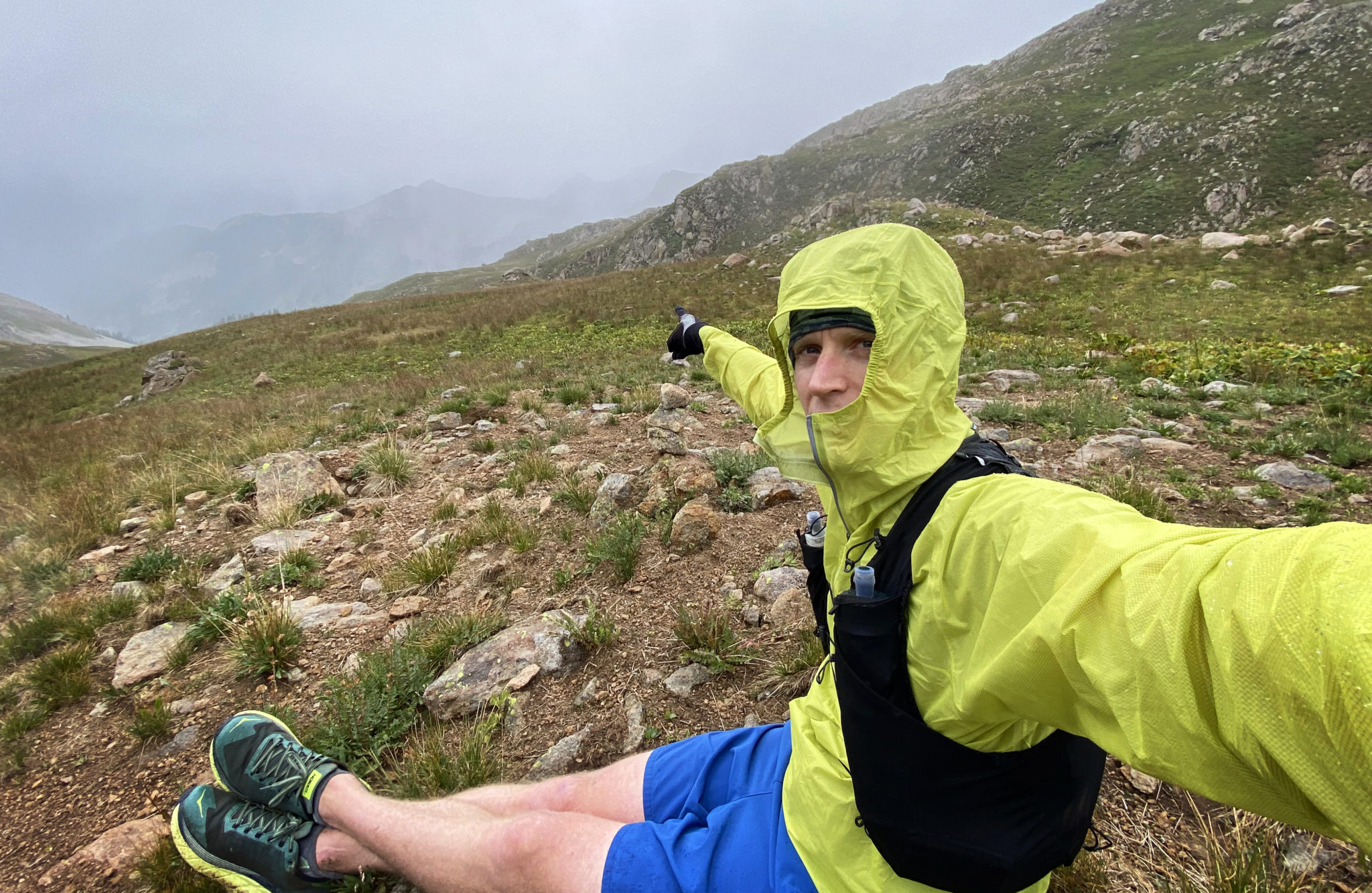
Then Capitol disappeared into the gloom. Here’s me pointing to where the peak was just a few minutes earlier.
But the old Colorado mantra of, “If you don’t like the weather, just wait 15 minutes” played out true to form, and soon I was on the move again up towards the pass just south of 12,460 ft Mt. Richey.
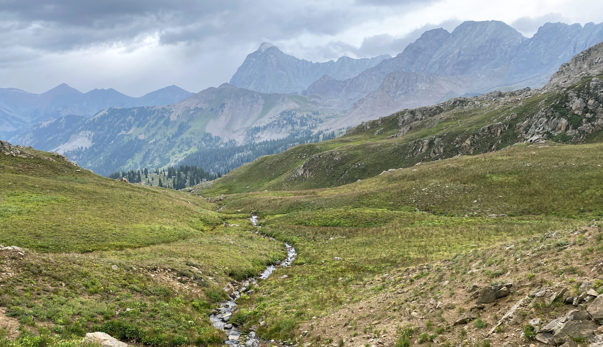
The east fork of Avalanche Creek. Quite a beautiful and remote drainage.
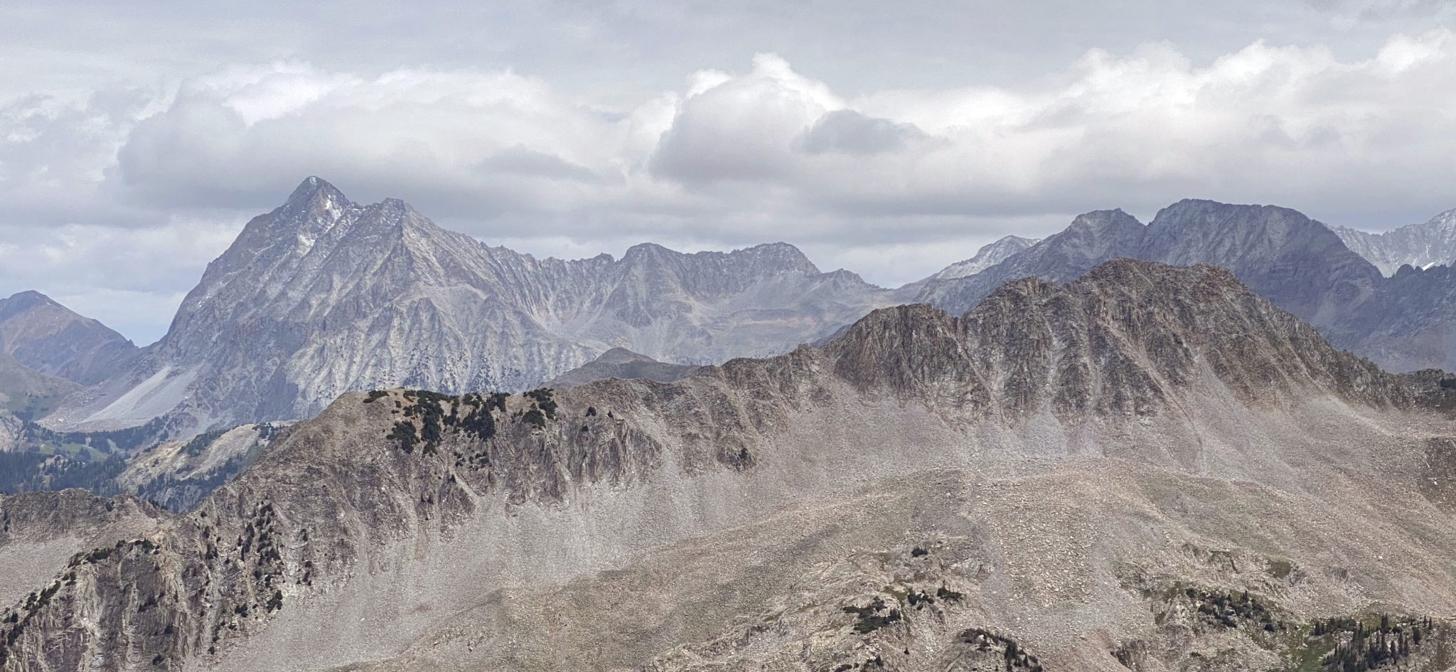
Mt. Richey with the pass/saddle I was aiming for on the left.
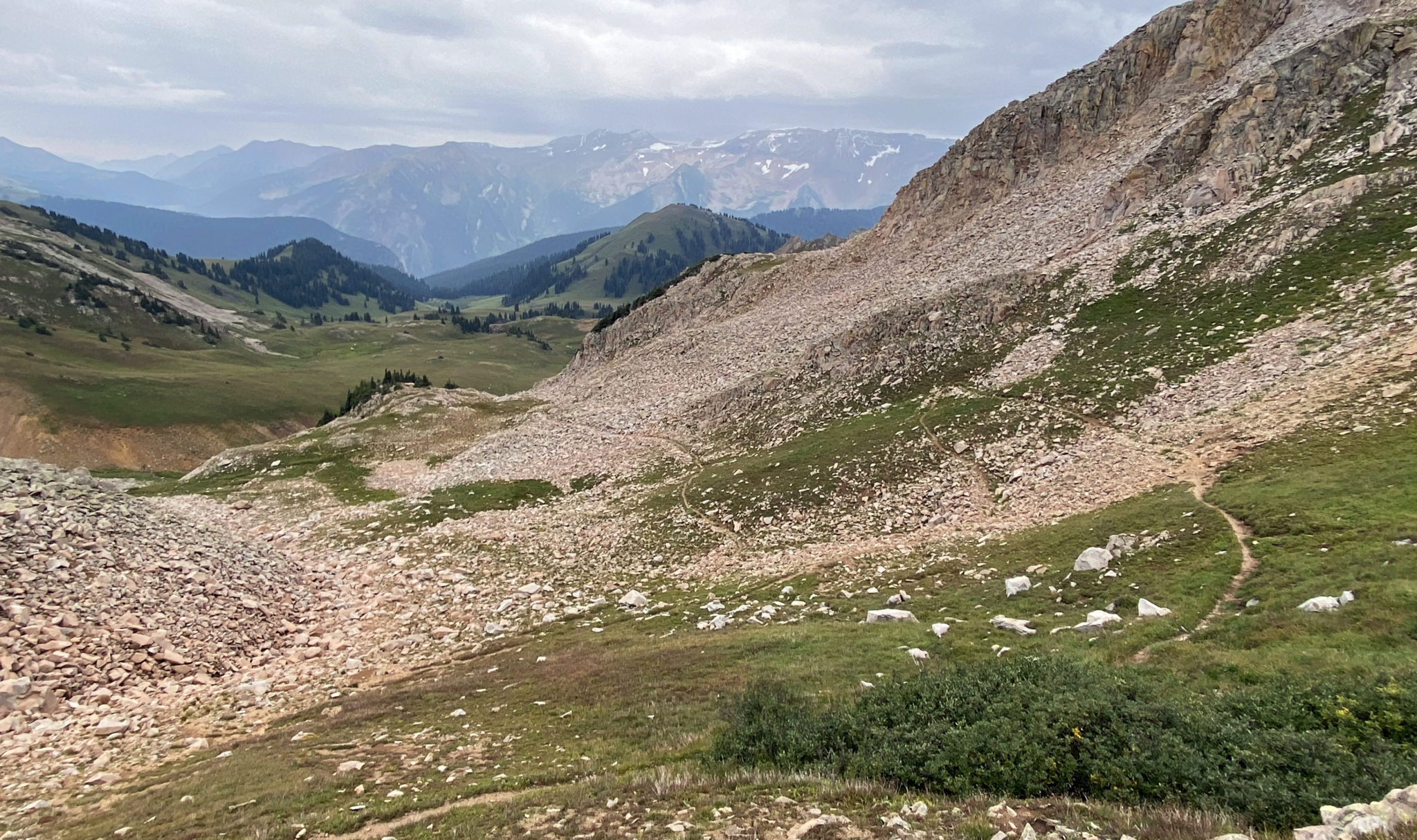
From the top of the second pass I descended into the west fork of Avalanche Creek and traversed through the upper-basin to the Avalanche Pass trail. The trail is not very well defined through here so a map and GPS help a lot in finding the correct pass to shoot for.
West fork of Avalanche Creek, looking west.
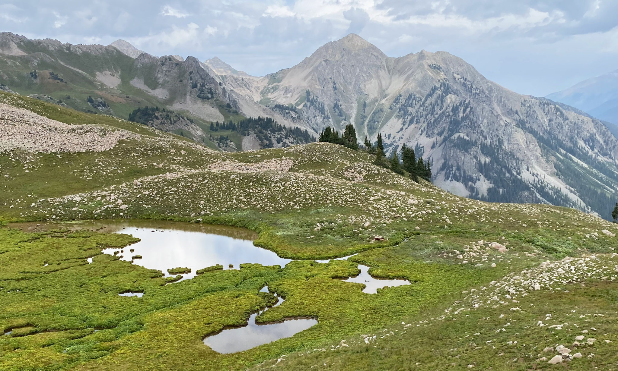
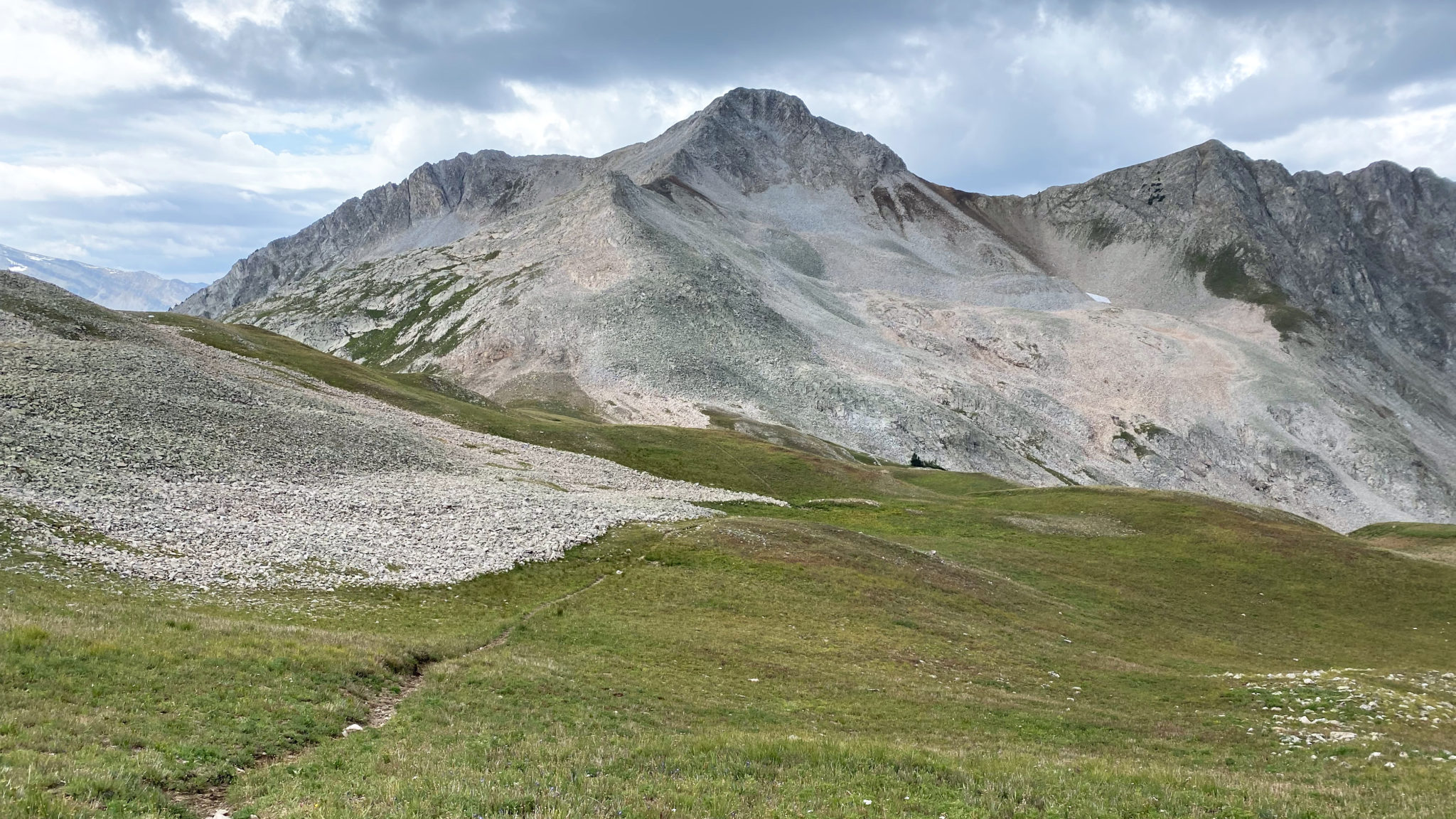
Views from Avalanche Pass.
One last shot of Capitol, which stole the show for most of the day as it usually does. Click to enlarge.
From Avalanche Pass the trail becomes defined again, and a short descent south leads to another junction. Rather than descend back down to the Lost Creek Trail (left) I took a right and headed down Carbonate Creek.
The other Mt. Daly of the Elk Range (12,610 ft) with the trail junction just ahead.
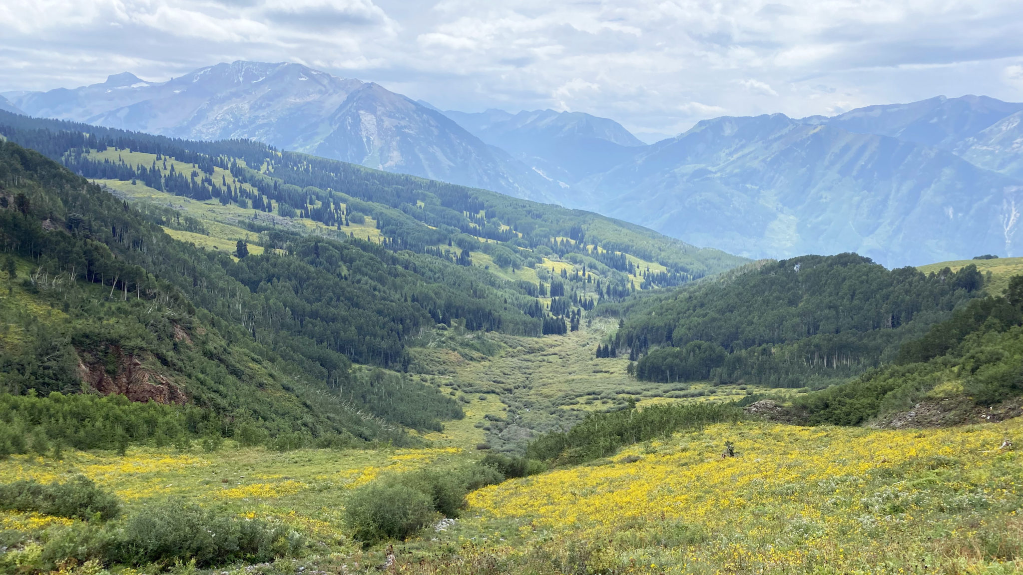
Descending Carbonate Creek.
Recent mudslides had taken out short sections of the Carbonate Creek Trail but overall it’s a fine trail that gains definition as you get closer to Marble. Eventually I hit the neighborhood on the north side of town, followed signs through all the private property and landed back at Beaver Lake. From there, it was a no-brainer to head down the road for a brew and brisket sandwich, courtesy of Slow Groovin’ BBQ.
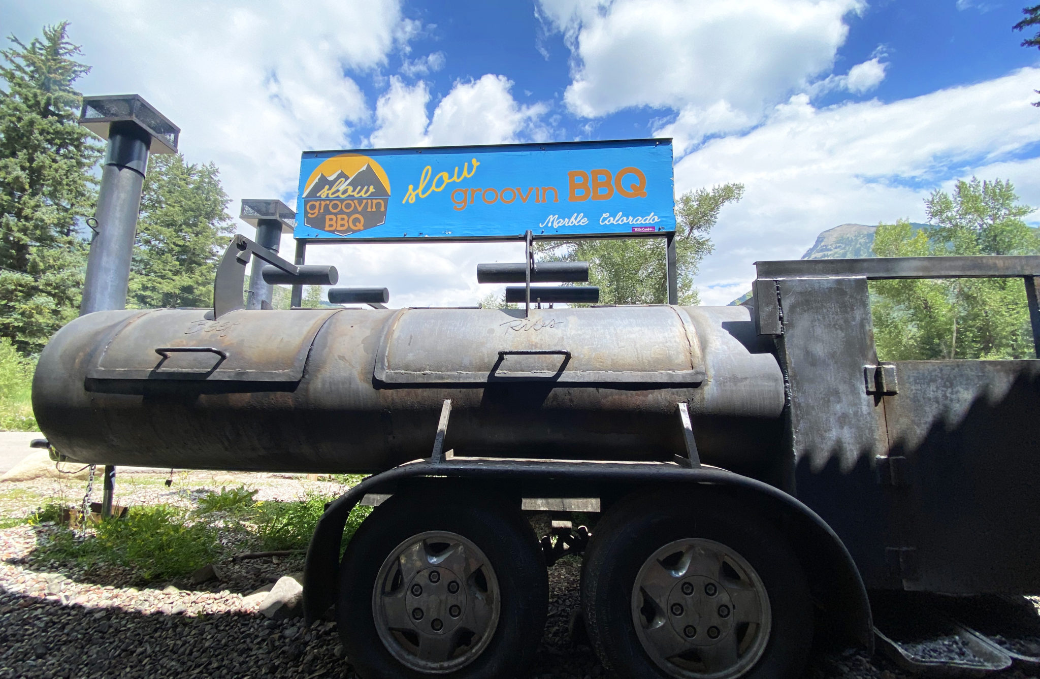
The place to be after any sort of long day in the Marble area.
It’s been fun exploring some of the lesser-known corners of the Elks, and this day was no exception. All in all a great loop that I’d certainly recommend.
And now it’s onto the Devil on the Divide in a little over two weeks. Fall is slowly creeping its way into the Colorado high country, so get those summer days in while they last 🙂
How was the brisket at “Slow Groovin”? Looks like you earned it. Solid loop. I’ve been to Marble 1x in 15 years. Maybe one of these days I’ll go back, this TR helps.
They’ve got solid BBQ and Superfan cans. You’d like the place. Speaking of going back to Marble I’m still looking for that Treasure ski…