Treasure Mountain (13,528 ft) seen from Treasury Mountain’s summit, September 2nd. Click to enlarge.
Last week I headed over to Marble and climbed the Treasure Mountain duo from Yule Creek. It was probably the best weather day I’ve experienced all summer, with a pair of cool summits in a unique area of the Elks I had yet to explore.
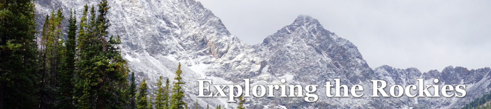
Treasure and Treasury Mountains are the high points of a long, curving ridge line extending from Whitehouse Mountain just south of Marble down to Yule Pass northwest of Crested Butte. The two peaks reside in the Raggeds Wilderness, and are separated enough from the rest of the high peaks of the Elks to feel as though they belong to their own little mini-range. And in many ways, they do. The peaks are named after an old fable of gold buried by a French mining expedition in the late-1700’s, and William Yule’s failed attempt to find the lost treasure many decades later.
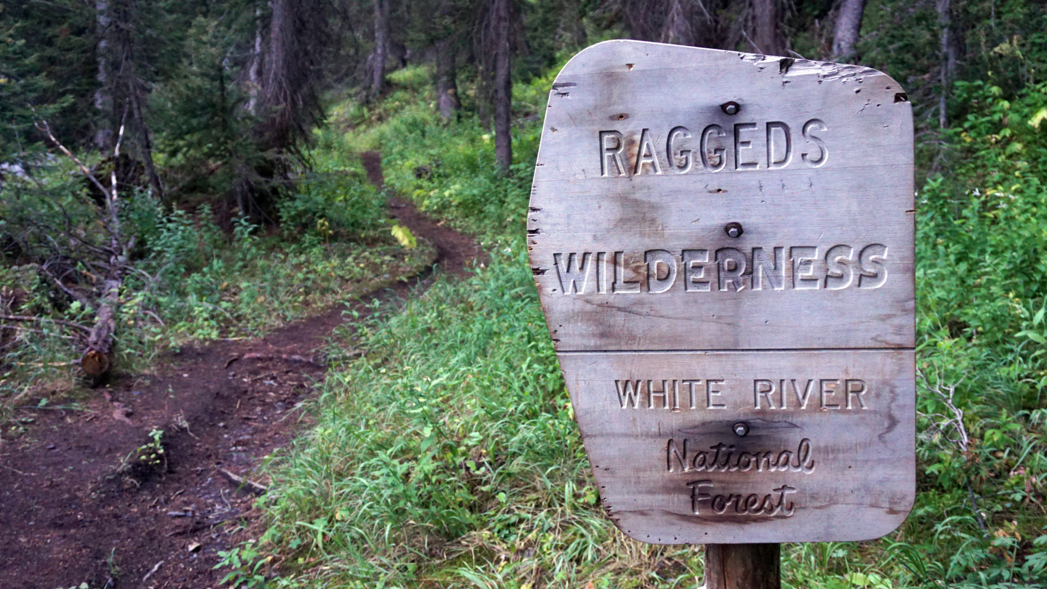
Head west far enough in the Elks and you’ll no longer find yourself in the Maroon Bells-Snowmass Wilderness, but the Raggeds Wilderness instead.
My day began up the Yule Creek Trail, which starts about 2.5 miles up the road from Marble just shy of the Yule Quarry. Past the turnoff for Anthracite Pass I followed the trail on down to Thompson Flat and started the long ascent up Treasure Mountain’s west flank from there. The ascent took awhile and was hard-won, as from the low-point in Yule Creek to the summit entails a nearly 3,800-foot ascent up steep forest, talus and avy paths.
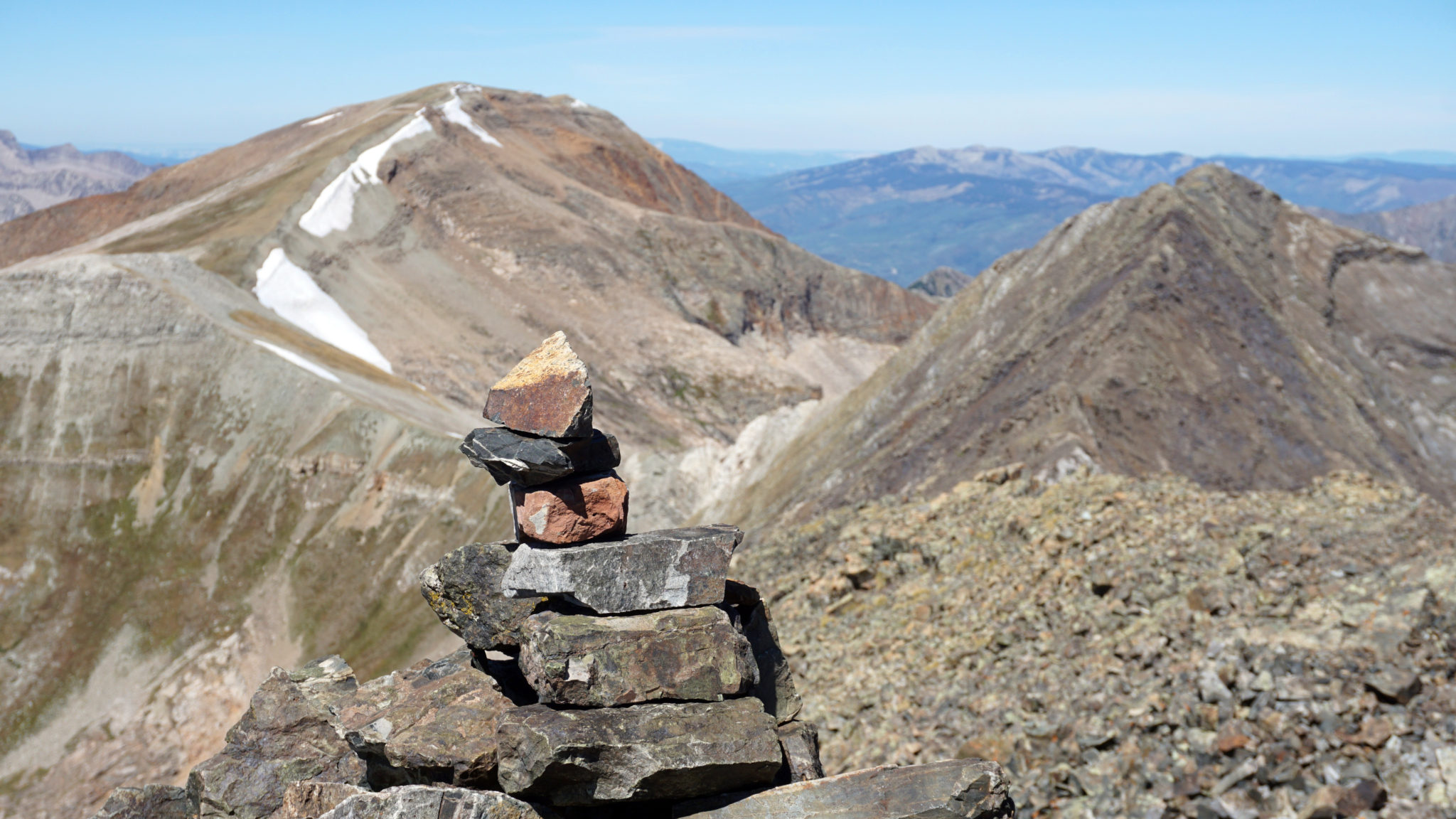
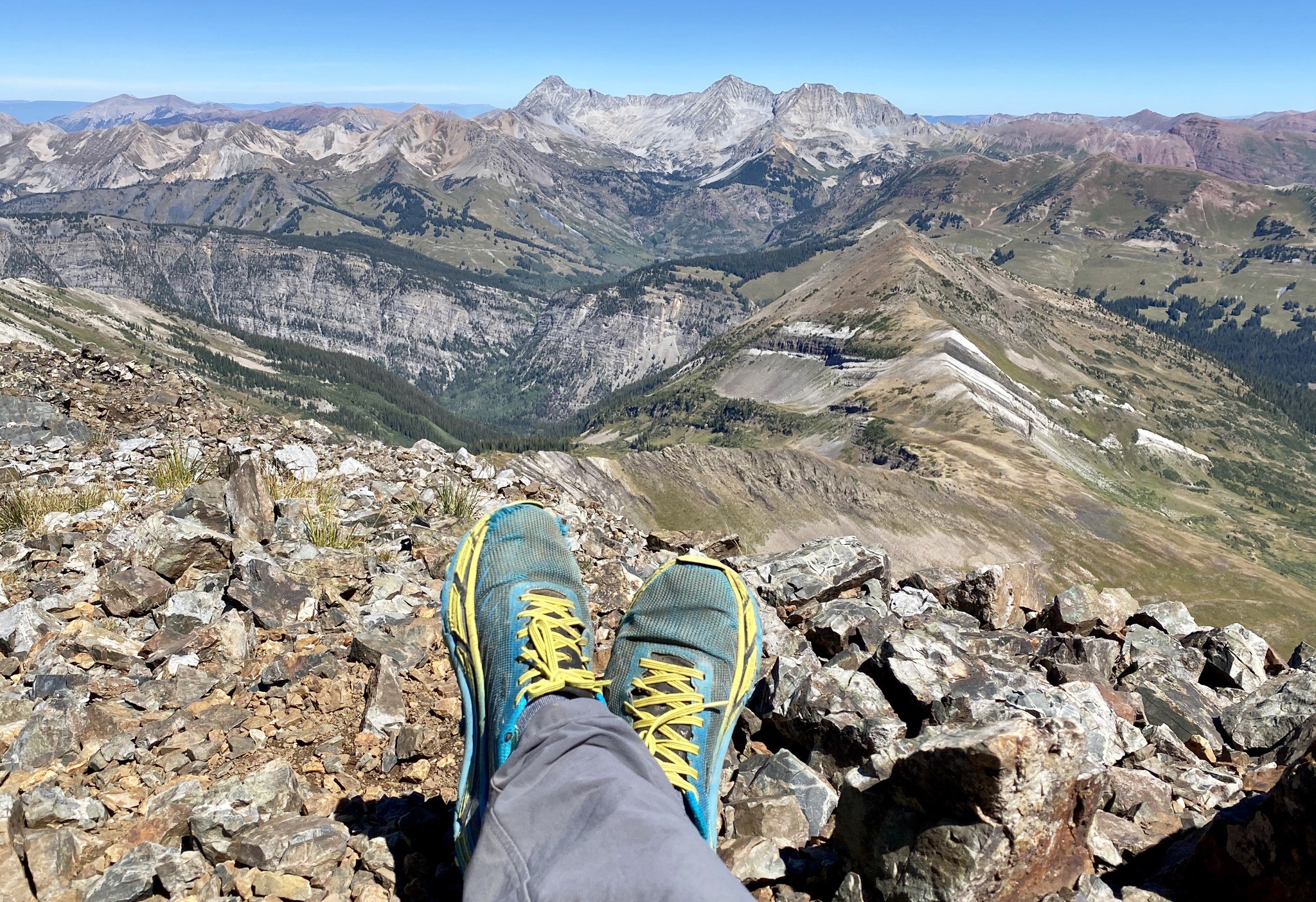
Treasure Mountain’s summit cairn, looking towards Snowmass and Capitol 7 miles to the north.
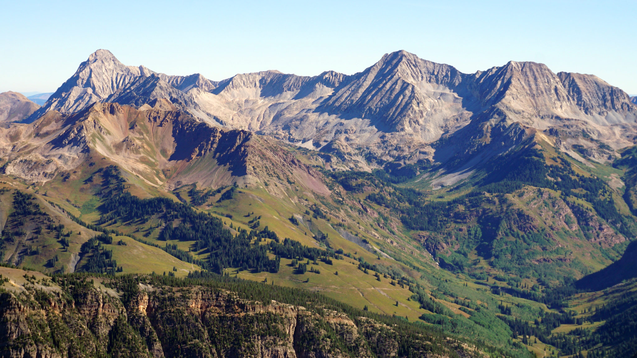
Geneva Basin and the Snowmass-Capitol massif. Needless to say the views from up here aren’t too shabby. Click to enlarge.
Signing in.
After a long break on Treasure’s summit to refuel and enjoy the views, it was time to continue on over to Treasury Mountain. The ridge between the two is mostly benign, but for a vertical cliff band which bisects the west ridge of Treasury’s sub-summit. Although the cliff band could be tackled directly (it goes somewhere in the mid-class 5 range), I opted to drop off the ridge and skirt underneath the cliff. Doing so requires losing and regaining around 800 feet of elevation.
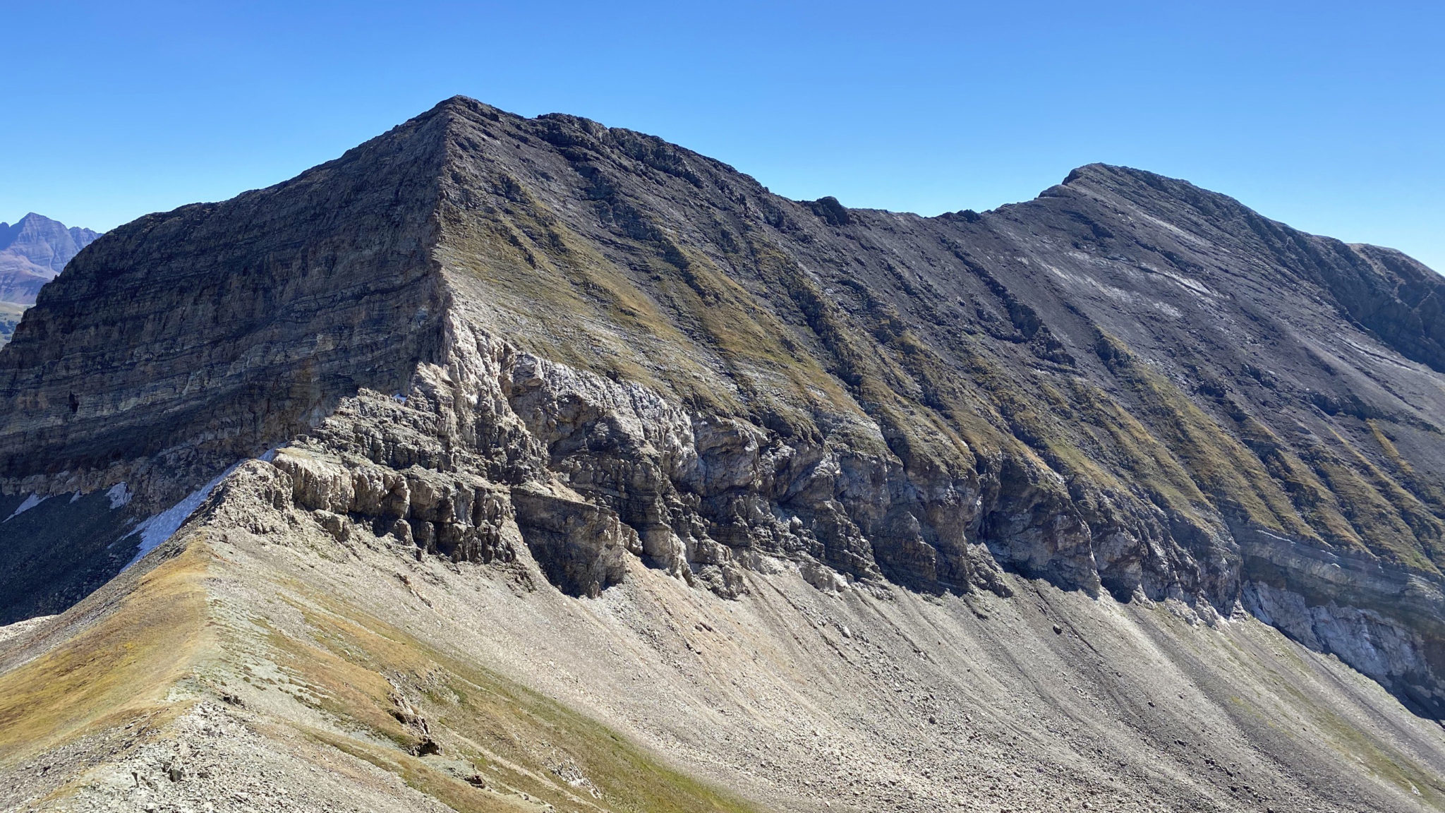
Treasury Mountain and the cliff seen from the connecting ridge from Treasure. The route I took skirts below all the cliff bands and heads out of the frame to the right before ascending directly to Treasury’s summit. Click to enlarge.
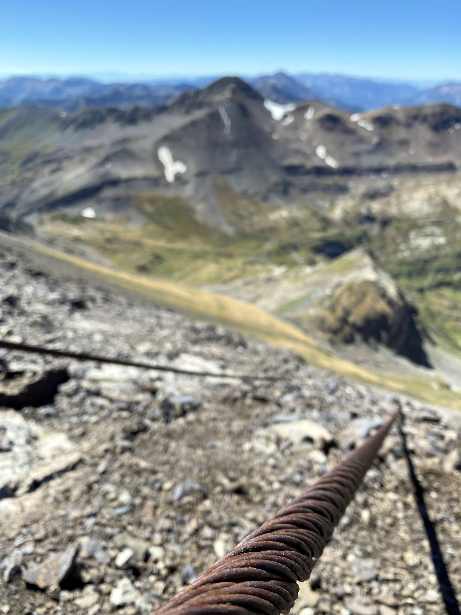
Some old mining cables on Treasury’s west face. That’s Purple Mountain in back.
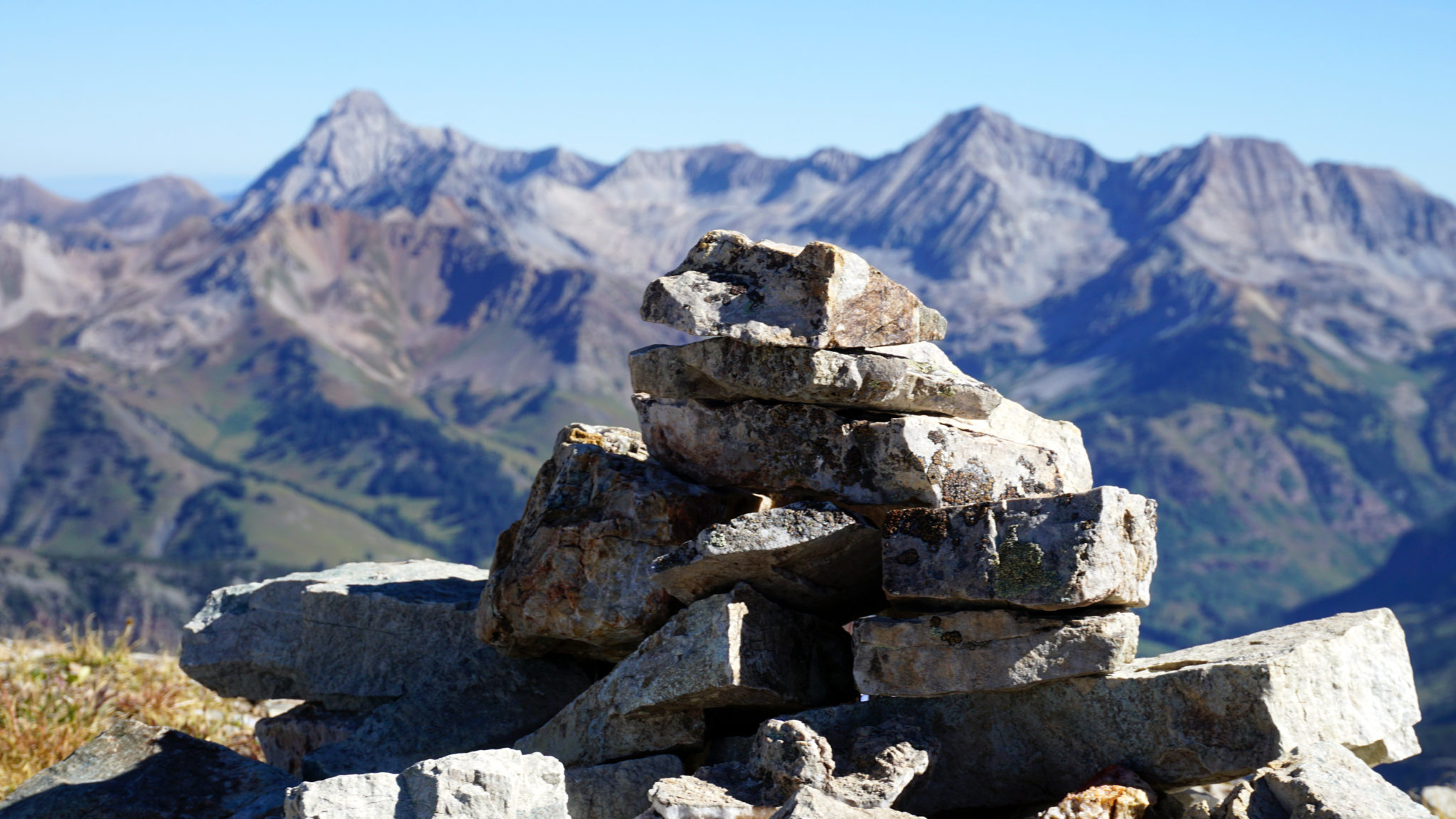
Treasury Mountain’s summit at 13,462 ft. What a perfect September day to be up high.
From Treasury’s summit the descent down to Yule Pass went quickly thanks to tons of scree skiing opportunities and generally straightforward terrain. From the pass it was an easy hike out back to Thompson Flat and the trailhead not long after. The first glimpses of color changes up high could be seen all along my schlep out. Fall isn’t far away now.
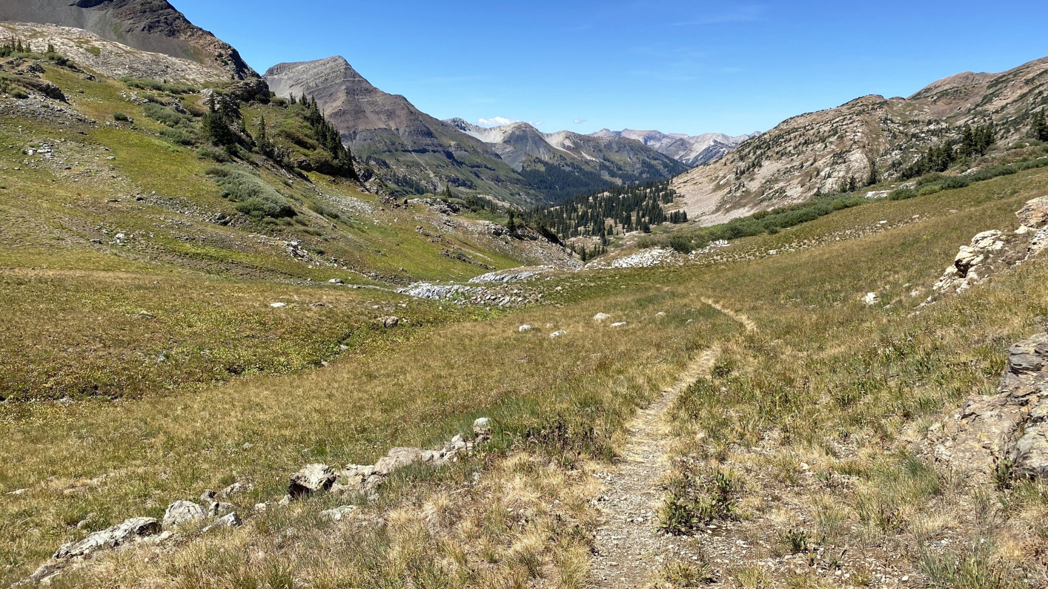
Yule Pass Trail and the road home.
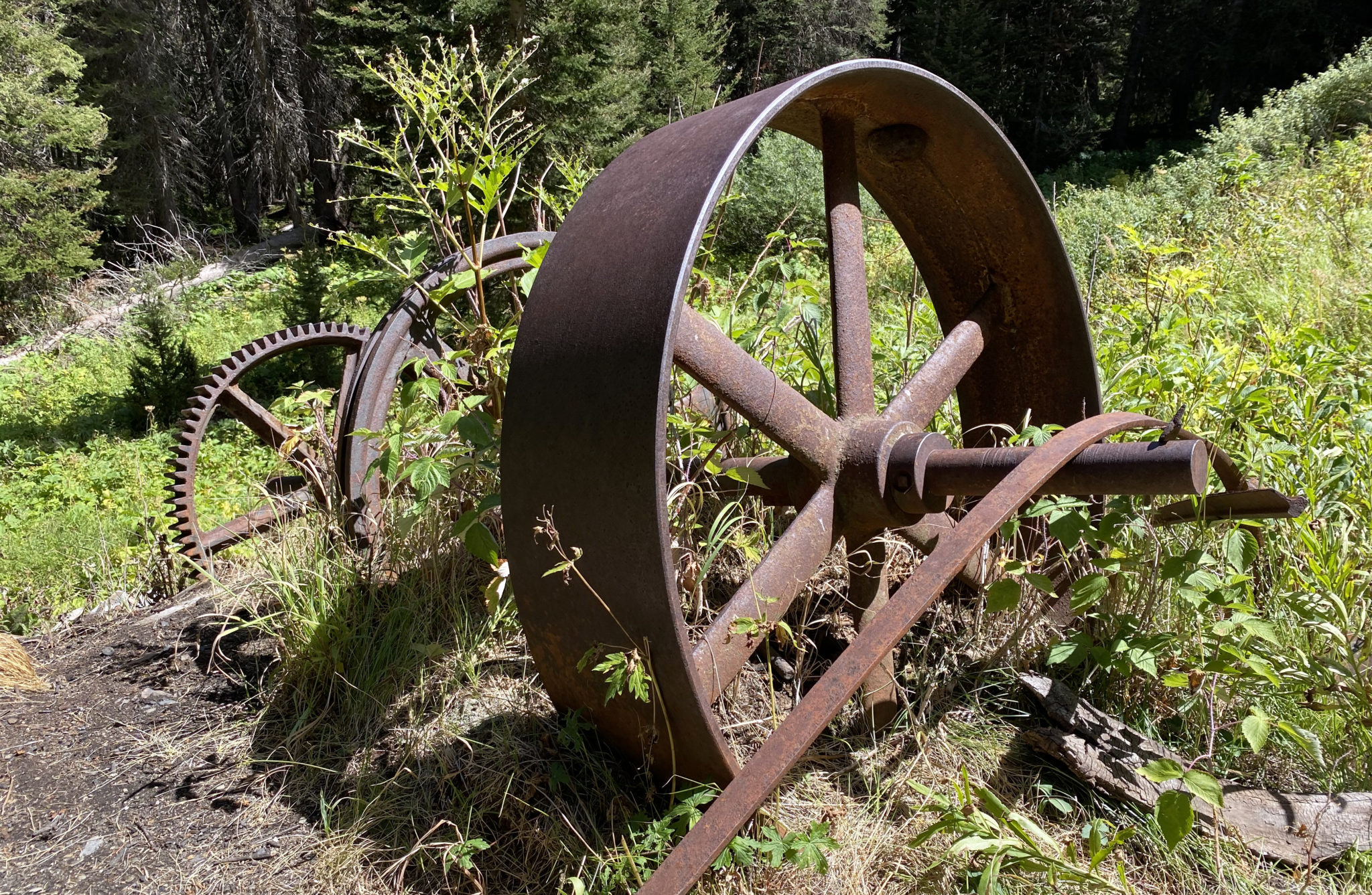
Another mining relic seen on my way out of Yule Creek.
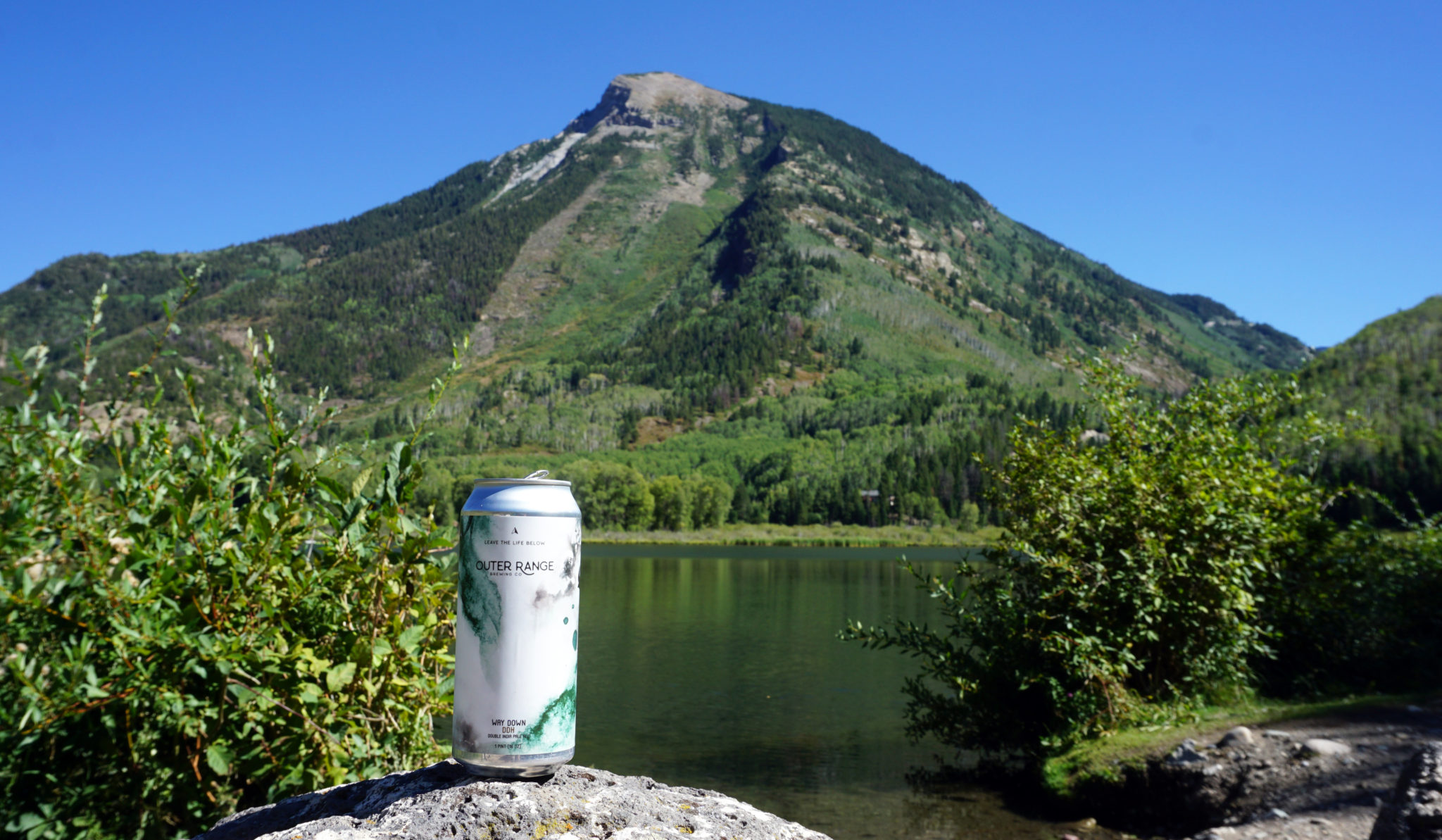
A dip and a brew back at Beaver Lake in Marble. Click to enlarge.
And lastly, the Relive video of the day based off my GPX track (stats came out to 12.8 miles and 7,080 ft):
Here’s to fall and whatever else the last breaths of summer have in store…
Nice, Benny! I never go to the Elks for 13ers and I don’t know why. Maybe I just assume they’re all giant choss piles best avoided. But clearly that’s not true, as evidenced by the report. Cool little obscure area. Although, that de-proach on the re-live track looks fairly long and heinous. Yikes.
Right, there are definitely some loose ones! Nothing worse than in many areas of the San Juans though IMO. Some cool little corners tucked away back there in the Elks.
Looks like a beautiful day up high. That ridge connection does not look pretty. Makes me think of the “traverse” between Grizzly B and V10. Sigh.
It’s not too bad really. And the cables that go up the slope on Treasury are cool to see. For sure the worst part of the whole thing is the ascent from the very bottom of the valley to Treasure’s summit. But overall I think it makes more sense than driving all the way around and approaching from the CB side.
Hi Ben,
I am going to attempt this route in the next few weeks. Would you be able to email me your GPX file for this?
Cheers,
Cody