The beautiful mountains above Boulder, Colorado. Criss-crossing these peaks comprise the bulk of the famous Skyline Traverse.
- Peaks:
- South Boulder Peak (8,549′)
- Bear Peak (8,463′)
- Green Mountain (8,145′)
- Flagstaff Mountain (7,005′)
- Mt. Sanitas (6,863′)
- Route: Boulder Skyline Traverse (Via a loop from the Table Mesa King Soopers)
- Distance: 25.73 Miles
- Vertical Gain: 6,434 feet
- Time: 6:46
- Runners: Solo
- Date: 8/13/22
- Strava Track: https://www.strava.com/activities/7633244043
The Boulder Skyline Traverse Trail Run
The Skyline Traverse above Boulder, CO is about as iconic of a trail running route as they come. The route collects the five major peaks which sit above The People’s Republic: South Boulder Peak, Bear Peak, Green Mountain, Flagstaff Mountain, and Mt. Sanitas. These five mountains cover the entire breadth of the city. The route takes an obvious and natural course to link up the full set. When you combine the city-wide presence of these 5 peaks plus the A++ trail system in the county’s open space, it is an all-too natural link up for a complete tour-de-Boulder.
And of course, if you consider this area to be one of the top 5 meccas for trail running on the planet (which I certainly do), then the route’s iconic status is even more justified.
And that’s not to even mention the caliber of athletes who have run these trials. I’m hesitant to say too much more about the route from an overview perspective, partly because of the types of people who have done this thing. Whether they be Olympians or world champions, track stars or trail running legends, they have trodden over these trials. I’m not sure what input I have to offer in light of such greatness…
Instead, what you will find below are simply my own plodding reflections from an equally plodding trip up and down the skyline over Boulder.
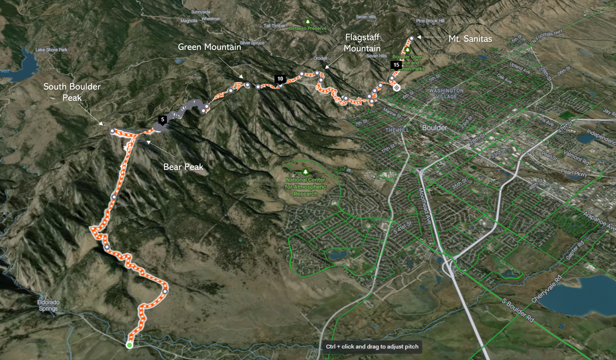
A 3D rendering of the complete, offical Skyline Traverse (click to enlarge). I added a slight variation to this map. I parked in town, starting and stopping from the Table Mesa King Soopers. While this added ~8 miles to the day, most of those were on easy side streets. More importantly, it made for a convenient loop back to my car.
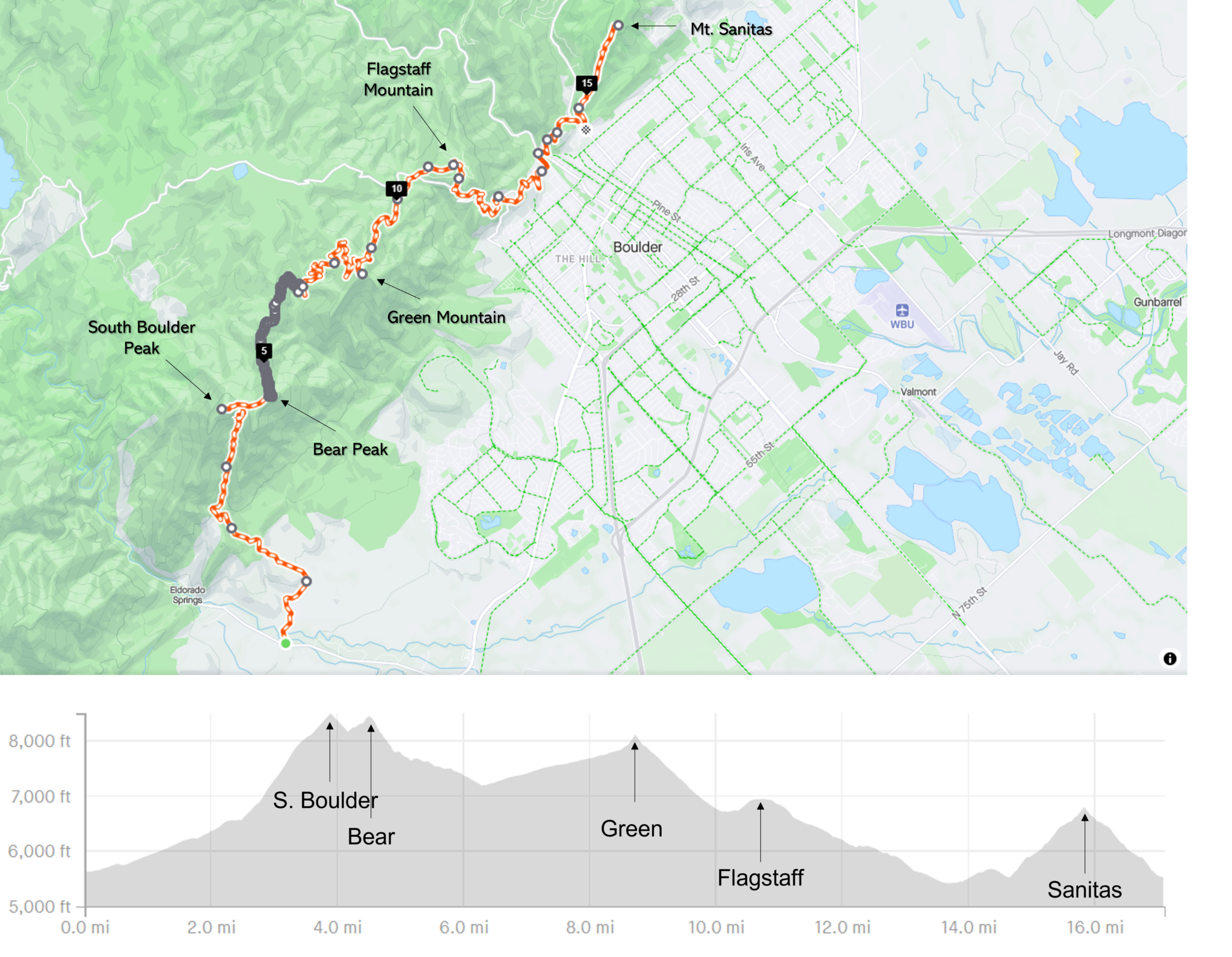
The same map of the route proper (I just really like maps…), but with the vertical profile and in a different style.
In terms of planning, the Skyline Traverse is about as well documented as they come, so there wasn’t much to prepare for. My only paltry variations were to:
- Pick a start point at the Table Mesa King Soopers in order to make the day a loop (the traditional route is a point to point. Or an out-and-back for the aforementioned Boulder legends).
- Make sure I had a map handy, as it can get confusing at a few spots thanks to the myriad trails in the Boulder Open space.
I parked and got rolling at 6:15, happy to enjoy a mile or so on city streets before committing to single-track for hours to come.
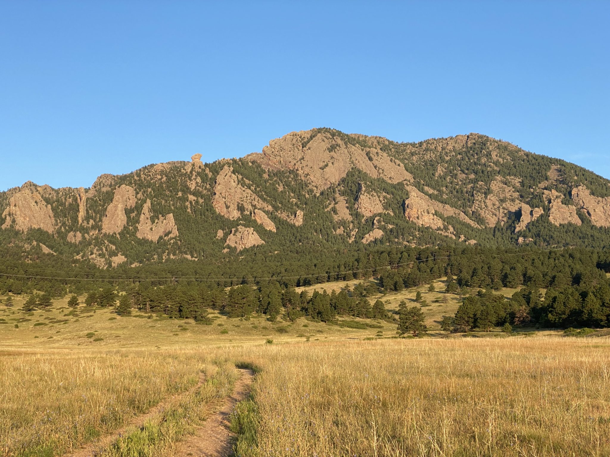
Finally hitting some dirt right after sunrise. It was a nice morning, but I could tell already that the heat was inbound.
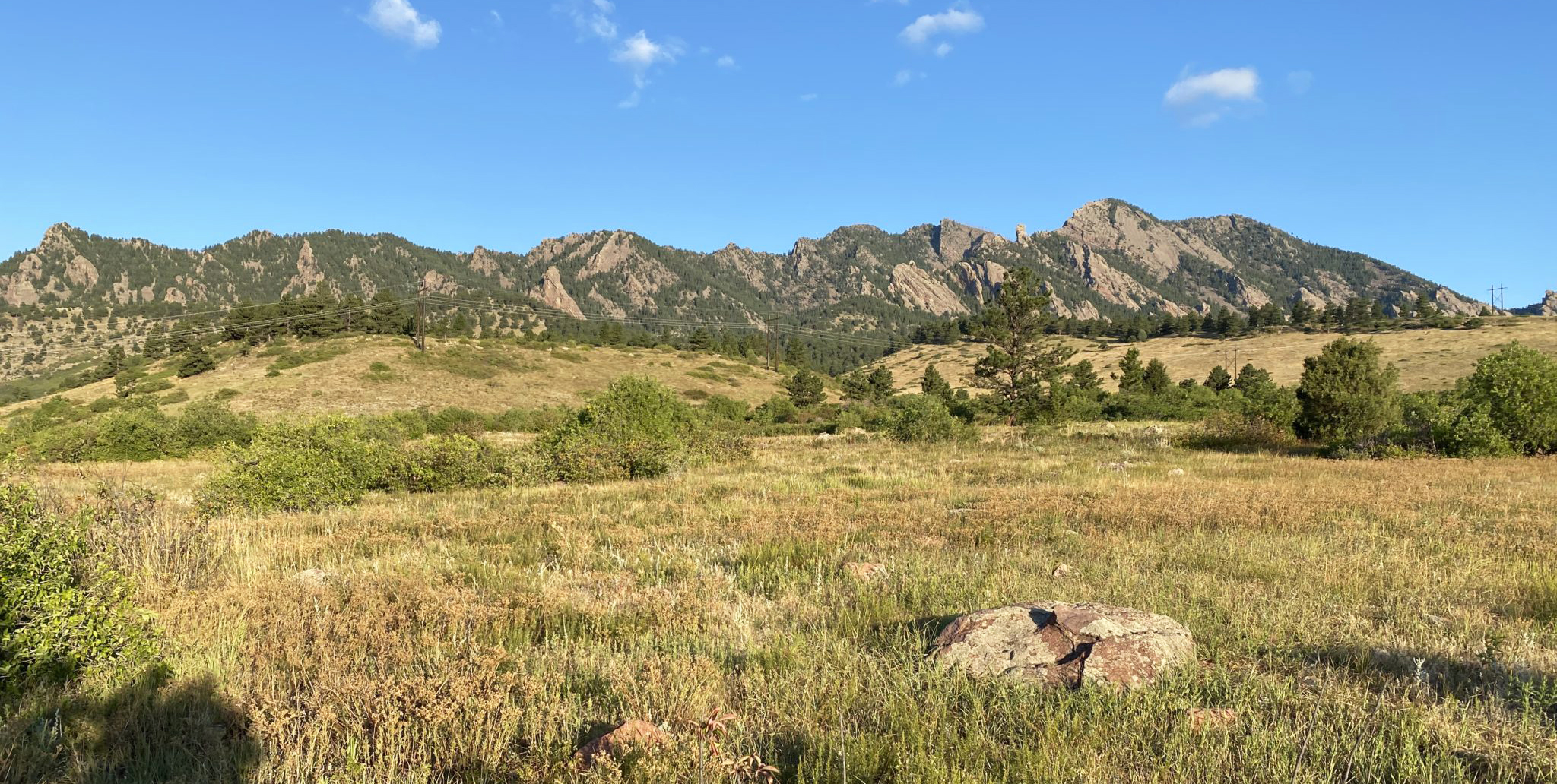
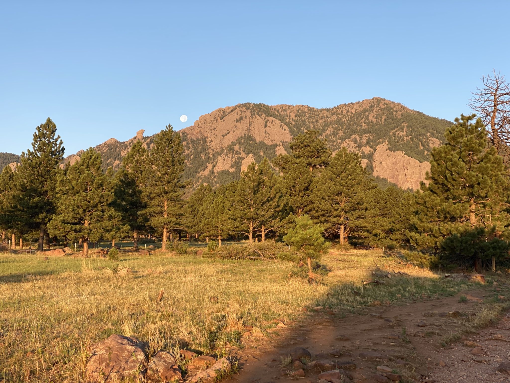
My first objective was to jog over to the South Mesa Trailhead – the official start of the route. This conveniently doubled as a nice spot for a pit-stop as well. Getting there offered some nice, gentle trials to start the day with classic Flatiron views.
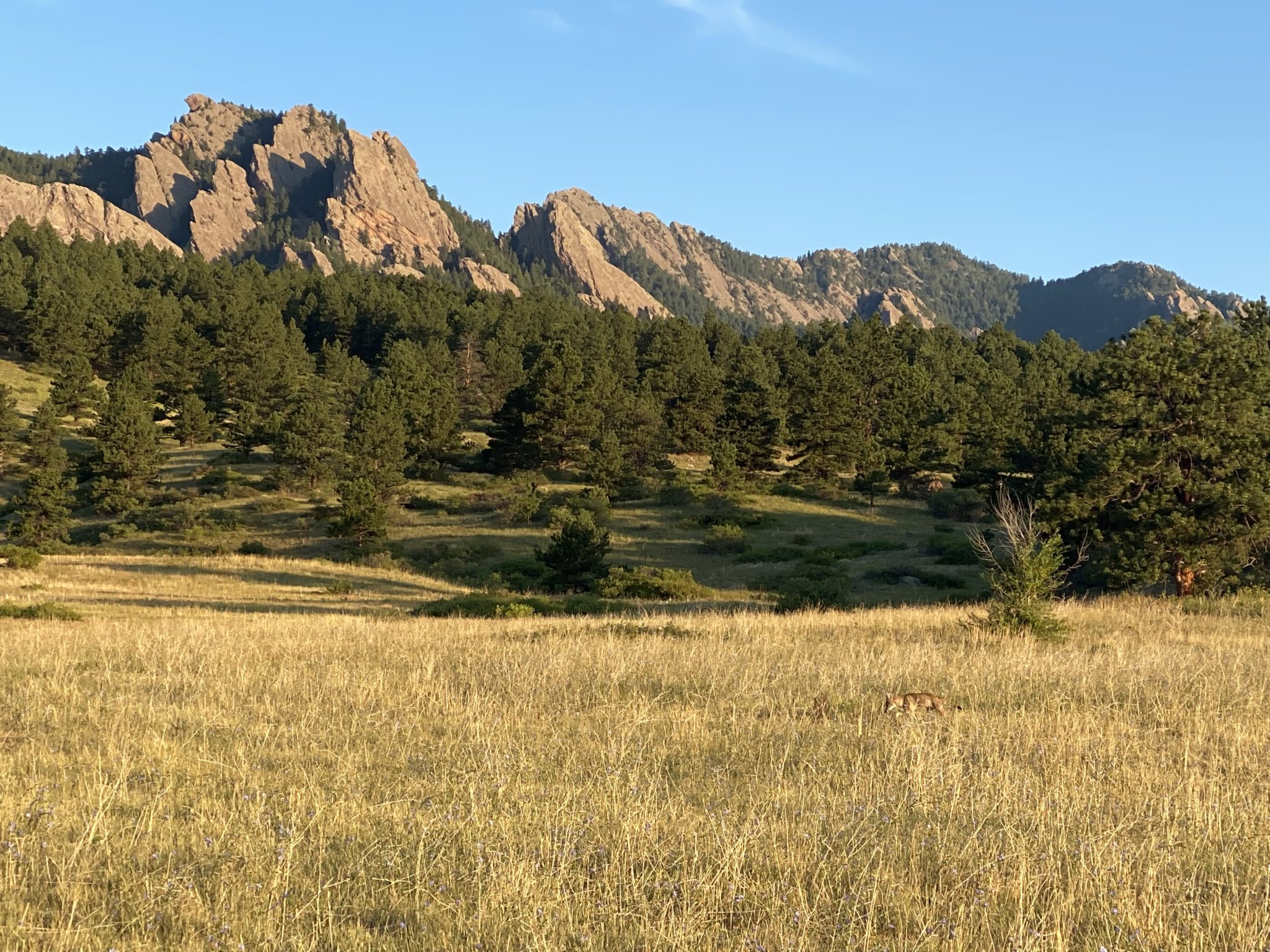
Coyote peeping for the boys back home.
As I departed the South Mesa Trailhead, I knew the biggest effort of the day lie straight ahead. Brian and I had actually attempted most of this route a few years prior, so I all too keenly remembered the mile stretch up Shadow Canyon that gains a ton of vert. But I knew there would be no attempt at actually running this section. The 0.1% of top humans who live in Boulder can probably sprint the whole thing, but that is most definitely not yours truly. So, I jogged up to the start of the canyon and then prepped to just fast-hike to the first summit of the day: South Boulder Peak.
Finally made it to the end of the tough Shadow Canyon climb – the saddle linking South Boulder and Bear Peaks. Unlike when we did this section the previous time (April 2020), I was thankful to have not been harassed by multiple groups of self-righteous Boulderites admonishing me for not keeping my buff above my mouth at all times. I’m all for COVID safety & respect, but good lord did some people take it to extremes in those early days. Oh how the world changes quickly…
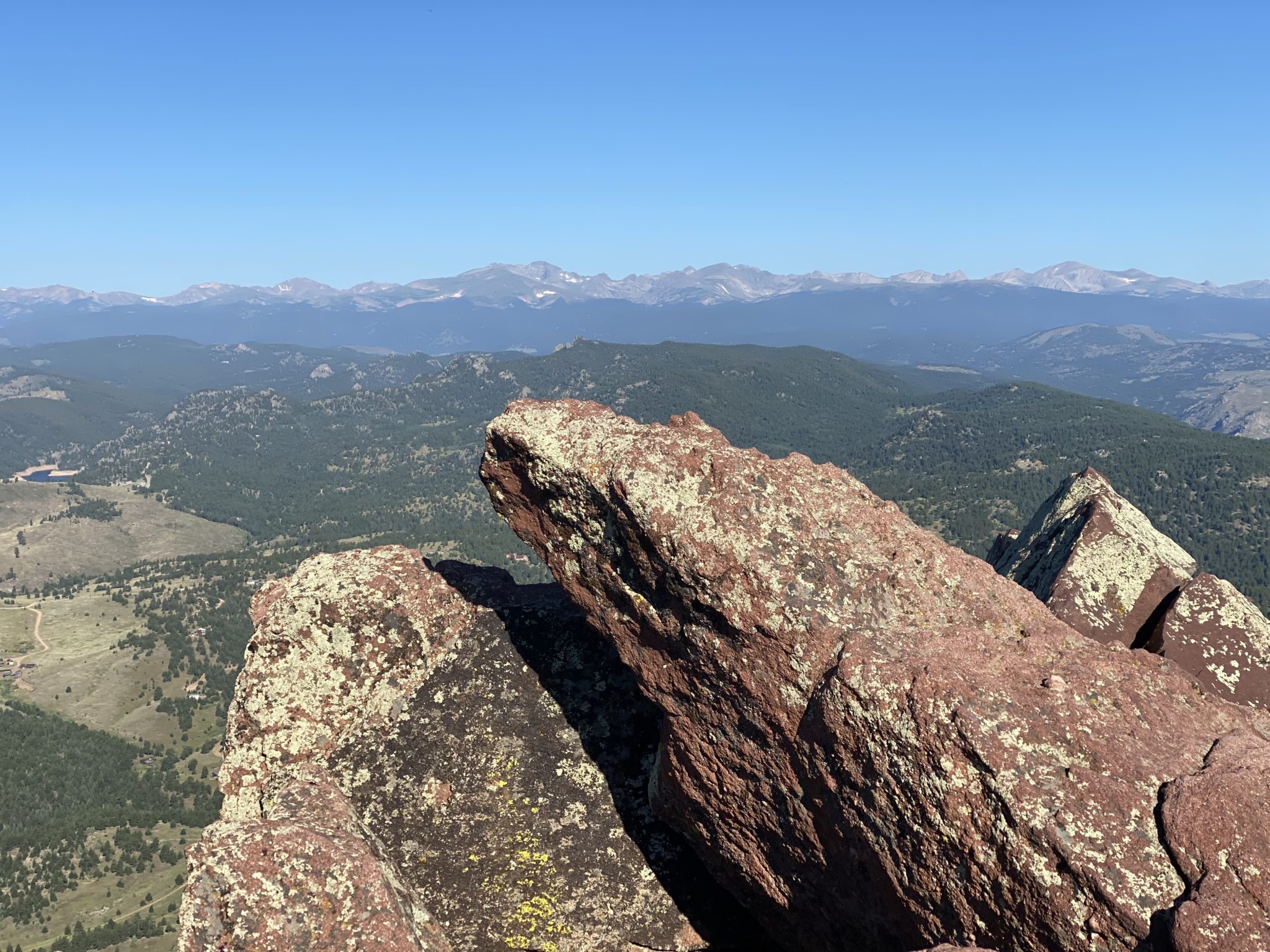
Atop South Boulder Peak looking towards the IPW, enjoying the beautiful morning.
I topped out on summit #1 – South Boulder Peak – easily enough and took the first break of the day. I took a moment to marvel at just how high this peak is relative to the city. Then I quickly jogged over towards Bear. I dodged a few different parties of climbers, giving a cautious thought a-la Dave Mackey as I scrambled by on the summit pitch. The top was too crowded for much enjoyment. So, I snapped a quick pic and made my way towards the next objective: the long descent and then climb back up to Green Mountain.
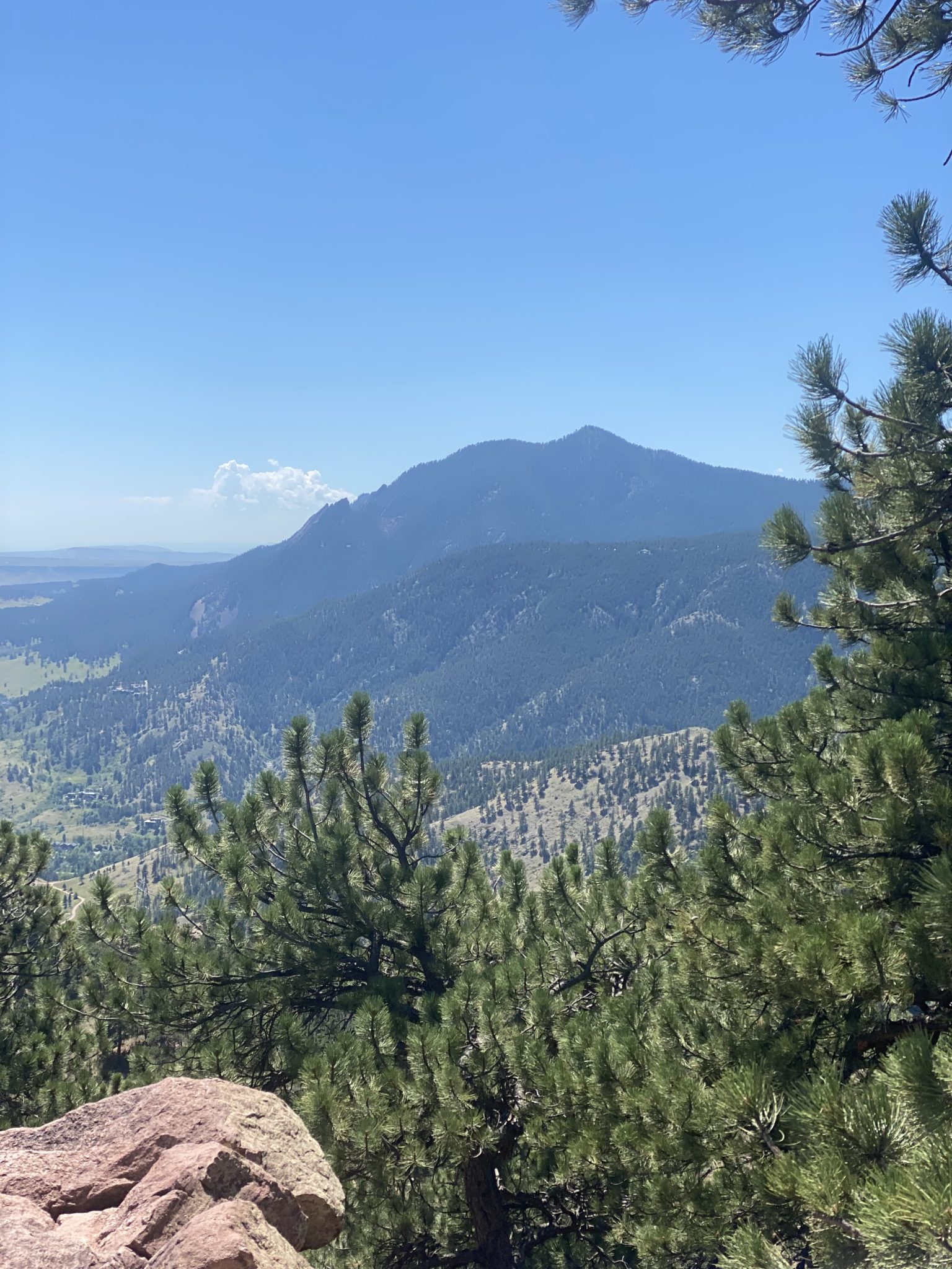
Looking over at South Boulder Peak and Green Mountain to come.
Green Mountain in the far distance, the third objective for the day.
Aside from the first few steep switchbacks coming off of Bear, the section to Green is easily one of the most runnable of the whole route. My only problem was water. Or, lack thereof. I had underestimated just how much I drank on the way up the first two peaks. I was running low.
As such, I dialed it back a bit and just enjoyed a slow roll through all the lovely pines behind town. A couple of bad asses passed me along the way (keeping comments to themselves today), but I didn’t care. If there’s one place in the world to NOT compare yourself to other humans (for good or ill), its Boulder.
I eventually made it up Green, flipping around quickly again thanks to the crowds. I was starting to get really parched at this point. I kicked myself for it, remembering Brian had this exact same issue last time. Shoulda learned. Oh well. Hopefully there would be water on top of Flagstaff (summit #4).
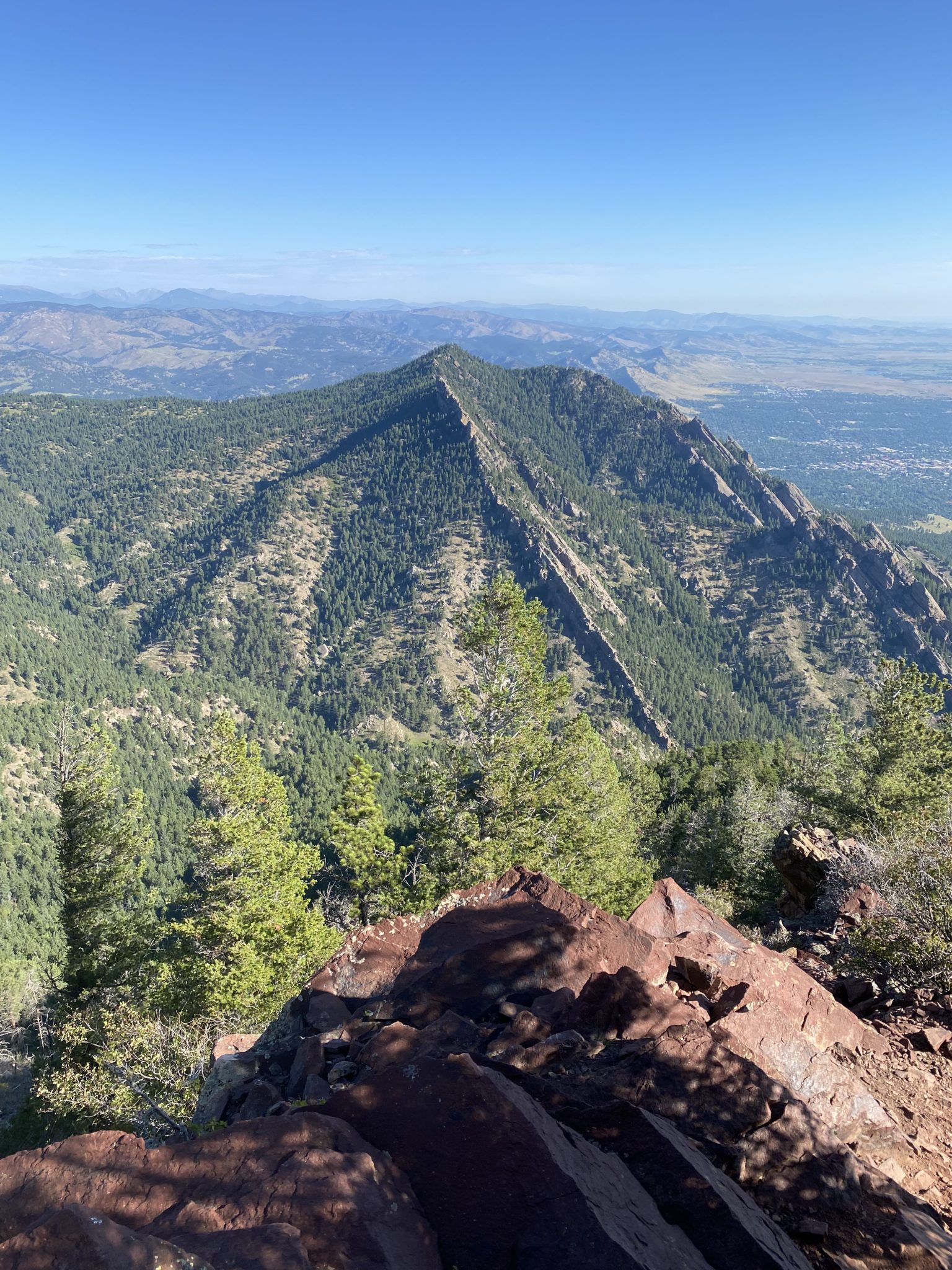
Looking back on Green Mountain near the top of Flagstaff.
Water was found in abundance at the Flagstaff Mountain Nature Center. I’d like to say a personal thank you to the very kind ranger there for accommodating me. Not to mention helping me clean up the big mess I made when I couldn’t turn off the water jug tap…
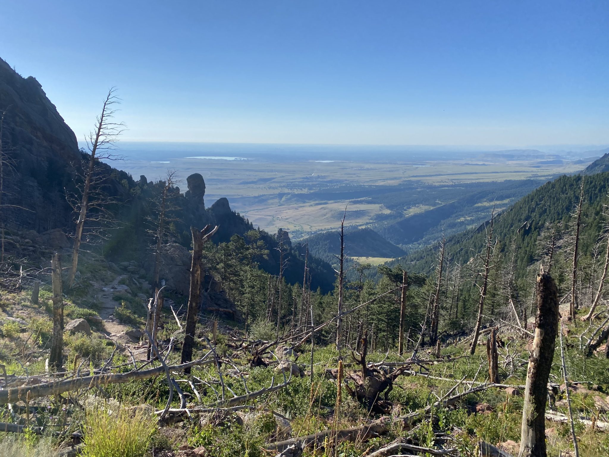
Refilled and refreshed, it was time now for more descending through the relatively chaotic scenes on the front side of Flagstaff. I was suddenly on the lookout for bikers, hikers, climbers, cars, rattlesnakes, and rogue CU coeds out for the morning. But thankfully this section has really great views (both of town and of the coeds…)
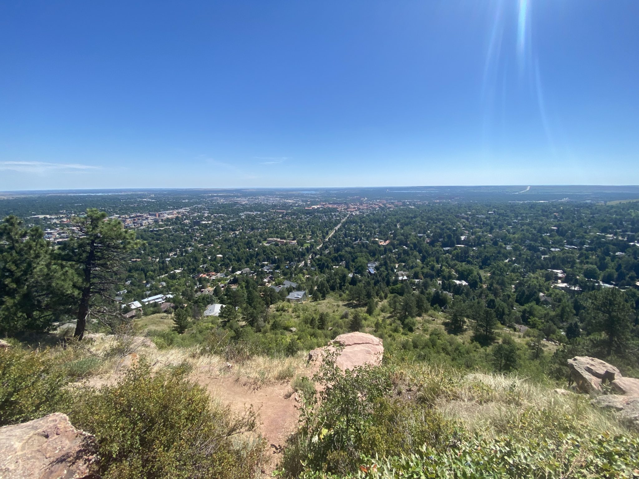
Panorama point above the city. If you look really closely you can see a losing scoreboard for the CU football team.
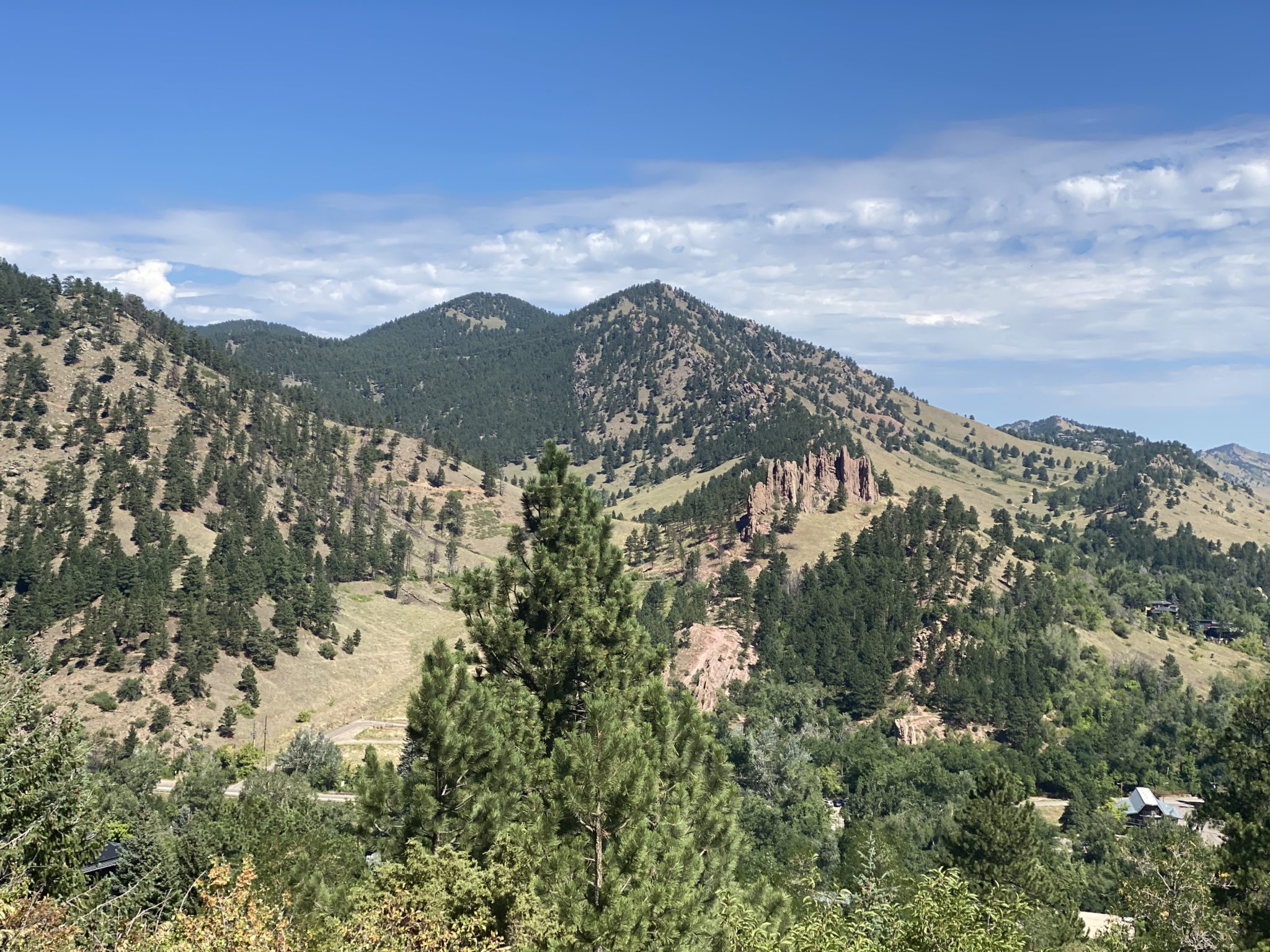
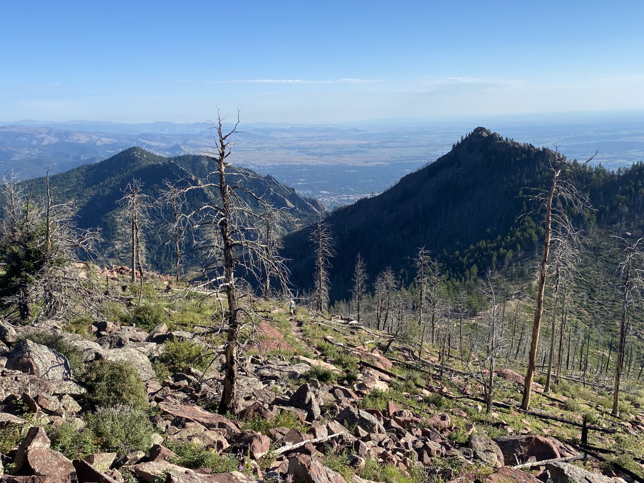
Mt. Sanitas finally comes into view. I really liked the mini-section to get over there. The pinnacles are super cool, as is the extensive trail network packed into such a small area.
Last time Brian and I did this route we quit after reaching Eben G. Fine park, skipping Sanitas for the comfort of a waiting car instead. Brian wasn’t feeling super well that day, largely thanks to the lack of water. Today was my turn to feel the exact same. And for the exact same reason. Although I felt relatively recovered with my hydration by now, it’s still hard to catch back up fully. Plus is was getting too damn hot.
Nevertheless, I shuffled into the Sanitas trailhead and prepared to tackle the final “little” remaining mountain.
The effort did not go well. While Sanitas is a super cool peak, at that time of day after the effort already spent + feeling dehydrated in the heat was not so fun. In fact, the whole up an down was basically one big kick in the dick. I really slowed on the ascent, dealing with cramps that had suddenly come on. Ugh.
Thankfully, I had some help along the way, again in the form of good Samaritans. One father and daughter were super helpful for the sunscreen they provided (although, I think they thought it disgusting when they saw how hard it was to rub into the sweat all over my arms, which it totally was). And another guy offered me a new energy bar he was trying to promote out on the trails. Didn’t have to ask me twice.
Anyway, ass thoroughly kicked, I finally made it up and down with a few shade breaks along the way.
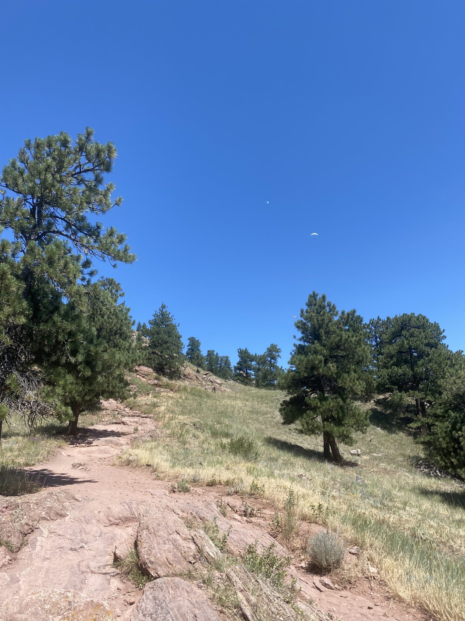
Classic steep, sun-exposed terrain up Sanitas. But the paragliders were cool. I really need to go climb this one again on its own. In my mind it’s equivalent to a 10 mile, 5,000′ climb. But I’m sure it’s actually much more pleasant than that.
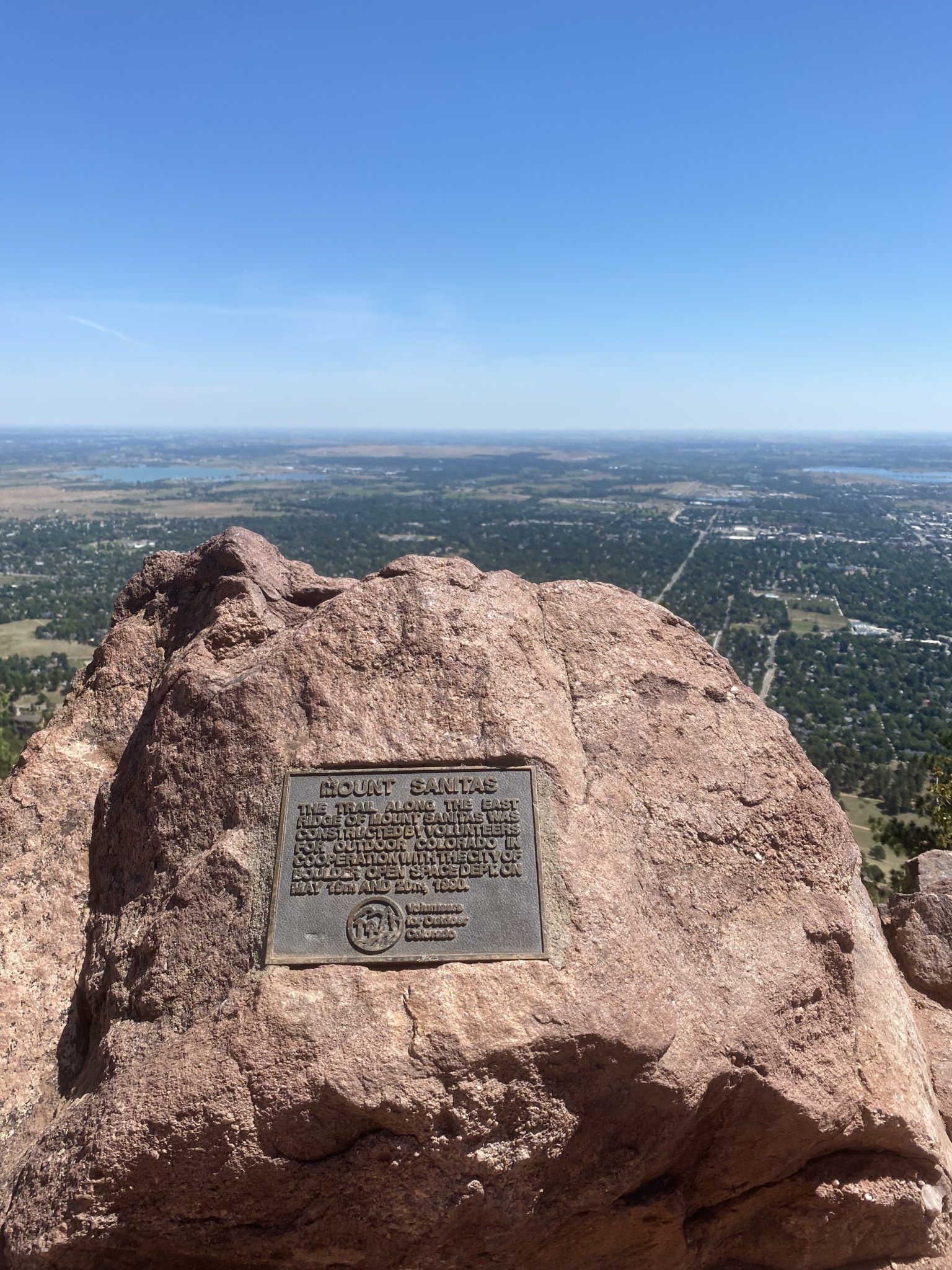
Topped out on the fifth, and final, summit of the day.
Looking back on (most) of the full day’s efforts.
Global warming was on in full-force by the time I got back to the Sanitas trailhead, so I was very thankful to escape into the shade of the nearby neighborhoods as I made my way down to Pearl Street. I actually made an initial decision to just quit and catch a bus. But as I got more time on streets and not single track, I recovered nicely. Not wanting to figure out the right bus to take and/or deal with a slew of homeless Boulder vagrants and day drinking 21 year old’s, I decided to just trudge back through campus and to my car instead. I am always amazed at how much faster road running is than trails anyway, so I was actually able to cover the ground well enough.
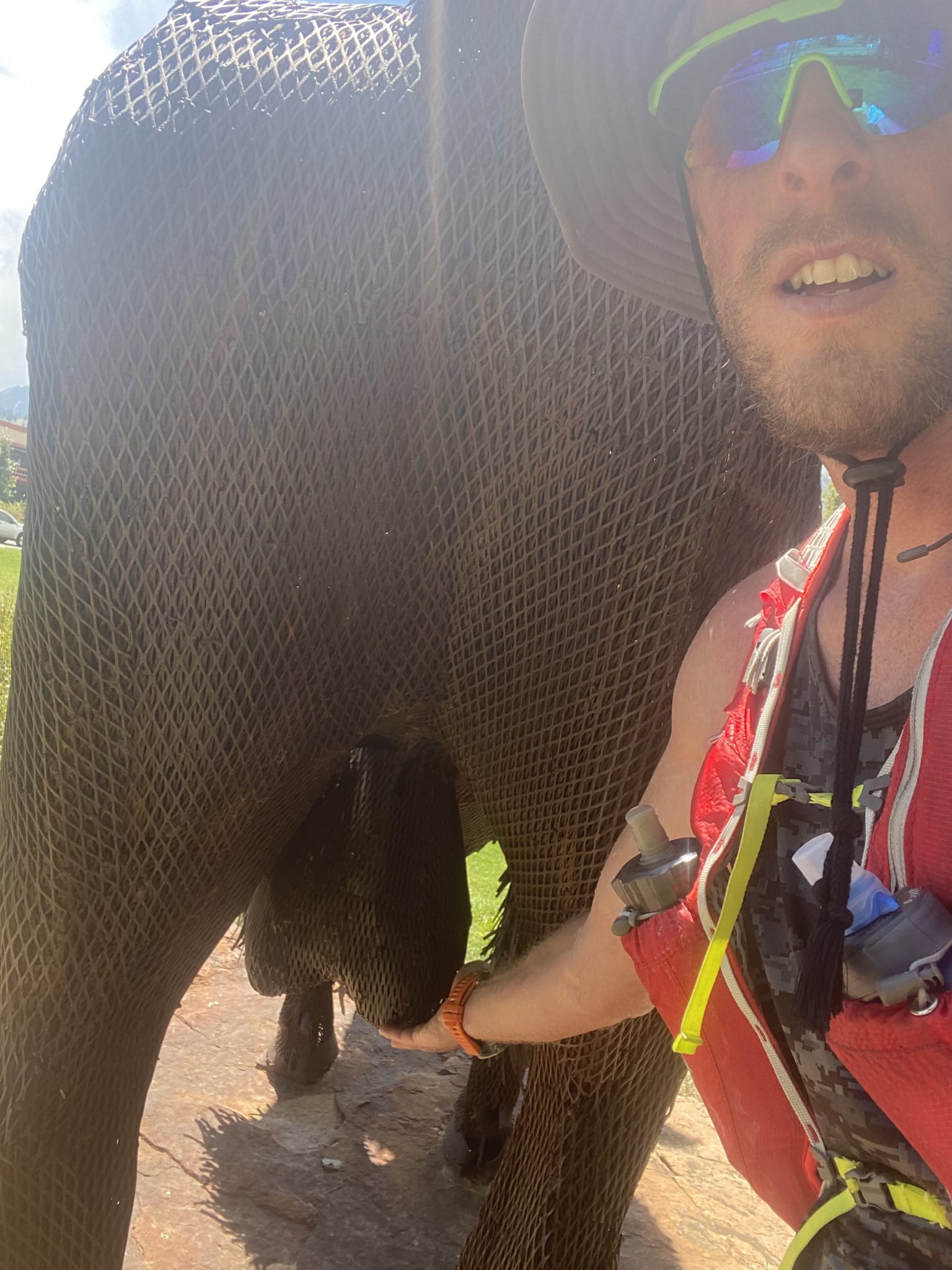
Had to stop by Ralphie and give a lil rub for good luck.
By the time I reached my car I was proud of my effort. I was also essentially dead. The heat of the day had finally set in in full force. I popped my trunk and laid in the back for a solid 10 minutes waiting for my heart rate to go down. I couldn’t really move or my legs would cramp up. I hadn’t felt this unhealthy since living in a fraternity house in Boulder for 3 years.
After panting and avoiding freaking out the nearby teenagers with screams from cramping legs for 10 minutes, I finally arose and shuffled into King Soopers. The AC was a godsend. I contemplated using one of the little electric carts, but thought better of it. Instead I waddled and grabbed a hoard of recovery treats, which I promptly crushed in the parking lot with the AC in my car turned on full blast.
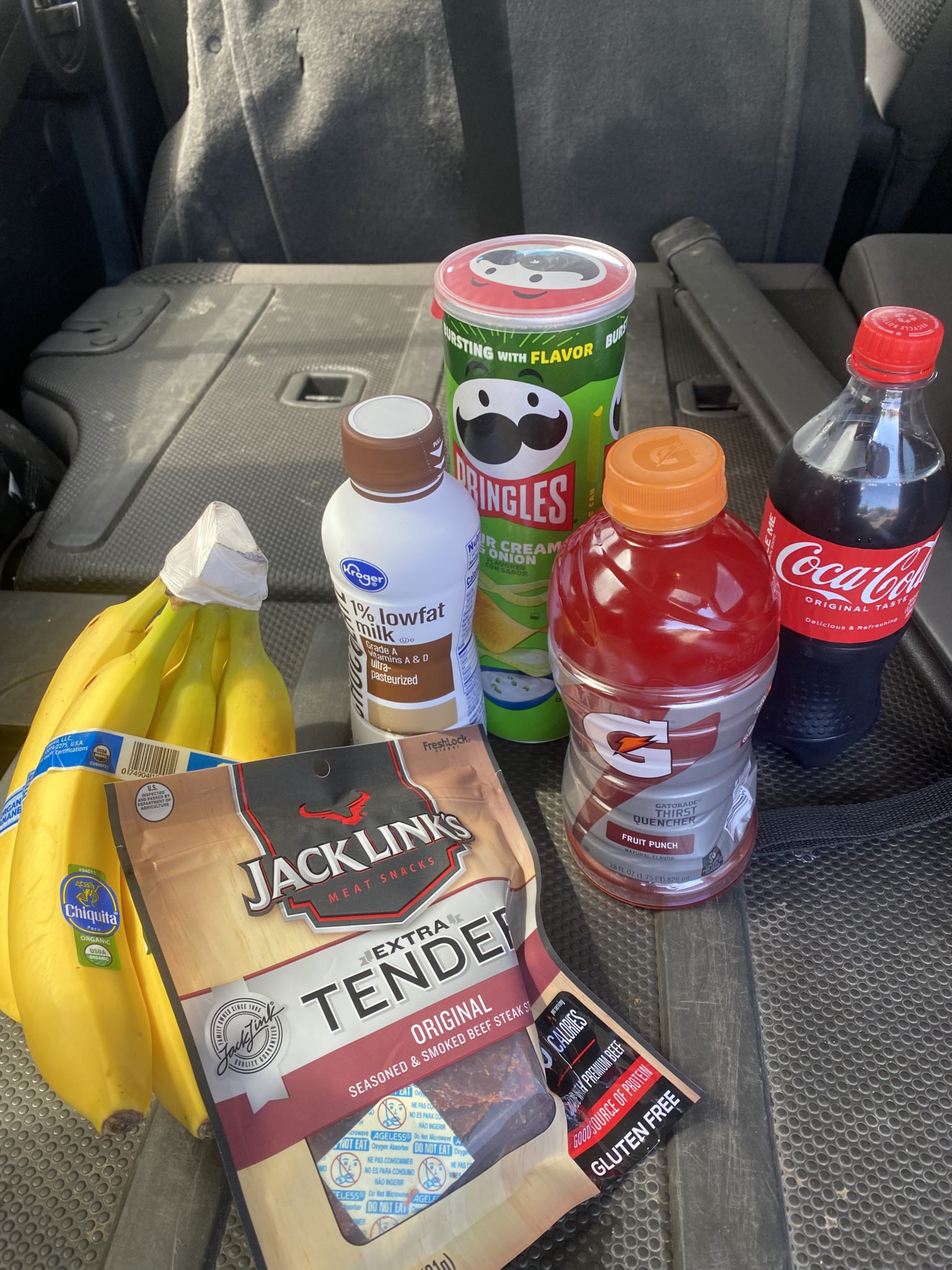
Recovery set of champions.
The end of the day whooped my butt, but looking back now, it was all par for the course. I think I actually felt pretty good for most of the day, but dehydration and heat can really zap you. There’s a lesson there.
There’s also a lesson about the people of Boulder from this outing. Here are three reflections I had about them (since I’ve been gone for a while). In that city, there are SO many of each of the following types of people:
- Homeless vagrants.
- Laughable hippies.
- Unbelievably attractive / capable humans.
Do with this information what you will.
Thanks for reading if you did. Happy running!
BELOW: Full Relive account of the day’s efforts.
This was a great read, but I feel like you missed an opportunity to bestow the virtues of the bucket hat and how said hat clearly saved your life.
Haha. Indeed. Shoulda credited it!
Quick question – when you say “ Water was found in abundance at the Lookout Mountain Nature Center.” – I’m confused. Lookout Mountain and the Lookout Mountain Nature Center are in Golden, not Boulder. What’s up with that?
Whoops that was a typo. Updated to say “Flagstaff Mountain Nature Center.”