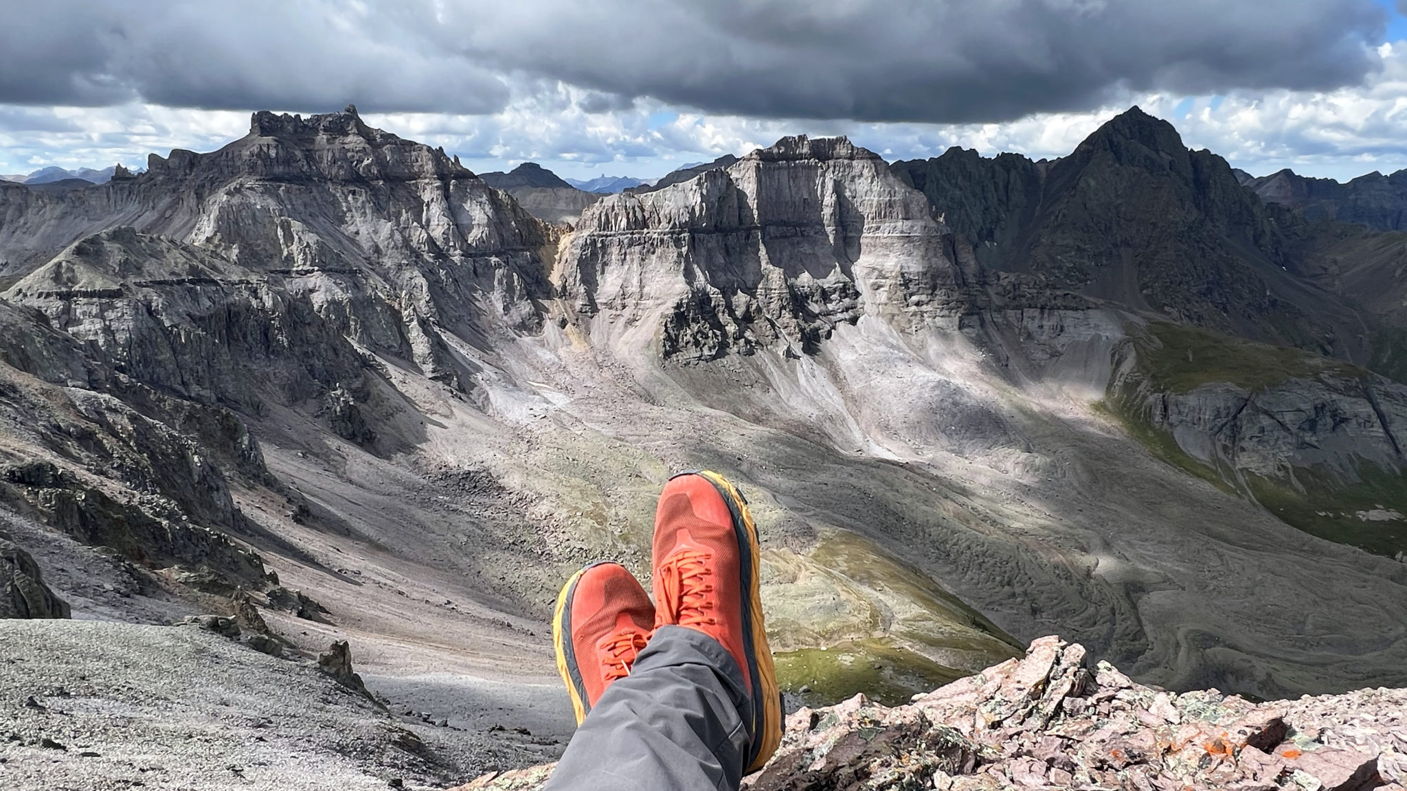
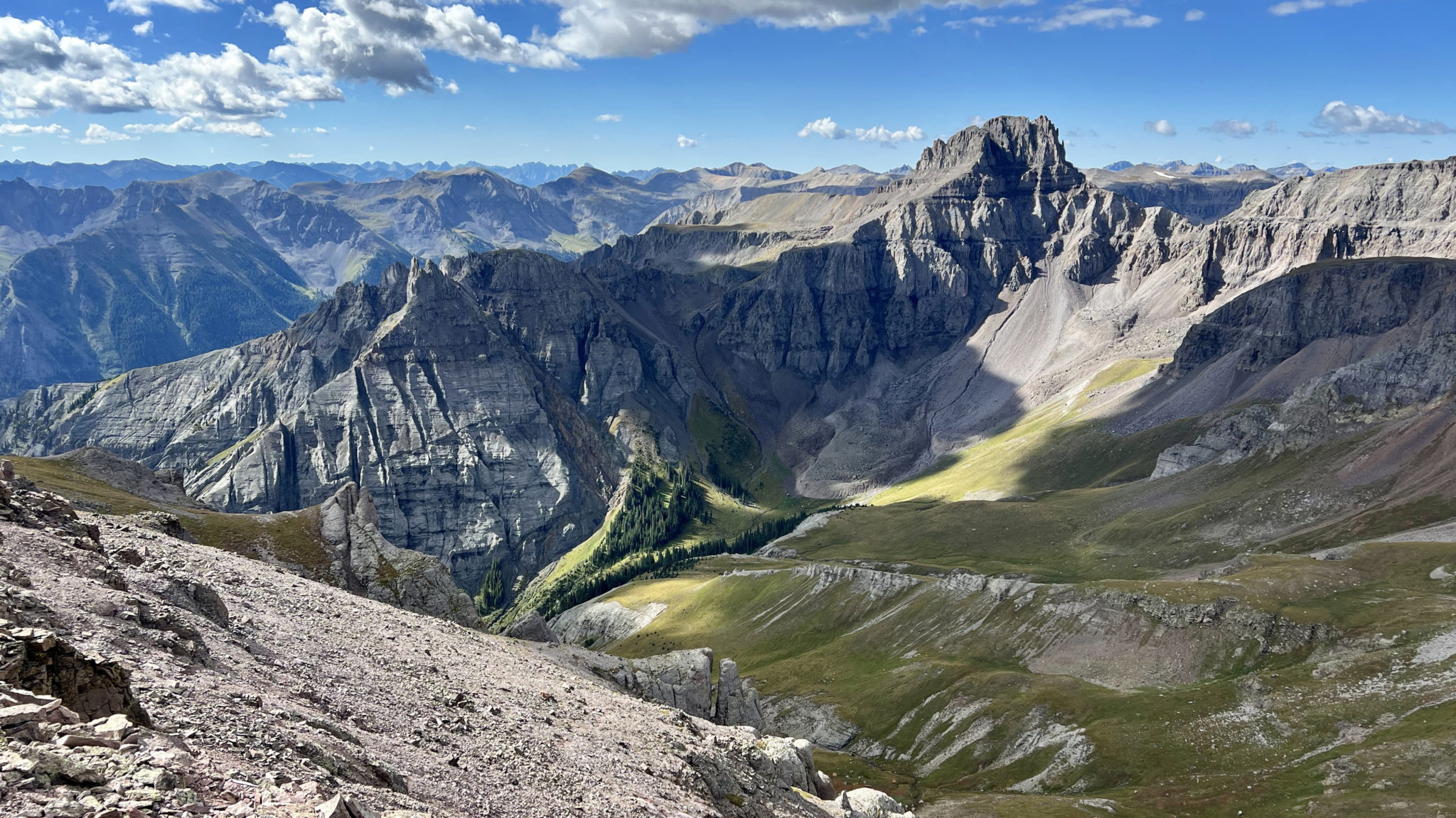
On the summit of Mt. Ridgway (13,468 ft) looking southwest, August 28th. Click to enlarge.
Between spring skiing, the summer race season and spending a lot more time on the mountain bike this year, I had somehow not hit a single new thirteener dating all the way back to October of last year. So now being into late-August it was time to finally get down to the San Juans and hike a few peaks.
As Steve needed to be in Durango the following evening, I drove down and met him for dinner in Ridgway before we motored over to the Thistledown Campground above Ouray. The goal for the following morning was to head up the Weehawken Creek drainage and check out Mt. Ridgway and Whitehouse Mountain, a pair of peaks on the eastern end of the Dallas Divide that had long been on the list.
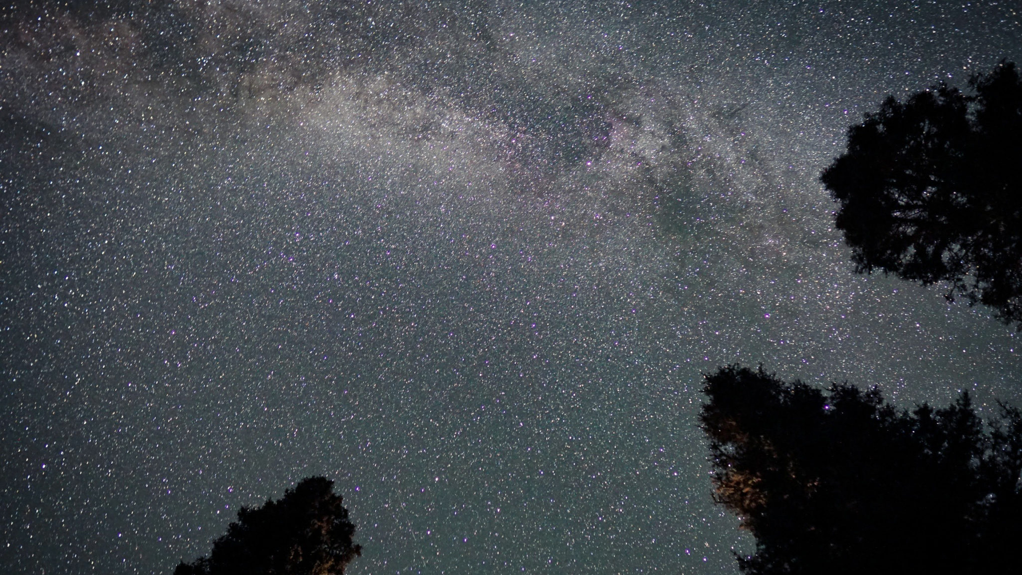
It was the evening of the new moon at Thistledown, and the stars were out in full force.
I had fond memories of skiing/schwacking out of Weehawken Creek after Brian and I’s run down the north couloir of Potosi back in April of 2013. And when I say “fond” memories, I don’t necessarily mean ones I’d ever like to repeat. But I was intrigued to visit this reclusive basin again in summer and so was Steve, as I had built it up in his head enough by this point as a wild, unforgiving place the likes of which are tough to beat anywhere in the state of Colorado.
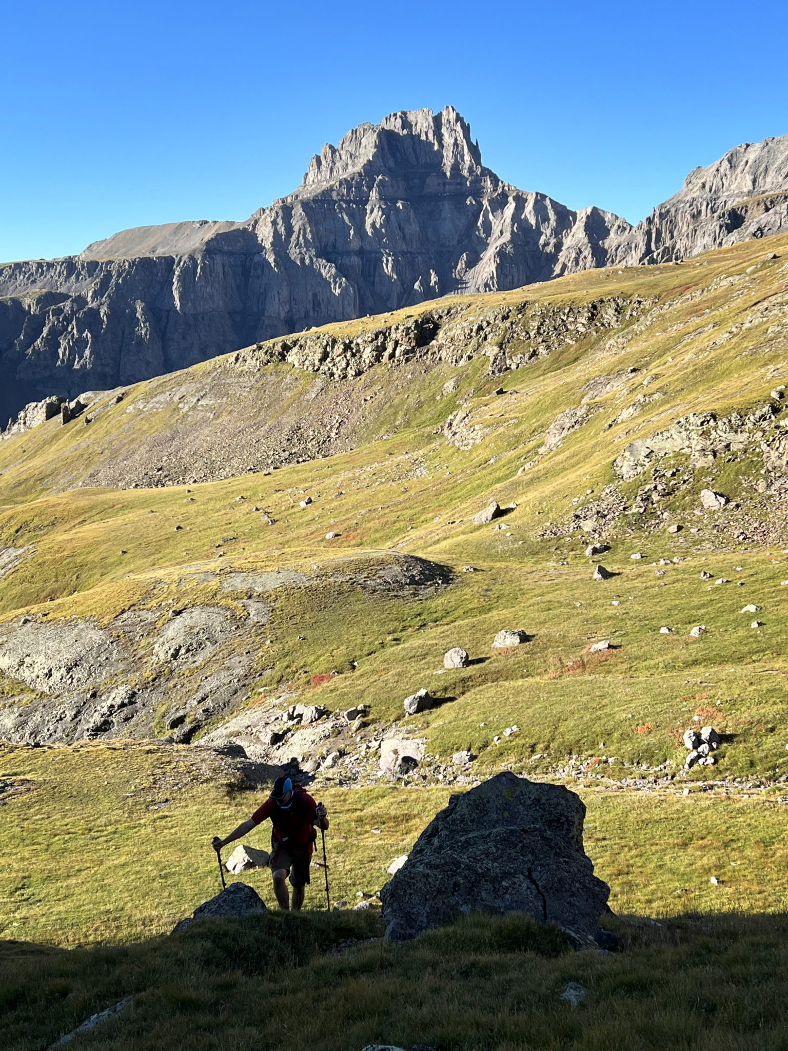
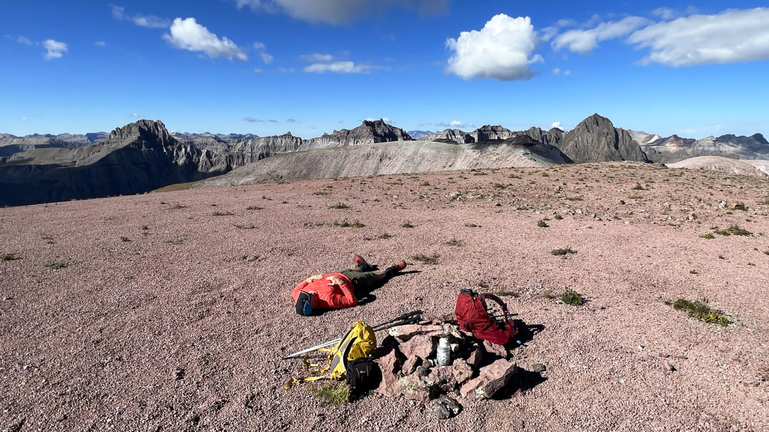
Steve in the basin below the Ridgway/Whitehouse saddle. Potosi Peak (in back) dominated the skyline for most of the day.
That reputation was quickly legitimized after we left the steep approach trail and made our way up what we thought was the correct mini-drainage coming down off Mt. Ridgway. But then we soon found ourselves on a loose climb up wet slabs and eventually had to edge across an exposed ledge system to gain access to the gentle slopes below the Ridgway/Whitehouse saddle. Make one wrong move in Weehawken Creek and you’ll likely pay for it.
Looking across at Potosi Peak from a higher position with Weehawken Creek down below. Click to enlarge.
But we worked it out and cruised on up to the saddle, then ascended a loose gully before arriving on the broad, flat summit of Whitehouse Mountain at 13,492 ft.
Hanging out on top of Whitehouse.
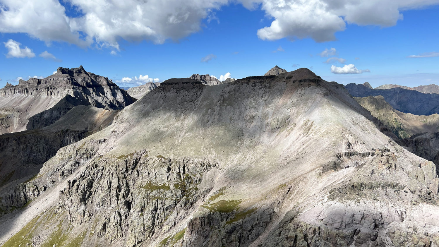
Mt. Ridgway across the way.
From Whitehouse it was a pretty easy descent back down to the saddle and then a short climb up to the summit of Ridgway on dinner plate rock. At this point we were hustling as dark clouds were already building throughout the area by 11am. I can’t imagine this summer’s monsoon cycle has been very conducive for long, alpine ridge runs.
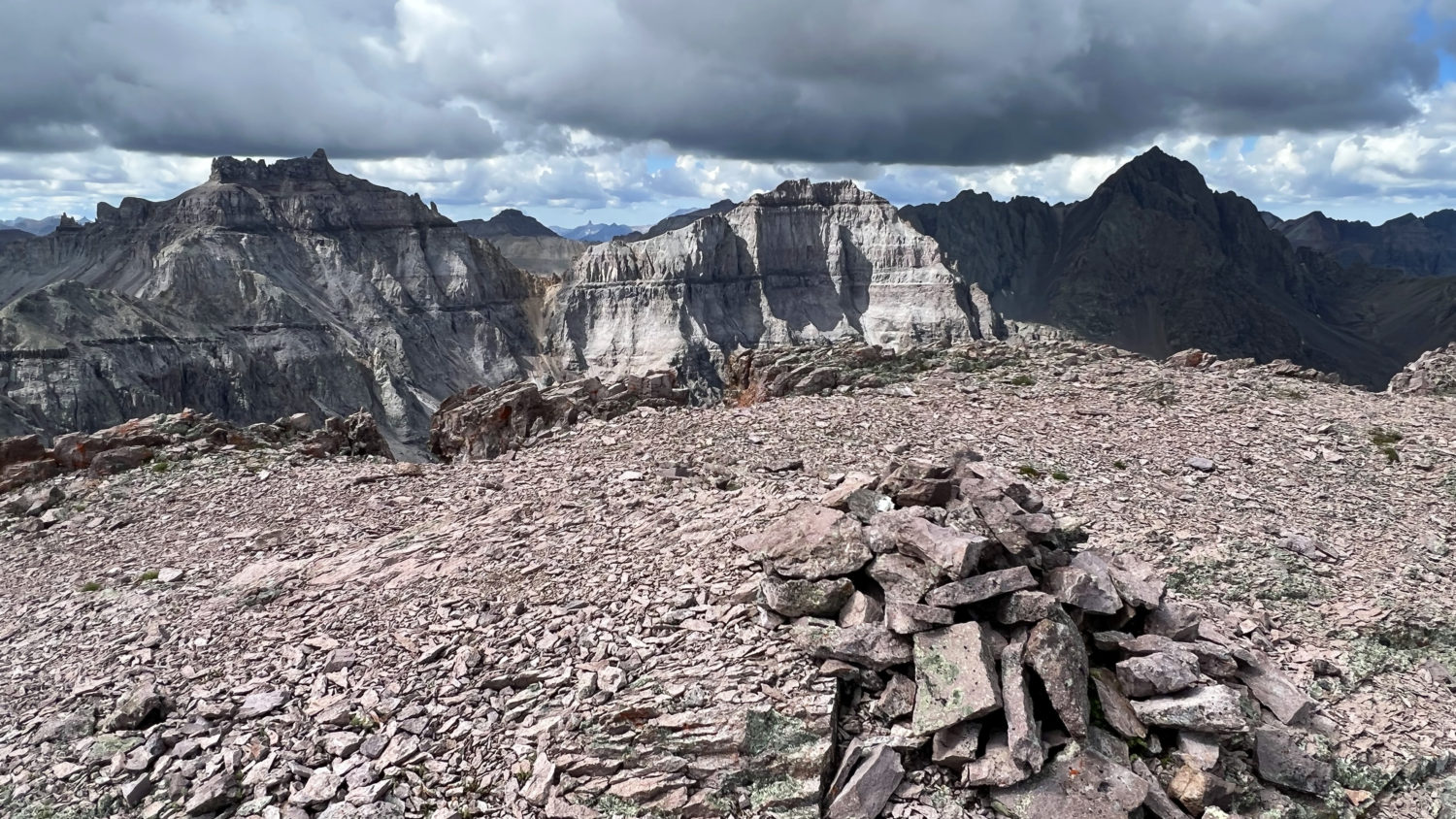
Mt. Ridgway’s summit cairn.
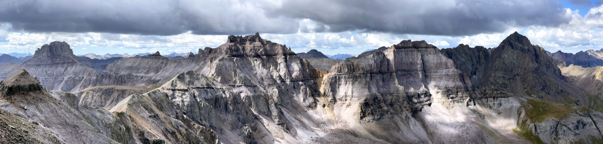
And a pano of the high peaks of the Dallas Divide to the southwest. Left to right that’s Potosi Peak, Coffee Pot, Teakettle, Cirque and Sneffels. Click to enlarge.
We left the summit of Ridgway just as the first crack of thunder could be heard to our north. It was easy to find a better route back down to the Weehawken Creek trail by simply traversing further southwest and descending into the upper-drainage closer to Potosi’s north face than the route we climbed up.
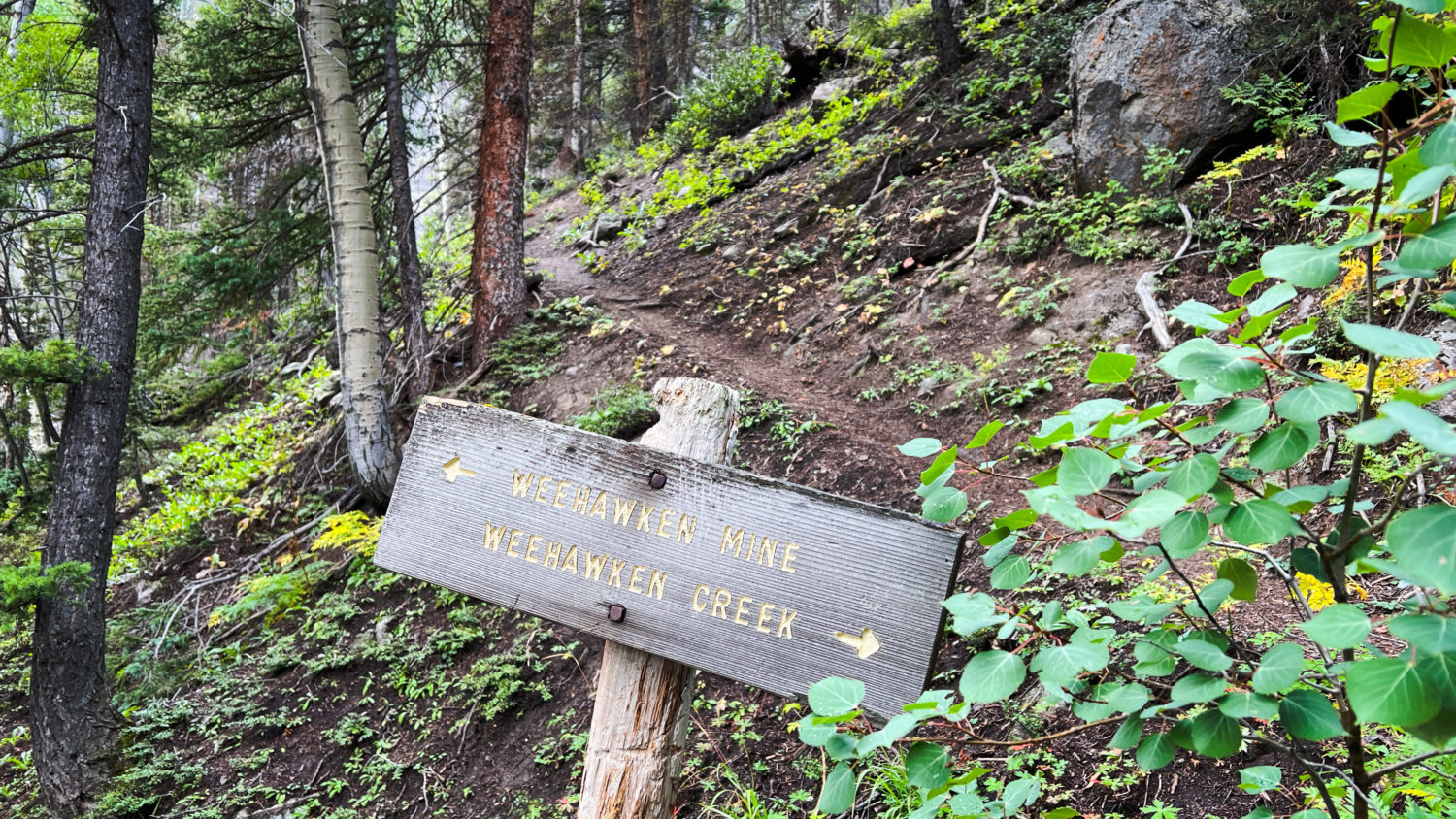
At the Weehawken Mine trail split on the way out.
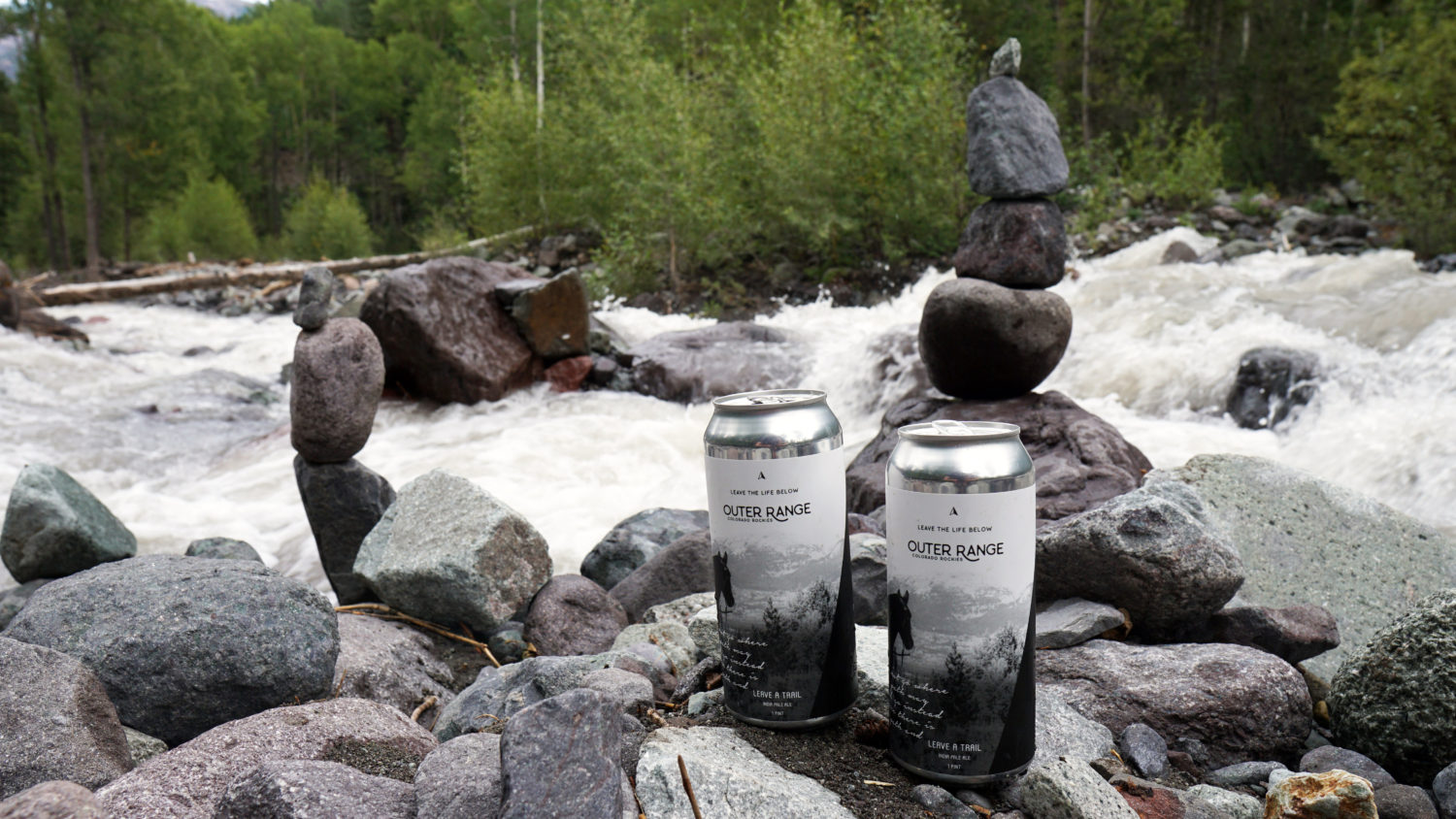
And back at camp enjoying a cold one before the drive home.
Felt good to top out on a few summits again. And it’s already September…
Nice account! For what was really not much more than a half day, it felt longer up there. That can happen when we follow an unverified line to trace a route on a map! The pano is great, as well as the pic of Potosi.
Yeah, nail the route on this one and it’s not too bad.
Weehawken a lot more friendly when you aren’t postholing for 5 miles. And thanks for continuing to expose Steve to ORB. Maybe one day he’ll stop packing in beer that tastes like pure urine.
Sure thing, and yeah, the trail through there is actually pretty defined almost all the way to the base of Potosi’s north couloir apparently.