Colorado simply never gets old. The more I get out there the more I realize how truly incredible our state is, and the more I’m left wondering what’s up next to explore.
June, July, and August have been busy months for my wife and I, but amidst taking care of the never ending stream of life errands and embarking on a refreshing trip to Central America that I’m proud to say had absolutely nothing to do with mountains whatsoever, I was able to get out a few times and explore some new areas around our great state (new to me, that is). A few of my more memorable outings came down in the Sangres, and so in an effort to bring a theme and common thread to this TR, I’ve decided to feature those trips.
Our First Taste of Summer: West Spanish Peak, June 9th
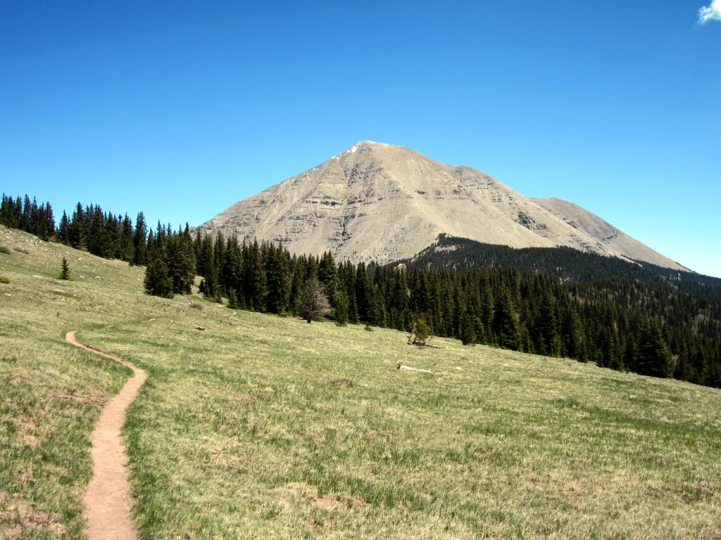
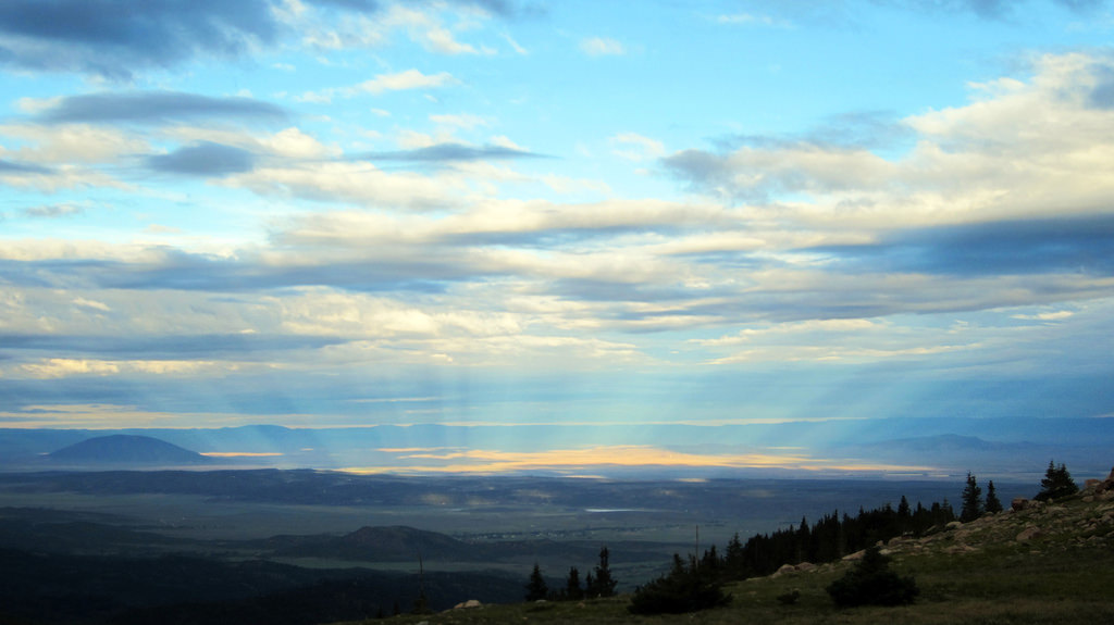
West Spanish Peak as seen from the West Spanish Peak Trail.
Anna-Lisa and I found ourselves free of obligations and decided to head down south for a succinct overnight car camp/peak combo in early-June. Though much of the rest of the state was still very much in spring mode, the areas just north of New Mexico had melted out early. In fact, the landscape and temps resembled summer more than they did spring.
We drove down on a Saturday afternoon and were pleasantly surprised by the town of La Veta and the surrounding area. We had never been to La Veta before and found the mountain town vibe mixed with the southwestern architecture and distinct New Mexican feel to be a unique combination. The incredible rock formations along the side of the road to Cordova Pass were worth the trip to the area in and of themselves, and the greenery in the Cuchara River Valley was lush and full, a result of recent snow melt no doubt. There are more hidden gems in Colorado than any one person can count, and the Cuchara River Valley is definitely one of them.
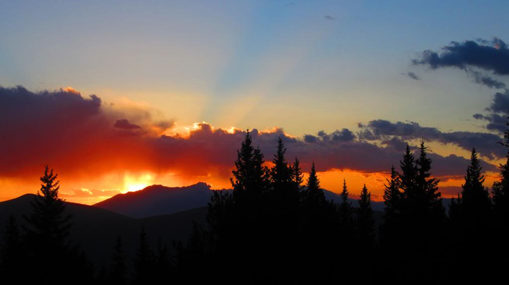
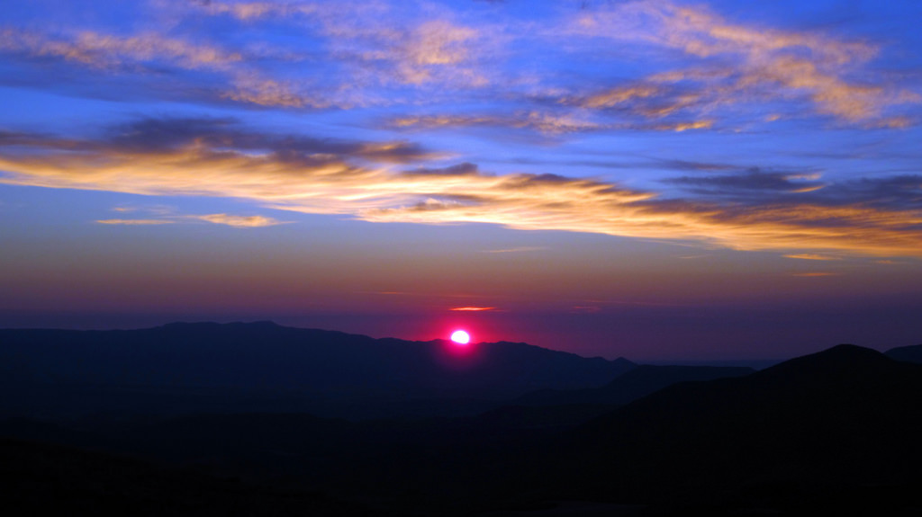
A Sangre sunset over Cordova Pass.
We car camped at the Cordova Pass camground and had the place all to ourselves on this June evening. The sunset from the pass was incredible and we made sure to take advantage of the abundant wood and fire pit at our camp site. As long as the grounds aren’t too crowded I would highly recommend this spot for a car camp with easy access to a high peak.
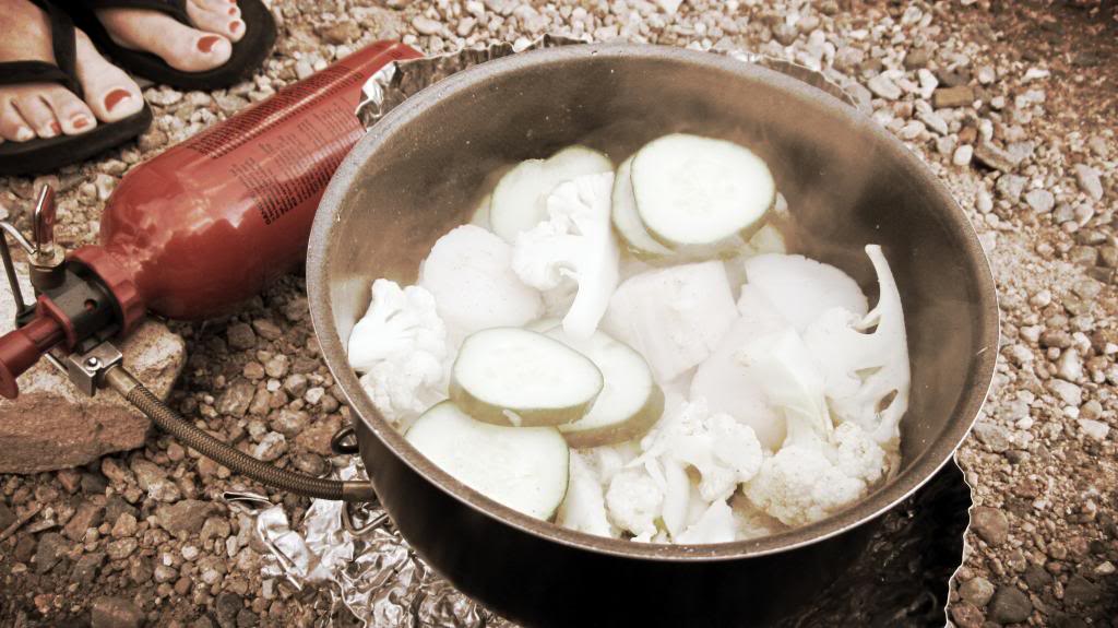
Having my wife along meant our culinary options were far superior than I’m accustomed to on backcountry trips.
East and West Spanish Peaks are highly visible from I-25 and along Highway 160 west of Walsenburg. I had previously spied these peaks numerous times during drives to the San Luis Valley south of the Little Bear Group. In a similar fashion, travelers of the Santa Fe Trail used to use the peaks as landmarks along their journey to Santa Fe, Taos, and other destinations in the southwest.
Despite the western peak’s dominating appearance, a 7 mile, 2,400′ round trip hike is all that’s required to gain its summit. Sounded great to us as we were there not only to hike but to relax and enjoy our first real taste of summer in the backcountry.
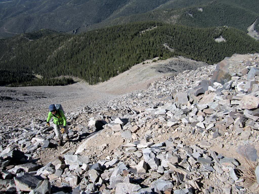
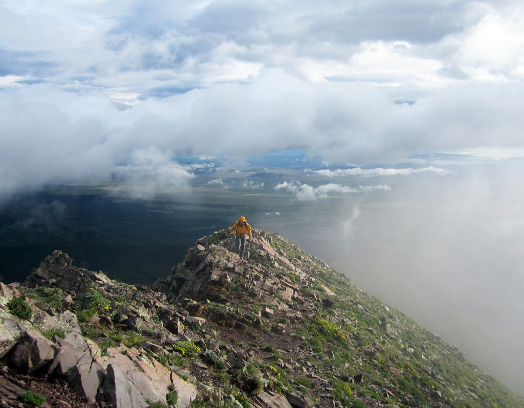
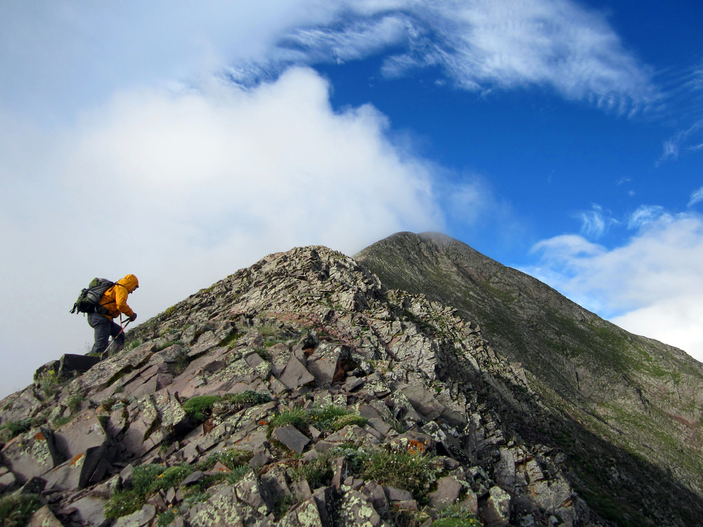
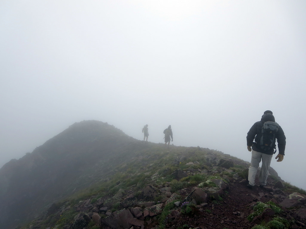
Anna-Lisa hiking above tree line up the broad southwest flank of West Spanish Peak.
The route heads northeast through the woods along a defined trail before breaking out into the large alpine meadow depicted a few photos back. From there an equally defined trail heads up through the woods for over a mile before breaking out above the trees at the base of the peak’s southwest ridge/flank. There are good cairns all the way up the route from where we left the trail to the summit ridge, and we found the rocks and talus to be surprisingly stable along the way.
From the summit ridge a five minute walk east had us to the true summit of West Spanish Peak.
El cumbre!
On a clear day this peak grants some truly special views; large flat expanses of arid desert valley spread out from the peak’s base in every direction, granting a definite sense of prominence to whoever is standing on top. It’s also not hard to make out the volcanic dikes zig-zagging in serpentine fashion through the landscape far below. The entire time I kept thinking the peak resembles a Cascade Volcano more than any mountain in Colorado.
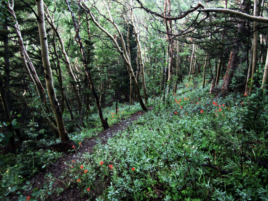
The hike below tree line is rife with bristlecone pine and many other interesting flora.
We descended after spending a long time on the summit, eating, resting, and admiring our surroundings. The down went quickly and before we knew it we were in the trees making good time back to our car camp. A ways down the road we stopped at a scenic overpass and made lunch. I didn’t miss the opportunity to break out a brew which I feel complimented the area nicely.
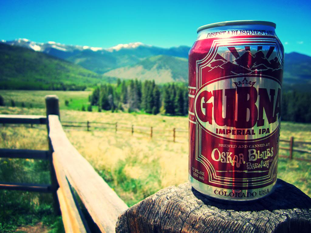
Oskar Blues overlooking the Cuchara River Valley of Southern Colorado.
West Spanish Peak, I’d highly recommend checking it out sometime if you haven’t already. And I didn’t mean to show zero love for the east peak, it looks like a worthwhile endeavor in and of itself as well. Props to those who do both peaks in the same day, that is quite a feat.
California and a Couple of Unnamed Points, July 27th
A red sunrise over the southeastern Wet Mountain Valley.
Next up, Brian and I decided to head down and check out the Music Pass area. Milwaukee to Pico has long been on both our radars, and although Brian had already hit Tijeras and Music, he had no qualms about repeating them. We loaded up after work and drove to Westliffe, down Colfax Lane, and up the start of the road to Music Pass. Turns out, the road is no longer 2WD friendly (if it ever really was) as we were physically unable to get my Accord up a leftward trending slope roughly 2 miles short of the trailhead. Truth be told I’m only envious of those who own 4x4s in about 0.5% of situations I come across in my car, but I’d be lying if I didn’t admit that this was one of them.
Rather than stubbornly attempt to force our way up a road in a car that was clearly not designed for such a task, we took a step back and re-evaluated our options. It only took a few minutes to land on the California Group, and back down in the valley we were able to pull up a TR of the same loop on Brian’s trendy new mobile device. After driving south, rearranging our gear into daypacks, and stashing a few beers in the creek, we were on our way through the woods along the Huerfano/Zapata trail.
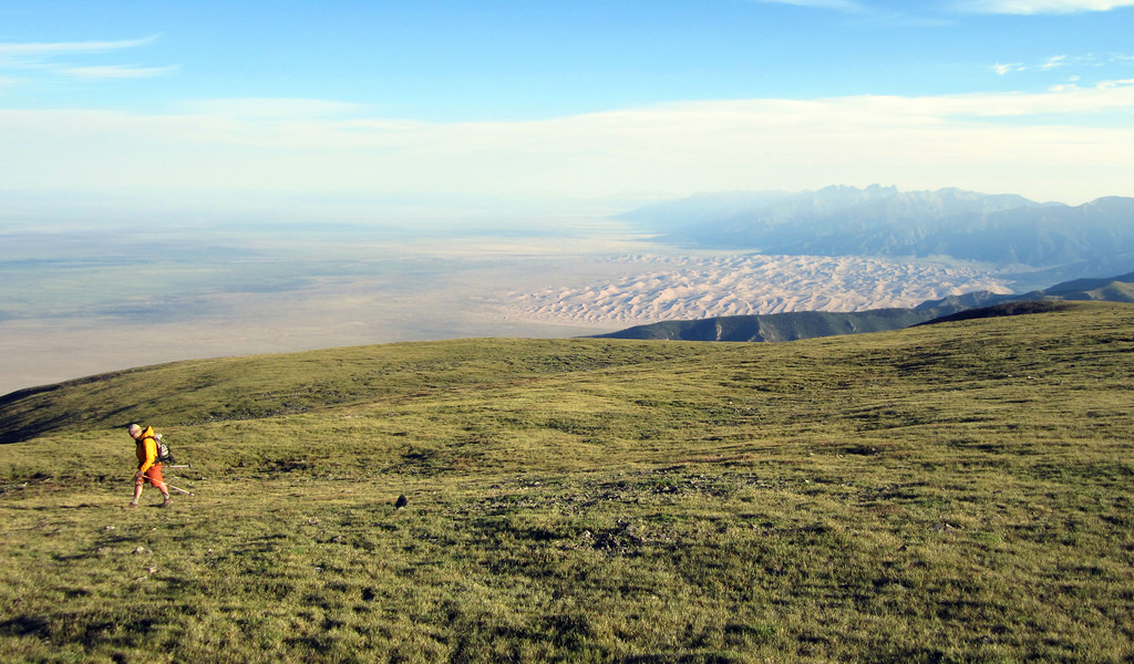
Brian hiking along the ridge with the Great Sand Dunes behind him.
Probably my favorite shot from the day – The largest dunes in North America with some familiar peaks to the north.
Getting onto the ridge is a fairly straightforward task, though somehow we managed to lose the trail in the first open meadow we came to. Now trail-less, we worked our way up through dense pine forests and wet foliage and eventually came upon the trail again. Twenty more minutes of hiking had us to the pass and the start of California’s long north ridge.
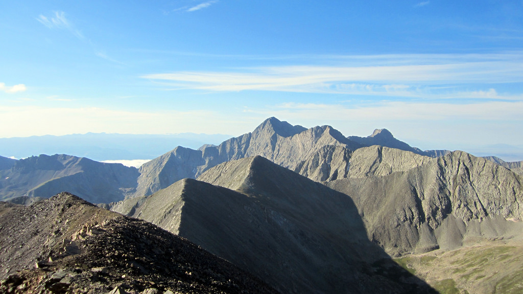
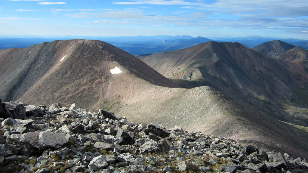
From there the name of the game is to hike until you’re sure you’re looking at the true summit, gain it, then realize you’re actually on a sub-summit with the true summit another mile and several hundred vertical feet away, then repeat. This is one LONG but otherwise enjoyable and scenic ridge walk. The views of the Blanca Group just get better and better as you progress along the ridge line.
On the ridge past another false summit with the Blanca Group coming into view. Photo by Brian.
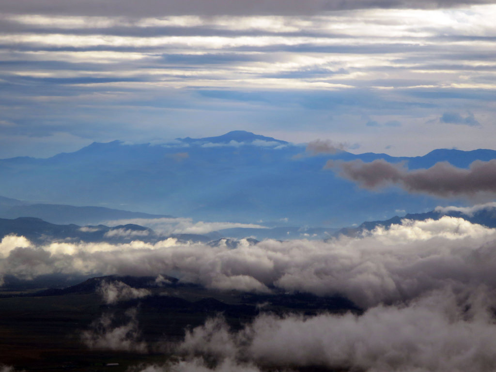
A few hours after leaving the car we topped out on California. Looking out across the way we could see nifty cloud inversion with the Spanish Peaks breaking out above it, framed on either side by Mount Lindsey and Blanca’s jagged Gash Ridge. Needless to say the views didn’t disappoint.
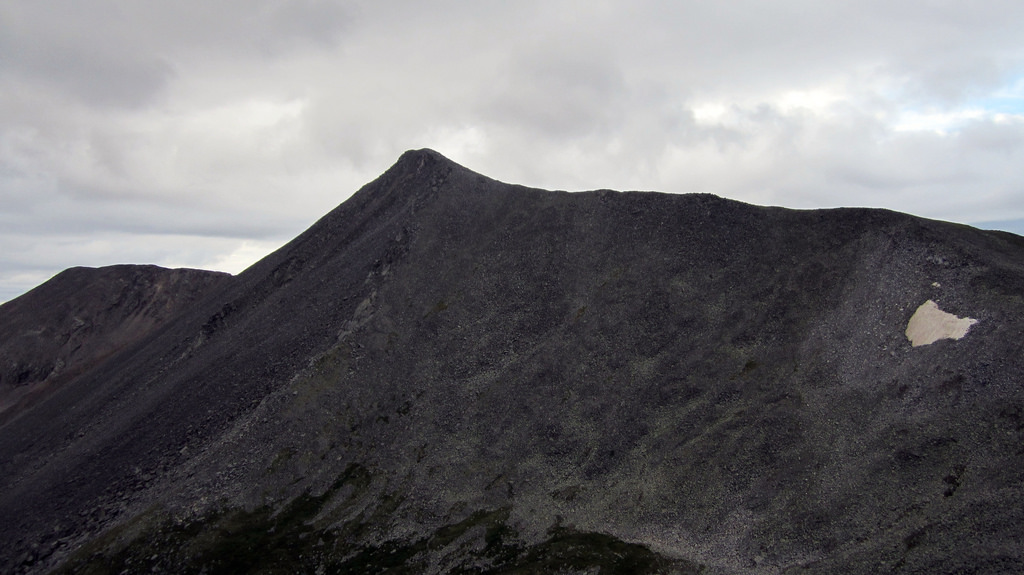
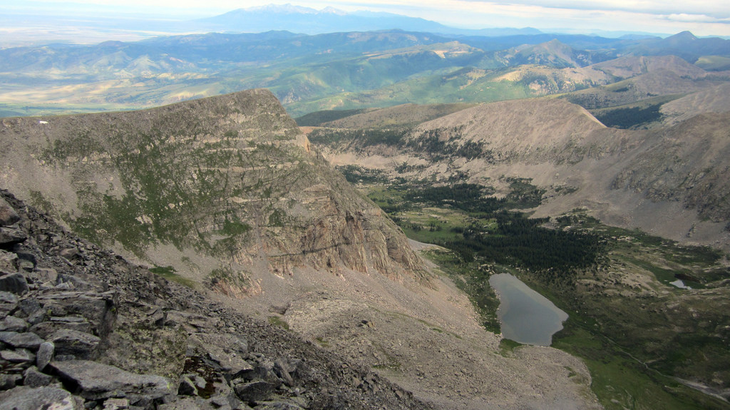
The undulating ridge over to Unnamed 13,577 (third hump on the left) and Unnammed 13,660 (far right).
We made the easy decision to head over to the unnamed points as the clouds had yet to gain any momentum and we were both feeling great. Though these peaks look fairly close, they feel farther away when you hike to them. We made our way slowly but consistently across to Unnamed 13,577, determined that the most obvious descent route to Lily Lakes was going to require returning over the top of it, then dropped down to the connecting saddle and climbed up to Unnamed 13,660. The final portion of this ridge holds some fun scrambling in a grand setting.
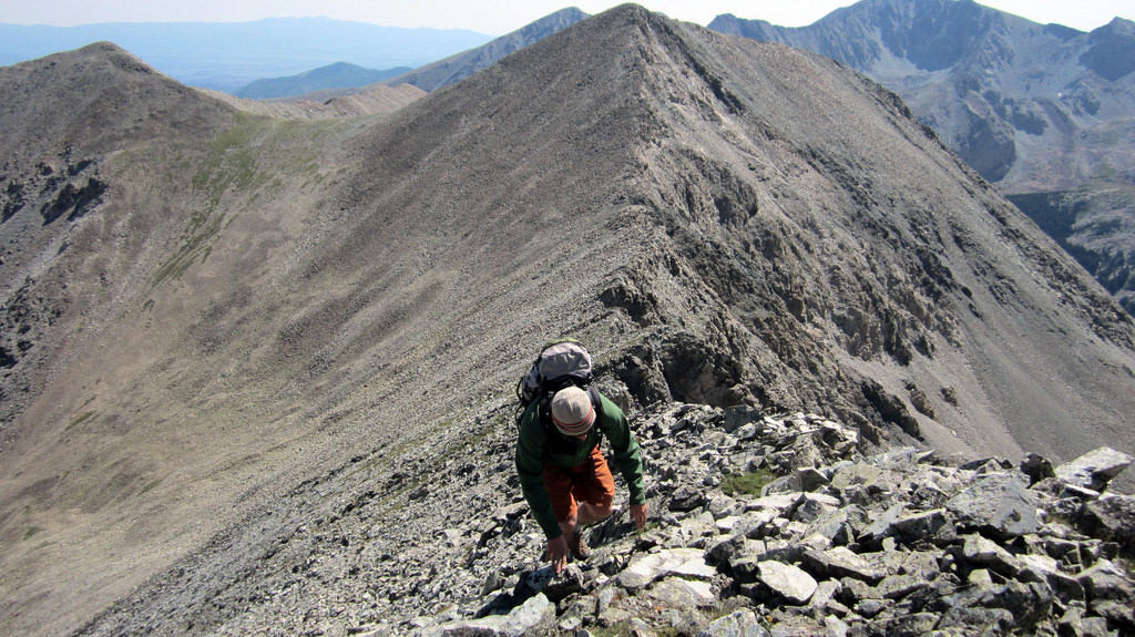
Brian scrambling high on the class 3 ridge to the unnamed but ranked Bicentennial.
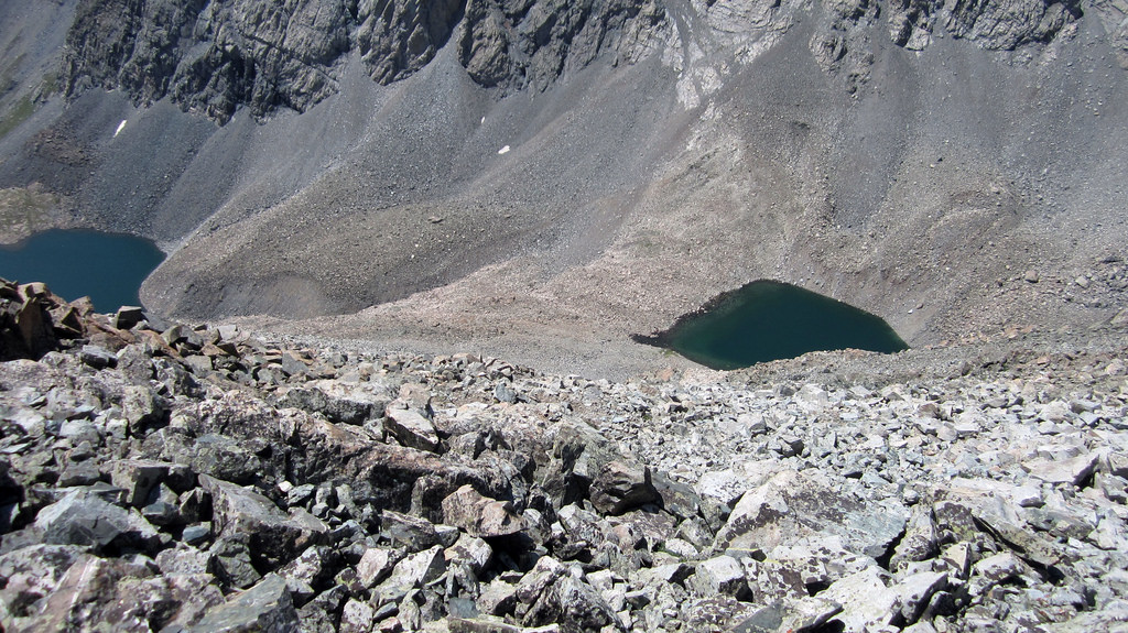
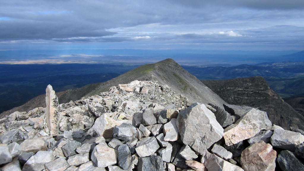
Our descent route off the southern summit ridge of Unnamed 13,577, Lily Lakes down below.
We popped back up and over Unnamed 13,577 as planned and made our way down a hellaciously loose and tedious scree field. The route we chose entailed about 1,500 feet of careful tiptoeing across loose, unsettled rocks. Lower down we came to some class 3/4 downclimbing that was still fairly loose and subject to rockfall from above.
By the time we hit the lakes we were happy to be out of the mess and down on solid ground. I’m not positive how others have descended to Lily Lakes but I’m fairly confident we failed to find the best route down.
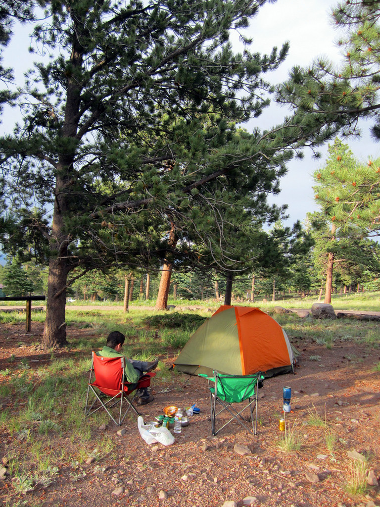
Car camp at the Horn Creek trailhead.
After basking in the sun by the lakes for an hour or so we worked our way down the trail to the standard Lindsey junction, then to the Lily Lakes trailhead and eventually the Huerfano trailhead, capping off a 10.5 mile, 4,900′ day. An hour drive had us relocated to the Horn Creek trailhead and the second part of our plan B consolation weekend.
Running from Mother Nature on Horn Peak, July 28th
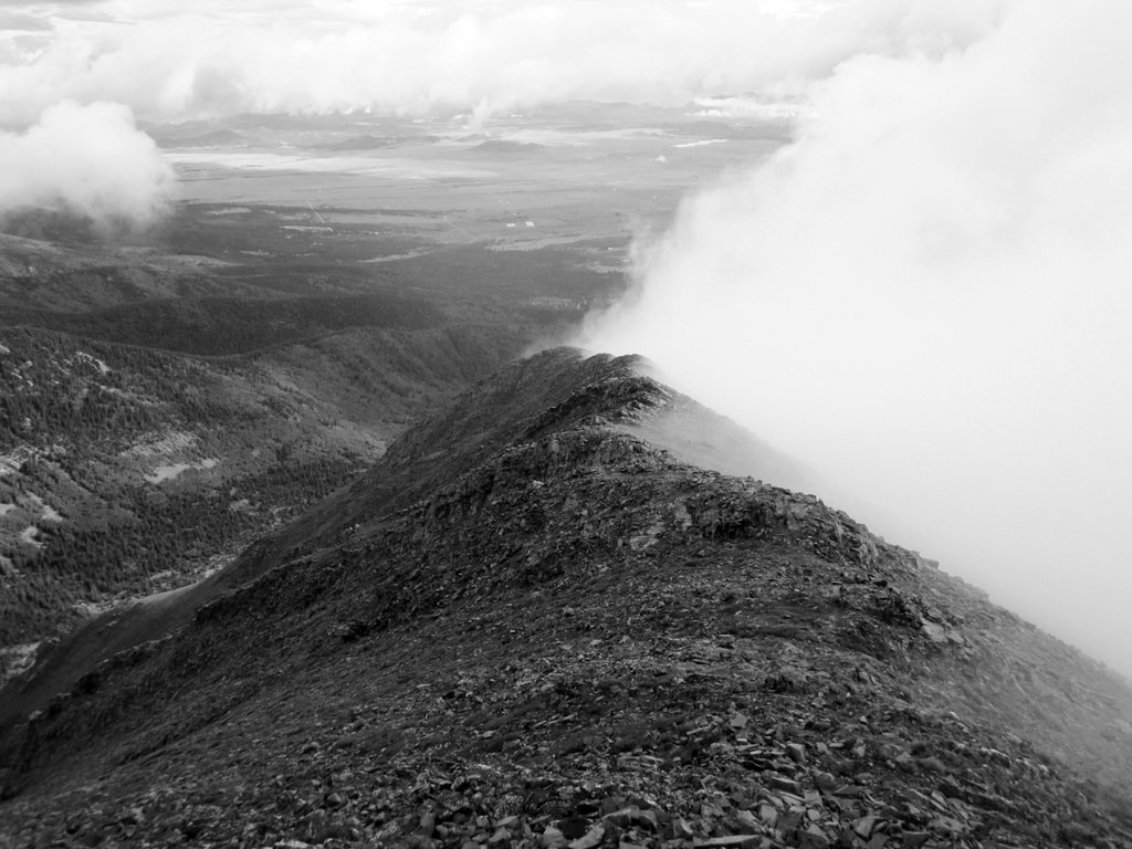
Brian working his way along the north ridge of Horn on a cold and windy July morning.
This past November Brian visited the Horn Creek area and summited Little Horn Peak before turning back from Fluted and Horn due to incoming weather. He kept that trip stashed in the back of his mind and after getting aced by the Music Pass road, the Little Horn/Fluted/Horn traverse became our first option for Sunday. But once again mother nature had different ideas. After a mile of hiking up the trail towards Horn Lakes it started raining on us just after 4am. The sky was clearly upset so we were skeptical about how big a window we were going to get on this day.
Some more improvisation led us back down towards the Rainbow Trail junction, where we hung a left and hiked north to the trail split for Horn Peak. Our logic was Horn was the easiest of the three and had a defined trail most of the way to the summit, so if we were going to get soaked we might as well have a path to follow.
Lush forest below Horn Peak’s east ridge.
The upside of this route is there’s a defined trail all the way to tree line, the downside is at tree line the trail is quickly replaced by a steep, unrelenting grass slope that will test even the heartiest of hikers. Above the trees we became subject to another force: the wind. Clouds had been ripping over the tops of the peaks all morning and with no protection temps dropped significantly. We grunted a thousand feet or so up the grass slope before coming to a more defined ridge feature, and shortly thereafter we were treated to some spectacular views of the Wet Mountain Valley.
Intermittent cloud cover in the valley, Pikes Peak’s silhouette in the distance. Photo by Brian.
Brian closing in on the summit, this was one of the few times we could actually see it.
We continued on up the rocky ridge line, slowly but surely, until at last there was no more ridge line to climb. We couldn’t see anything but we knew we were on Horn’s summit. I can imagine the views from the top of this one are spectacular on a clear day. While sitting there trying not to freeze our tits off we were joined by mennoguy from 14ers.com and his friend, Ben. After a brief exchange we all decided enough was enough and headed on out. Still enveloped in fog we didn’t have much to look at for the first few hundred feet of the descent. With the summit behind us and the views gone, the thought of beer stashed in the creek became our primary motivator.
Just off the top. Photo by Brian.
The Wet Mountain Valley and a cloud wall clinging to the south side of the ridge line.
We made quick work of the trail once below tree line and hurried back to our stash…
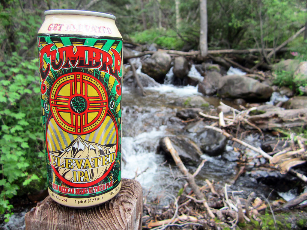
I know I’ve seen this can elsewhere recently, perhaps because both of them came from the same refrigerator?
After the Cumbres (a fitting beer for our weekend I must say) we worked our way back to the tent and conked out in there while wind and rain pounded the area. Looking up at the storm I would not have wanted to be anywhere near a high peak or ridge line, that’s for sure. Monsoon season is in full swing. Side note for anyone who’s interested, the stats for the day came in around 10 miles, 4,600′.
$150 for a Second Round and a Piece of Big Red, August 3rd
Red Mountain’s summit wind block with the Spanish Peaks in the distance.
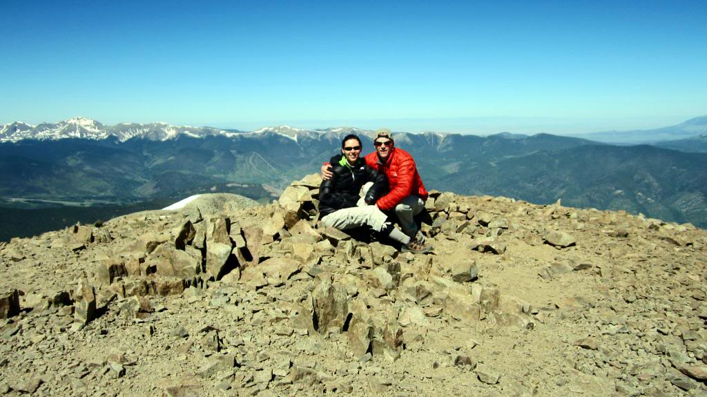
Despite all of the flak many of us throw at the concept of lists, I must admit I’m a sucker for a good one every now and again. I’m not sure one can really explain their desire to climb any of the peaks on Cielo Vista Ranch property without first admitting to an interest in some form of list. So here is my admission. I finished the 14ers in 2007 but continued to repeat them for several more years, over and over, usually to explore a new route, a ski descent, or to help out a friend who was trying to complete them. Then I finally started looking into 13ers and to be quite honest have never really looked back. A natural continuation of the 14er list, the Centennial list is one that interests me, and I’ve been slowly chipping away at it amidst chasing other goals.
One Centennial, Red Mountain A, lies on private land just south of Culebra. Back when I hit Culebra the first time Red simply wasn’t on my radar, so I declined to hike it at that point in time. Thanks to all the 14er repeats I mentioned above, the only peak I had left en route to a second completion of the Colorado 14ers was, as you may have guessed, Culebra. The ability to complete one list and add to another, along with a desire to see the ranch again, provided sufficient motivation for me to sign up for an August slot, and this time fork over the extra Ulysses S. Grant to have a shot at Red.
Looking out over the San Luis Valley from above the 4WD lot on Culebra.
Our day up there started out somewhat dark and dreary, with impending storm clouds already assembling when we started hiking at 6:45am. Many members of the group (myself included) were somewhat apprehensive about the weather and pushed it into high gear in order to avoid a $100 soak and no summits.
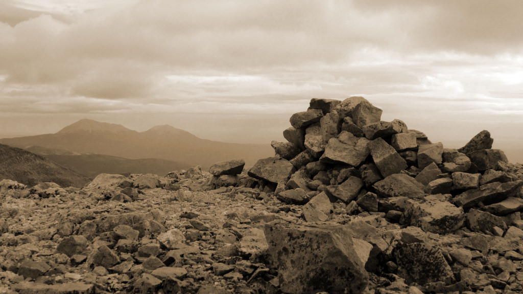
As it so happened I was the only one in the group attempting Red, so I felt I really needed to double time it in order to get both peaks. I made my way up to the gigantic dong-shaped cairn and then over to Culebra’s summit ridge as the clouds seemed to relent slightly. Myself and one other member of the group (goingforthegold on 14ers.com) summited Culebra in 1:10:00 from the upper-lot. Not too shabby!
Culebra’s long summit ridge on a dreary August morning.
Culebra’s summit capped off my second round on the 14ers.
With the weather holding steady I made my summit stay short and headed on down towards Red Mountain. The peak looks farther away than it really is; I was down on the saddle and ascending the climber’s trail up through the talus on Red’s northwest face not long after leaving Culebra.
The route to Red as seen from Culebra’s summit ridge.
After a handful of M&Ms and a swig of Vitamin C drink mix, I plodded onto Red’s summit, tired and ready to sit and enjoy the views for awhile. I did keep a canister of bear mace at the ready as apparently there were some bear sightings high on the mountain a few weeks ago.
Red’s summit with “The Harmless Snake” behind.
After a good summit stay on Red I booked it across the saddle and contoured below Culebra’s summit back to the summit ridge, finishing off the 3,300′ of vertical that both of these peaks require. From there a knee bashing grunt down the gentle grass had me back at the lot and happy to have a ride down the road, courtesy of ameristrat and co from 14ers.com. Thanks again guys!
Interesting rock formations line the Carneros Creek Drainage below Culebra’s north face.
Once outside the gate I plopped down a camp chair along with Ben and we shared a brew while looking out over the landscape. It really is amazing how rich and tumultuous a history the ranch has realized over the years. I recently began reading “The Taylor Ranch Wars: Property Rights Die” by Dick Johnston, which outlines the history of the Cielo Vista property dating back to Beaubien and the original Mexican land grant, sealed by the Guadalupe-Hidalgo Treaty, to Jack Taylor and ex-Enron executive Loi Pai’s attempts to lock the locals out, preventing the communal usage they had enjoyed for the better part of a century, and the ensuing court battles. When you think about it we are privileged to be able to recreate on this land; many Coloradoans weren’t able to do so for many years.
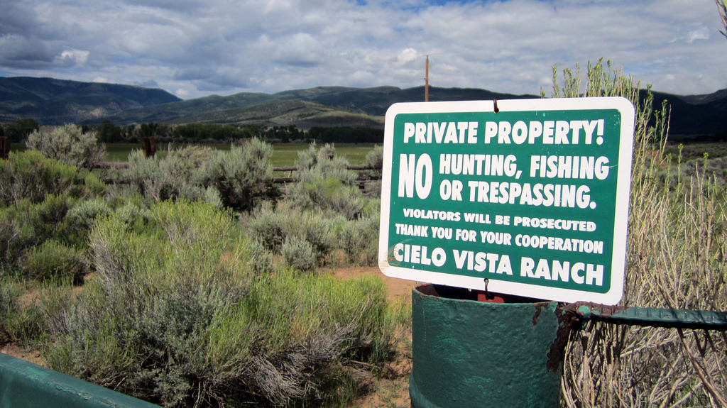
The Cielo Vista Ranch property gate.
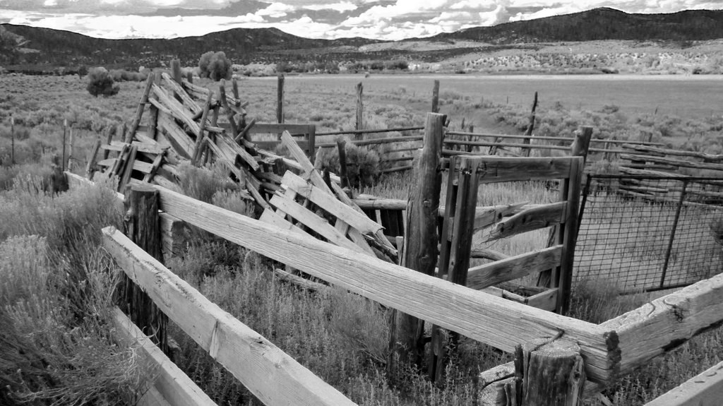
Remants of old ranch corrals from another era.
If you’ve read this far, well, thanks for reading! I’m done. See you around…