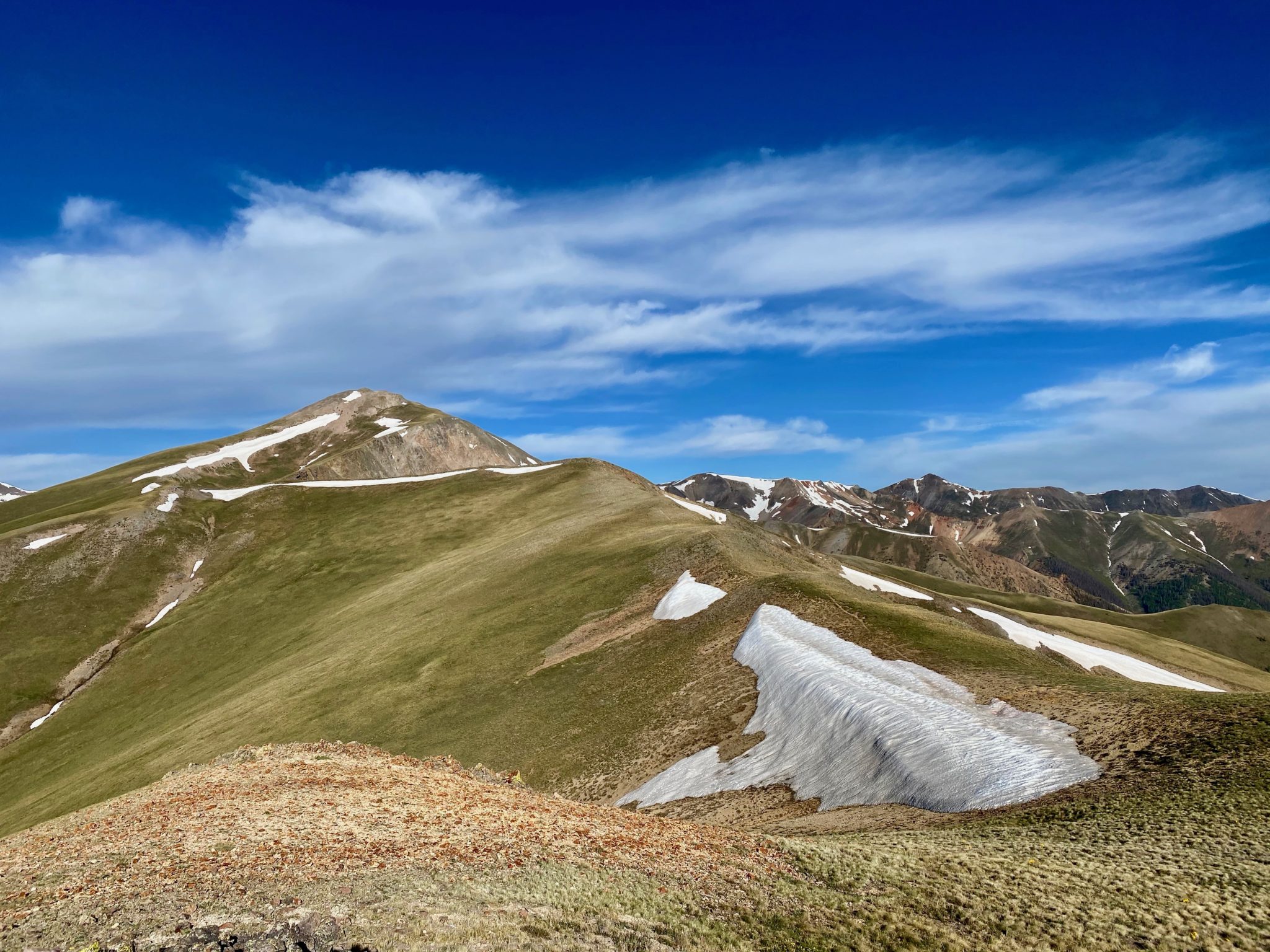
Looking back towards Grassy Mountain (12,821′) while high on the connecting ridge that comprises the first segment of the SJS course – June 26, 2020.
- Peaks: Unnamed 13,811 & Unnamed 13,832
- Route: Lake City > Alpine Gulch > UN 13,811 > UN 13,832 > Williams Creek > Alpine Loop Road
- Distance: 22 miles
- Vertical Gain: 6,375′
- Route Track: strava.com/activities/3675500249
- Time: 6h 8m
- Climbers: Solo
- Date Climbed: Friday, June 26, 2020
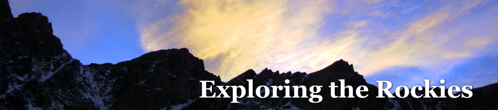
San Juan Solstice Substitutes
The San Juan Solstice 50 miler down in Lake City has had a rough couple of years. In 2019, the historic snow and avalanches in the San Juans rendered the course un-runnable (not to mention the threats of flooding in town), which cancelled that year’s race. The 2020 version was scrapped again, unfortunately, as this time we had COVID to thank.
Obviously cancelling the race was a big bummer all around for a lot of people, but I was feeling especially disappointed this year as I’m now 0/2 trying to run it. Running had been my coping mechanism during quarantine, so I was pretty bummed when the inevitable happened. Here’s hoping next year works out better for everyone….
Anyway, we still had a place in Lake City booked, and some family who were keen to go down with us, so we figured we’d make the most of it and go enjoy a long weekend by the lake. This area continues to be one of the best in the whole state; it was an easy decision.
Another easy decision was to make the most of my fitness and hit some new peaks down there, ultra-running style. I’ve been semi-focusing on the Centennials as that list gets smaller and smaller for me, so it was a perfect chance to hit some of the local high peaks as well as run a segment of the Solstice course.
San Juan Solstice Segment #1 + Bonus Centennials
My first objective was to hit the two unnamed centennials on the ridge behind Sunshine and Redcloud. In studying my route options, I realized that A) These peaks were right along the opening segment of the SJS course, B) it would make for an awesome trail run, C) with a car shuttle, I could do it point-to-point, and D) I could do it all from the front door of my Airbnb. Perfect.
After a chilly opening mile at 5:00 AM followed by a quick pit stop at the park in Lake City, I found myself directly ‘reenacting’ the opening miles of the race as I climbed the road out of town towards Engineer Pass.
Looking back towards Lake City as the sun rises.
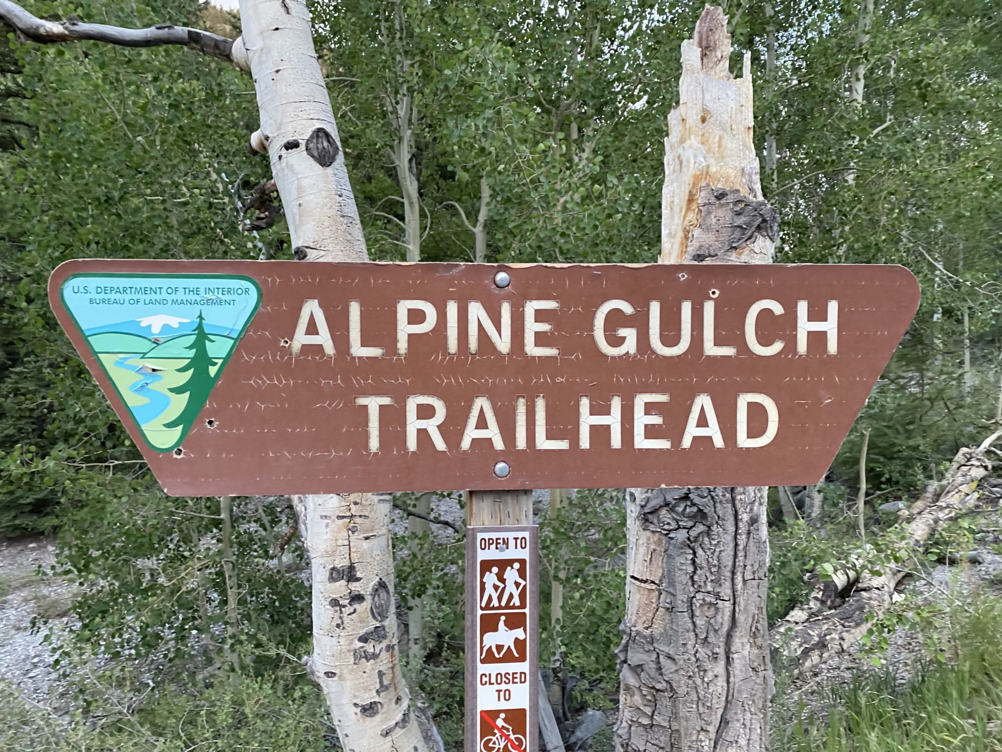
After a few gentle miles on the road I reached the Alpine Gulch trail junction. It was nice to have a semi-flat warmup to the day on the road, as opposed to the usual calf-destroying steep climbs that happen all too often right at the start of these runs.
I knew that climbing up Alpine Gulch would be a bit of an adventure, and it did not disappoint. This one felt like an absolute classic San Juan drainage to me: narrow, lush, overgrown, a rough trail, and plenty of water. Roach noted there would be at least five mandatory creek crossings, but I lost count after about seven. A few were unnecessary, as it was tricky to figure out where the trail goes.
The good news was I knew ahead of time that this would be the last weekend running on my current pair of Hokas, so I just accepted the inevitable and dunked my shoes every time. The water wasn’t super high, but it was still pretty much completely unavoidable.
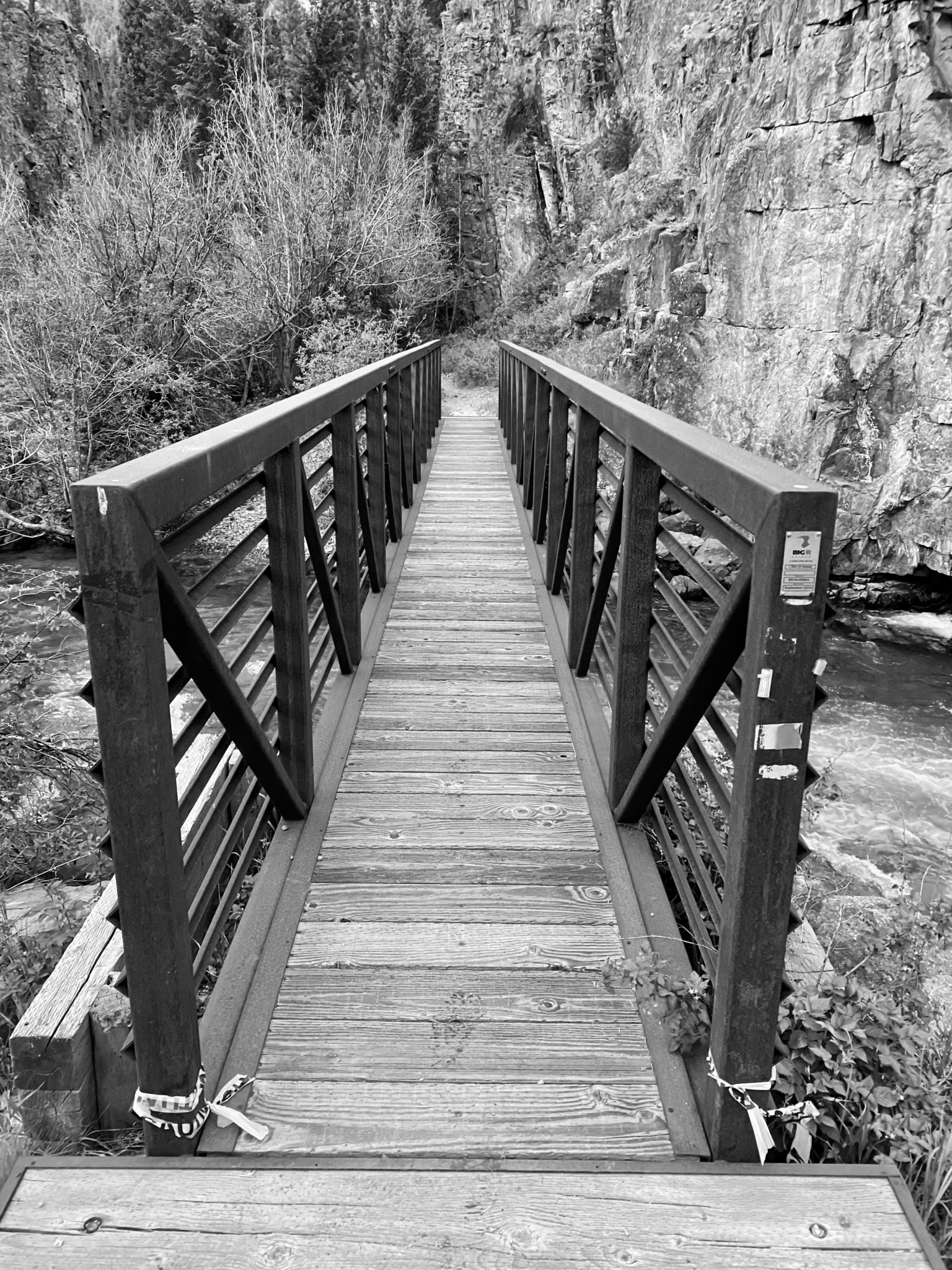
Gateway to the wild.
But a bit of weaving and wet feet was a small price to pay for being in such a remote, wild valley. I was instantly struck by how different (and better) this area feels. Good to be back in the San Juans.
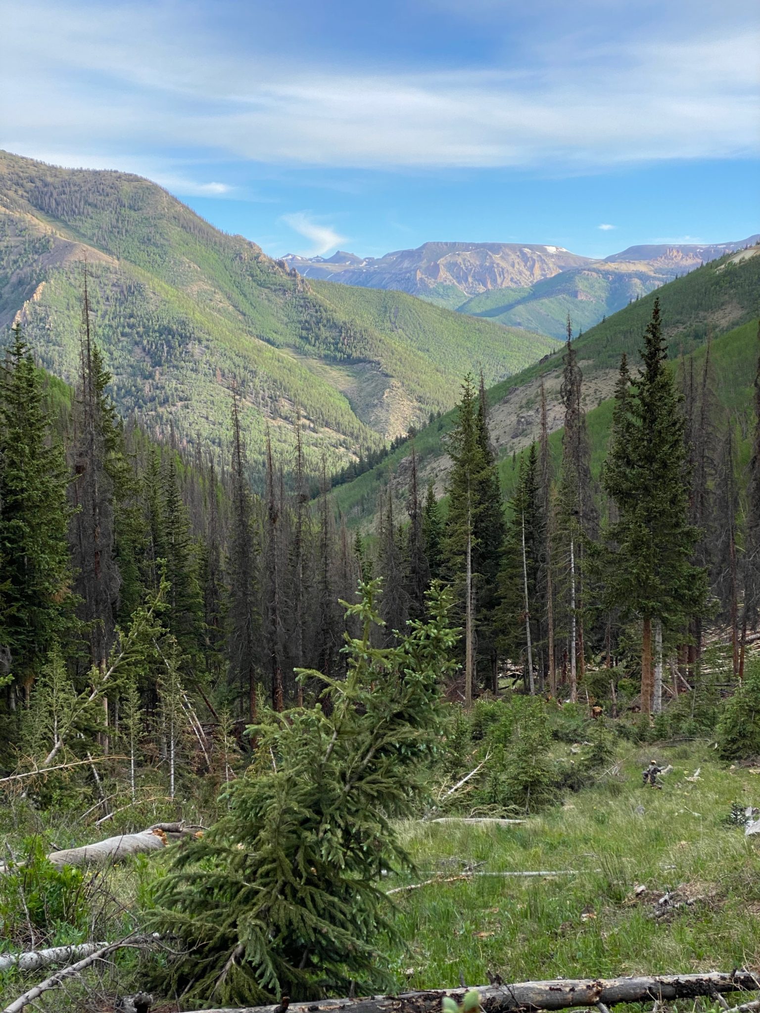
Higher and higher, looking back down Alpine Gulch.
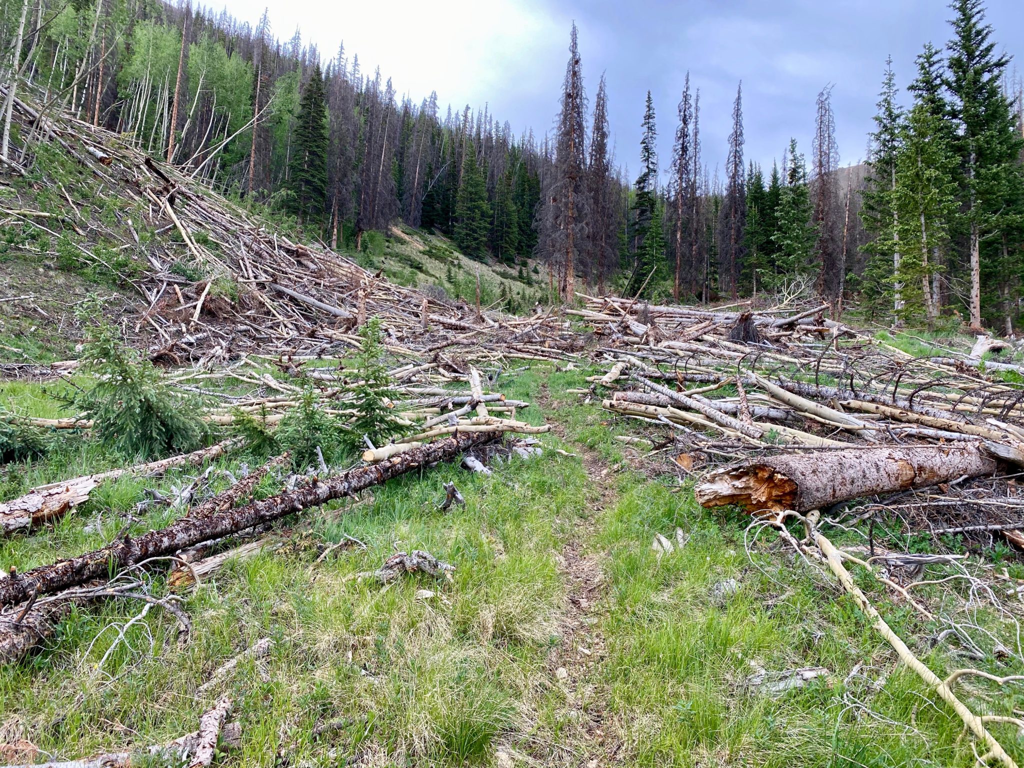
After the adventures with the creek, a new challenge popped up at approx the ~4 mile mark of Alpine Gulch: impressive avy debris filled a number of spots in the valley and made following the trail a bit of an adventure. I pretty much lost it altogether just before treeline, but otherwise it wasn’t too terrible. I was able to more or less go where I was supposed to be, finding and losing the trail again multiple times.

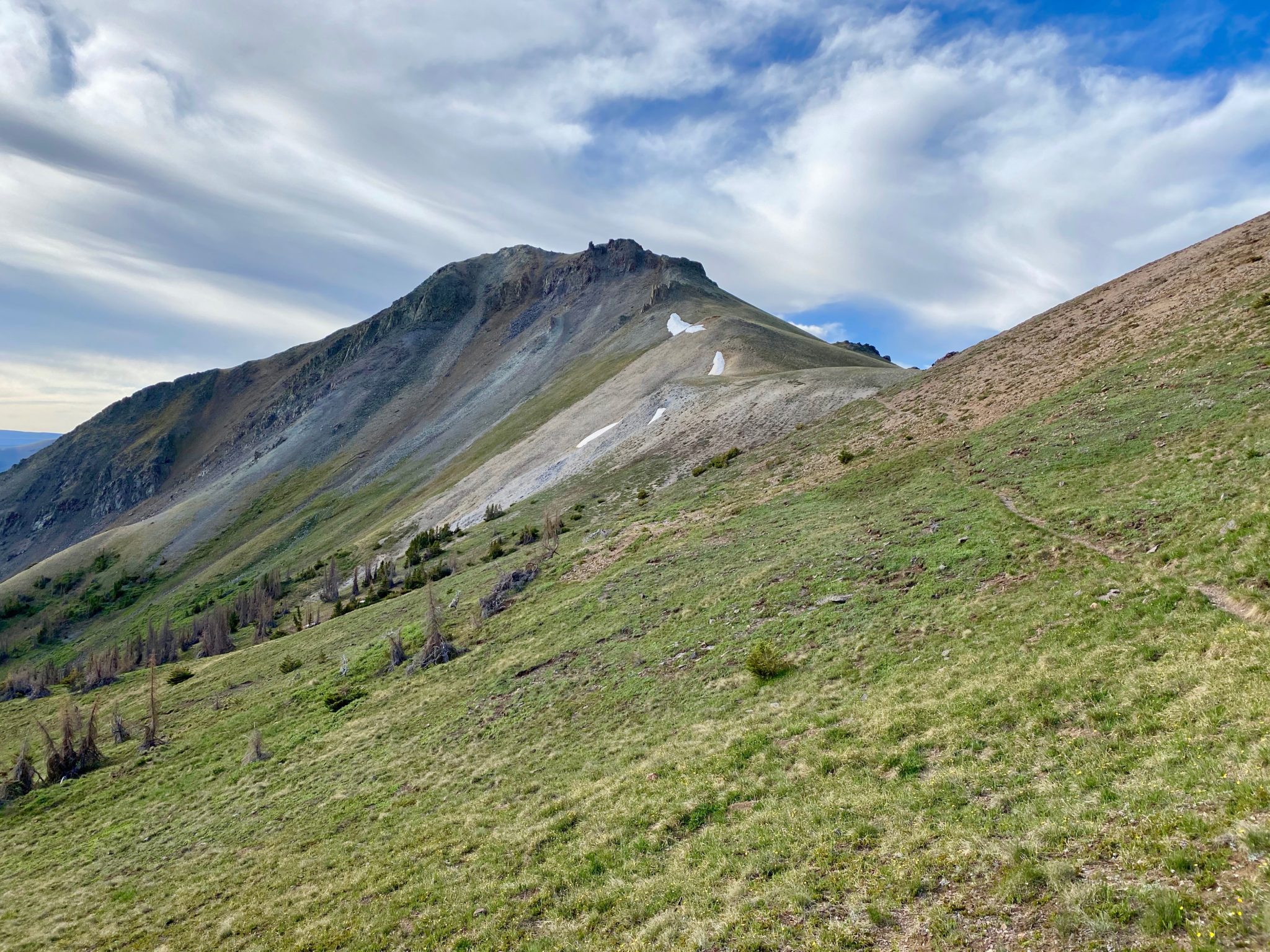
Finally gaining the high ridge right at treeline.
It was nice to be above the trees and to find the trail again. Putting thoughts of creek crossings and downed timber behind me, I was finally able to jog and really settle into the day. The trail system up there was nothing short of spectacular. It felt good to be on the course and to be able to appreciate it in spite of everything else. Magnificent.
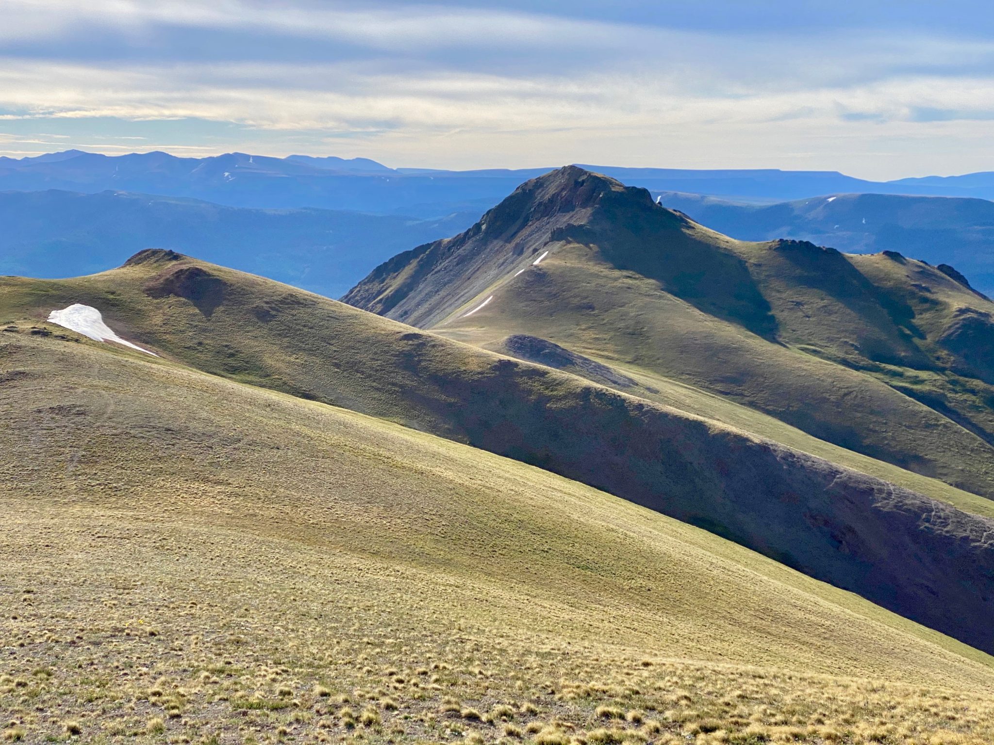
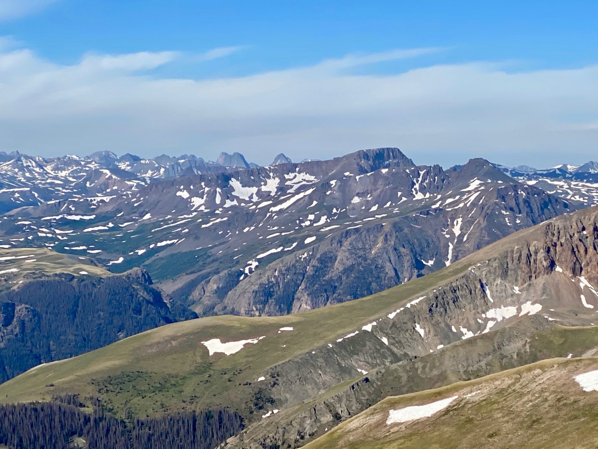
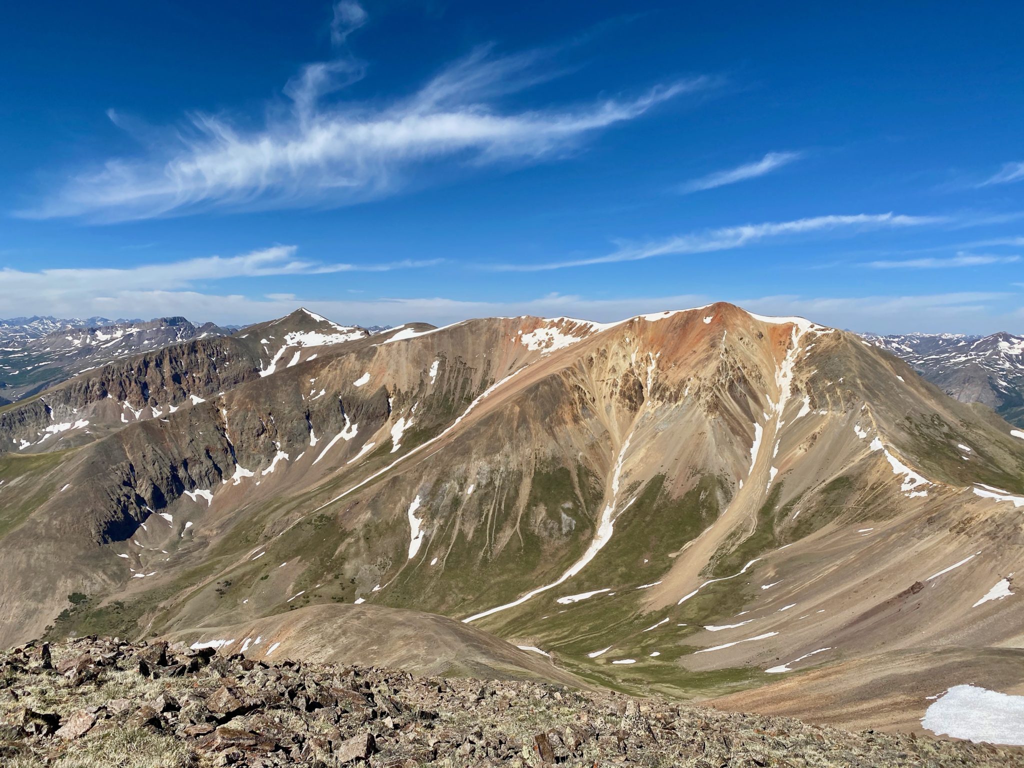
Looking towards Grassy Mountain – 12,821′
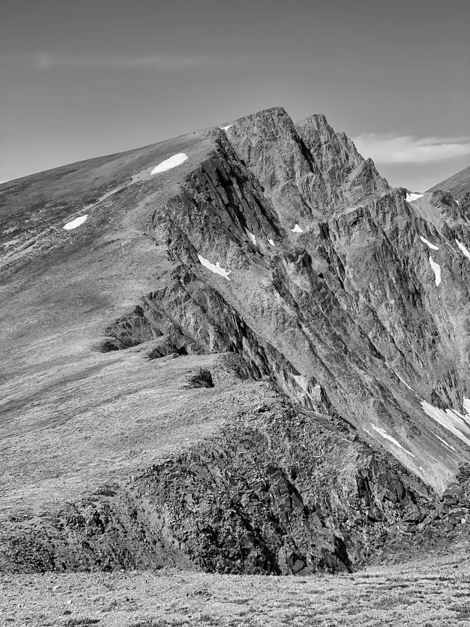
The first peak of the day – UN 13,811 – finally comes into view.
I reached my first summit by simply following the trail until it cut directly underneath UN 13,811’s prominent Southeast Ridge. The way up couldn’t have been more obvious or pleasant. Equally so for the summit, where I munched on a PB&J and basked in the glory of the surrounding San Juans.
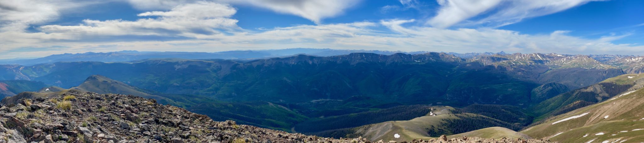
Fun to look across the way and see the Continental Divide peaks. The SJS course proper dips into the valley before reascending to cross these peaks right to left. (click to enlarge)
Looking back towards Red Mountain and the ascent ridge.
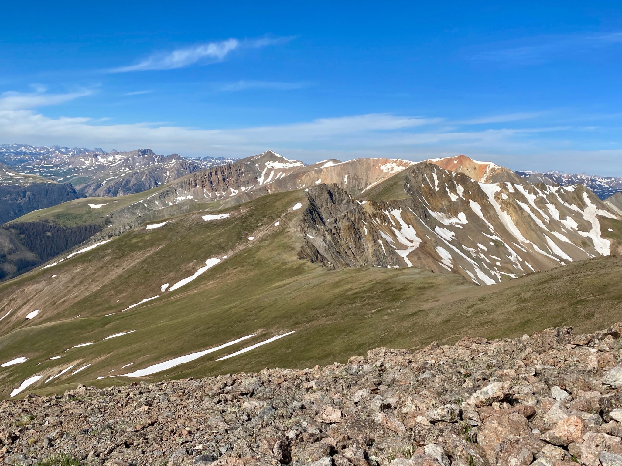
Views over towards the next stops: Point 13,632 (unranked) & UN 13,832. Sunshine & Redcloud are beyond.
I see you, Wemi.
With gentle southern slopes ending abruptly into steep northern cliffs, this area felt a bit like Glacier Gorge.
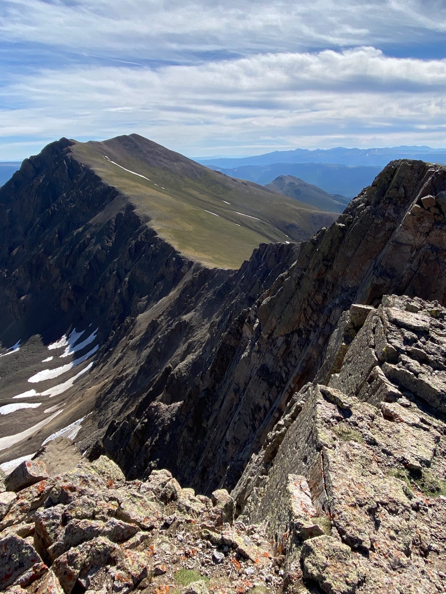
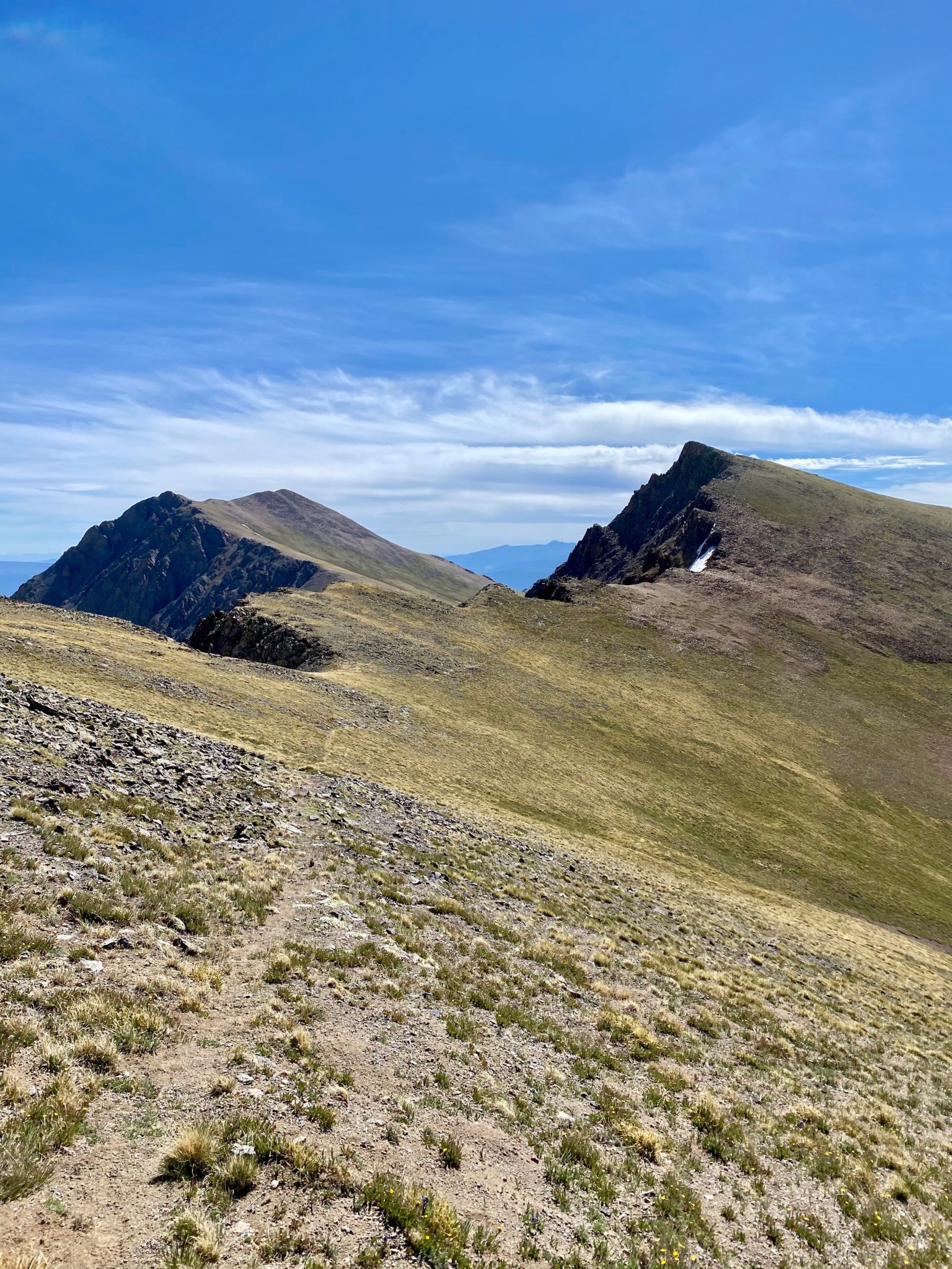
The way over to 13,832 was just a nice as everything before it, with the added fun of some great views from the top of Point 13,632. This view is looking back on 13,811.
I made it to my second summit of the day and took another quick break. Surprisingly, I had cell service. I put in a quick call to Katie to confirm my pickup time. With that arranged, I kicked my feet up and watched the line of ants crawling up Redcloud.
I had only seen one other hiker all day to this point (at a far distance heading back down), and would only see one other party beyond that: a friendly group of Boomer Texans just above the Williams Creek TH. As I passed by, one of the nice old ladies called out in a classic Texas drawl, “We’re just so proud of yew!!”
I’ll admit I’ve done more than my fair share of Texas-bashing in my life, but lemme tell ya: the homely warmth and sincerity of this lady made me almost regret all of it. Almost.
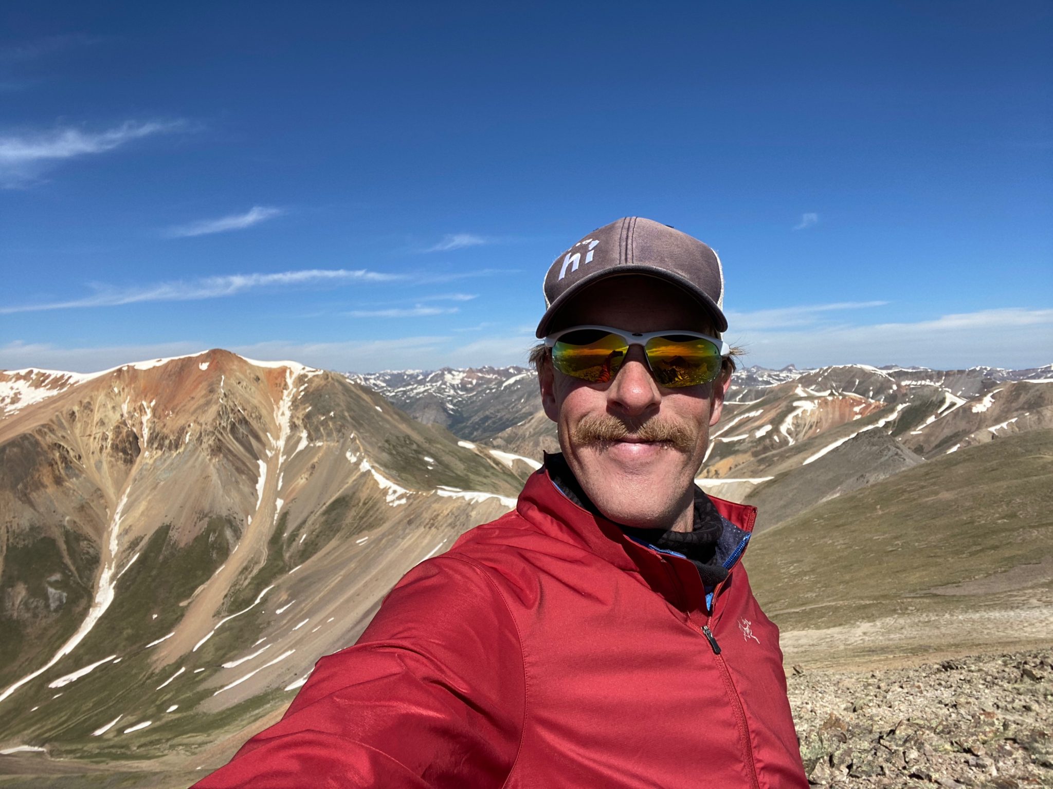
Quarantine-stache level 100!
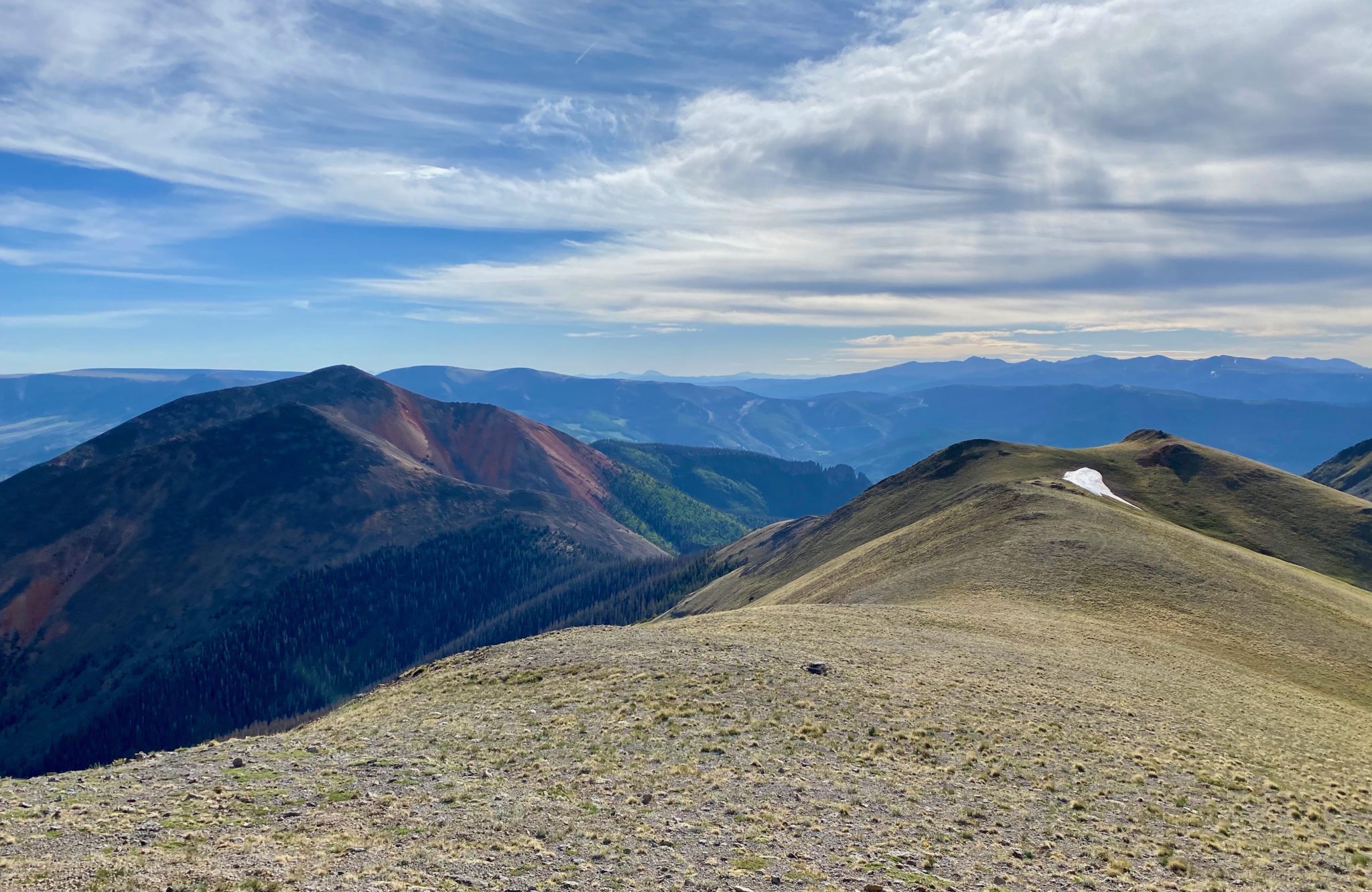
Looking over towards Sunshine & Redcloud. I’d originally contemplated adding these to the day (tempting), but it would have taken too long. Also, it would have made for a much longer, bumpier rendezvous with my ride.
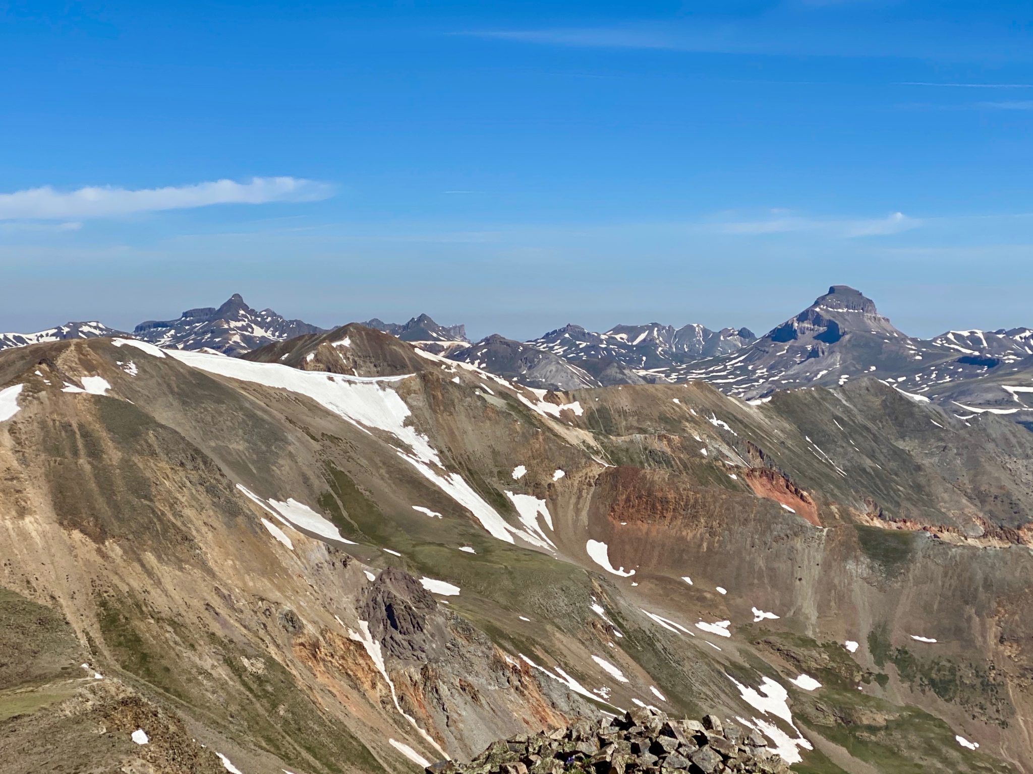
Uncompahgre & Wetterhorn.
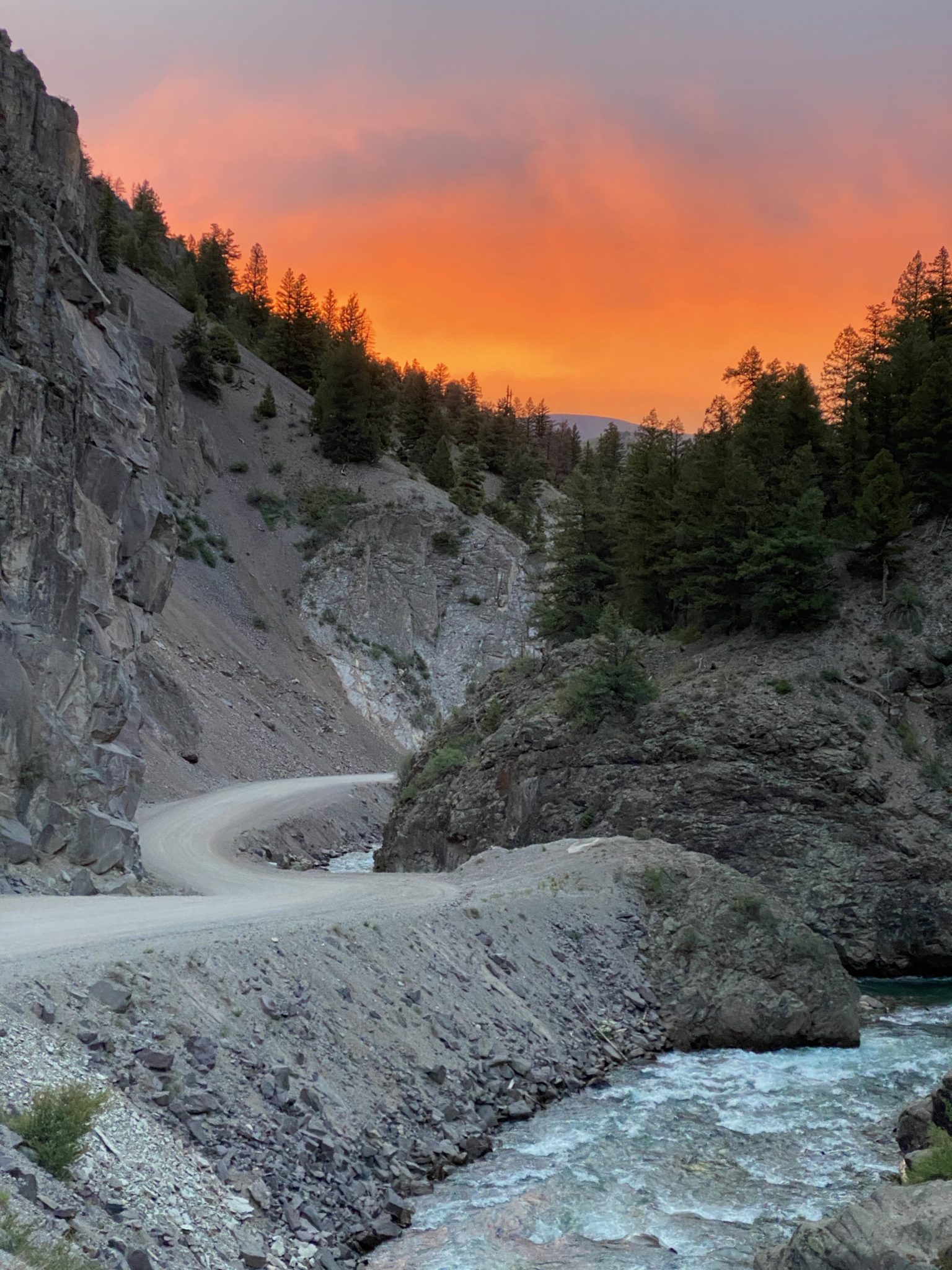
The road home.
With the peaks in check, all that was left to do was rejoin the trail and head out to the Williams Creek Campground. Again, this would follow the SJS course exactly, so I was happy to do it. After following my steps backwards for just a bit on the ridge, I was able to skirt the large southwest slope beneath UN 13,811 to easily find the trail.
Aside from a considerable amount of deadfall, the going was crusier in this section. So crusier, in fact, that I hit the Alpine Loop road about 20 minutes ahead of schedule. Not wanting to just sit around in the heat, I took the ‘try-hard’ option and jogged out two more miles until I eventually intercepted Katie on the road en-route to pick me up.
All that was left to do was some beach time at Lake San Cristobal!
I love the alpine best and all, but dang it if that ain’t pretty!
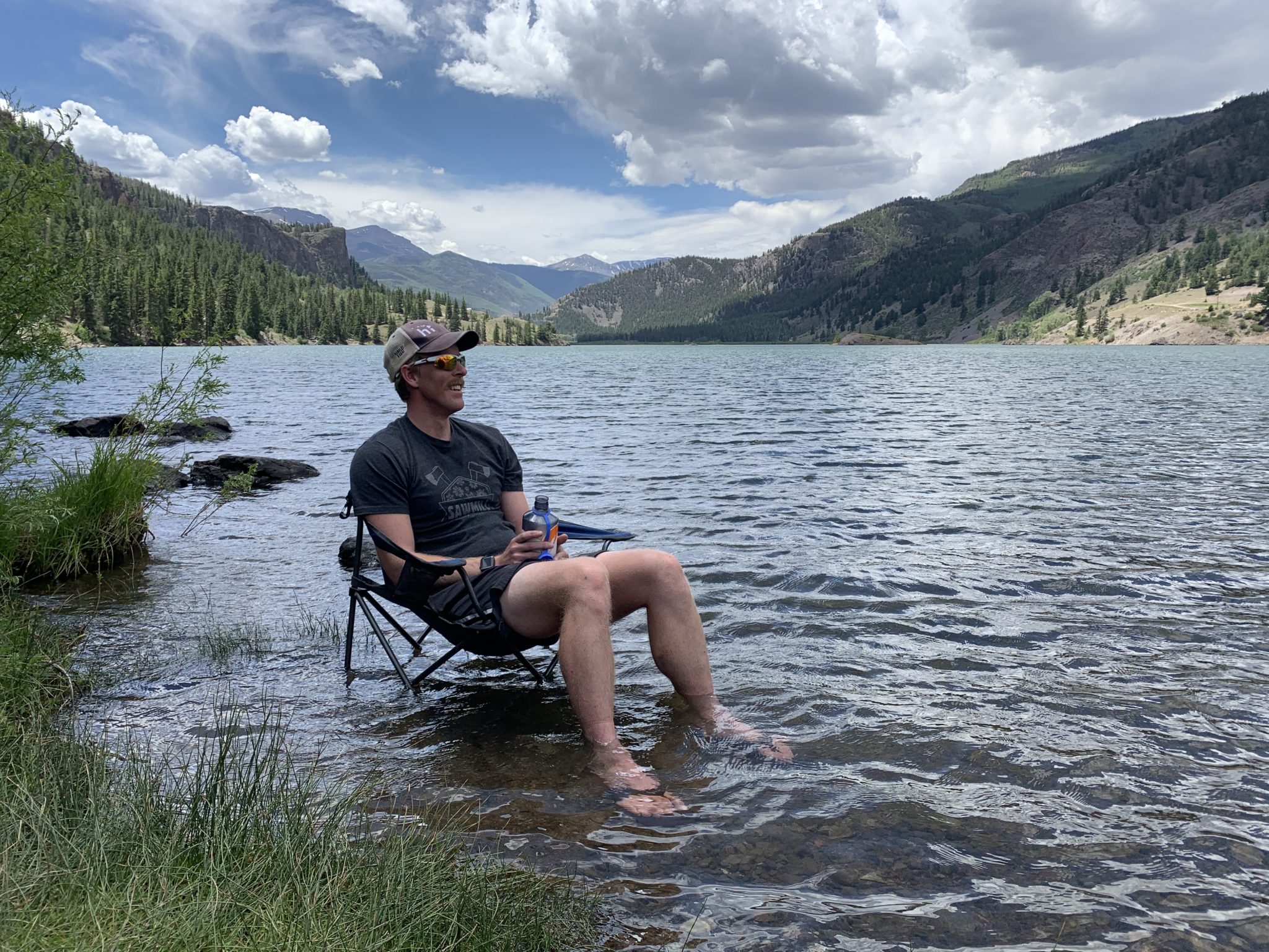
Lake City livin’
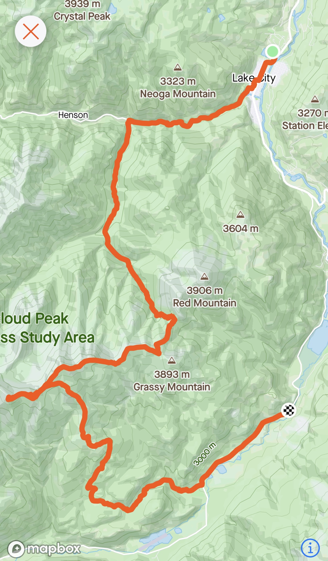
Full map of the day’s efforts.
Wow, beautiful pics!
Sweet outing man. Classic Lake City gaper slogging and amazing ?