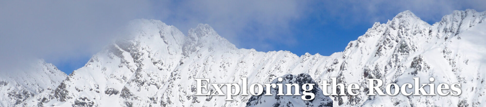
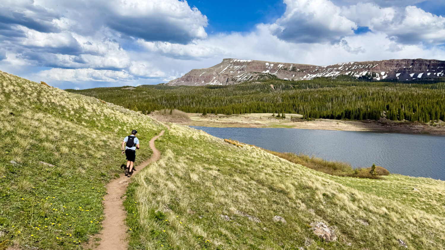
Descending the Lost Lakes Trail, Flat Tops Wilderness, Colorado. Click to enlarge.
Down to just a few weeks left until the San Juan Solstice, it was time to get out there for the final long run before the race. I’ve tried to stick to a general theme during training of finding scenic routes (ideally loops) in places bikes can’t go. On that note, I’d long wanted to head north to check out the Flat Tops Wilderness and its extensive trail system which seemed like it could fit the bill. I ran the idea past Dylan and as a big Flat Tops fan himself, he was instantly sold. Then he went to work mapping out the loop we’d ultimately wind up running, which clocked in at ~31 miles and 6,700 vert. Nice idea Dylan!
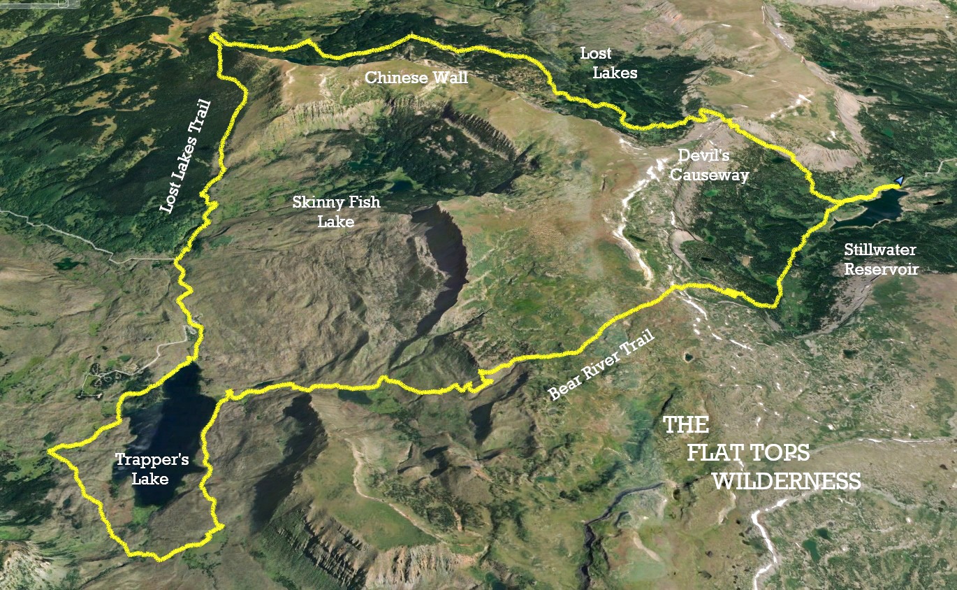
A map of Dylan’s loop, which we ran clockwise. Starting at Stillwater Reservoir we followed the Bear River Trail up and over the southern part of the Chinese Wall, down and around Trapper’s Lake. From there we headed north before looping back around through the Lost Lakes area, with a finish up and over the Devil’s Causeway Trail back to the truck. Click to enlarge.
Being a bit lower in elevation than other mountain regions we were hoping the route would mostly be dry. That turned out to be wishful thinking as in reality we were probably 2 weeks early conditions-wise. More on that later though.
We got going around 8am after the 2 hour drive from Edwards to Stillwater Reservoir. It was a near-perfect Monday morning with zero other cars in the parking lot. The sun was out, the smell of spring was in the air, and you could just tell it was going to be a good day. The first few gentle miles to the wilderness sign made for a great warmup.
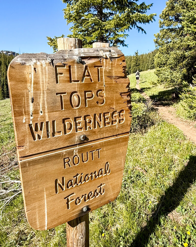
Welcome to the Flat Tops Wilderness, which I somehow had never once been to before.
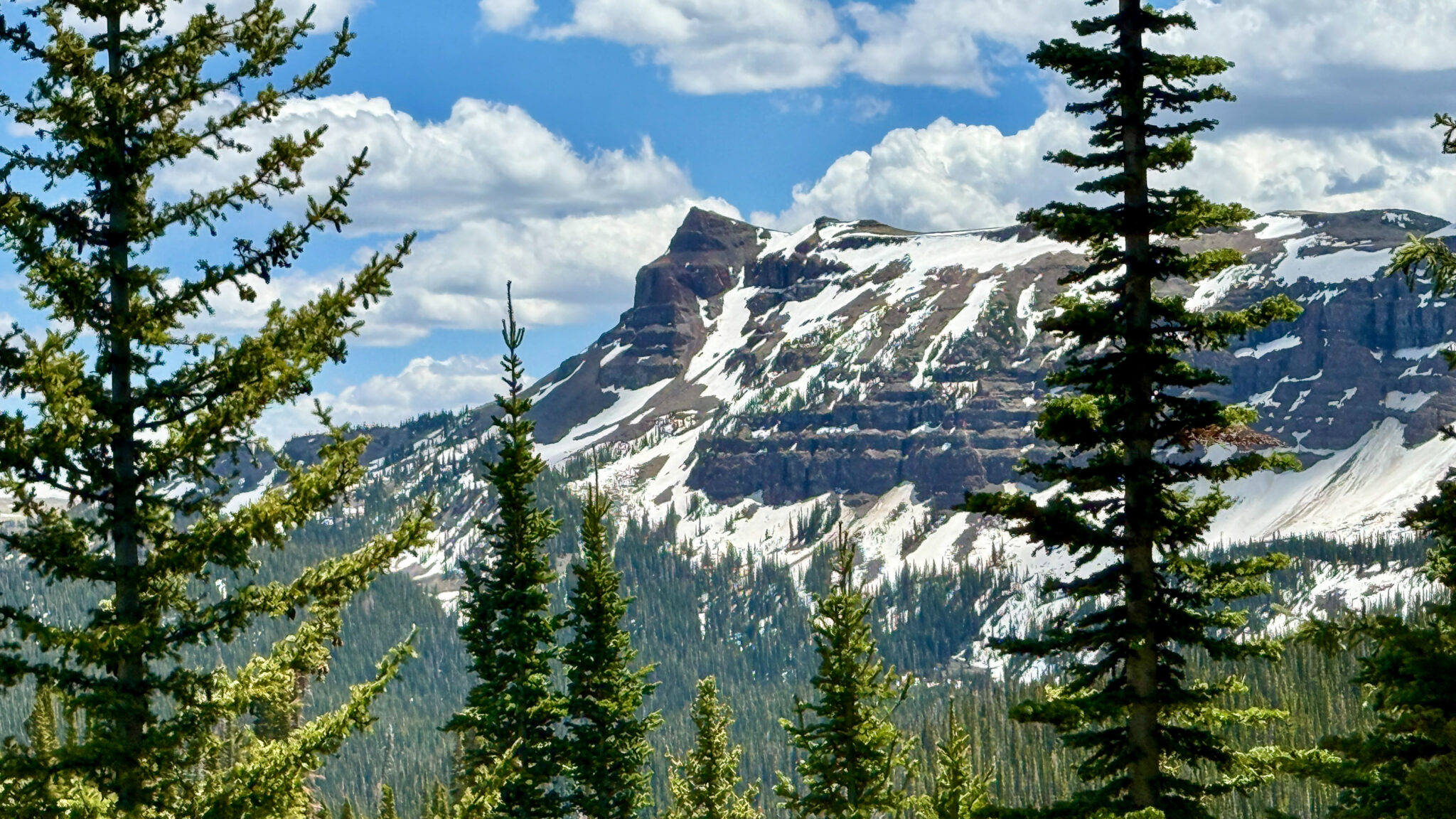
Designated in 1975, the Flat Tops Wilderness Area is the 3rd largest in Colorado. It is home to 110 unique lakes and ponds, and stands out for its large, flat plateau features guarded by sheer cliffs interspersed among lush depressions and valleys. It’s a unique area that makes one think more of Wyoming than Colorado, which I suppose is fitting given how far north it is.
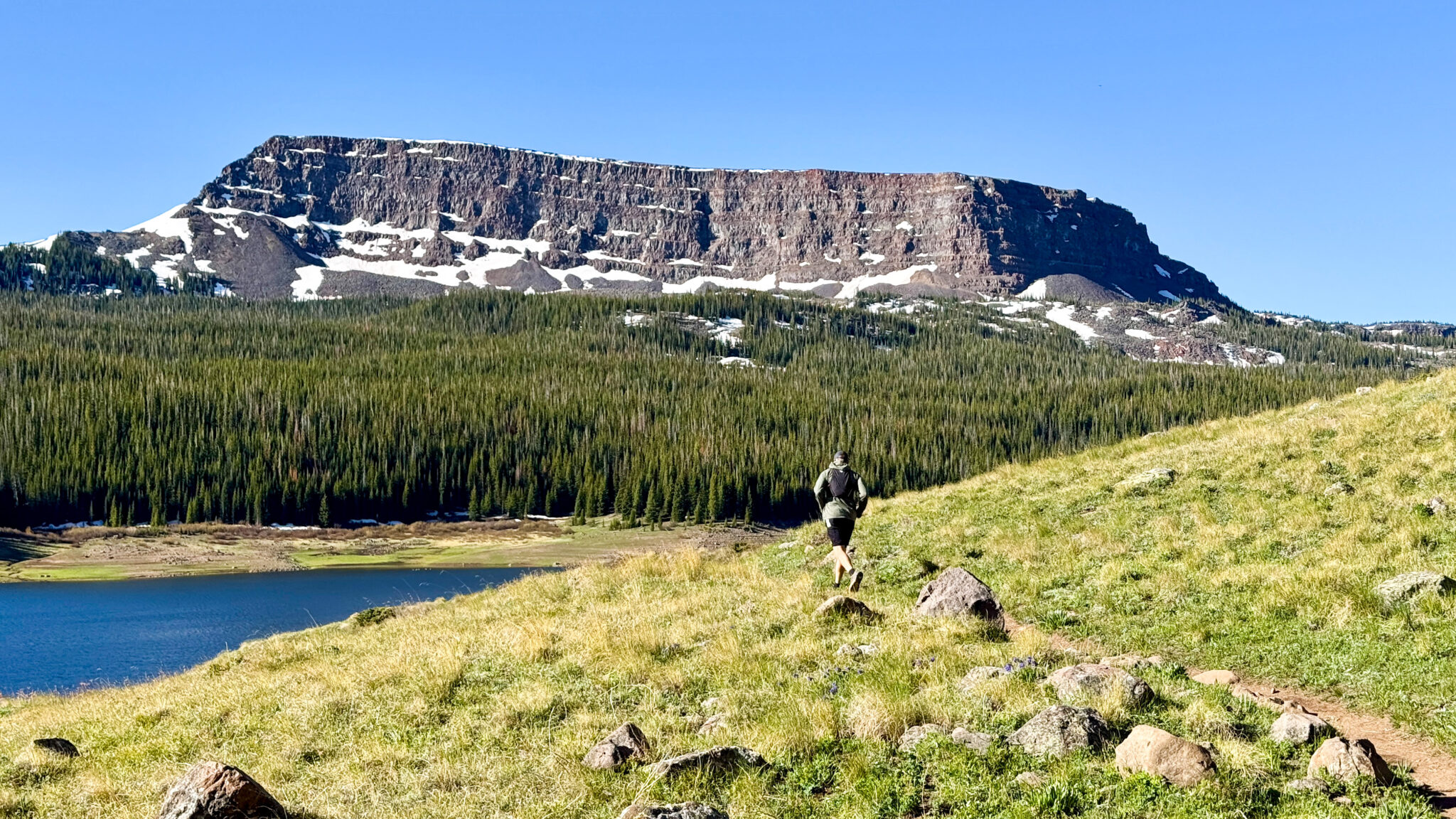
Blue lakes, green forests, and snow still melting off the flat tops. Pretty tough to beat.
Early on Dylan and I set a decent pace and seemed to be within each other’s range, which is always a good omen for a wilderness long run with a single partner.
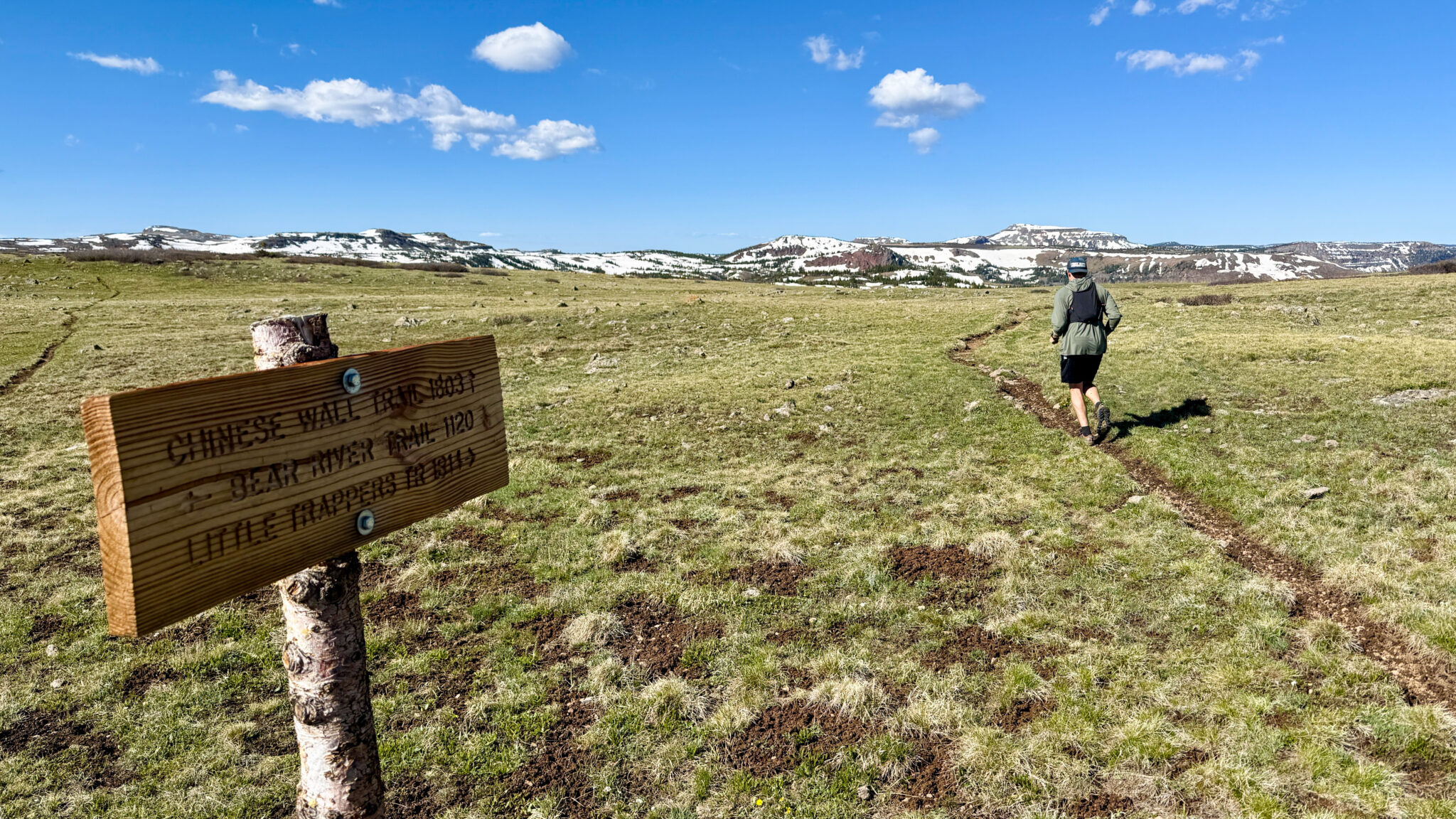
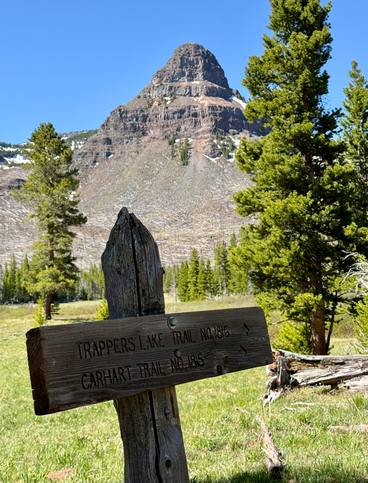
The intersection with the Chinese Wall Trail at 11,400 feet.
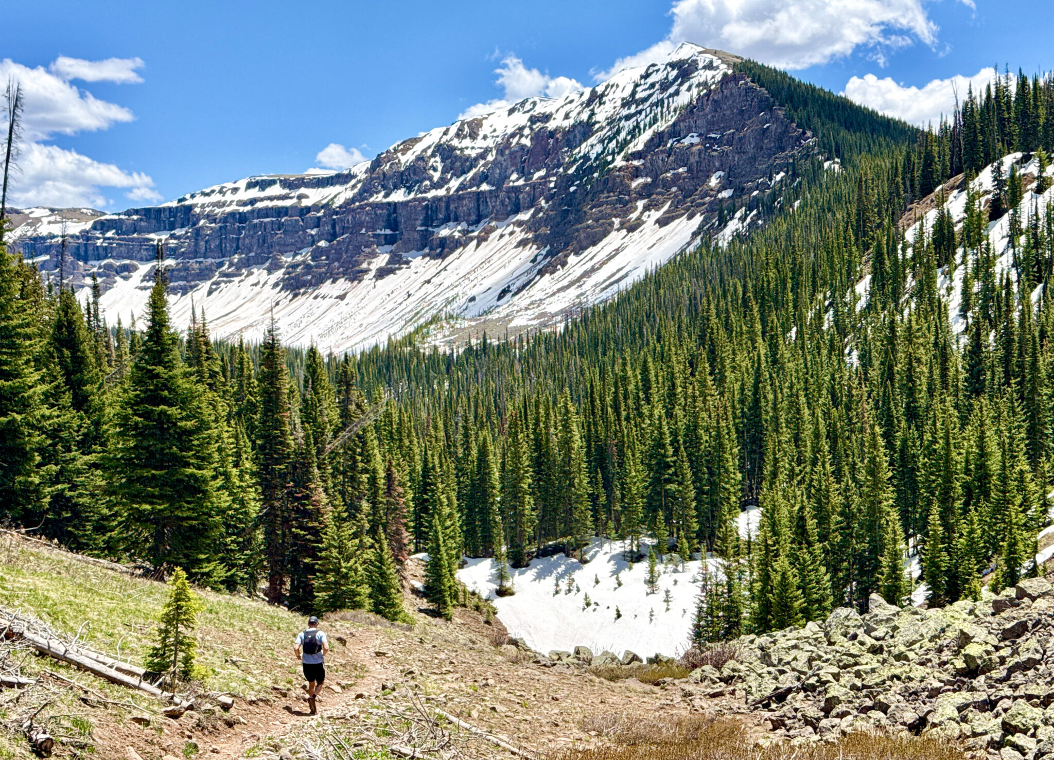
From the top of the plateau the route drops around 1,800 feet down to Littler Trapper’s Lake. This area resembles a page out of Dr. Seuss’s “The Lorax” with thousands of downed trees littered across the landscape in every direction, remnants of the Big Fish Fire which burned through the region in 2002.
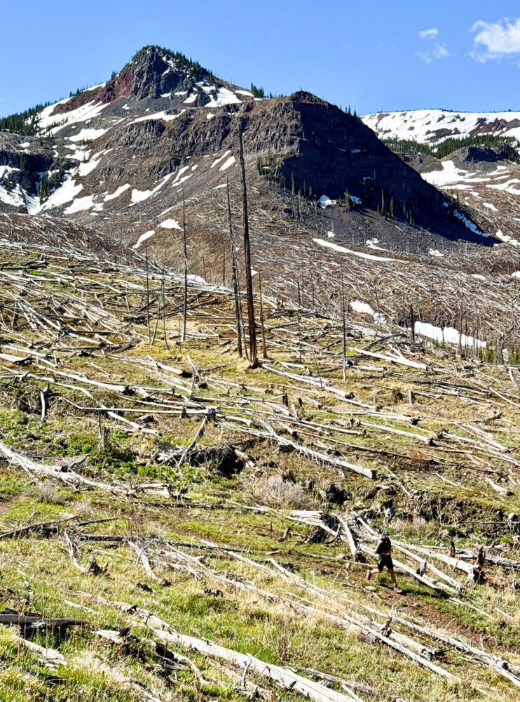
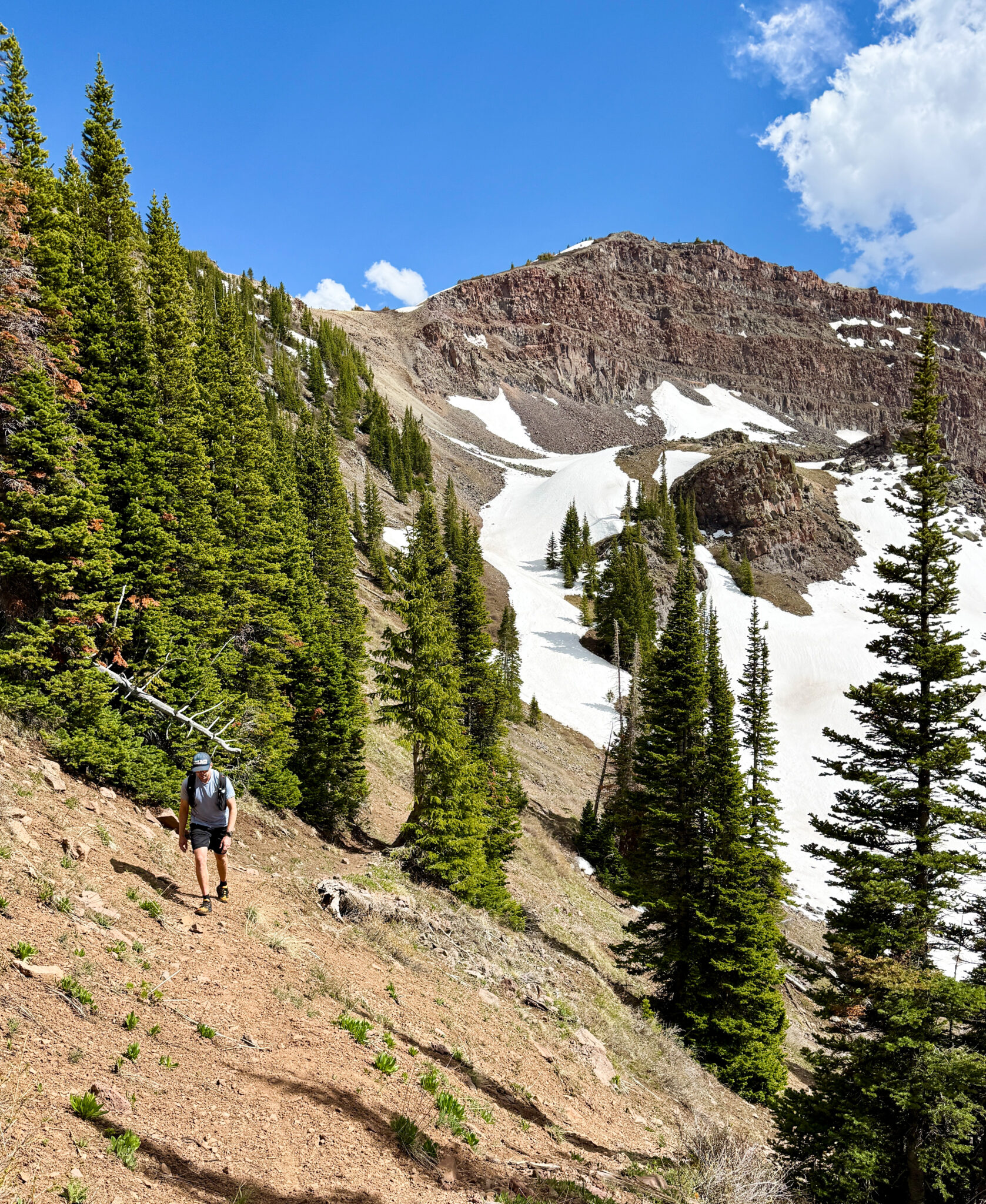
Dylan on the first big descent of the day. Despite all the downed trees, the trail is well-cut/maintained through here.
We rounded the corner and hung a left on the Carhart Trail, which circumnavigates Trapper’s Lake, before heading back north underneath the flanks of Flander Benchmark (11,493 feet).
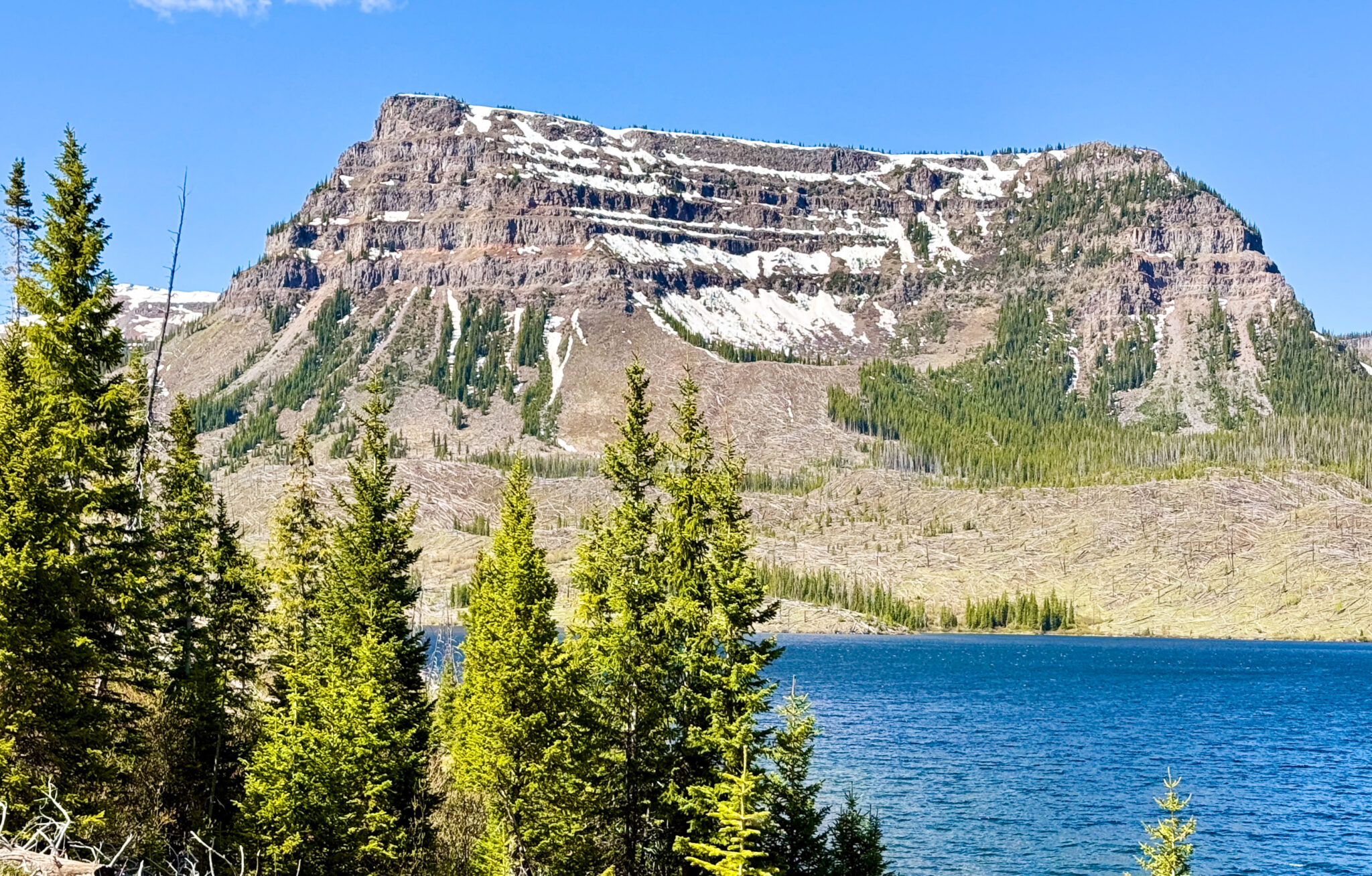
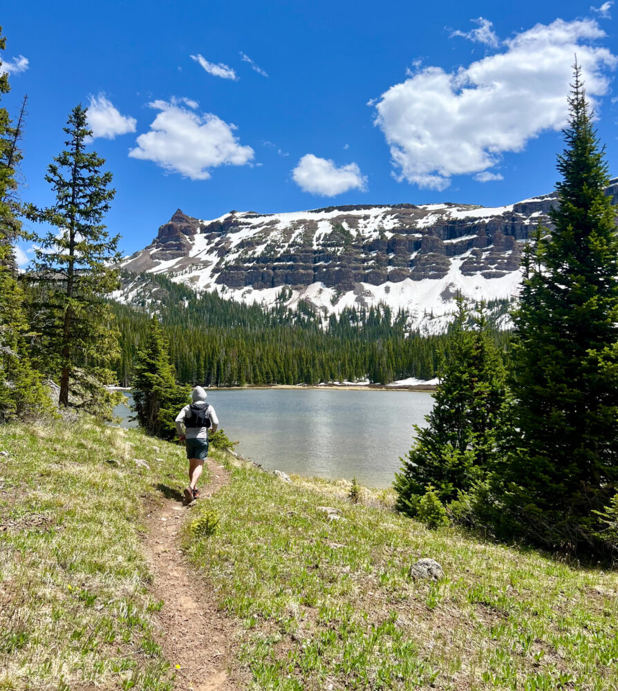
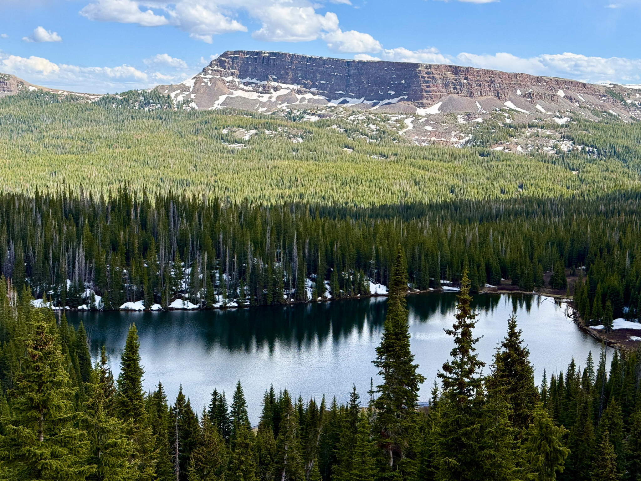
Trapper’s Lake, which is home to the largest population of Colorado River cutthroat trout in the state. Click to enlarge.
At the south end of the lake before turning north again.
As the day started to heat up, we took a long break to filter some water and eat some food. Eventually we came upon the Lost Lakes Trail and began the second sustained climb of the day up the west side of the north ridge dropping down off the Chinese Wall. Here we ran into snow for the first time all day, and before long it was clear we were in for a bit of a haul through a few miles of intermittent snowbanks leading up to the ridge line.
Dang it.
Views into the Lost Lakes area before turning the corner and dropping southeast off the ridge. Click to enlarge.
Here the route changed character again as we dropped down into the lush Lost Lakes basin. The trail winds and weaves around 7 named lakes through this section, with the north face of the Chinese Wall looming large up above for over 10 miles.
Passing by East Lost Lake. Photo by Dylan.
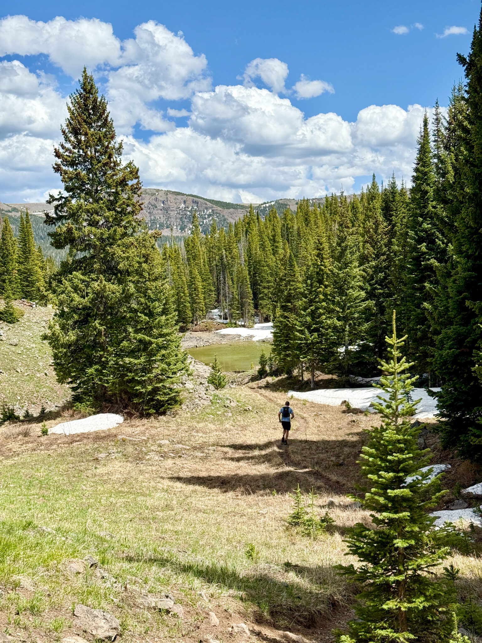
Further along, somewhere in the vicinity of Round Lake.
We pit stopped again for another water refill and bite to eat. As the route turned south the forests thickened and we began running into snow again. For the next 5 miles or so we got a clinic in choosing to either posthole through a snowbank or schwack through the forest around it. Suffice it to say, we ended up doing a lot of both.
On the final climb out of Lost Lakes. That’s the Devil’s Causeway in back.
The last sustained climb was of course the steepest and most demoralizing one, but at this point in the day we didn’t care and were just ready for a beer and flip flops. Lucky for us, from the top of the ridge we had nothing more than a 2 mile, 1,300 foot descent back to the truck.
Little Causeway Lake on the final descent. A vintage Flat Tops scene. Click to enlarge.
Less than a mile left to go.
We coasted across the finish line ~8.5 hours after we started, which we both felt was a decent time given all the snow we encountered. We could’ve been a few weeks later and the entire route would’ve been cruiser, but spring long runs are often tough to time even in low snow years. Overall it was a fine introduction to the Flat Tops Wilderness for me, and made for a perfect long run in a beautiful area of the state that I know I’ll be returning many times in the future. And it was great to get out on a big day like this with Dylan, who’s always somehow even busier than I am every summer.
Next up, another go at the San Juan Solstice this upcoming weekend. It’ll be my first 50-miler in 4 years. We’ll see how she goes…
Nice, Ben. I was just talking to someone recently about the hidden gem of the Flattops. Way to make it out there. And good luck on the Solstice. You’ll crush it as usual, I’m sure!
Thanks Zam! Flat Tops are sweet for sure. Funny how one can live and recreate in this state for so long and still find new places that are worth visiting. And as for the SJS, I’m 4 years older and 8 lbs heavier than the last time I ran it so we’ll see how it goes 🙂
Looks like a sweet loop. I need to check this area out some day! Good luck with the race, amigo
Thanks Jason! Hope you guys are doin good man. Any plans to visit Colorado this summer?
We’re in CO Aug 6-16, would love to connect. Any interest in the LA Freeway? I think Steve is into it.