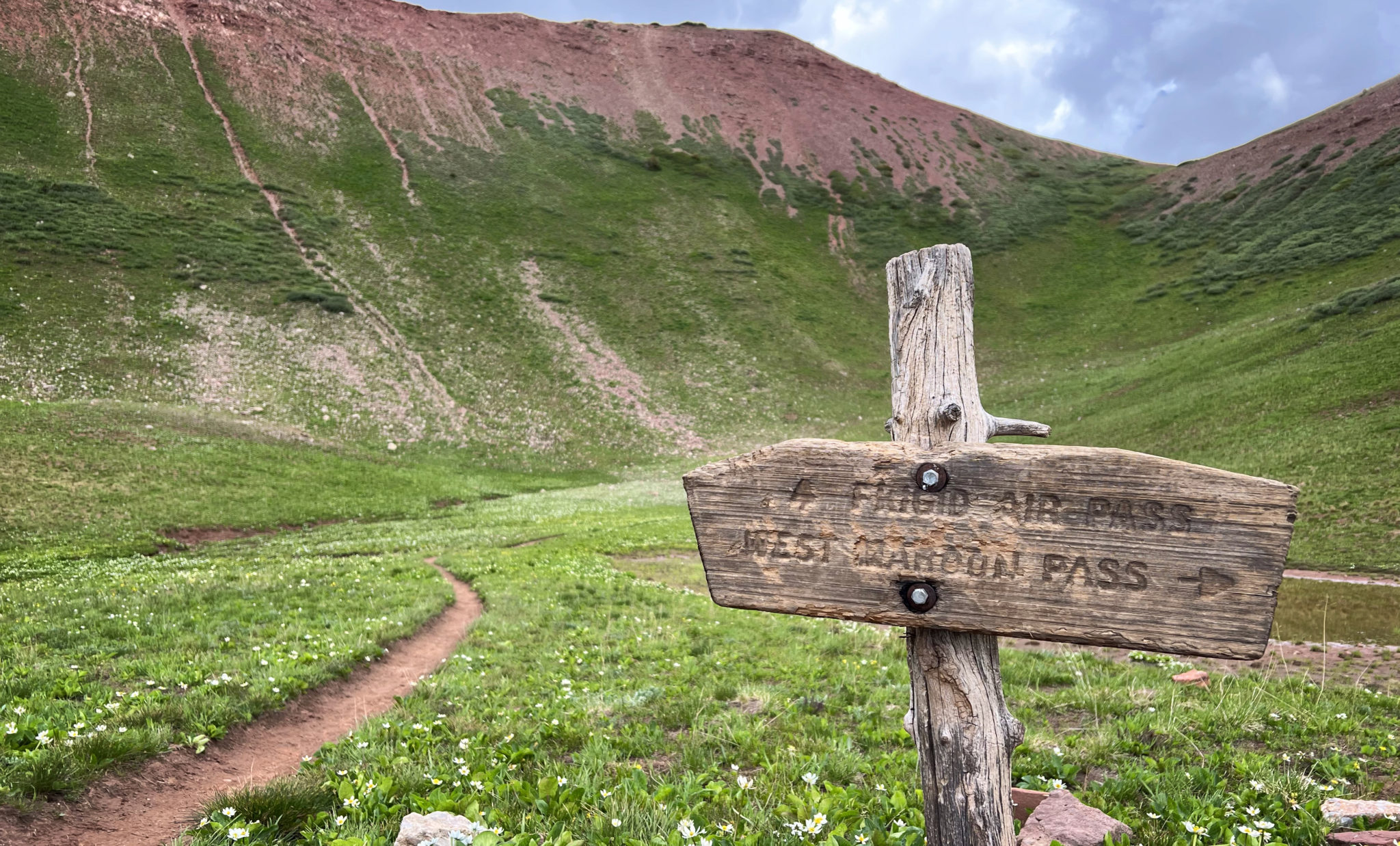
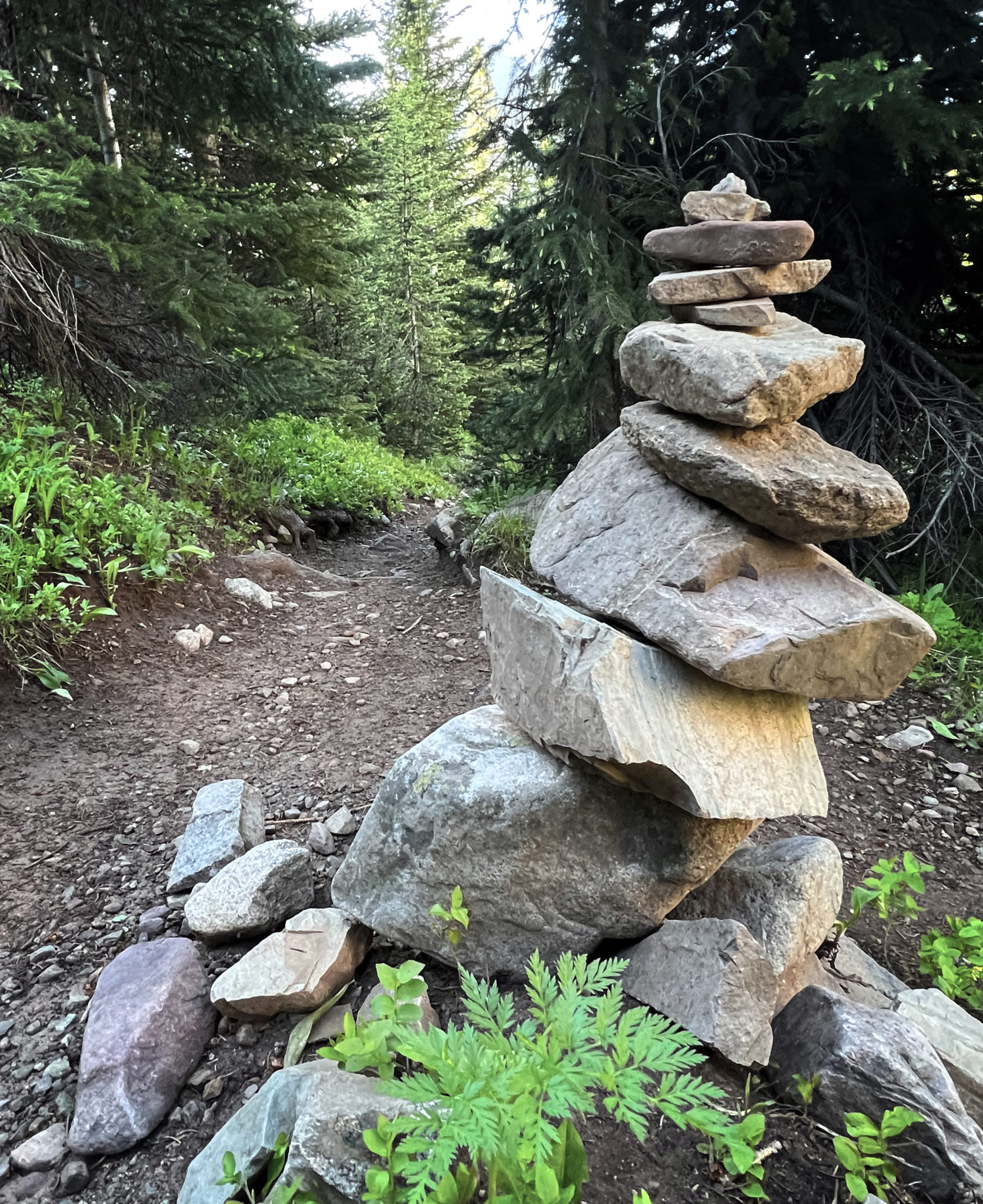
At the Frigid Air/West Maroon Pass trail junction, July 2nd.
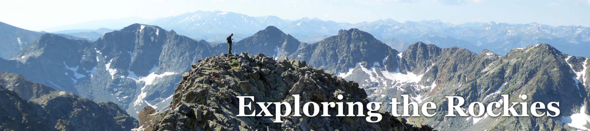
At least once a summer for the past few years I’ve made an effort to head over to the Roaring Fork Valley and run something cool around Aspen. There are just so many loops and connections available throughout the Elks, all you have to do is spend a few minutes with a trail map and you’re almost guaranteed to come up with something interesting (a few other examples are here and here). This time around I decided to finally pull the trigger on the uber-classic Four Pass Loop, a route I had backpacked in 2014 with Anna-Lisa and several friends of ours but had never tried to complete in a single day.
The Four Pass Loop might just represent the pinnacle of wilderness trail running in the entire state of Colorado, if not beyond. It’s just such an aesthetic, flowing loop that takes on, as the name suggests, four unique passes and five or six different drainages along the way. The scenery is top notch and the trails are high quality. The only downside that’s emerged in recent years is the area has gotten so loved, the only solution for long-term preservation was to implement a permit system. A reservation is now required to park at the Maroon Lake trailhead, the traditional start and end point for the route, and things are set to get even tighter as early as next year.
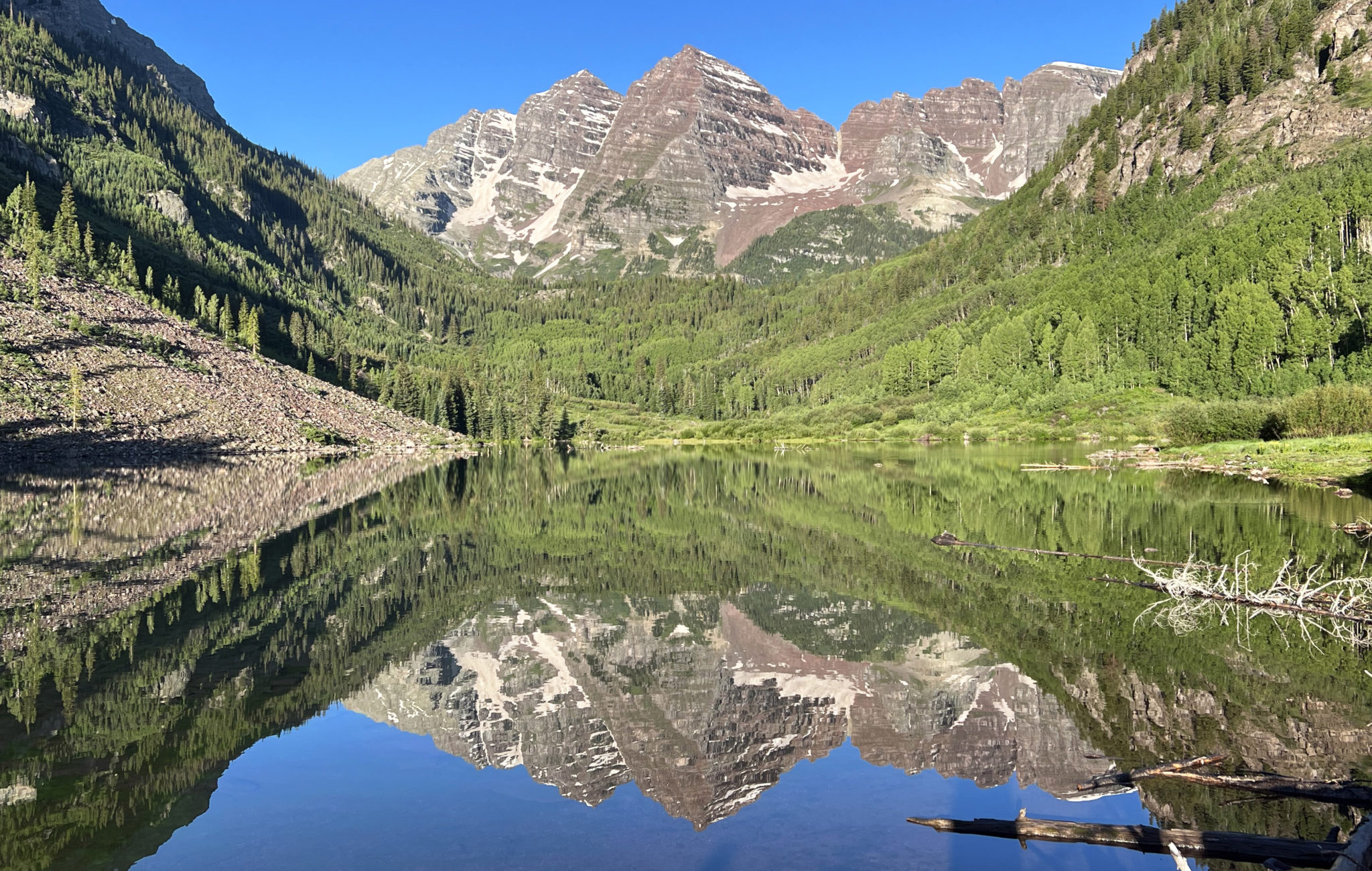
The Bells reflecting off Maroon Lake on a gorgeous July day. Click to enlarge.
A few words on that. For most of us the natural reaction to permit systems is to balk, which makes sense as they are just an added step to being able to enjoy our public lands which should be public. They also act as a reminder of the reality that the population of this state has exploded over the past 15+ years and is only going to continue to grow.
That said, there are also a few upsides to permit systems. They tend to push many who aren’t committed to a particular goal into other areas that are easier to access. As much as this is a bummer for people it’s undoubtedly good for the area in question. In the case of Maroon Lake, once you obtain a permit you’re guaranteed a parking spot which wasn’t necessarily the case previously, and you’ll generally find less people on the trails beyond Crater Lake as well. The latter point will be especially true should the Forest Service implement overnight permits for the Four Pass Loop which seems likely and imminent. At any rate, moving on…
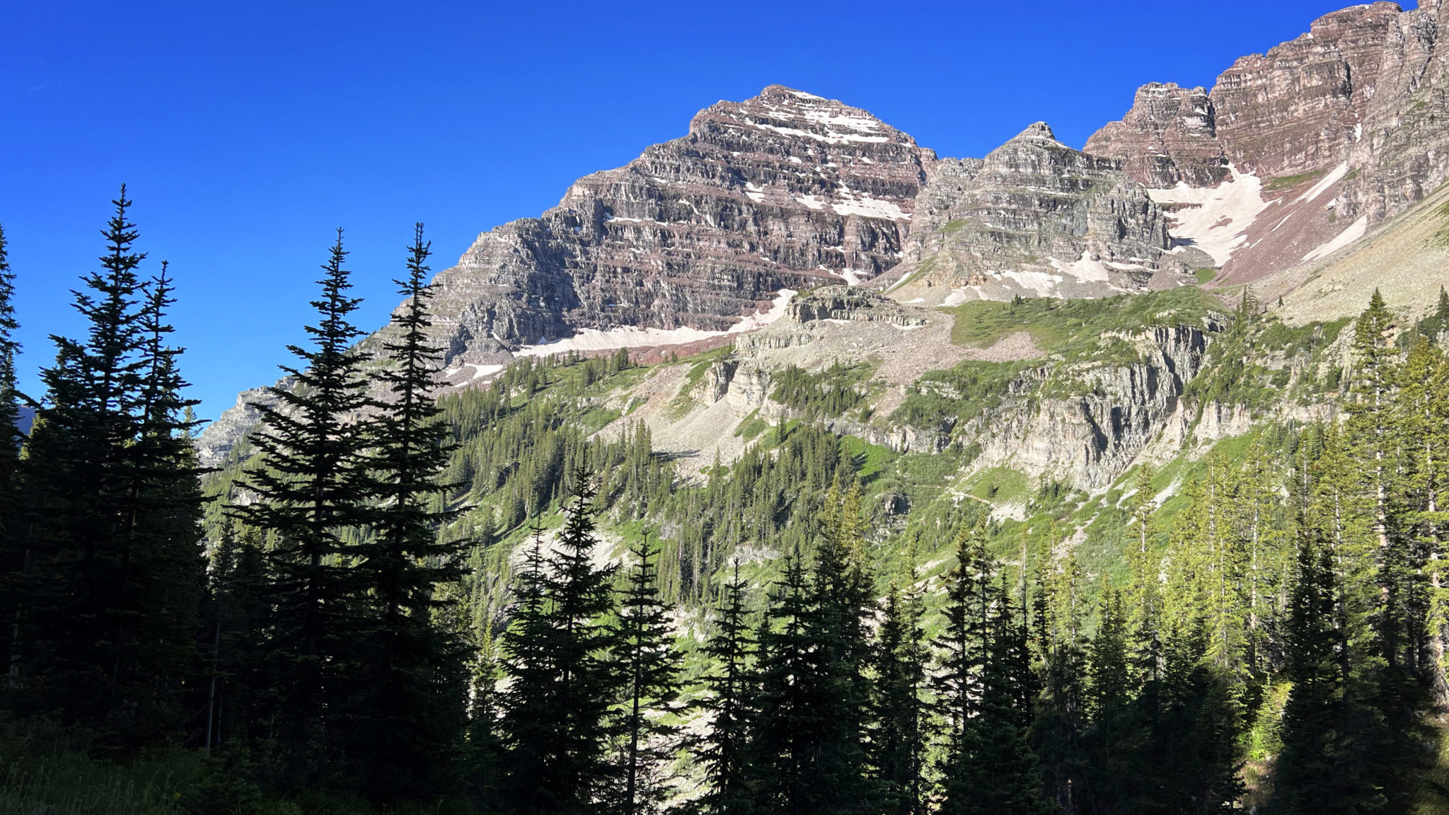
The north face of North Maroon seen from the Buckskin Pass trail.
It seems that normally the loop is run in the counterclockwise direction starting with Buckskin Pass. This makes sense in that it puts you up and over the highest pass first and has you descending off the more gradual West Maroon Pass later in the day. This is the direction I chose to go mainly for these reasons but also to change it up as we backpacked in the clockwise direction in 2014.
Nearing tree line in Minnehaha Creek.
I made quick work to the top of Buckskin Pass which still had a large snowfield/cornice guarding the final 50 feet to the top. From there it was down the first big descent of the day into Snowmass Creek. It’s a fairly gradual descent with numerous switchbacks and solid scenery throughout. After crossing the creek Snowmass Lake isn’t much further beyond, as well as the start of the next climb to the second pass of the day.
The initial descent off Buckskin lends great views of Snowmass and Capitol Peaks in the distance. Click to enlarge.
Heading up towards Trail Rider Pass now. That’s Snowmass Peak and Mountain in back.
Good trail through here.
A few lingering snowfields made the ascent up Trail Rider a little more time consuming than it would’ve otherwise been, but nonetheless I made the pass about 3 hours in and took a short break to refuel and rehydrate.
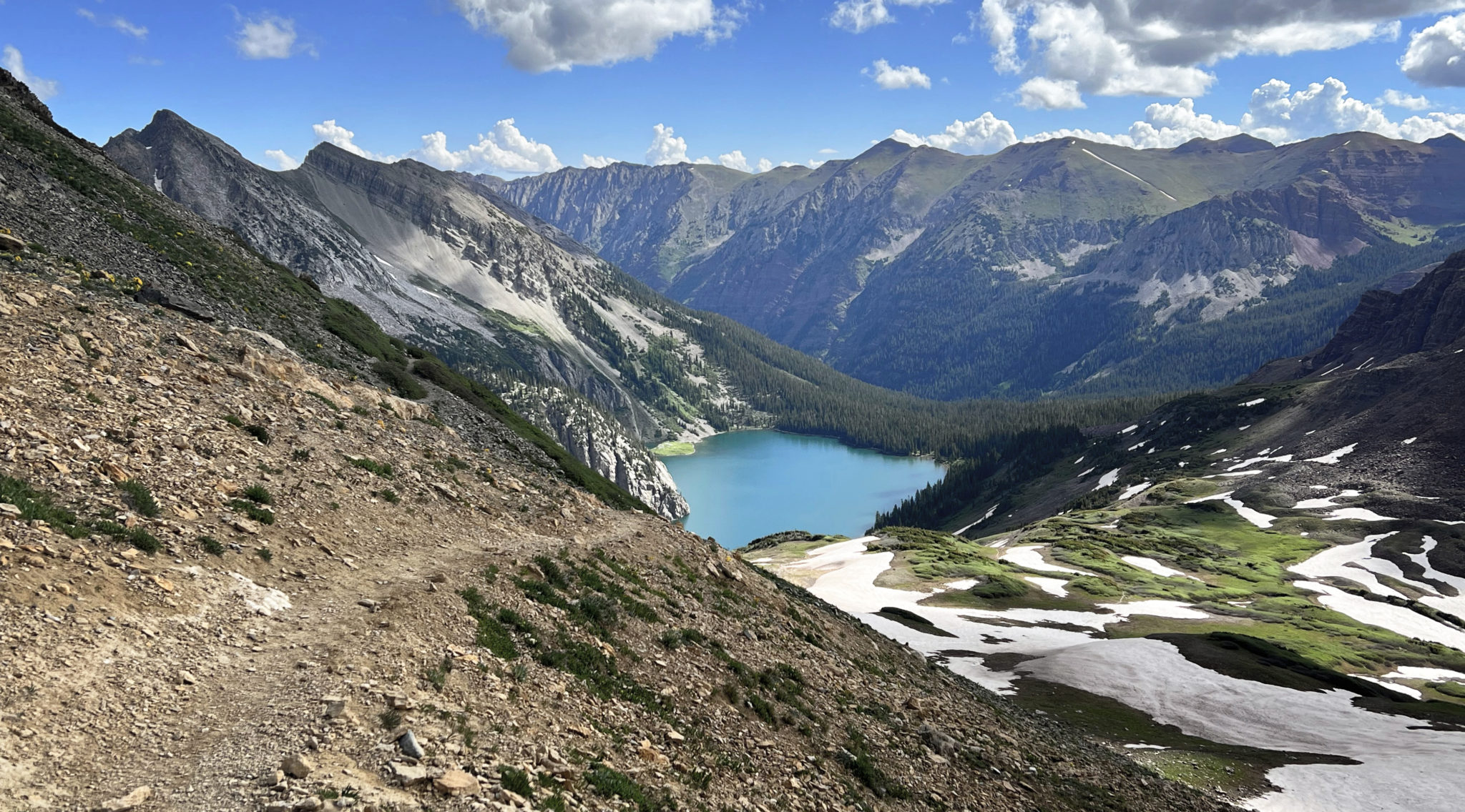
Trail Rider Pass looking back down at Snowmass Lake. Click to enlarge.
Dropping off the far side of Trail Rider means you’re truly committed, as it’s over 7 miles and 2,200 ft of climbing though Fravert Basin to the top of the third pass from there. I’d say this would be the last logical turnaround point if you’re not intent on finishing the entire loop for some reason.
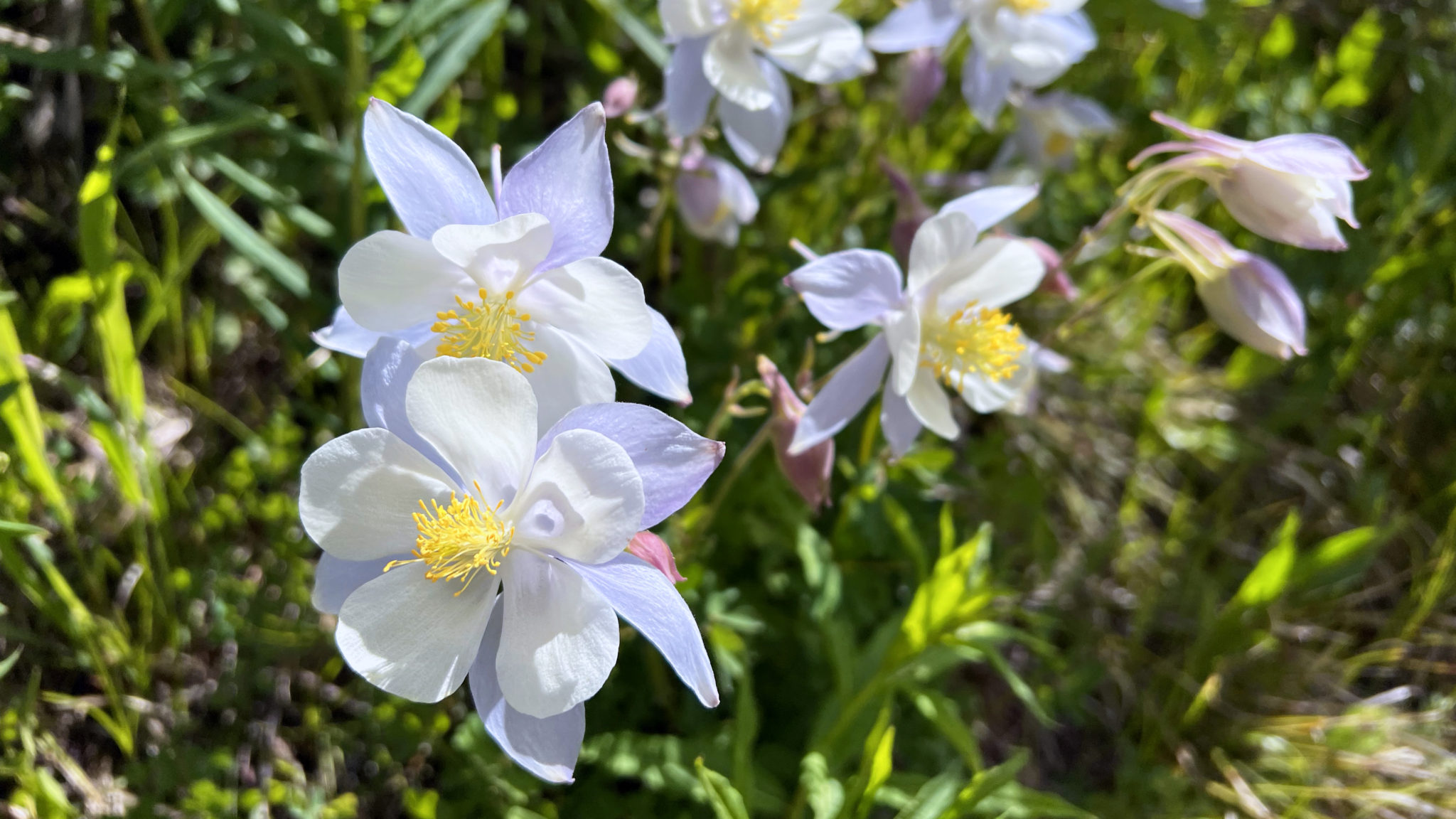
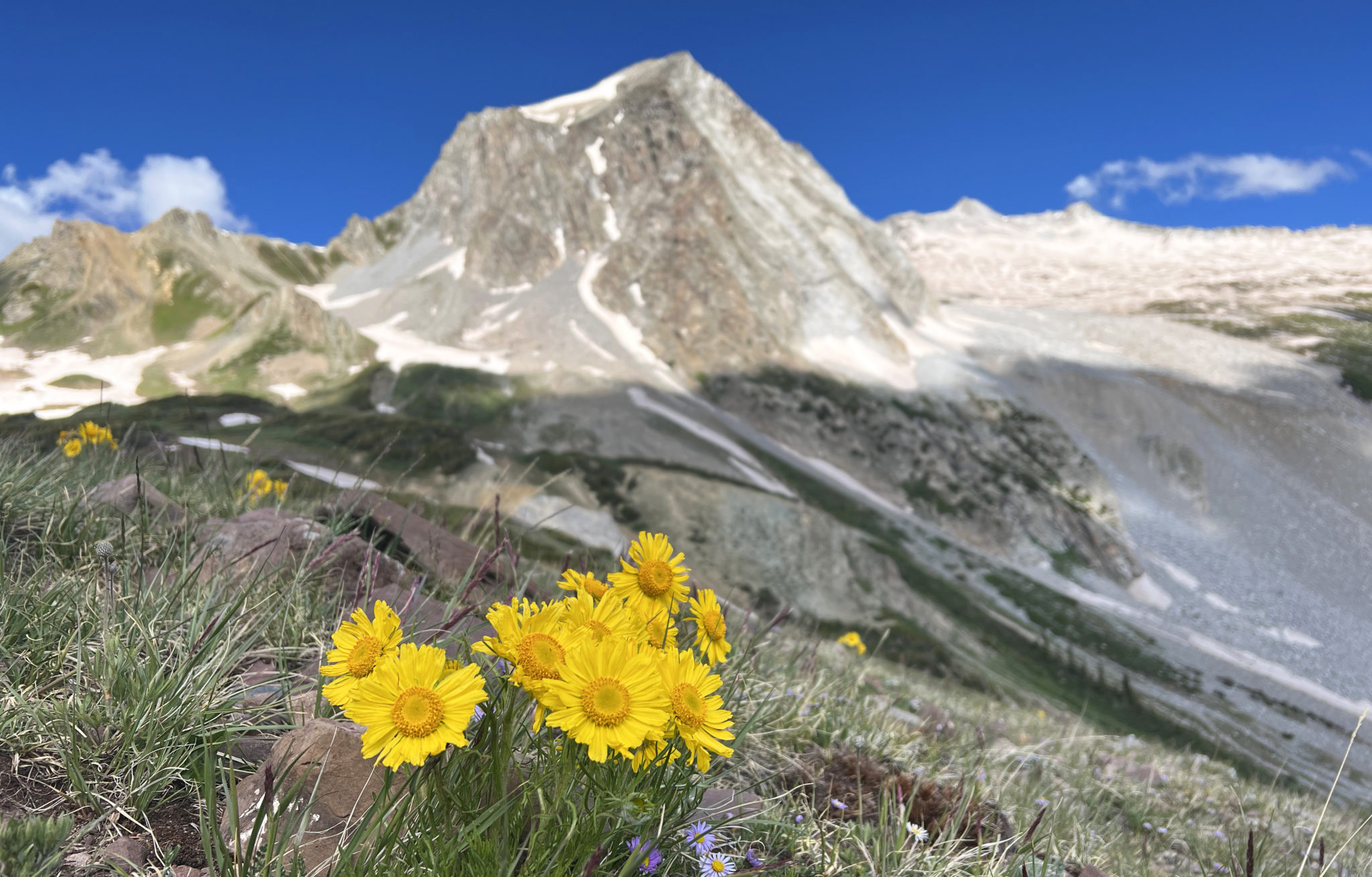
Blooming Columbine in Fravert (aka “Forever”) basin.
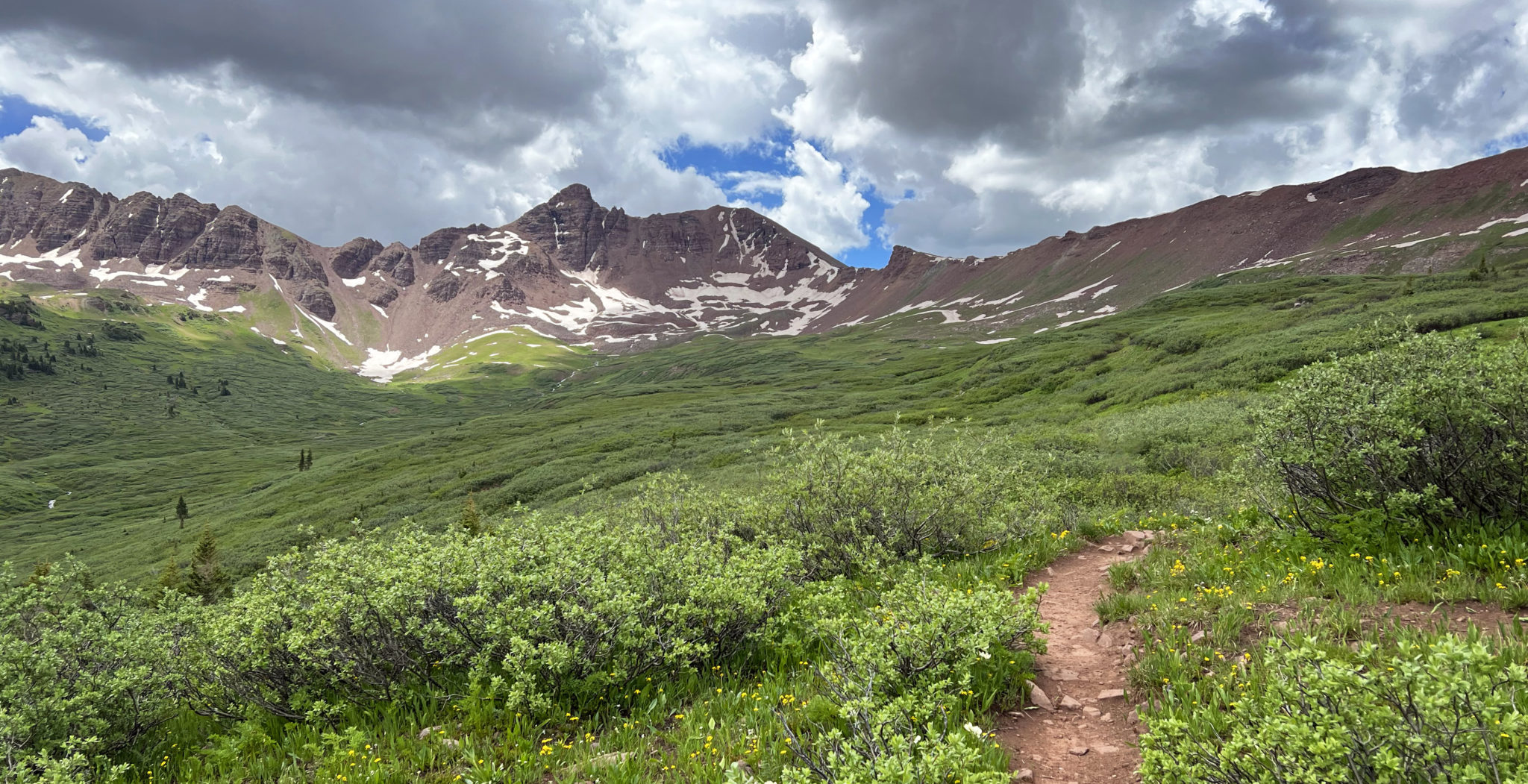
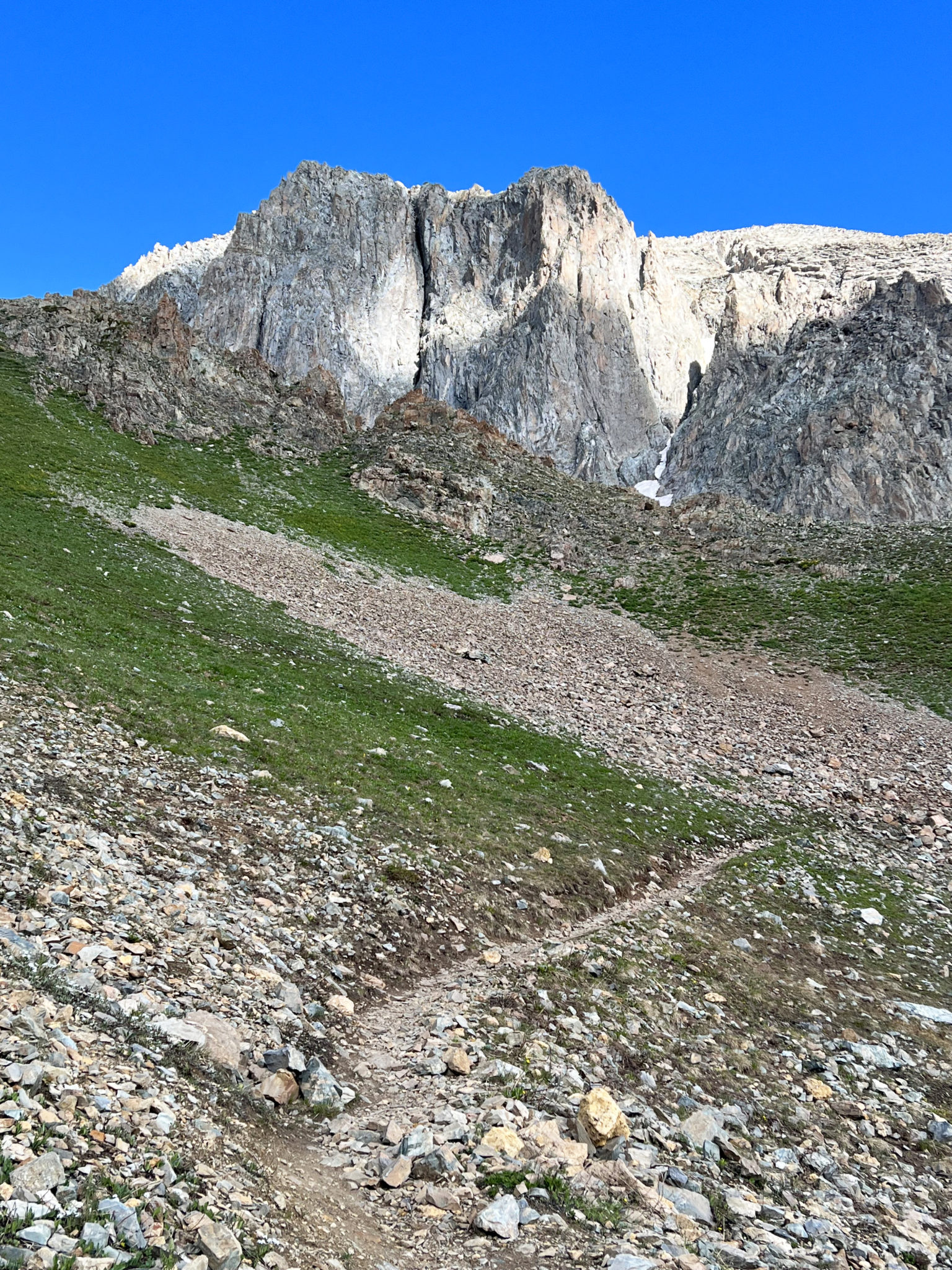
Upper-Fravert with Belleview Mountain off in the distance and Frigid Air Pass up to the right.
Fravert takes some time to climb through and it marks the low point of the loop not including the first few miles between Maroon and Crater Lakes. As afternoon clouds began to build I continued to push the pace up through the steep headwall that bisects the basin. After passing our night two campsite from 2014 I popped out above the trees in the upper-basin and finished off the switchbacks to the top of Frigid Air not long after.
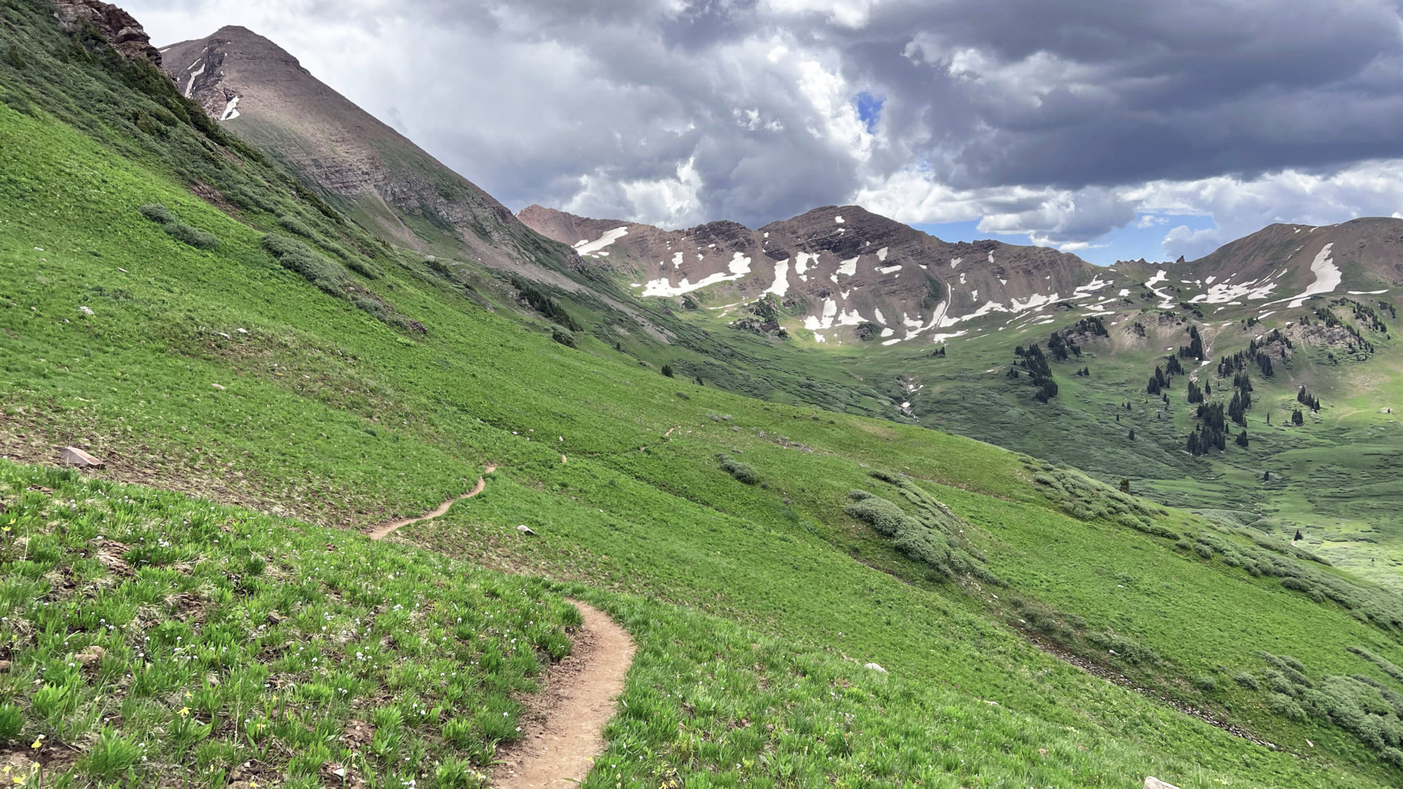
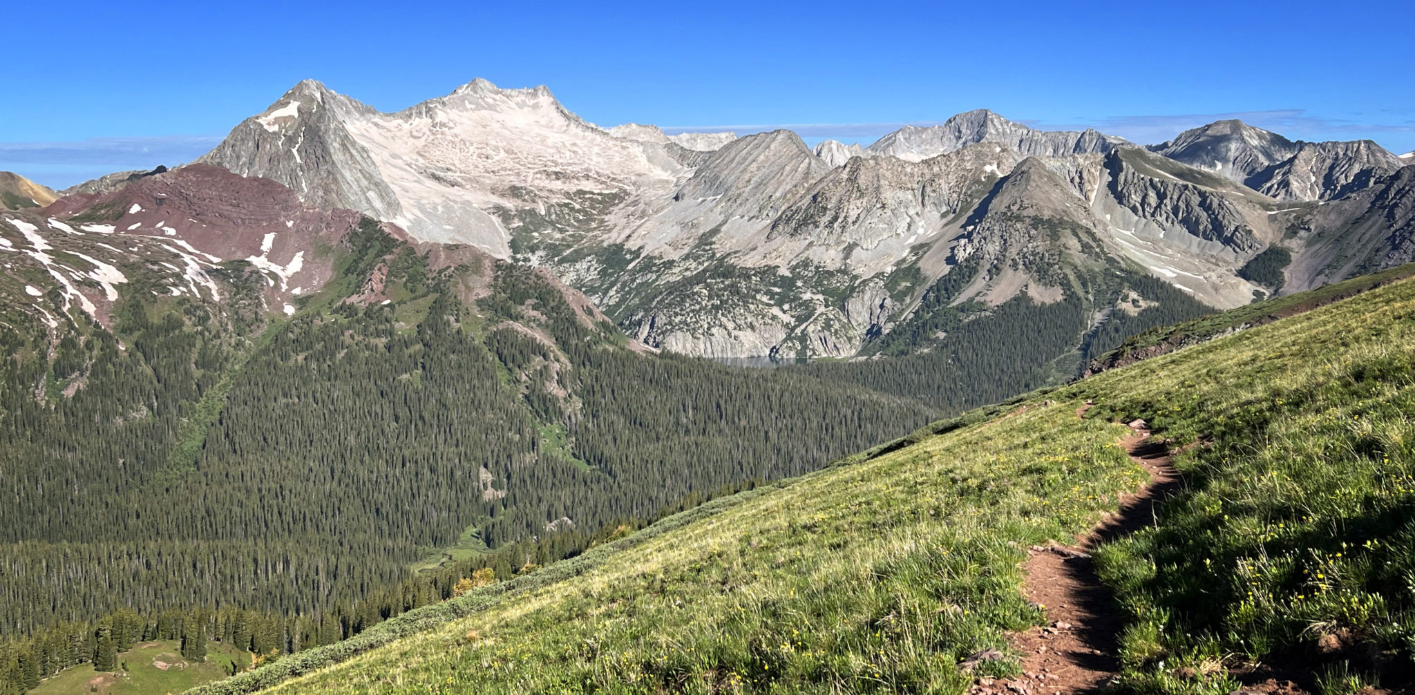
Off the backside of Frigid Air now with West Maroon Pass in the distance. The landscape was super green through this section. Click to enlarge.
After dropping off Frigid Air, a few miles on a slightly rolling singletrack capped off by a short climb had me to the top of West Maroon Pass. The traverse between the two passes is so high they are almost essentially the same pass. Though still not exactly close to the end, it was nice to have nearly all of the elevation gain for the day over and done with.
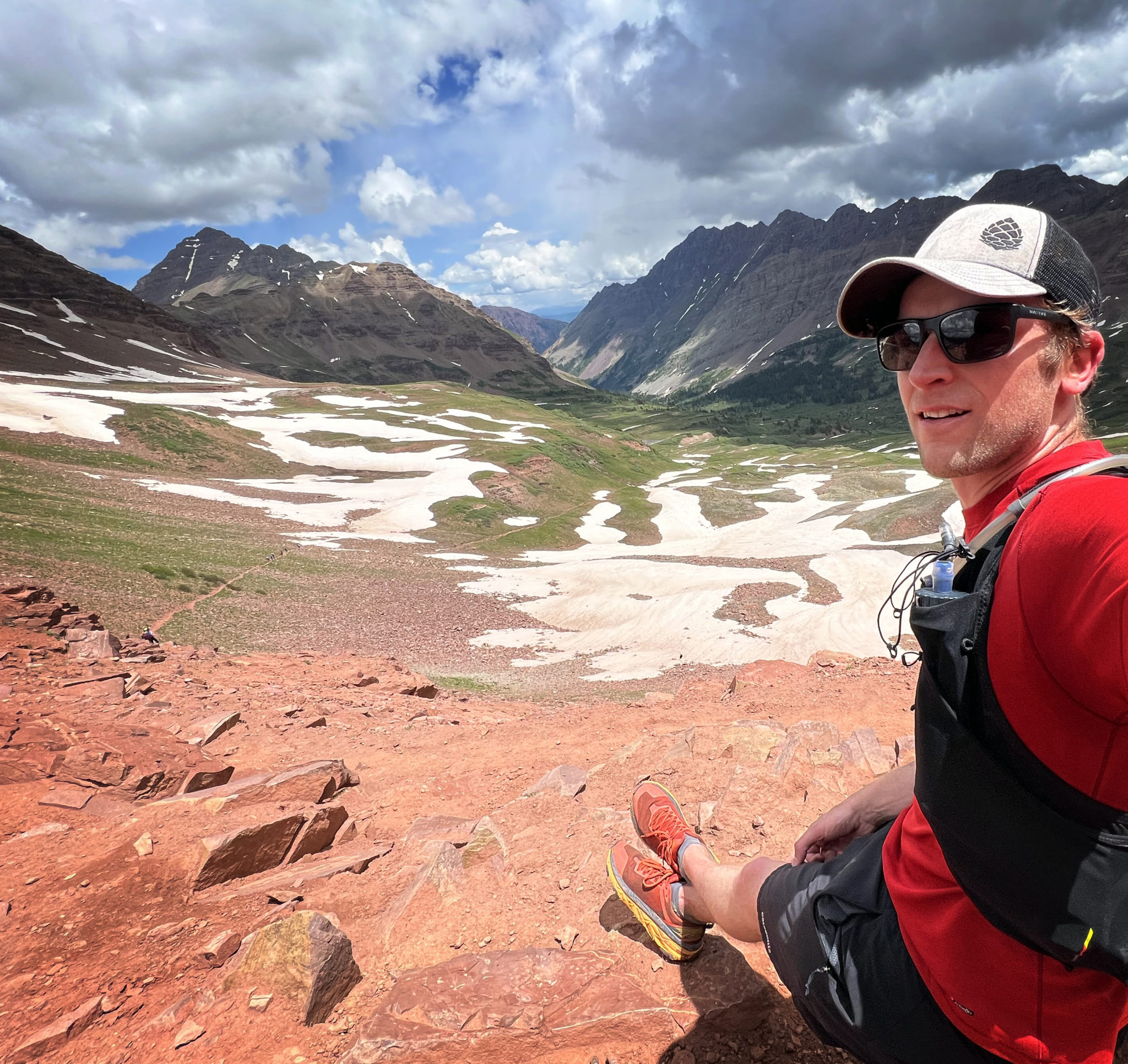
West Maroon Pass with the long Maroon Creek valley down below.
It’s about 7 miles from West Maroon back to the parking lot, but it’s almost all downhill and also pretty gradual. As I neared the trail split for the standard route on South Maroon Peak it started raining; a nice cool drizzle that felt great and also had the effect of clearing out some of the crowds between Crater and Maroon Lakes. A few more miles spent chatting with another runner and I hit pavement pretty much right at the 7.5 hour mark. Not an incredible time for this loop based on what I’ve seen but not bad either. Here’s a little video recap of the day based on my GPX track:
All in all, I can’t say enough about this route. Probably more so than any other route I’ve ran it just begs to be revisited, so I have no doubt I’ll be back and next time hopefully with friends 🙂
Happy Fourth of July!
Great loop, Ben! This one is on my list. So many!
I’m amazed you haven’t done it yet, Steve! Definitely a CO classic, just have to jump through a few more hoops than in the past.
Looks awesome, Benny. Sad to have missed it but glad you got the miles in.
I never know what to think about the permitting thing. On the one hand, I too cringe at the thought of permits on supposedly public land. But on the other hand, I know all too well what a shit show it can be, especially as fire danger ever-increases.
I have no good answers, other than to just muscle it out in a day!
Thanks Zam! Yeah I think that’s the best answer these days to be honest. I also found running it to be easier than backpacking it, and there’s something cool about seeing the entire thing in one shot too.