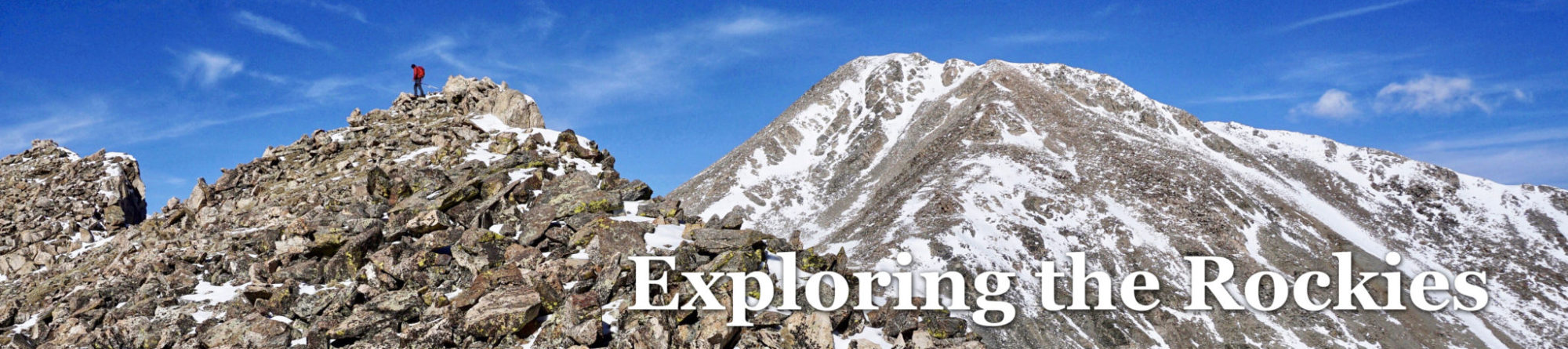
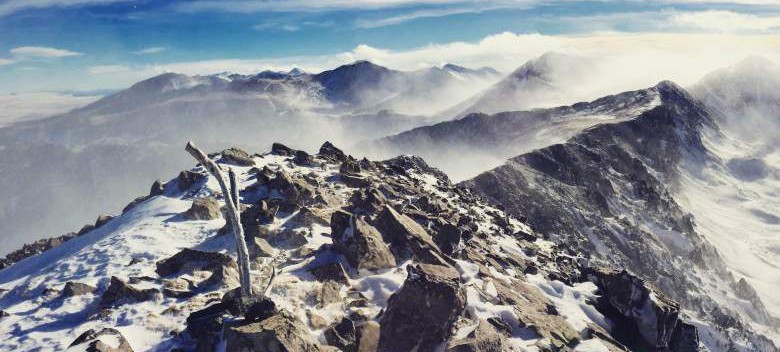
The windy summit of Eagle Peak A in the Sangre de Cristo, December 21st, 2015. Click all photos to enlarge.
I talked to Steve last week and he indicated he was ready for another alpine adventure of some kind. With Christmas and New Years around the corner I figured it’d most likely have to wait until January, but as it turned out we were both able to get Monday off from work, which happened to be the winter solstice. Although I haven’t summited many peaks on the solstice, there’s something unique about being out there on the shortest day of the year.
With a few options thrown out on the table, we eventually landed on Eagle Peak A (13,205 ft) in the Sangre de Cristos. High winds and cold temps made heading south attractive when comparing forecasts to the Front Range and Sawatch, although what we wound up experiencing was hardly an ideal weather day in the mountains.
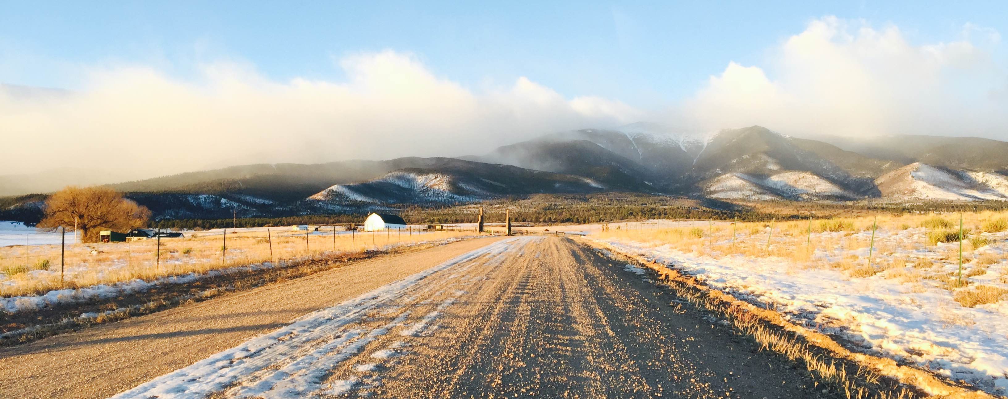
The Sangres on approach to the Rainbow Trail Lutheran Camp (Eagle Peak is up there in the clouds somewhere). Lots of wind up high, evidently…
Steve and I rendezvoused at my place and motored down to Canon City, up 50 to Texas Creek and south on 69 to the small town of Hillside, CO. From there it’s a few mile drive to the Rainbow Trail Lutheran Camp and the start of the Rainbow Lake Road. We were able to drive maybe a mile up the road from the camp before being stopped by a downed tree. After parking the vehicle out of the way we donned our Gore-Tex and mountaineering boots and began the 4 mile slog to Rainbow Lake.
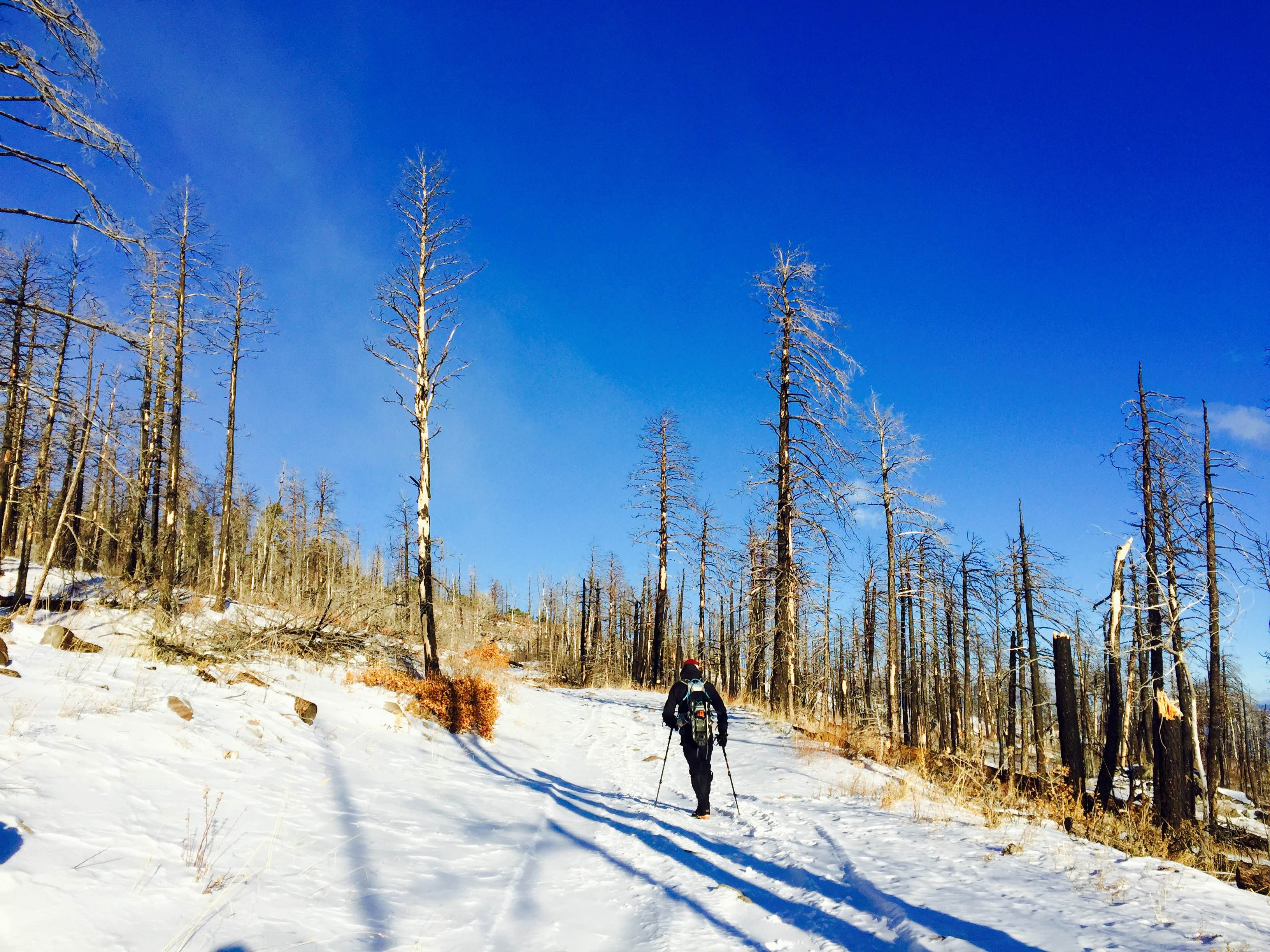
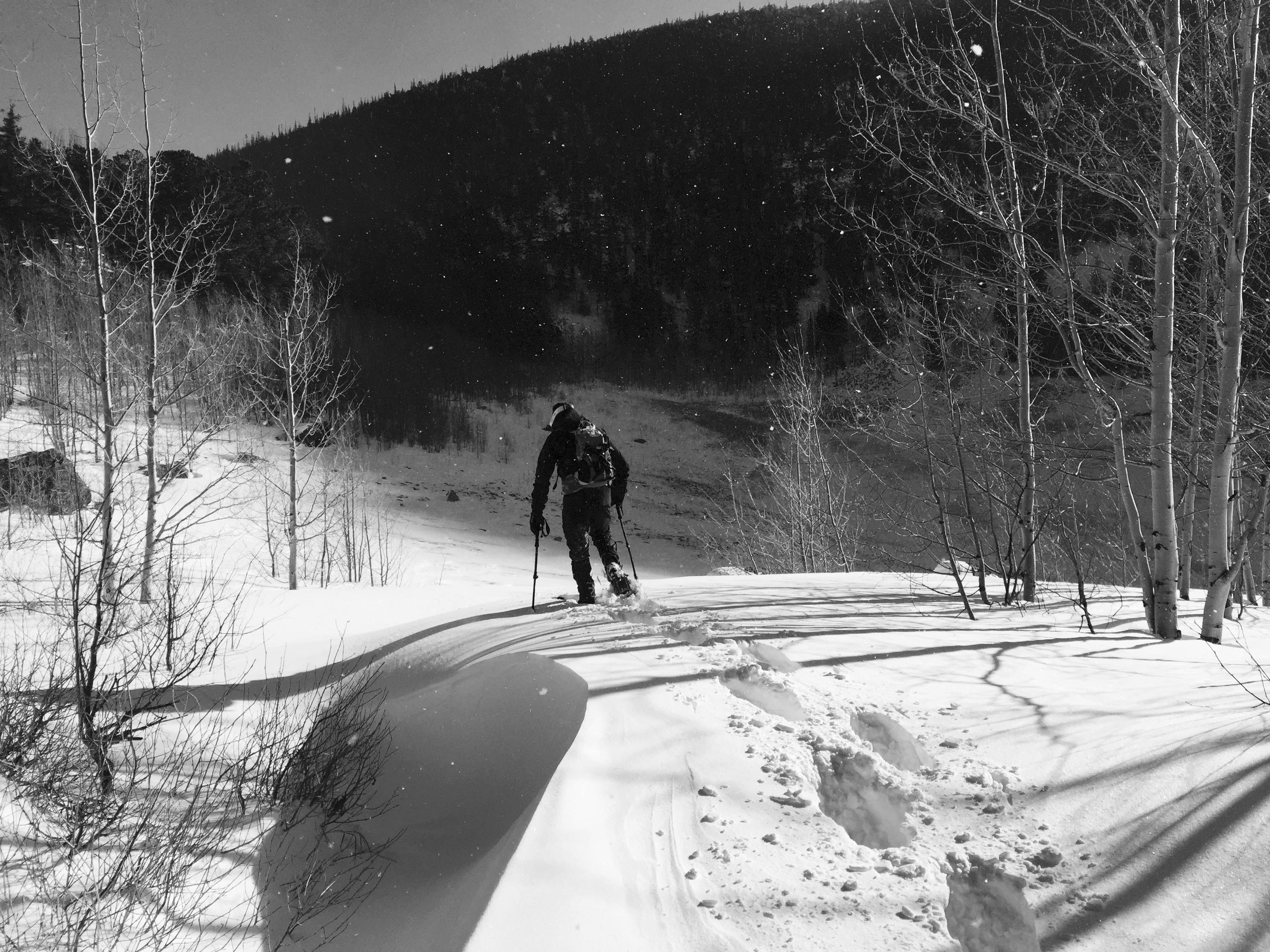
Making our way up the first half mile of snow packed road. The effects of the 2011 Duckett Creek Fires are still very apparent 4 years after the fact.
I was stoked about the familiar (but somewhat distant) feeling of walking up a snow-covered road in winter, the crunch of frozen water crystals underneath the boots marking each and every step. Eventually the snow became deep enough to warrant Steve and I strapping on our anti-posthole devices, which did their job pretty well I suppose.
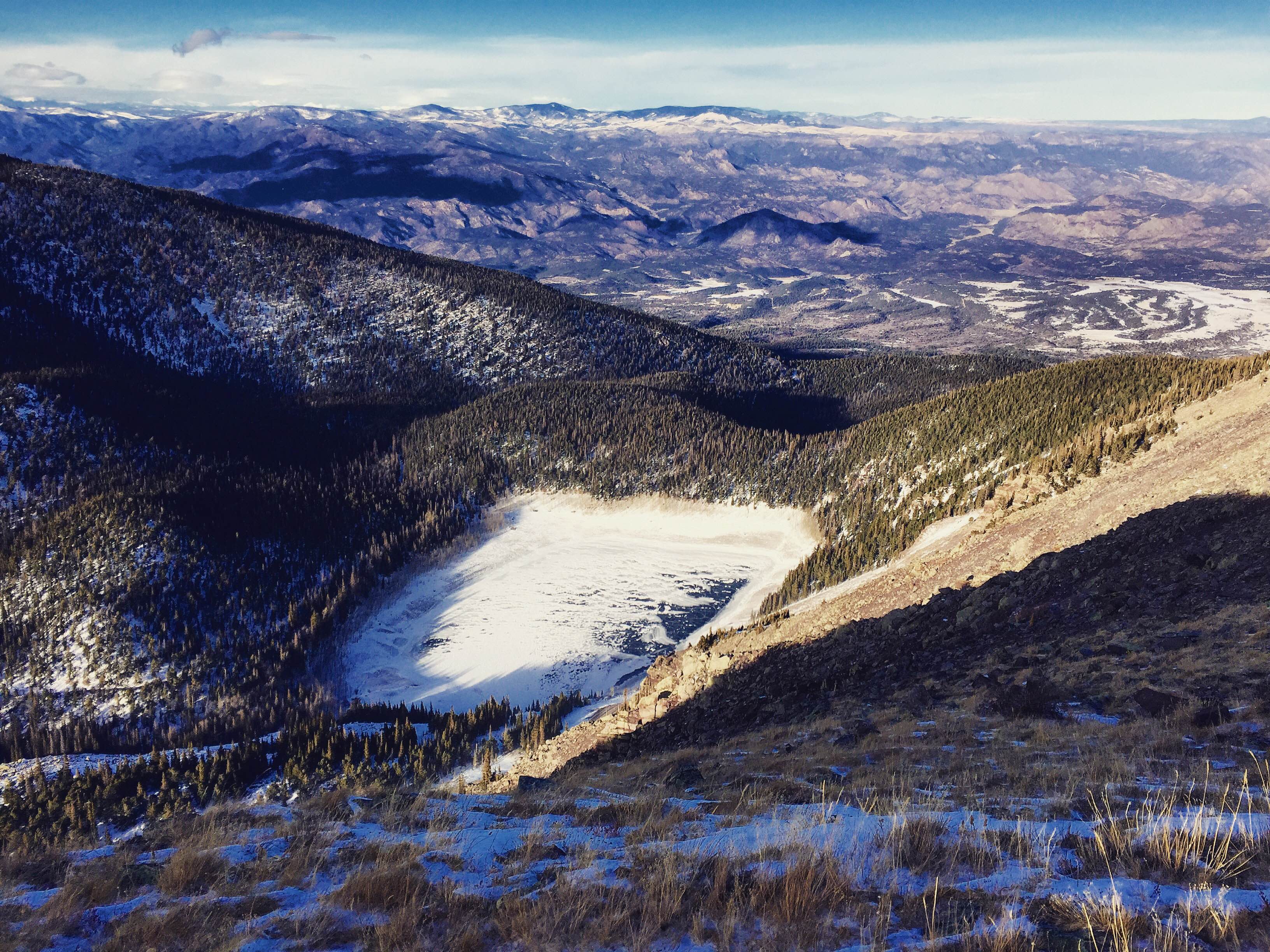
Approaching the east shore of Rainbow Lake after the road walk. We were so deep into a conversation about how much the Hobbit films suck, we walked past our intended turnoff and had to backtrack a tad.
We toiled in the trees to the east of the lake, trying to find a suitable line to gain the base of Eagle’s northeast ridge. A steep climb up a frozen talus field punctuated by downed timber eventually forced us farther to the north, which is where we should have gone to begin with (note to future travelers: resist the urge to take on the slope directly above the lake too far to the south, it doesn’t work out very well).
We plunge stepped through deepening snow, gaining altitude until things flattened out a bit indicating we had gained the base of Eagle’s northeast ridge. We turned southwest and continued on up mellower slopes until finally breaking out above tree line. One thing was clear – it was one hell of a windy day up there.
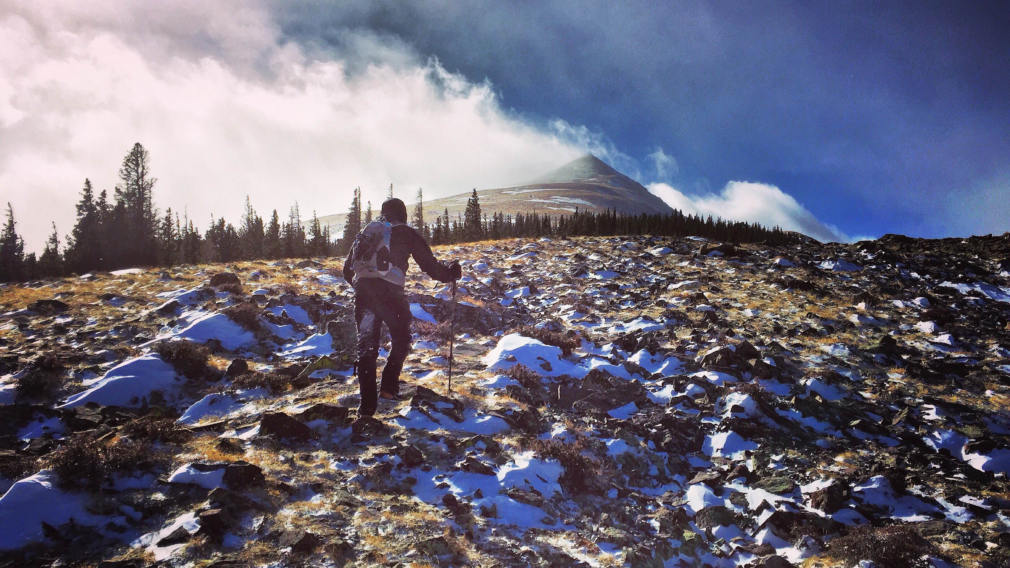
Not long after breaking treeline we were faced with the long, barren, and wind-exposed ridge to the summit of Eagle Peak. The spindrift plumes coming off the summit ridge were impressive even from afar.
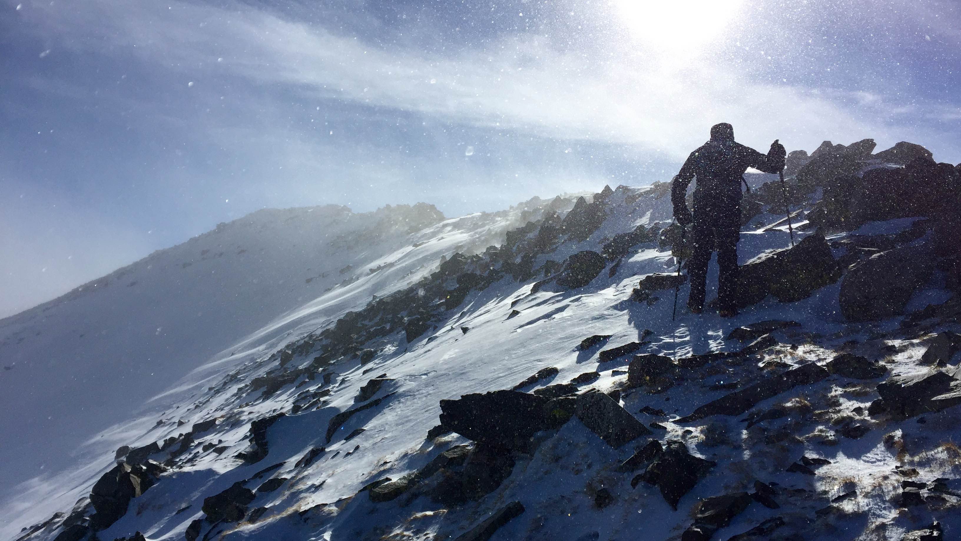
We worked our way west around a final grove of pine trees, dropped our slowshoes, and threw on every layer we had in our packs before starting the long ridge slog to the summit. The ascent was a clinic in patience and perseverance, as we seemingly got blown one step back for every two steps forward all the way up the ridge line.
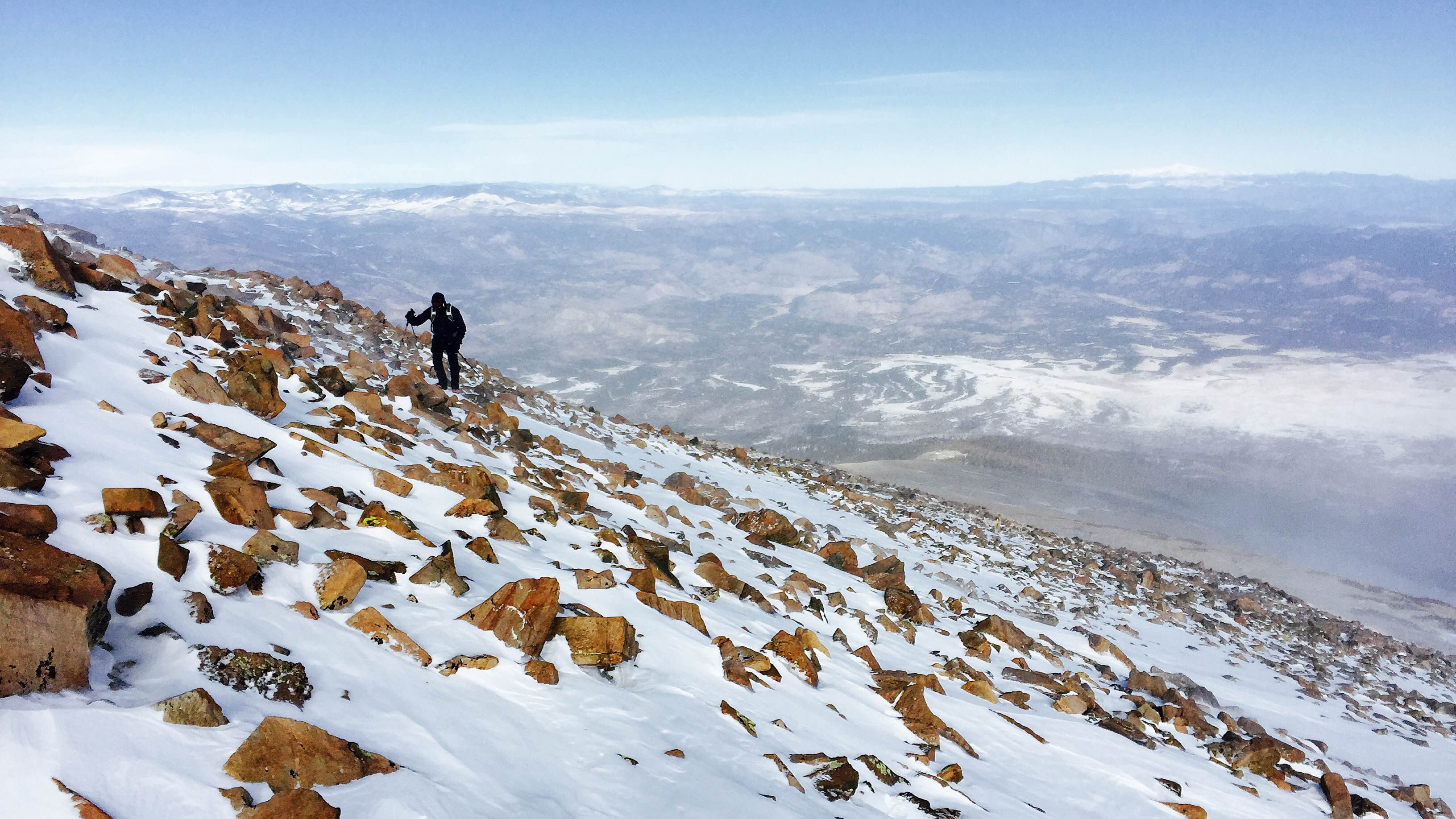
Steve talus hopping higher up during a brief wind abatement.
Eagle Peak in sight.
We eventually worked our way around to the southeast side of the ridge crest which did seem to help with the winds somewhat. Steve was in the lead and after what seemed like an eternity (it’s a longer ridge than it appears to be from below), we finally topped out on the summit ridge and had a short hundred yard walk to the top. Steve got there first, tapped the wooden stick that marks the summit with his pole, and immediately turned around and began his descent.
Shortest summit stay ever.
I was a tad warmer than Steve and was able to stay on the summit for a few minutes to snap a set of photos. Though miserable in the moment, the high winds created some incredible scenes among the surrounding peaks…
Eagle Peak A summit pano. The summit is on the “left” with the northeast ridge dropping down on the “right”.
Looking southwest across Cloverdale Basin at Cottonwood Peak A (right) and 13,123 B.
Thirsty Peak and Lakes Peak getting raked by high winds further to the south. The ridge to Electric Peak can be seen with its summit just out of the frame to the left.
Just before my hands were about to freeze off I got out of there and caught up with Steve down the ridge line. The winds seemed to get worse on the descent and even knocked us off our feet once or twice in the grassy tundra. We were happy to have gotten the summit but even happier to finally get back below tree line.
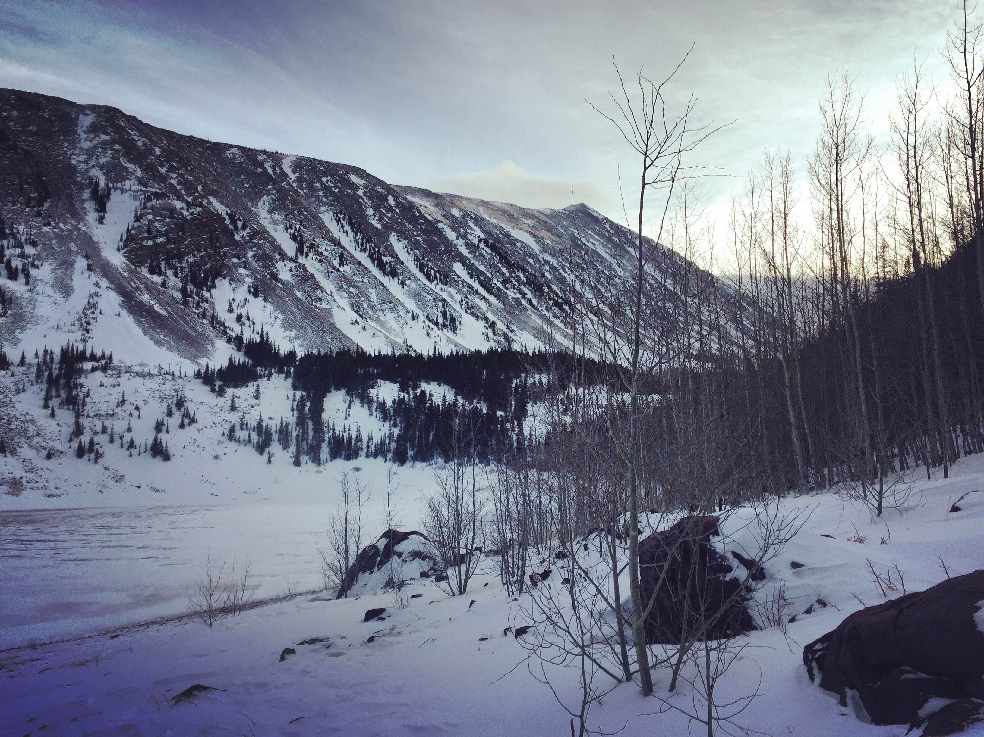
Rainbow Lake as seen on the descent. We headed down to the small saddle at the far end of the lake and then descended to the shore and back to the road from there.
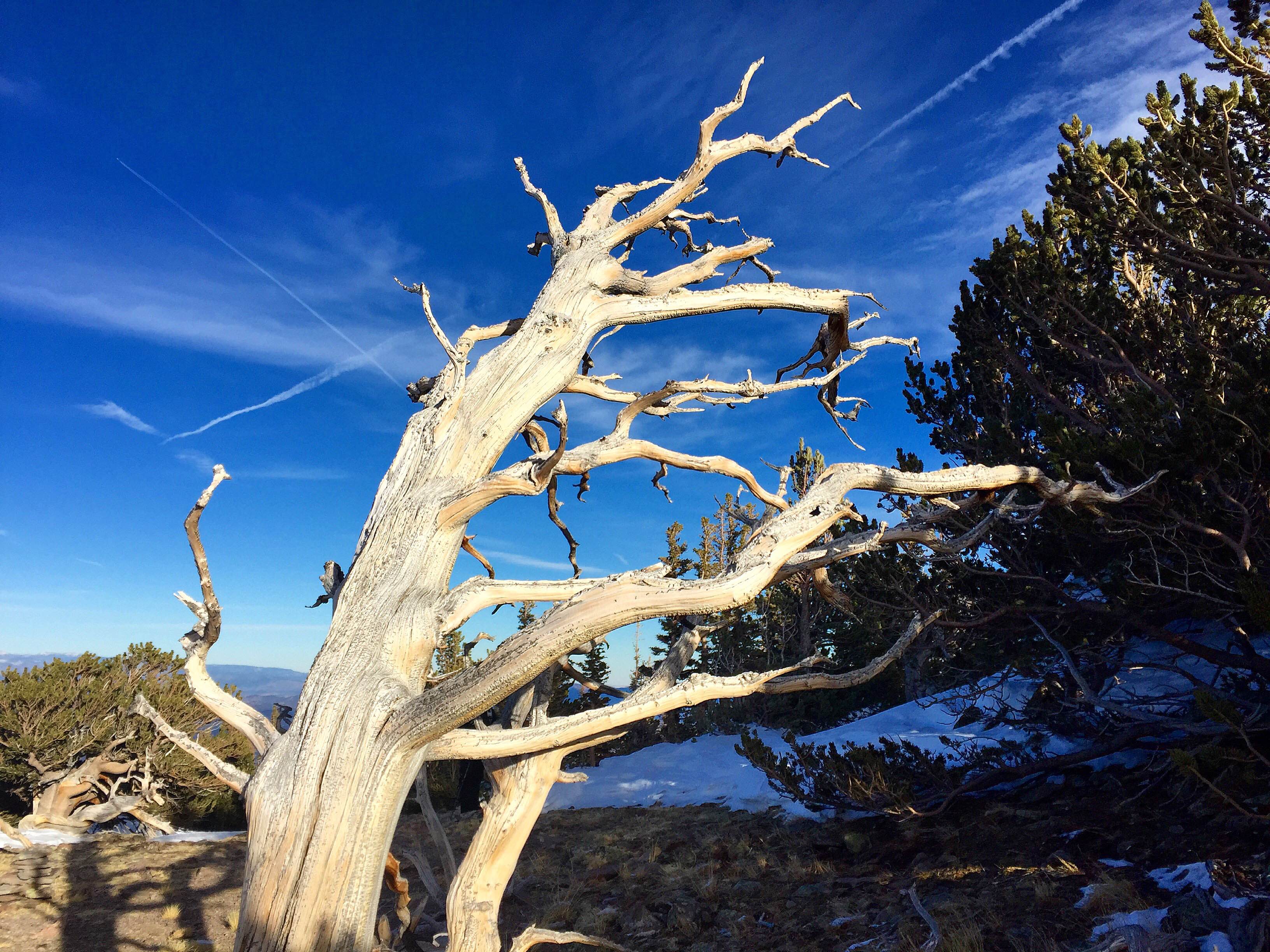
Wind-resistant Sangre flora.
In the trees we were amazed at how much of our trench had completely disappeared in a matter of only a few hours. Despite not being able to follow it were able to take a similar line back down to Rainbow Lake. Upon crossing the north shore at dusk, we were granted with one last view of Eagle Peak.
Back at the lake shore and ready for a beer as the afternoon sun wanes and the winter solstice approaches.
Steve led a fast charge down the road and before too long we were back in the Duckett Fire burn area. The moon rising over a sea of charred tree trunks made for a surreal and beautiful experience.
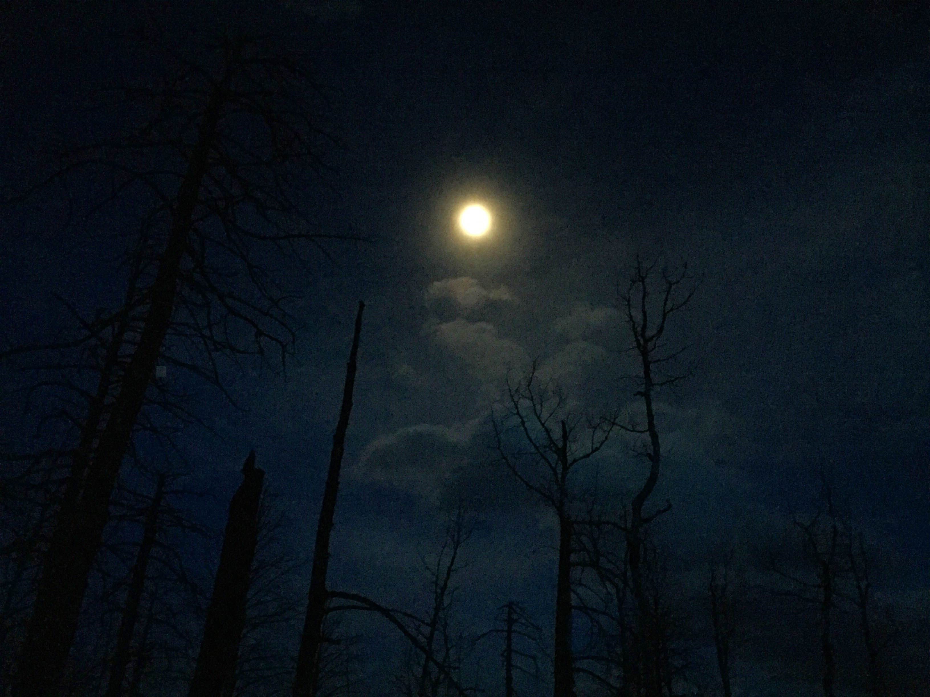
Moonrise over a burned and gnarled Sangre forest.
Incredible Pedal and chips back at the car capped off the day quite nicely. Steve and I made sure to hang around for awhile and relish it, knowing we both had to be back at work the next morning.
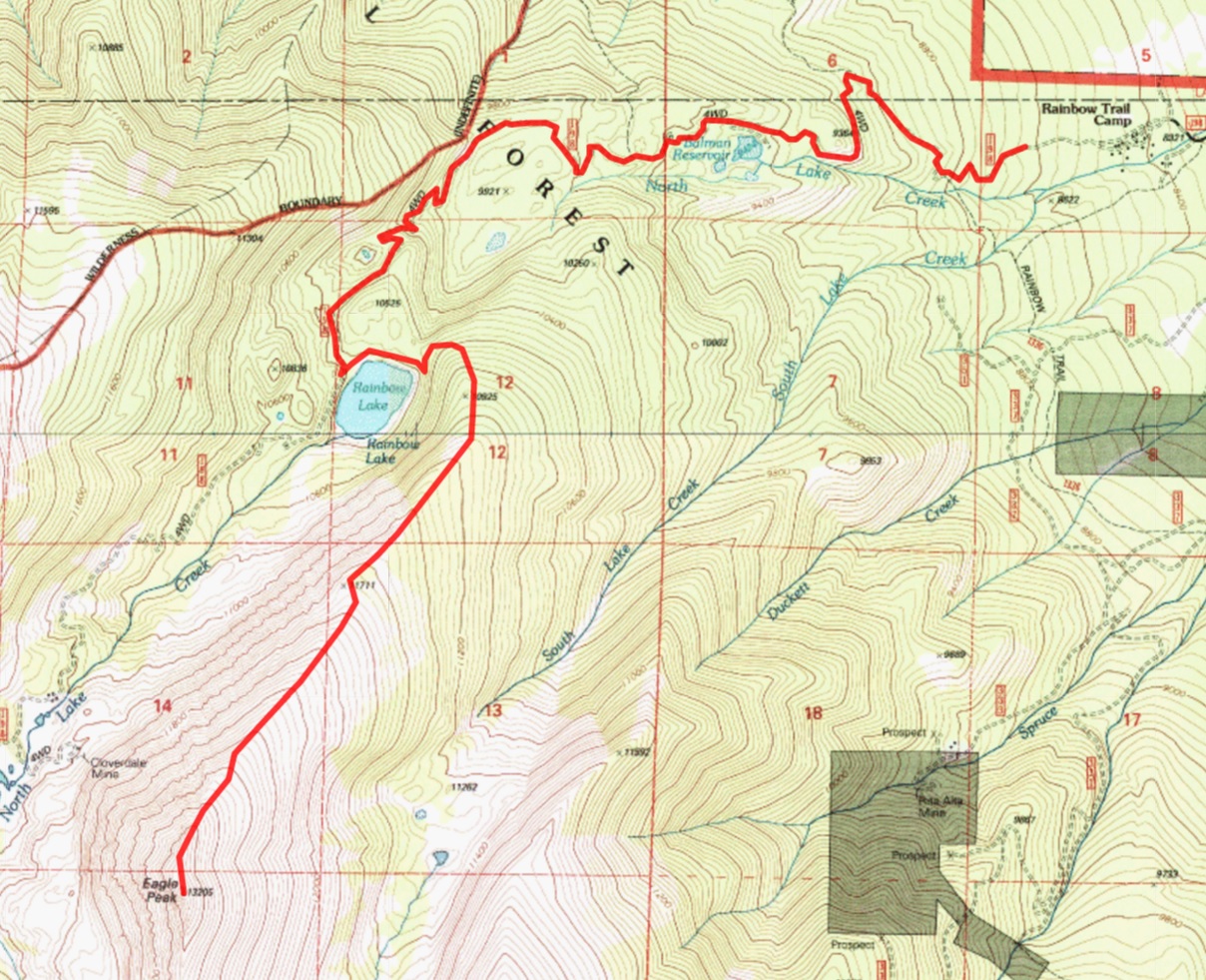
Route map, generated at 14ers.com. Our stats on the day wound up being 13 miles and 4,700 ft.
When it comes to low-hanging winter 13er fruit, Eagle should be at the top of everybody’s list. The lack of avy danger, simple nature of the route, and general absence of snow up high in the Sangres makes it an ideal winter day trip.
Steve, thanks for battling the winds with me up there. And Merry Christmas to all! ?
that looks windy as f**k. That’s all I really have to say about that. But it beats a day in the cubicle.
You are correct on both counts.
That bast of wind just below the false summit on our descent picked me up and threw me down like Von Miller on a QB’s blind side. What Ben didn’t say was that he led the charge into the wind with the ice crystals blasting our faces all the way up the deceptively long grass slope.
Thanks for a great outing Ben, taking some sweet shots, and posting. The happiest moment for me was not reaching the summit, nor turning around to start the descent, but cracking open the Incredible Pedal at the end of the day’s journey!
Steve, 100% agree that the best part of the day was the post-climb chips and beer session at the car. I think the main benefit to outings like these is that they make food taste incredibly good at the end of the day.
Thanks for indulging in this somewhat dumb idea, Steve. Let’s do it again here soon…