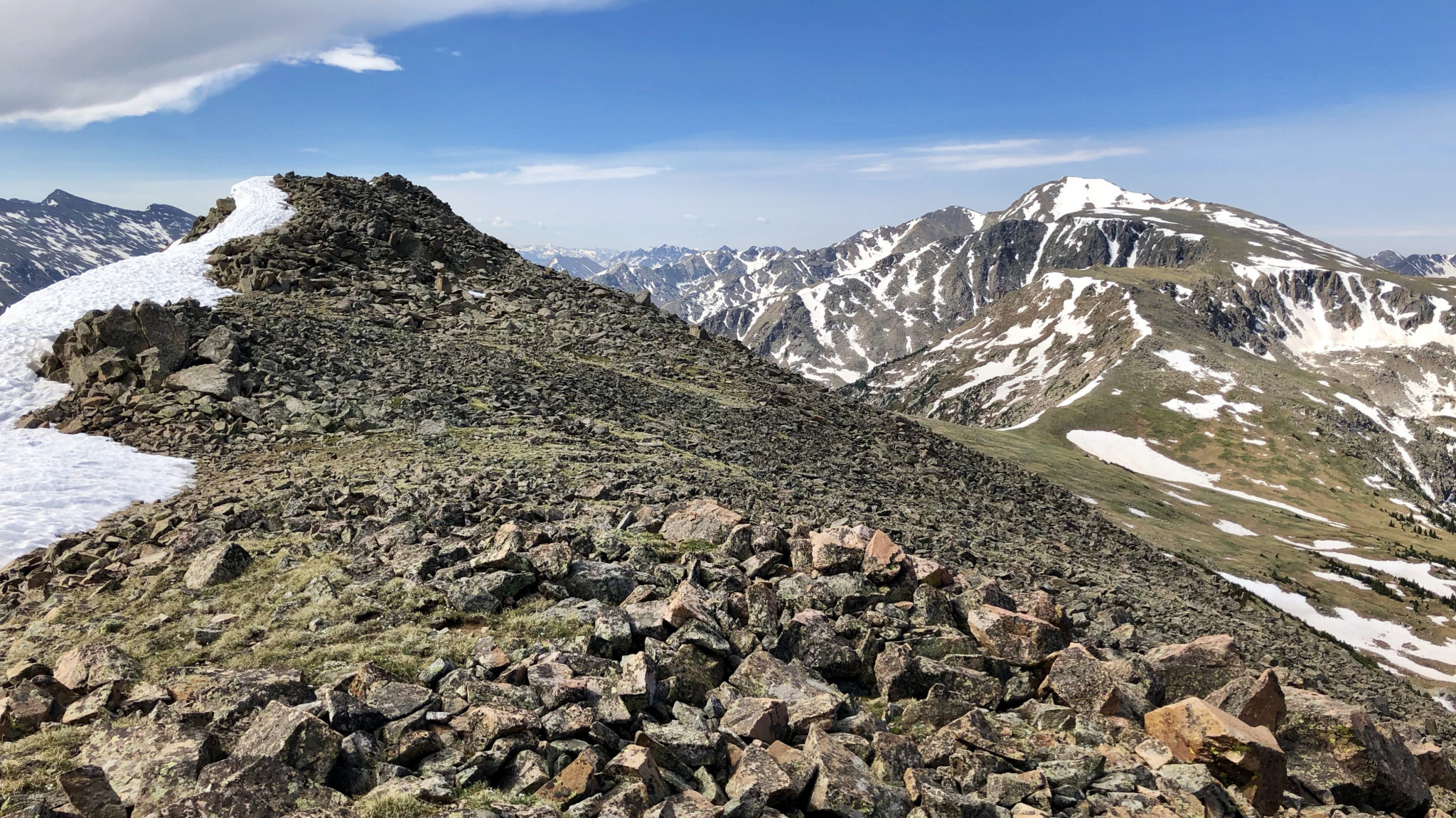
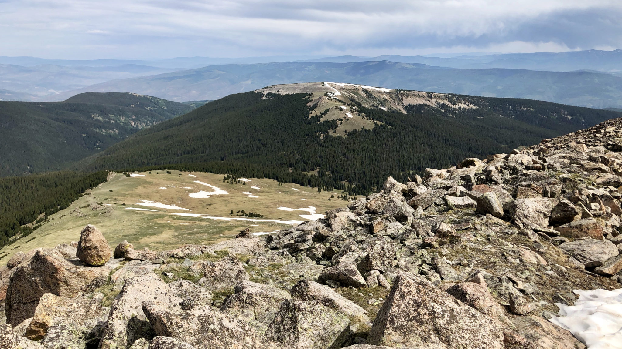
Summit of Grouse Mountain (12,799 ft) looking south at Mt. Jackson, Holy Cross Wilderness. Click to enlarge.
After spending the first half of June getting packed up and moved into our place in Eagle Vail, it was finally time to go check out the new backyard. Truth be told I was looking for a big day up high to acclimate and continue training for a pair of upcoming races. A quick glance at the map landed me on local 12er Grouse Mountain south of Beaver Creek in the Holy Cross Wilderness. It appeared as though Grouse connected easily from the “Bald Spot” (i.e. Pt. 12,161, also a ranked 12er) at the top of the ski area, and since I knew of a trail that connects Eagle Vail to the bottom of the ski area, I figured why not connect it all up in one shot and go for Grouse starting right from my driveway?
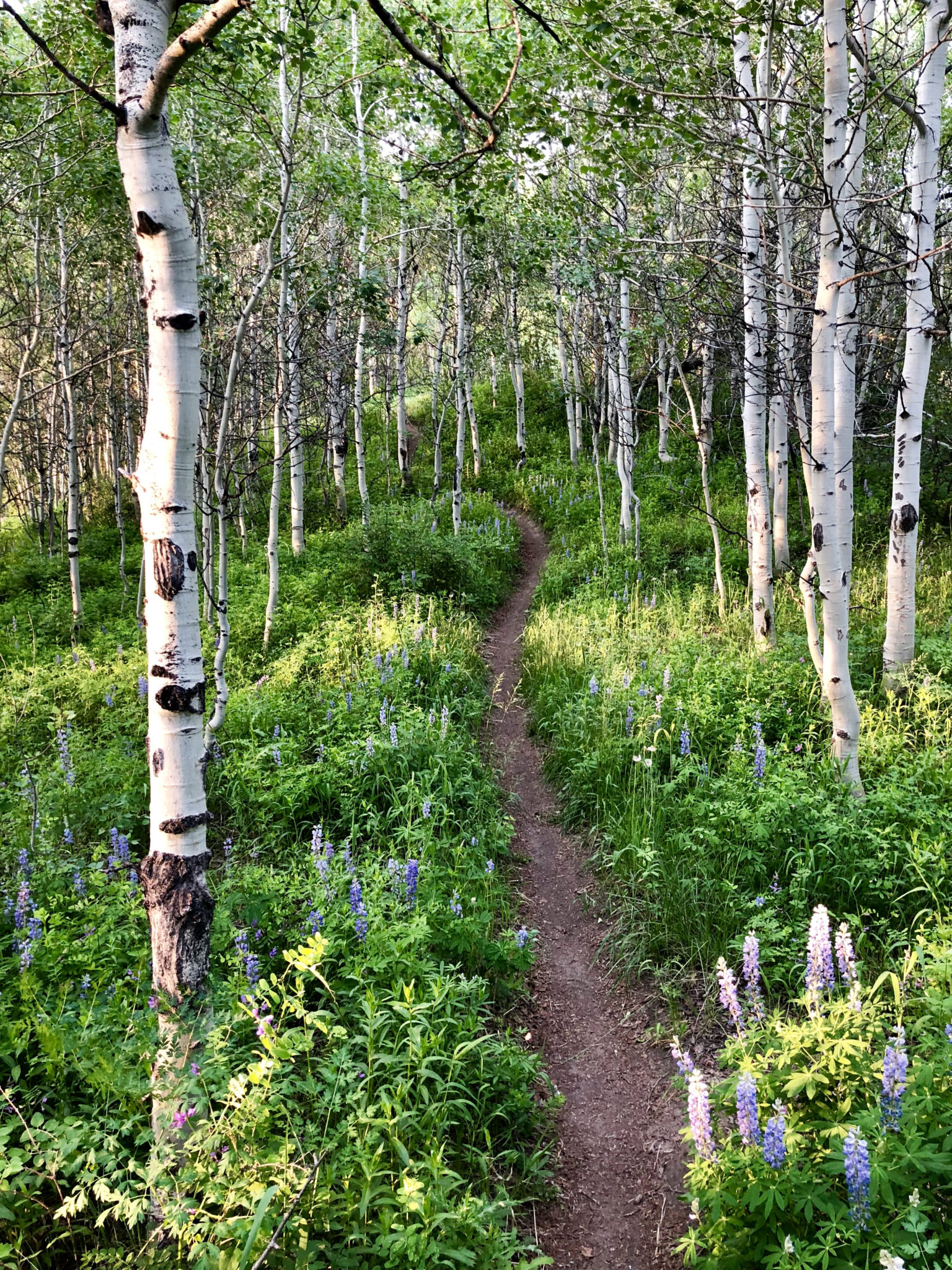
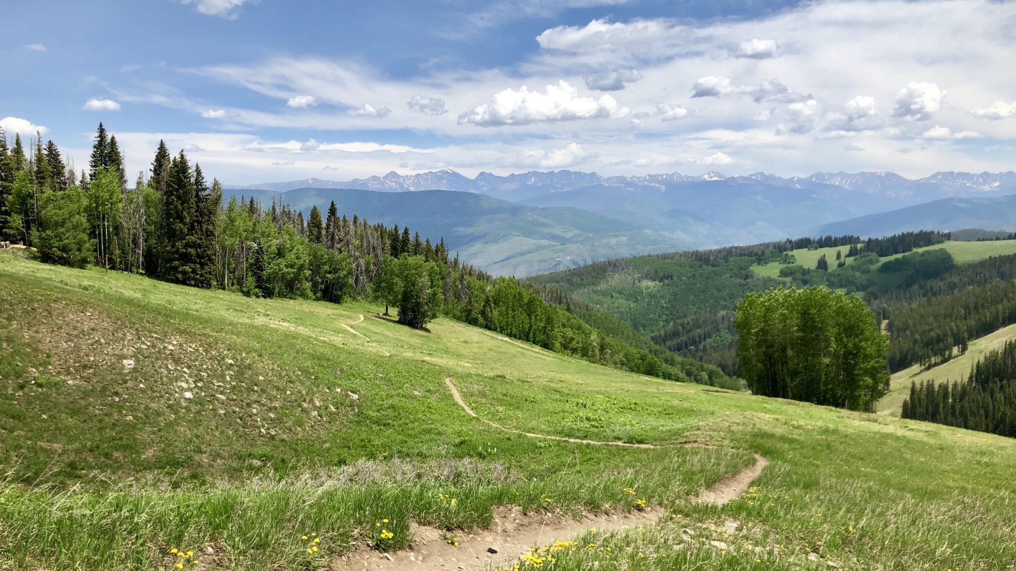
Running through dense aspens along “Paulie’s Little Sister” trail above Eagle Vail. The more well-known Paulie’s Plunge trail is closed through June 20th for elk calving.
The connections worked well and went something like this: a short jog down the road to the west entrance of the Eagle Vail Trail, split off up Paulie’s Little Sister Trail which connects to “Cinch” ski run in Beaver Creek, ascend various roads and singletrack through the ski area to the top of the Bald Spot, run the ridge out to Grouse, then reverse the entire thing back down to Eagle Vail. It ended up being 26.1 miles and 7,255 ft in total. Not too shabby.
In the ski area now, just below the Spruce Saddle Lodge. That red haze on the horizon is wildire smoke.
The top of the Bald Spot offers expansive views of the HCW to the south, including Mt. Jackson, the entire Finnegan to “Ribbed” ridge line, and of course, Mt. of the Holy Cross itself. I think a return trip in winter at sunset with a telephoto lens might be in the cards 🙂
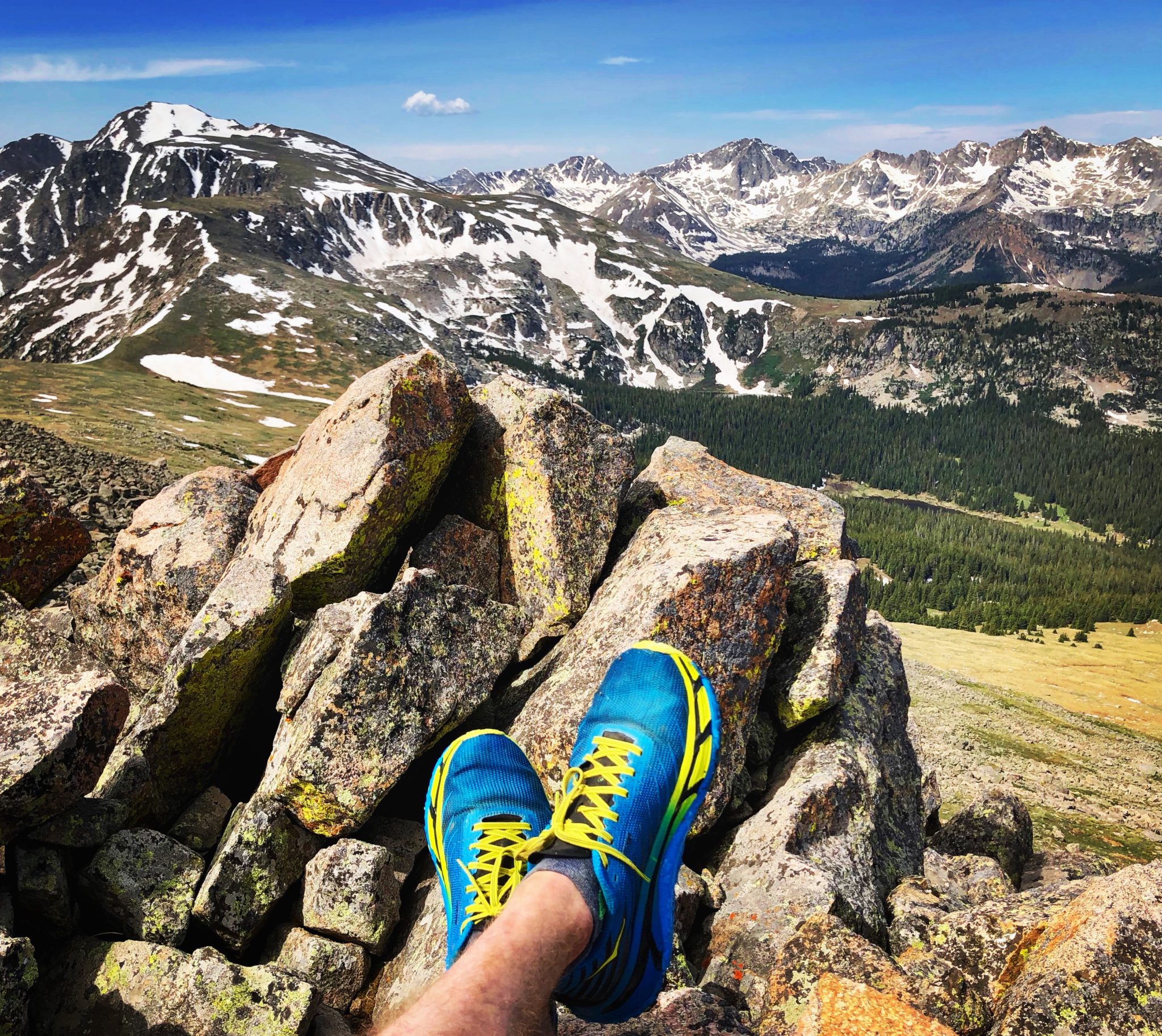
Looking back at the Bald Spot from Grouse Mountain’s summit ridge. Click to enlarge.
As expected the traverse from the Bald Spot out to Grouse was pretty simple. The one small section of navigation through the woods was straightforward, and the rest of it just entails tundra walking from the saddle up to Grouse’s summit ridge.
Grouse Mountain’s summit looking southeast towards Mt. Jackson and neighbors.
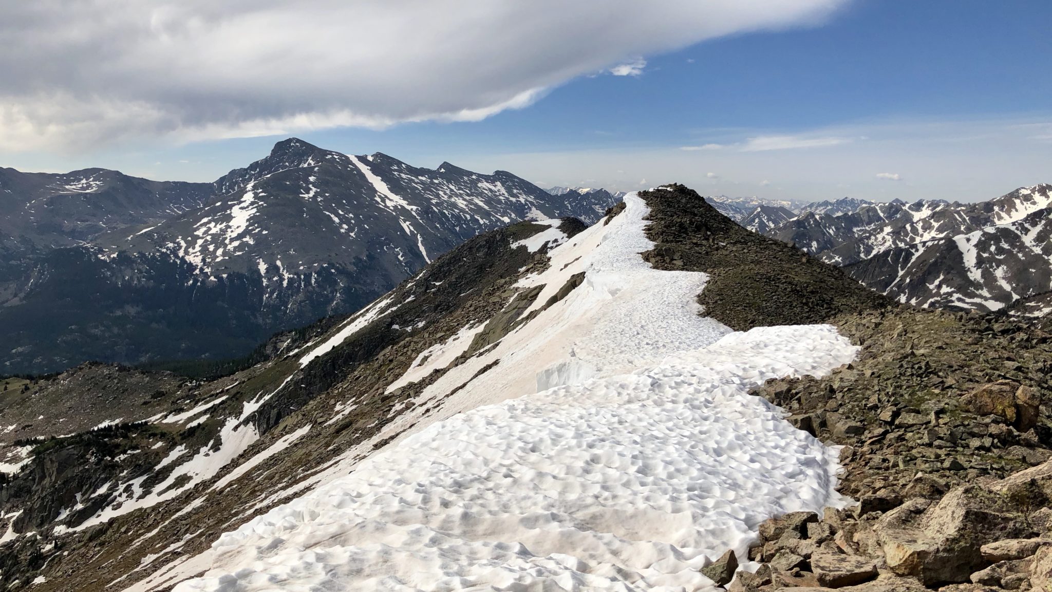
Mt. of the Holy Cross and Holy Cross Ridge to the south.
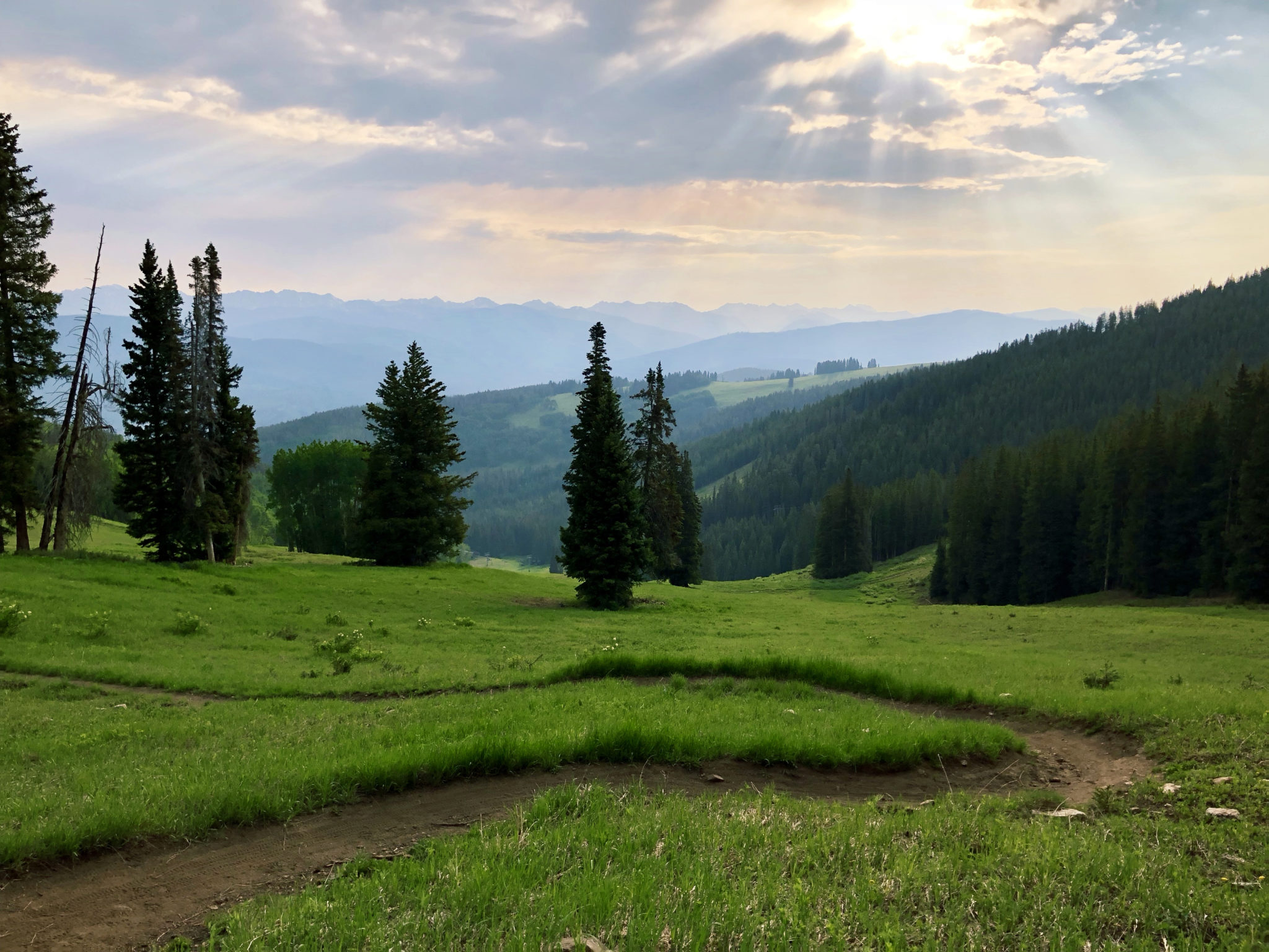
The return trip went quickly once I made my way back to the Bald Spot. From there it was all downhill through mostly gradual terrain. After hitting pavement in Eagle Vail I jogged back to the house and made it home just in time to start a half day of work. I could get used to this living in the mountains thing…
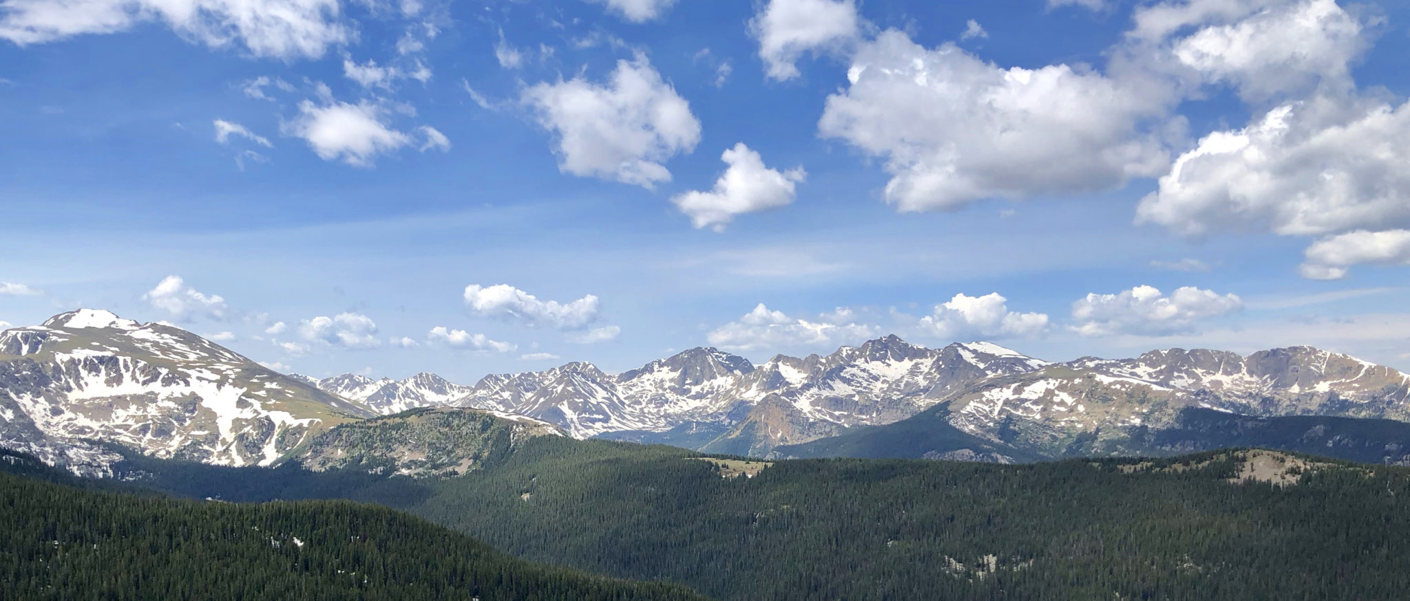
HCW panorama, seen from the Bald Spot. Click to enlarge.
The road home.
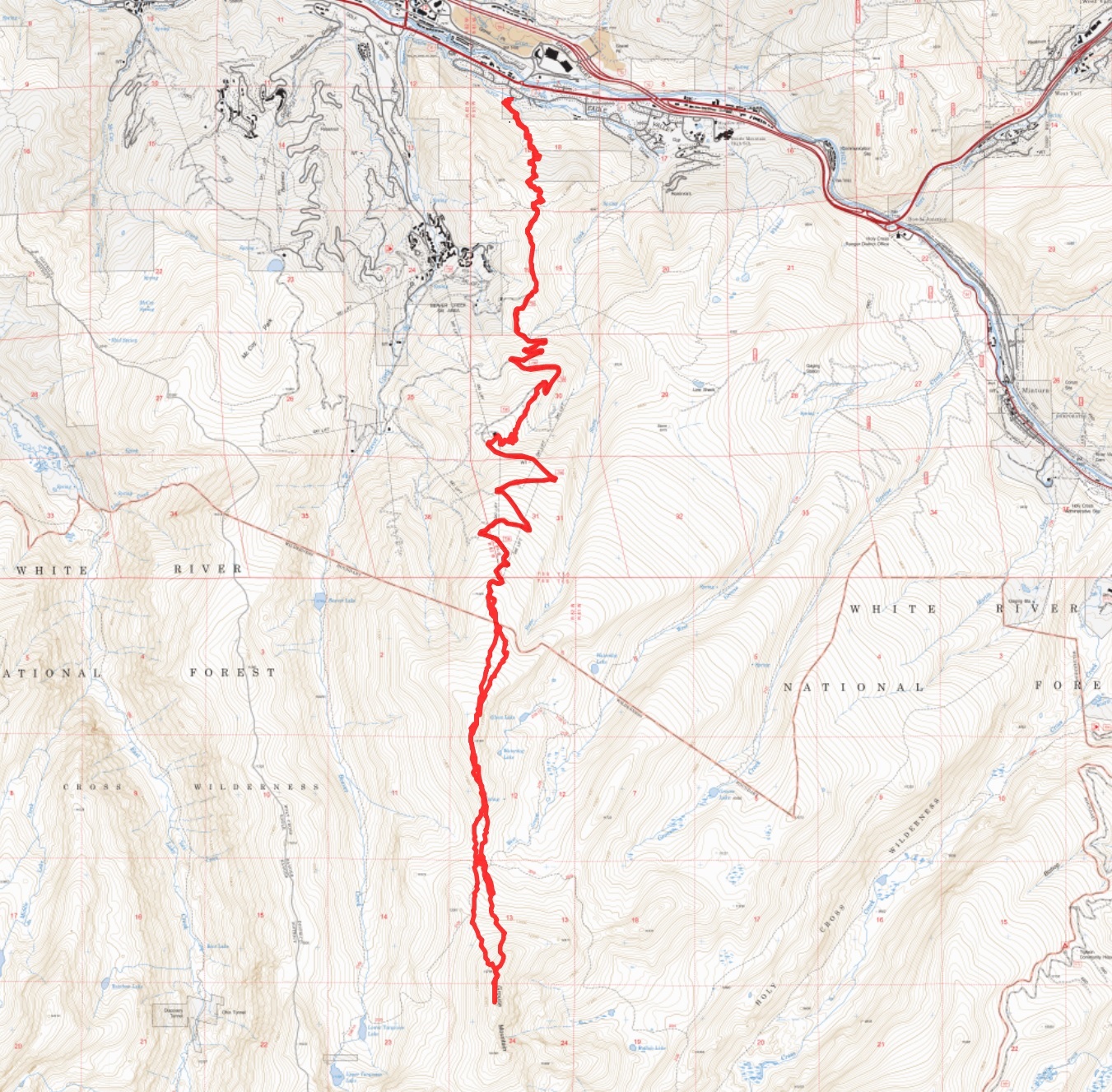
…and lastly, a map of the route. Click to enlarge.
And with that, wildfires permitting, I’ll be heading down to Lake City for a second go at the San Juan Solstice 50 here in a few days. Guess we’ll see how it goes…
Cheers!
Welcome to mountain livin’ man! Nice run there! Now, that’s my kind of “trail race” 🙂
Yeah man! Glad to be up here. That Finnegan loop you have planned out looks nice!
Pingback: 2018 San Juan Solstice 50 - Exploring the Rockies