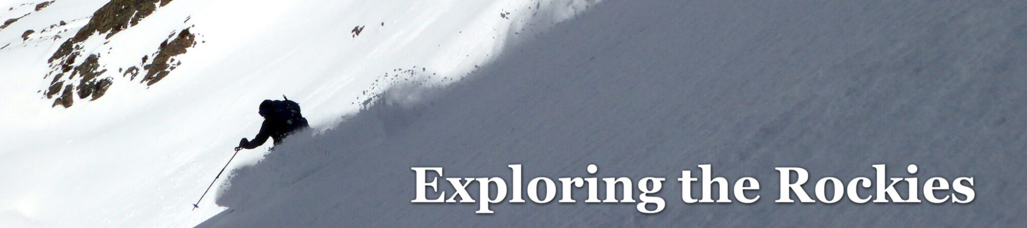
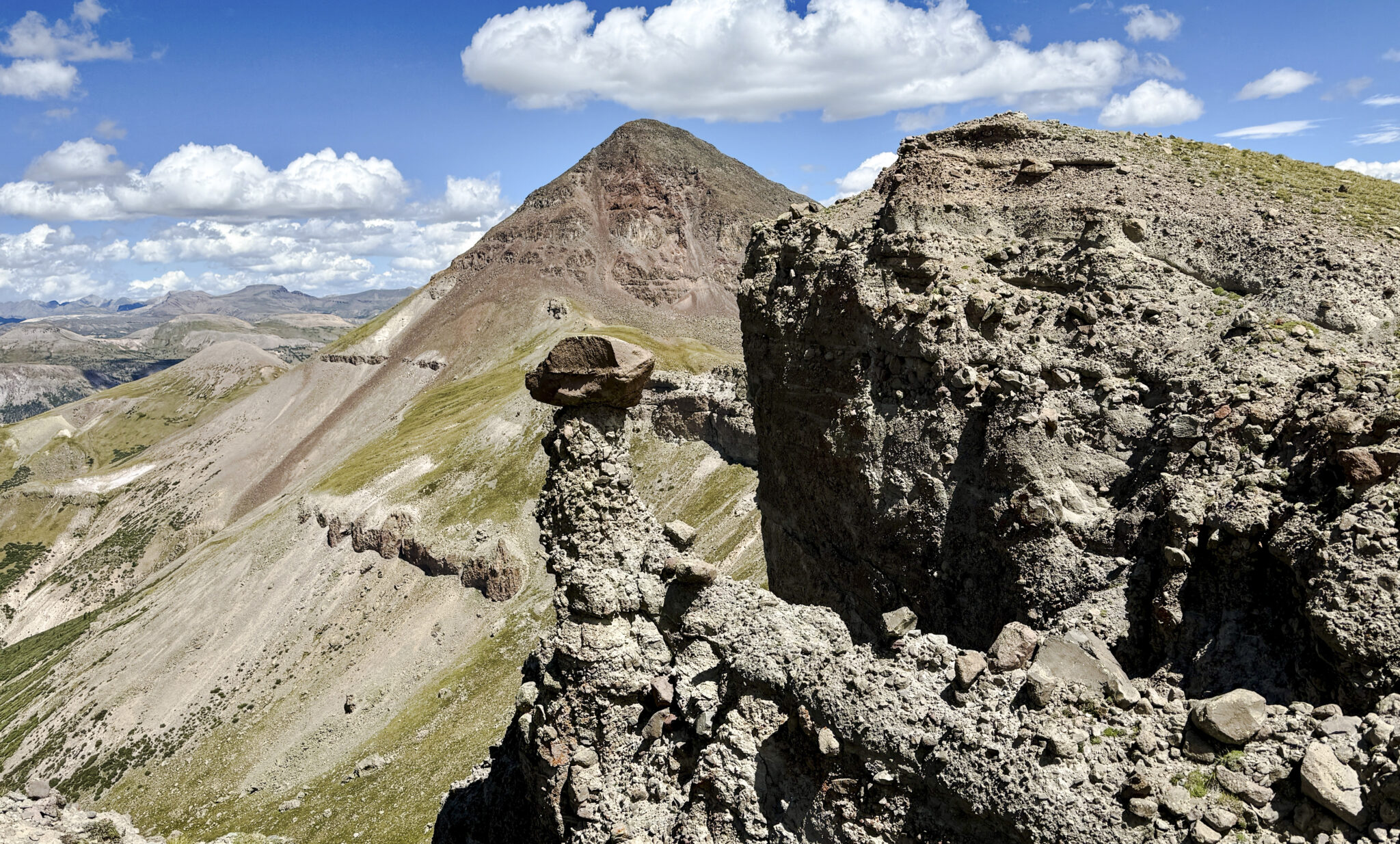
Centennial 13er Rio Grande Pyramid seen from “Window Peak”, Weminuche Wilderness, Colorado. Click photos to enlarge.
A few weeks back I drove down to the Creede area for two days of solo peakbagging. The objective this time around was to nab the rest of the 13ers neighboring Rio Grande Pyramid as well as Chief Mountain to the east, all of which are accessible from the same trailhead on the east end of Rio Grande Reservoir. The pair of days went swimmingly, and I was happy to finally revisit this beautiful and remote corner of the Weminuche.
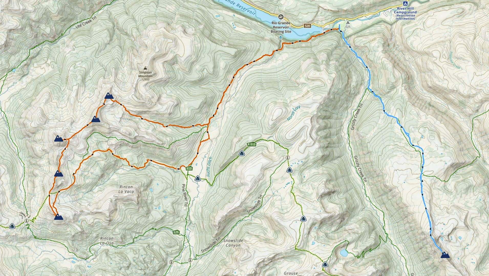
Map overview of both days – the Rio Grande Slam in orange and Chief Mountain in blue, with the peaks marked.
My first and only other time adventuring in this area was 12 years ago when Dillon and I cherry picked Rio Grande Pyramid during a weekend Centennial bagging trip from Denver. That day was a bit of a blur as we pulled into Thirty Mile Campground after dark, slept for all of 3 hours, and hit just RGP before making a mad Sunday night dash home. With several other 13ers to check off in the area I always knew I’d be back and had long been looking forward to it.
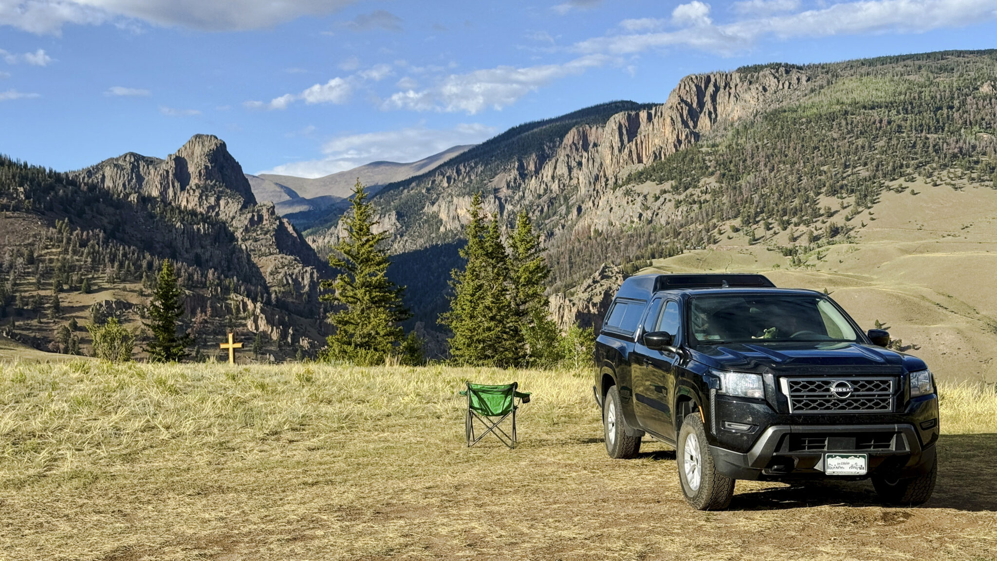
The hills above Creede make for a nice place to camp.
Though Rio Grande Pyramid is undoubtedly the monarch of the area, the 4 peaks that flank it aren’t slouches either. Pt. 13,022 at the southern end of the string in particular has a reputation of being a tough scramble, and “Window Peak” (though no longer ranked thanks to LiDar) is just a really cool peak. The peaks to the northeast of RGP aren’t the most exciting from a mountaineering standpoint but they make up for it with incredible views in every direction. I figured why not go for all 5 from the TH in one shot, a linkup appropriately dubbed by those before me as the “Rio Grande Slam”.
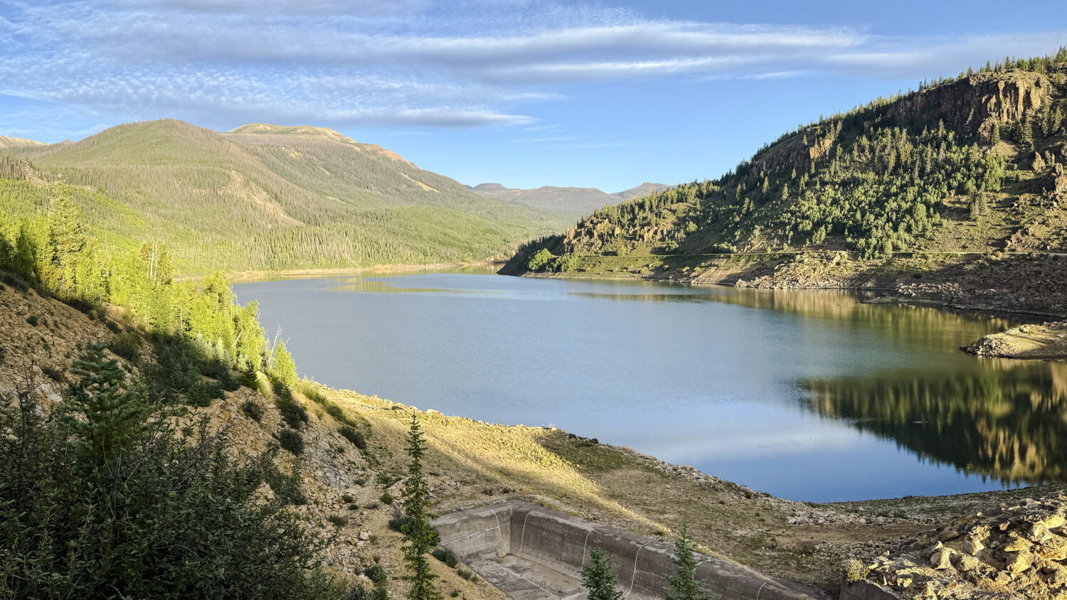
Morning light over the reservoir.
I made good time up the Weminuche Creek trail in the crisp morning air. Though a long approach, the trail is solid and almost a perfect grade for moving quickly. Eventually I crested Weminuche Pass and made sure to nail the right-hand turn up the Rincon La Vaca Trail, this time around foregoing the Skyline Trail in favor of the more direct route into the heart of the basin.
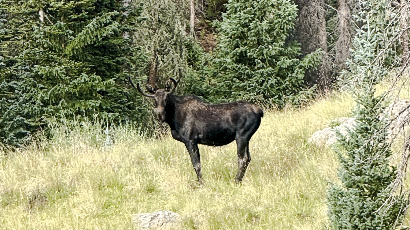
PSA: There are lots of moose in this area.
With another thousand feet of climbing under my belt I came over a rise and had the infamous Weminuche Window staring me in the face:
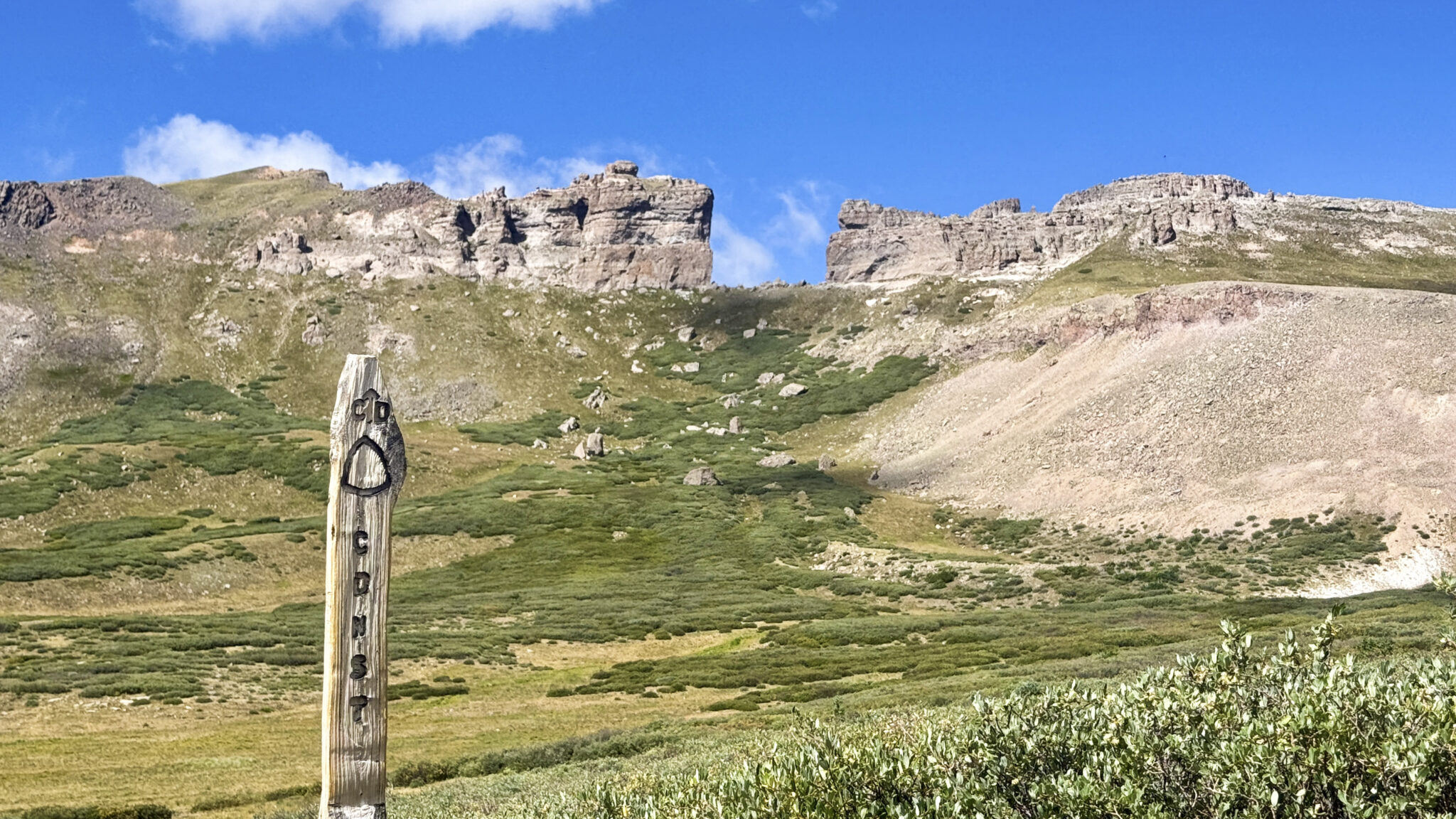
Good morning, The Window.
Passing underneath The Window and around a small lake near 12,300 feet, I broke off the Continental Divide Trail and contoured across the basin between it and Pt. 13,022. As the most anticipated objective of the day I wanted to get it out of the way first. Being solo and 10 miles in I elected to take the southeast ridge both up and down, the easier and more efficient option when compared to the slightly more difficult northwest ridge. Though it’s still pretty spicy if you ask me! One move in particular had my full attention… an awkward and exposed pullup over a slightly overhanging boulder. Whew.
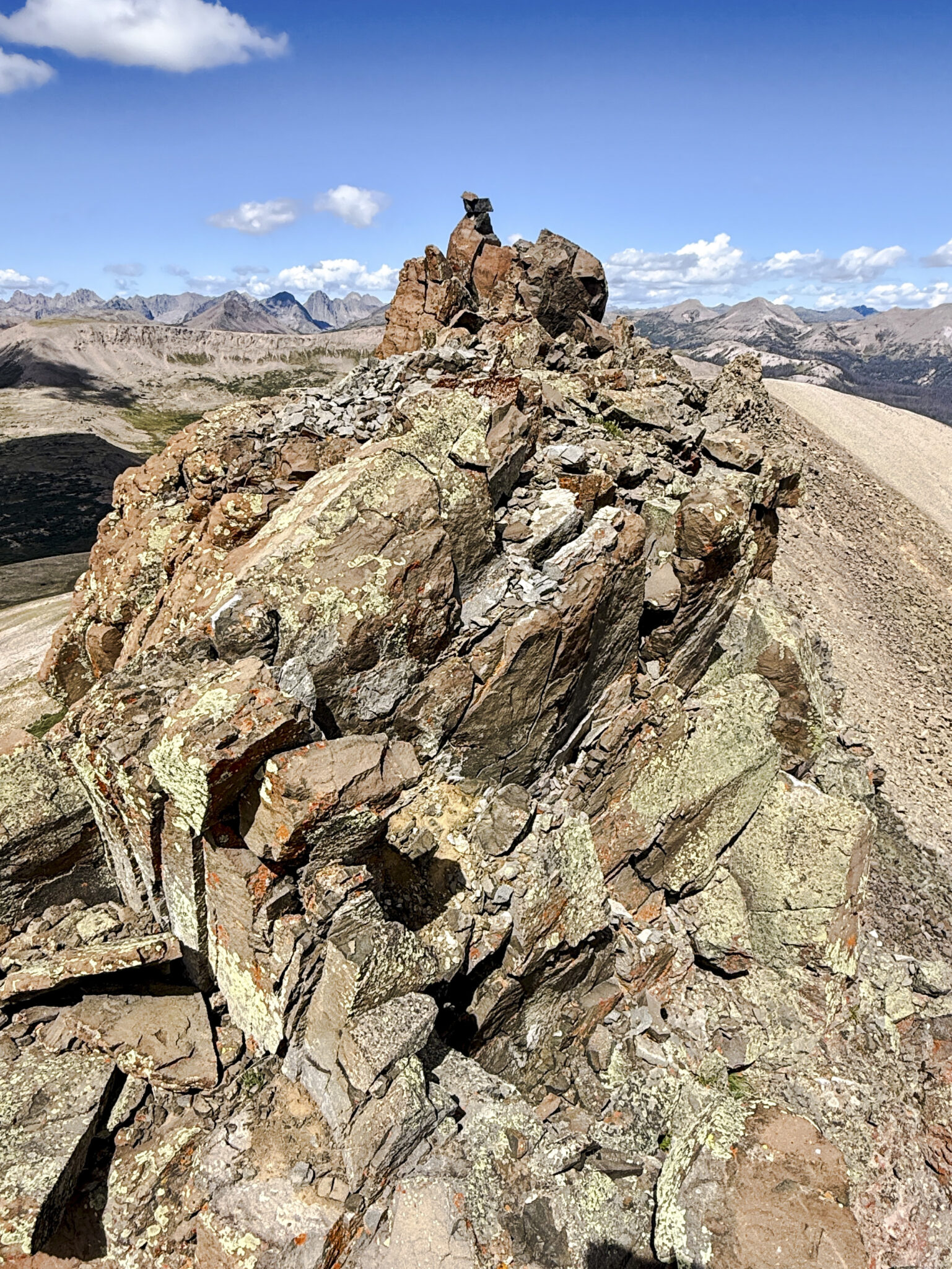
Above the scrambling difficulties with a hundred feet of airy ridge to the summit.
It’s a cool peak with some incredible views into the heart of the Wemi:
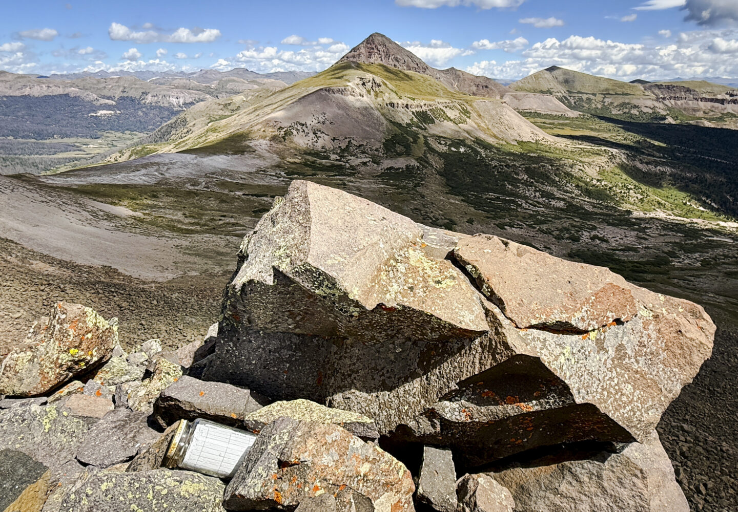
Summit of 13,022 looking northeast at RGP and “Fool’s Pyramid” beyond it.
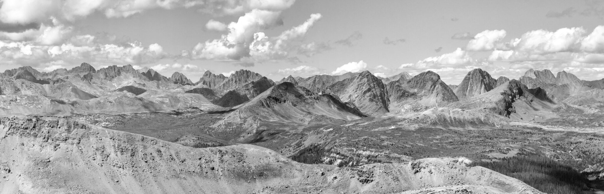
Summit pano from 13,022, looking west. Click to enlarge.
Carefully backtracking down my ascent route I was happy to hit terra firma and continue north for the rest of the linkup with the hardest peak of the day in the bag. After boulder hopping across the basin and crossing over the CDT. a big slope led to the summit ridge and eventually the summit of “Window Peak” at 13,158 feet.
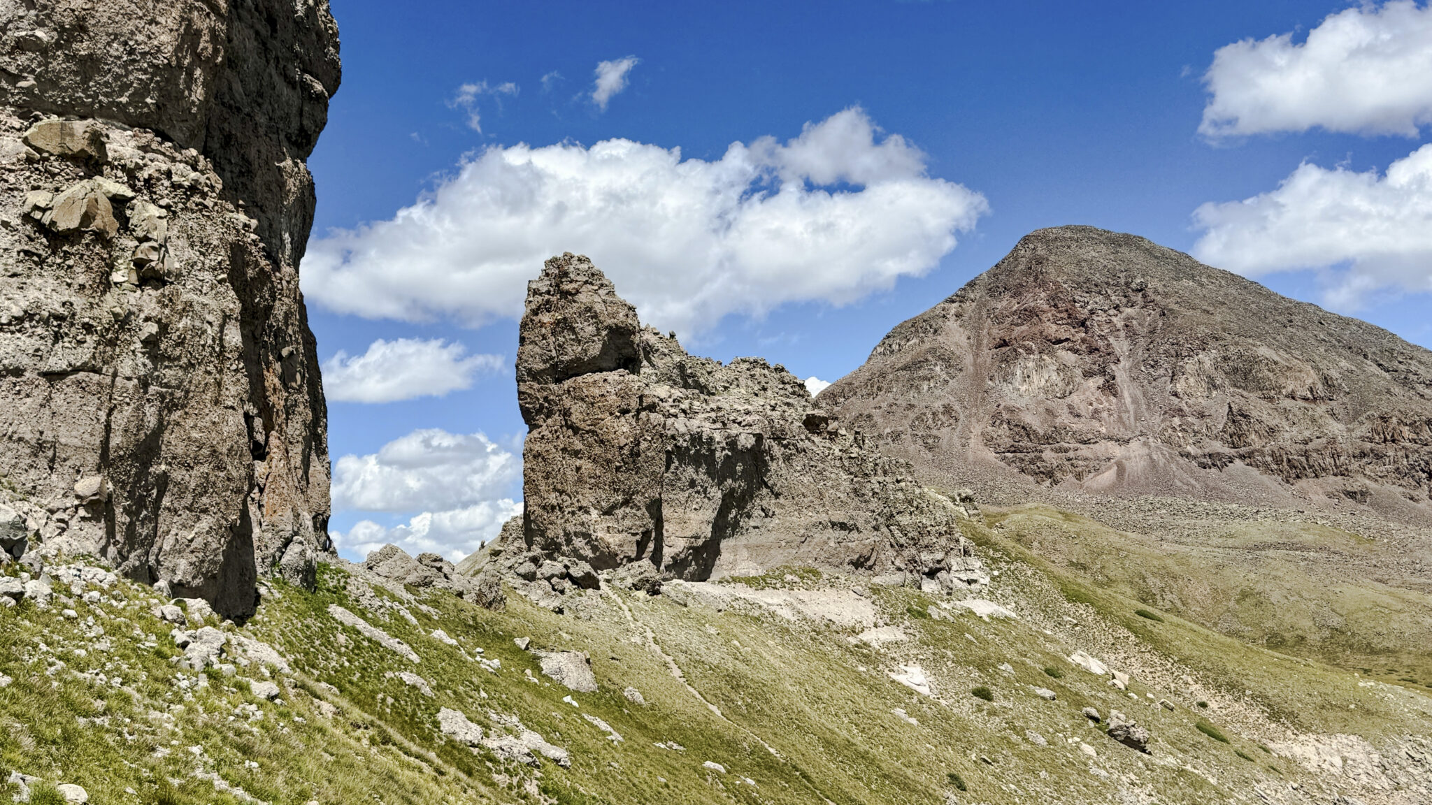
The Window up close. A volcanic ridge with a nearly perfect square “window” in it carved out by glacial action and freeze/thaw cycles.
After passing under The Window I traversed over to the RGP/”Fools Pyramid” saddle, hung a left, and schlepped up steep boulders to the top of RGP. It was cool to log a second summit of RGP, a mountain William L. Marshall of the 1874 Wheeler Survey called, “one of the handsomest and most symmetrical cones in Colorado”. I took a few moments to down a bunch of fluids and eat lunch before retracing my steps back down to the saddle and up to the top of “Fools Pyramid”.
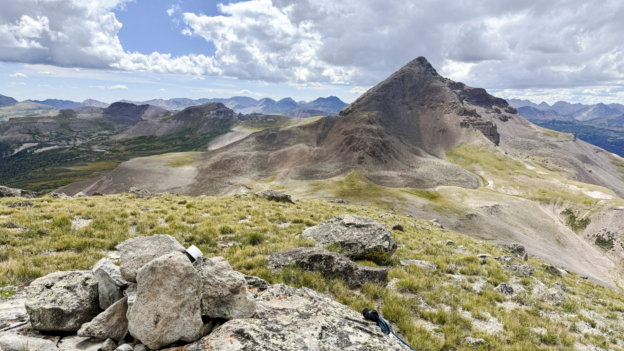
“Fools Pyramid” summit looking back at Rio Grande Pyramid. It’s not hard to see what Marshall was talking about.
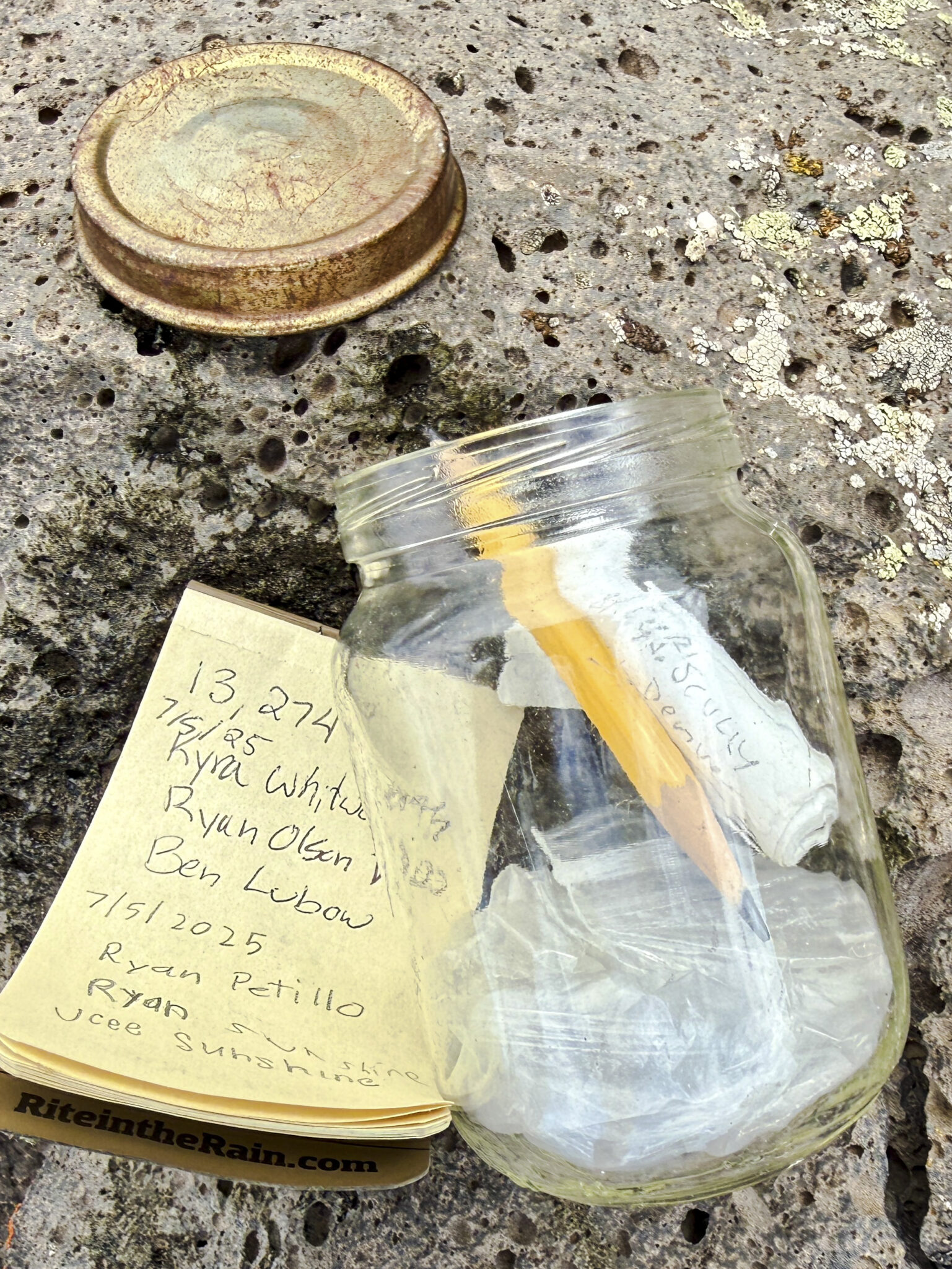
About an hour later on top of the 5th and final summit of the day, Pt. 13,274 to the south of Simpson Mountain. Fun fact – the Marshall survey originally named RGP, “Simpson’s Pyramid” but apparently it didn’t completely stick.
As the sun began to wane a bit, for some reason I elected to commit to a direct descent route down Weminuche Creek back to the main deproach trail. This alternate descent saves the elevation gain required to cross south over the east ridge of “Fool’s Pyramid” and take the Skyline Trail out. I’d seen one party opt for the direct descent before, though they left no notes about what it was like. In essence the debate is extra elevation gain and miles vs. a shorter, direct bushwhack. Well, given how much of a bushwhack it turned out to be, I can’t say I’d recommend it anyone over the alternative.
Eventually I hit the trail and managed to actually jog out the final couple miles back to the truck. It was pretty satisfying to cross the finish line on such a long-anticipated and big day out. Then it was time to cook up some dinner and get some much needed shuteye.
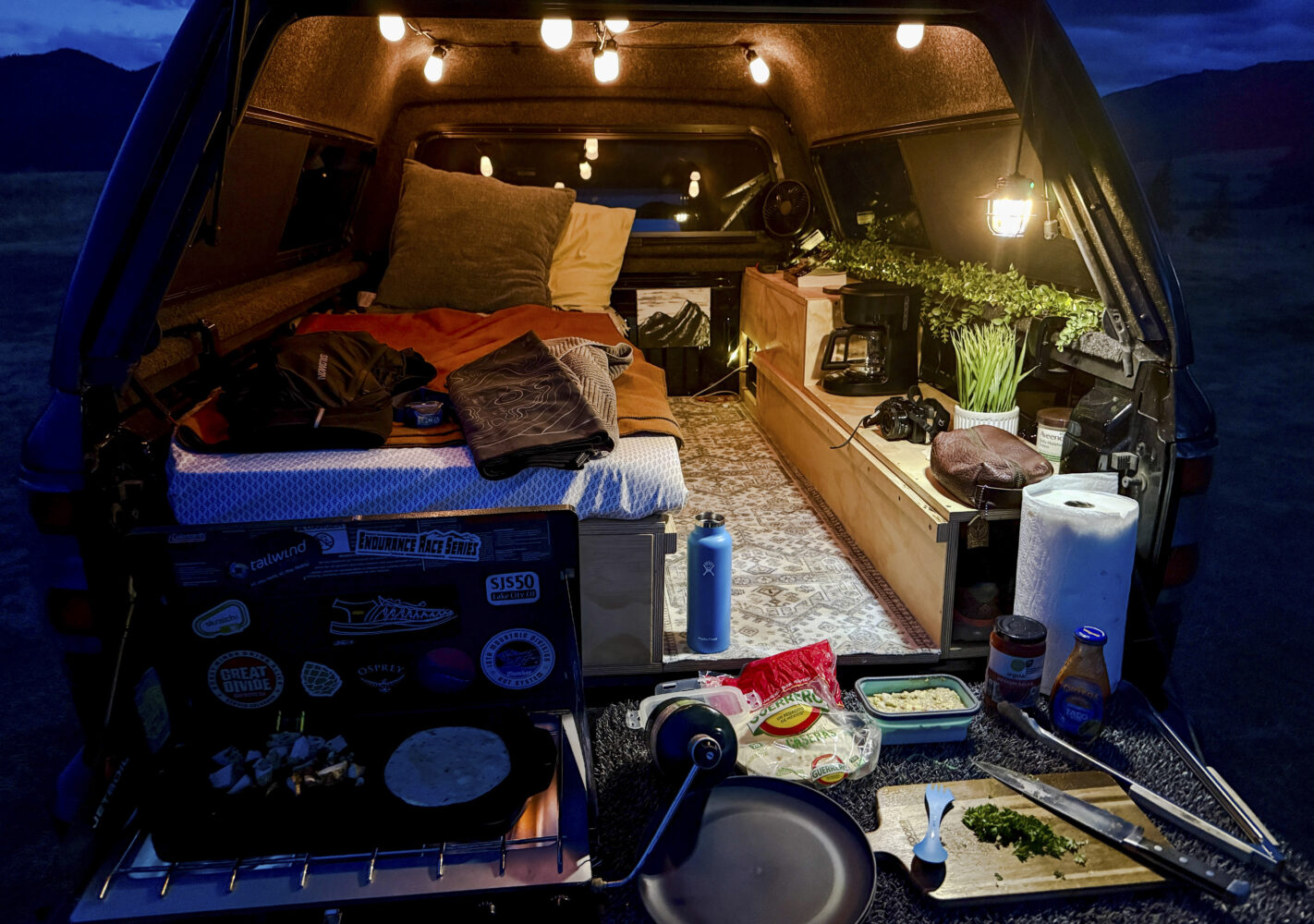
The newly built truck camper made for a nice place to hit the sack. This was a long overdue project.
The next morning I headed southeast from Thirty Mile along the Squaw Creek Trail, intent on hitting reclusive Weminuche 13er Chief Mountain.
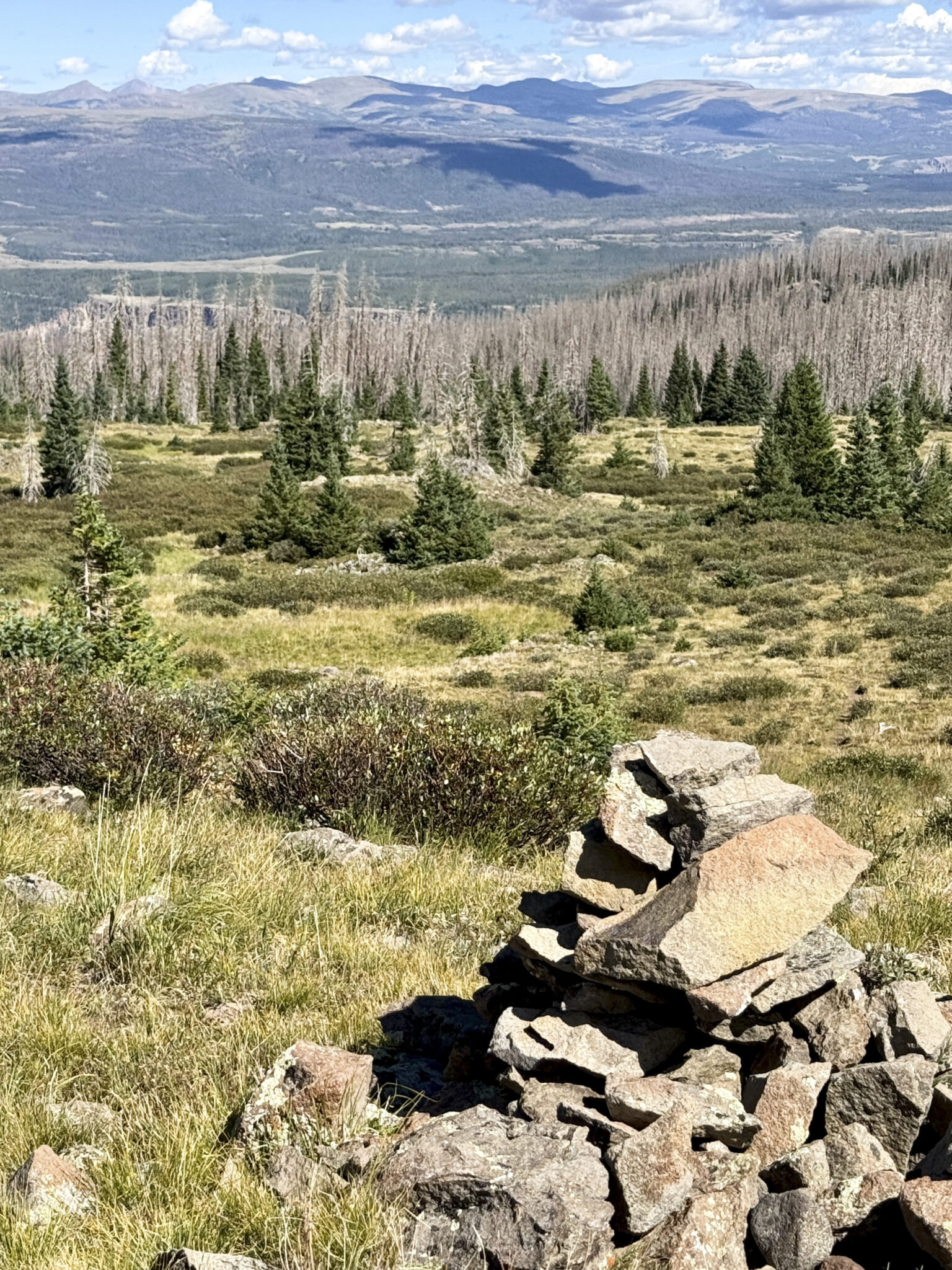
Above the alpine after a long approach. It’s crazy to see how much beetle kill there is these days.
Chief Mountain is a docile peak made challenging only by the distance required to get to it. Being at least 8 miles from any trailhead and the second easternmost 13er in the Weminuche (west of only South RIver Peak), it felt like a pretty remote area to be heading into solo. But the weather was absolutely perfect and the magical, nostalgic lure of the Weminuche had me in good spirits throughout the day.
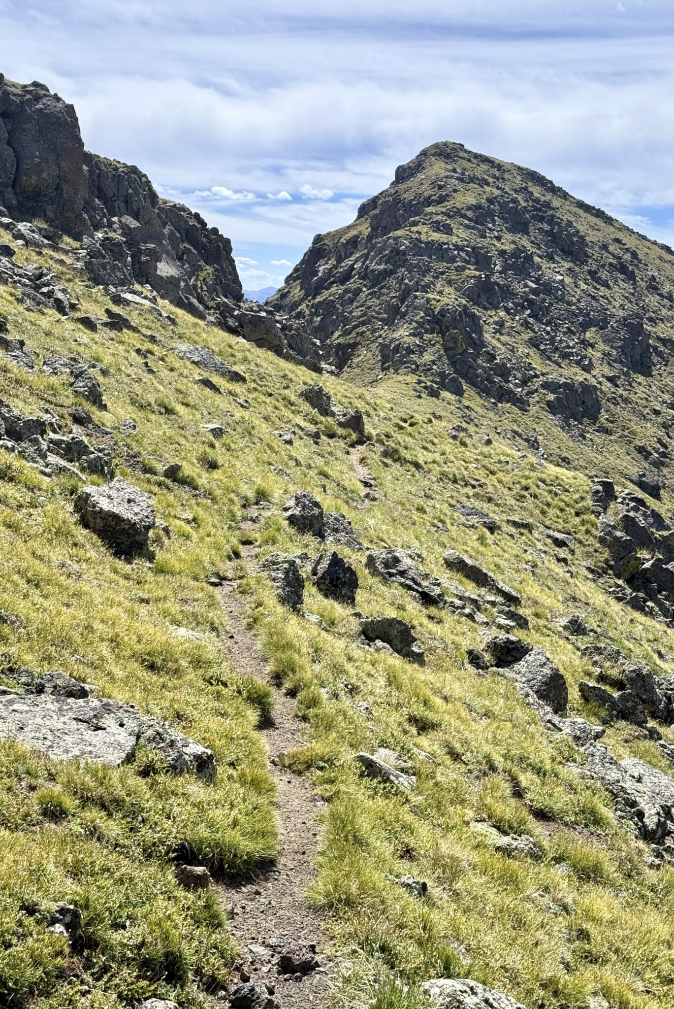
The final summit climb up The Chief.
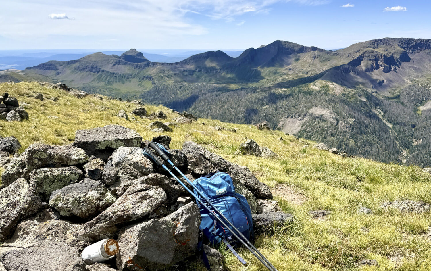
The well-earned summit of Chief Mountain (13,019 feet).
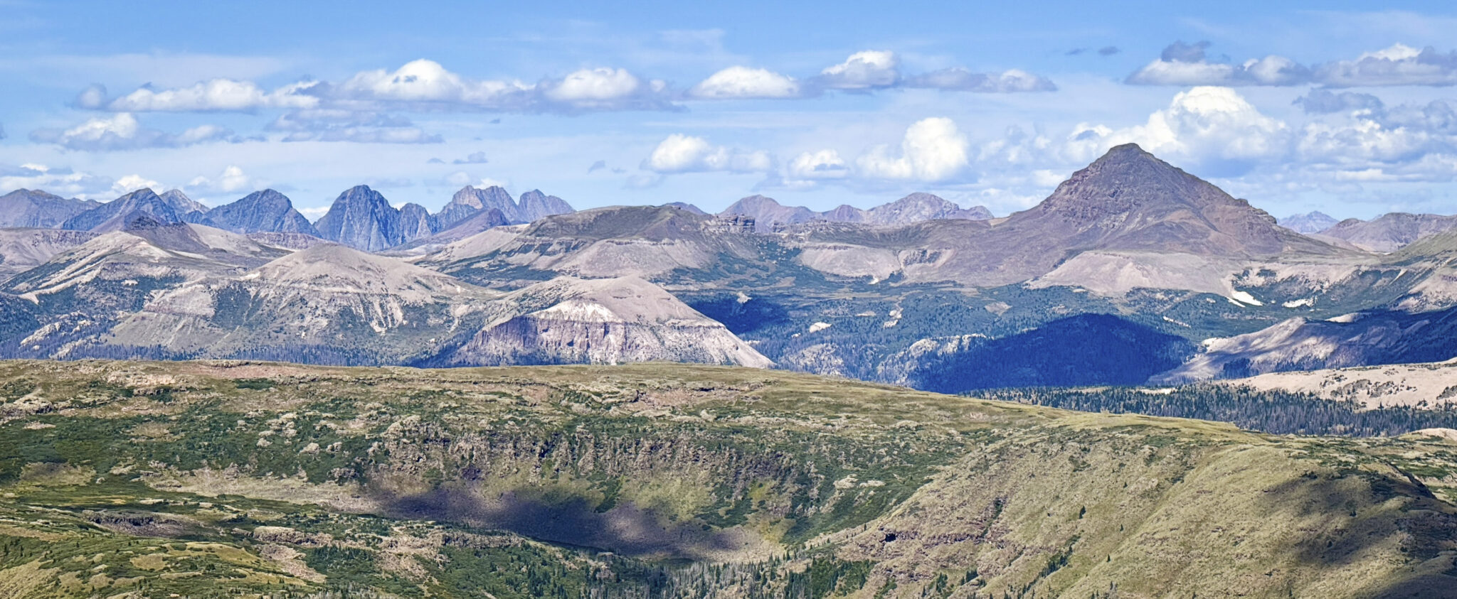
And a summit panorama with RGP and Co a few drainages to the west. Vintage Weminuche.
Dinner at Kip’s in Creede and a pit stop at Elevation in Salida put an endcap on a fine weekend in the San Juans… and the list that never ends got a little bit shorter…
Thanks for reading 🙂