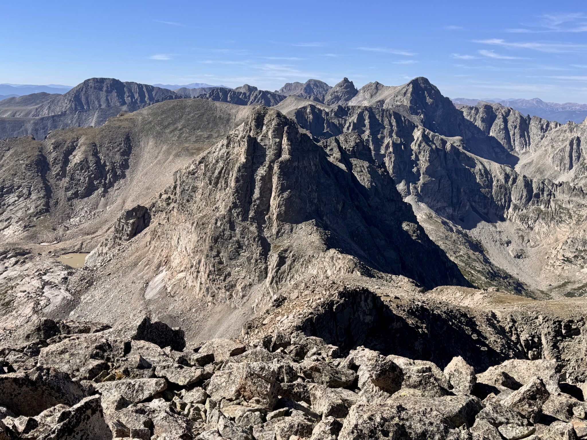
Looking North towards Mt. Toll and the rest of the IPW high peaks from the summit of Paiute.
- Peaks:
- Mount Audubon – Pt 13,217′
- Paiute Peak – 13,094′
- Mount Toll – 12,979′
- Pawnee Peak – 12,943′
- Shoshoni Peak – 12,967′
- Route: Mt. Audubon to Shoshoni Peak: counter-clockwise loop via the Continental Divide
- Climbers: Solo
- Distance: 14 miles
- Vertical Gain: 5,325 feet
- Date: 8/21/26
- Strava Track: https://www.strava.com/activities/19841998997
The Indian Peaks Wilderness is an area that I (surprisingly) just haven’t spent much time in during my mountaineering wanderings. This is in spite of the fact that I, A) Went to CU, a mere stone’s throw away, and B) Lived in Westminster for years. I guess I always had other objectives in mind during both other phases of life. Go figure.
Anyway, I realized I had only actually ever been to the IPW twice. Once was on a scramble up Audubon’s very fun Southeast Ridge. But the whole cirque was socked in that day, granting almost no views. The other time was during a thrilling climb up Lone Eagle Peak. But seeing as that was from the other side of the IPW, I still felt like I had minimal familiarity with the main Mitchell / Brainard / Isabelle Lakes areas. All of this was in need of an alpine remedy.
After plans to do the Ripsaw Ridge in the Gore fell through, I started exploring other options. When a last minute parking reservation for the Niwot Picnic area popped up, I jumped on it. I figured that would be a great base of operations for a trail running loop of the whole Four Lakes Backcountry Zone of the Wilderness. It would be a perfect chance to give the IPW some love it deserved.
And so, after a pleasant morning drive up (sans, an encounter with an angry hippie in the town of Ward), I found myself geared up and ready to depart from the lower lots.
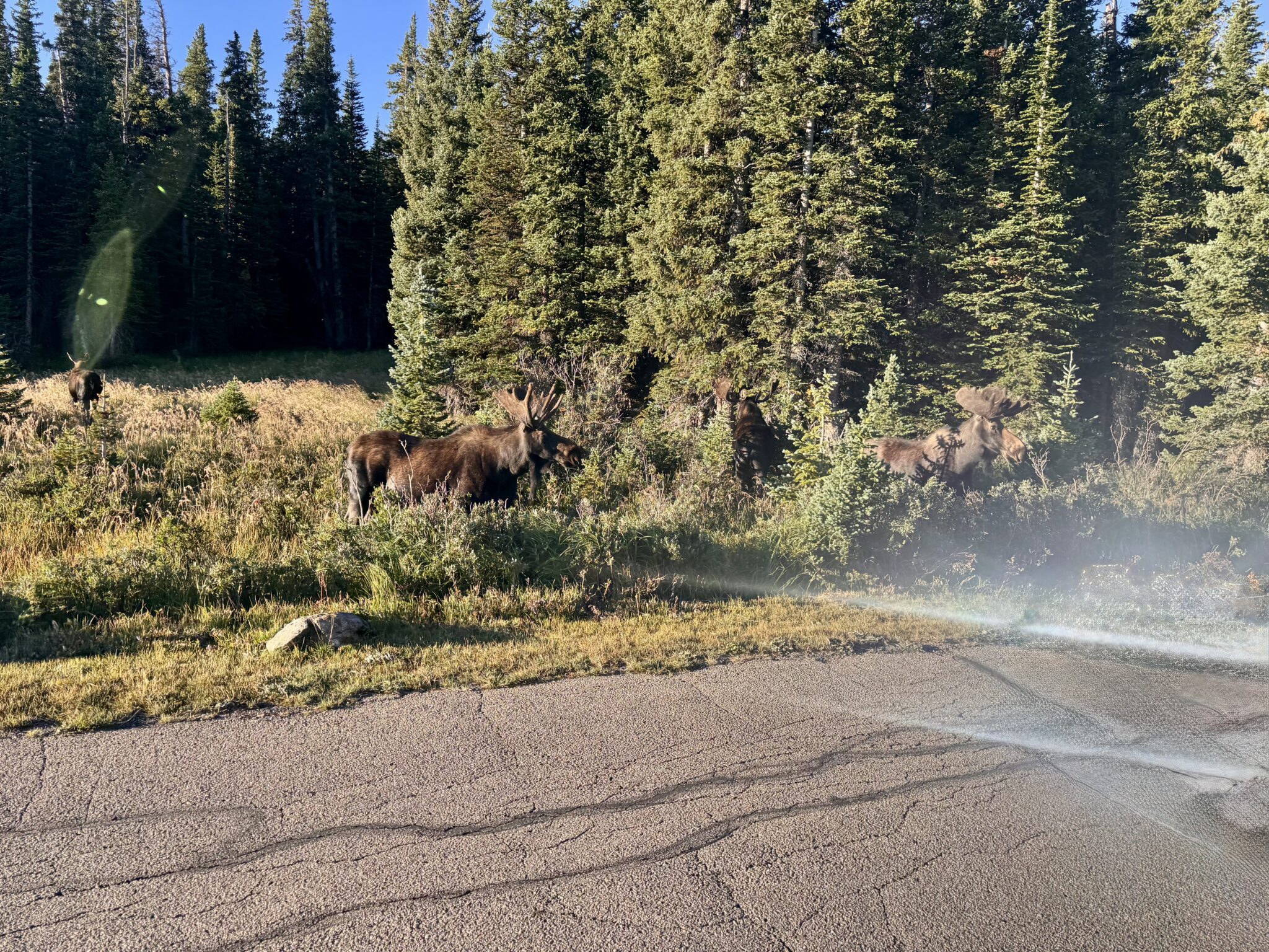
Passing a few locals near Brainard Lake on the way in. These guys were every bit as cranky as the charming residents of Ward.
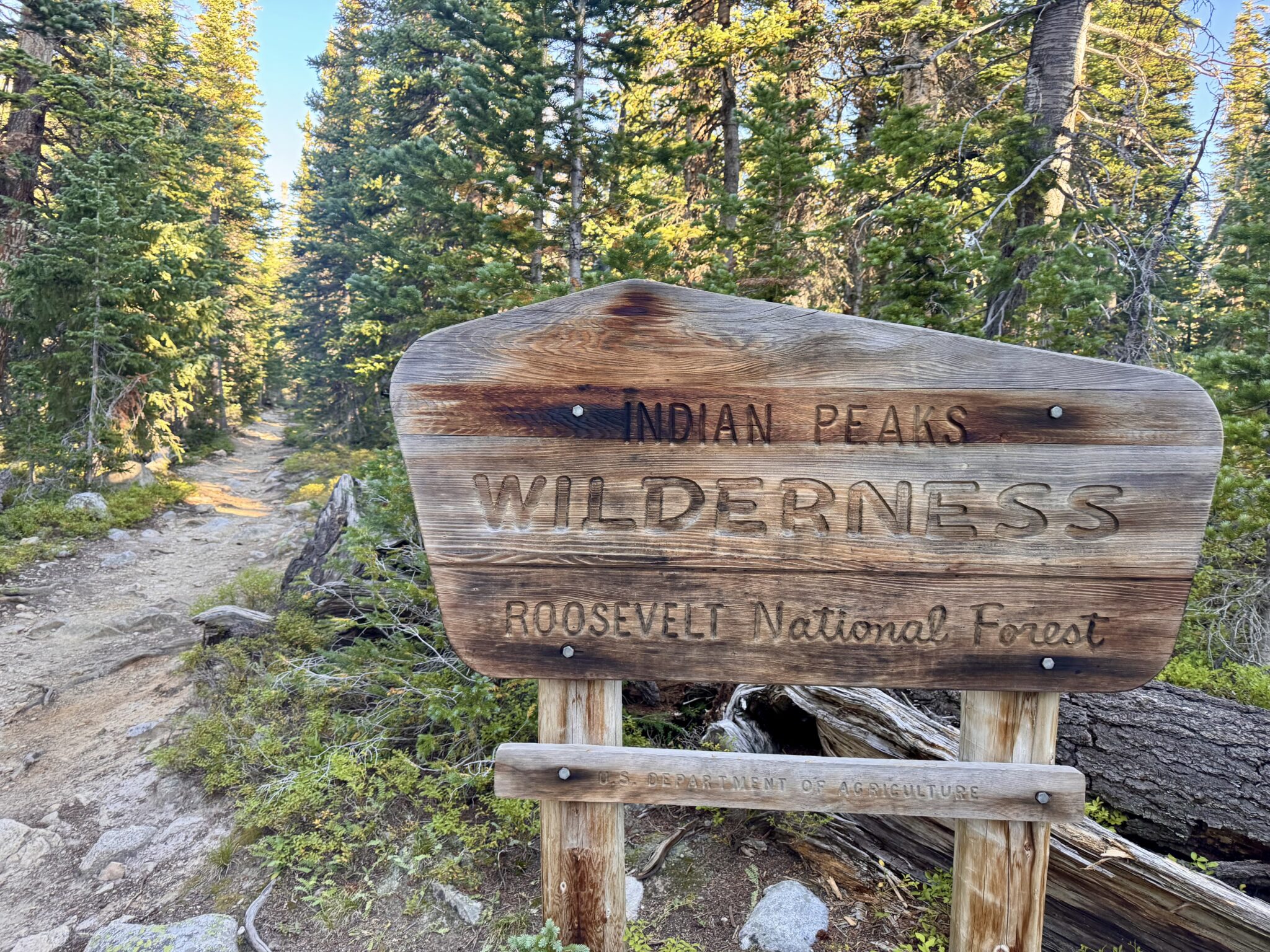
Haven’t spent enough time in here. Today would be a good step in the right direction.
I hoped to trail run as much of the day as possible. I remembered that Mt. Audubon was a popular running spot. The lower portions of this trail proved that to be true as I was able to set a relaxed yet steady pace up the Beaver Creek Trail. My goal for the day was just to stay even and take the path of least resistance wherever possible. The innumerable rocks and small boulders littering the lower trails made this somewhat tricky, however. A foreshadowing of things to come.
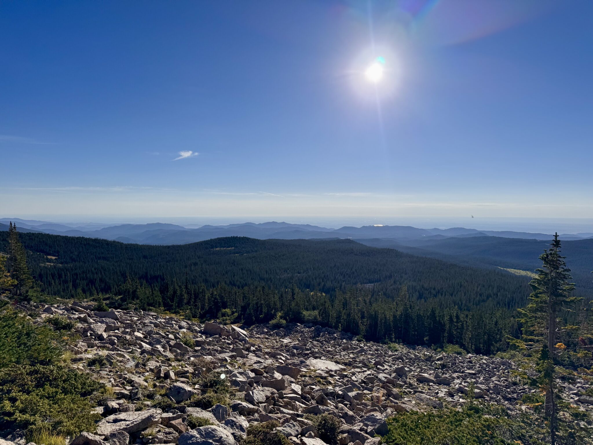
The sun rising over the Front Range. A bluebird morning all around.
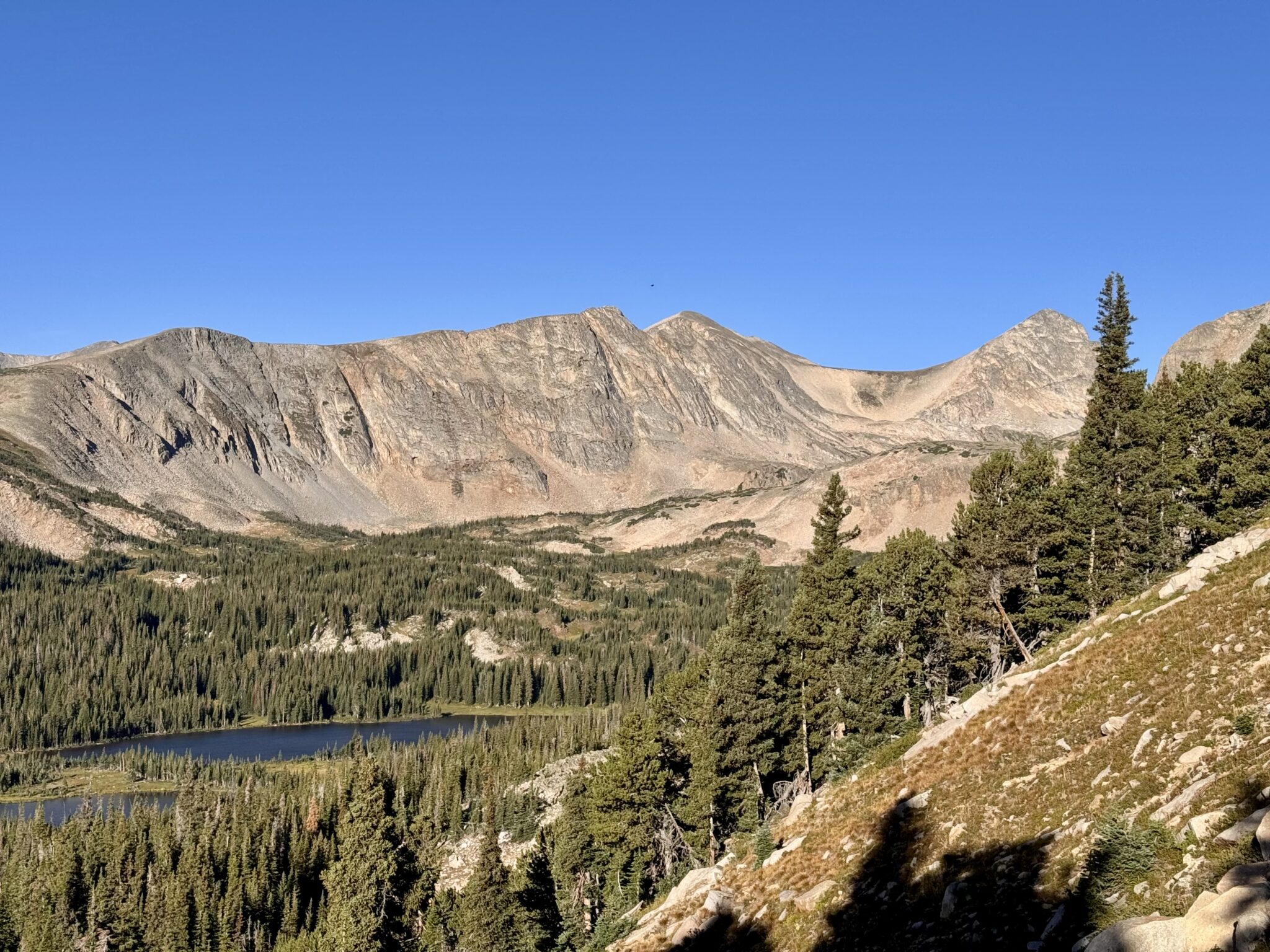
First look at Pawnee and Toll from the Beaver Creek Trail.
I was able to make solid enough time up into the alpine, passing numerous hikers en-route. This is a very popular area, that’s for sure. I wondered how many folks I would pass once beyond the first summit, though.
The top of Mount Audubon came soon enough. From here I got my first real look at what the rest of the day would have in store.
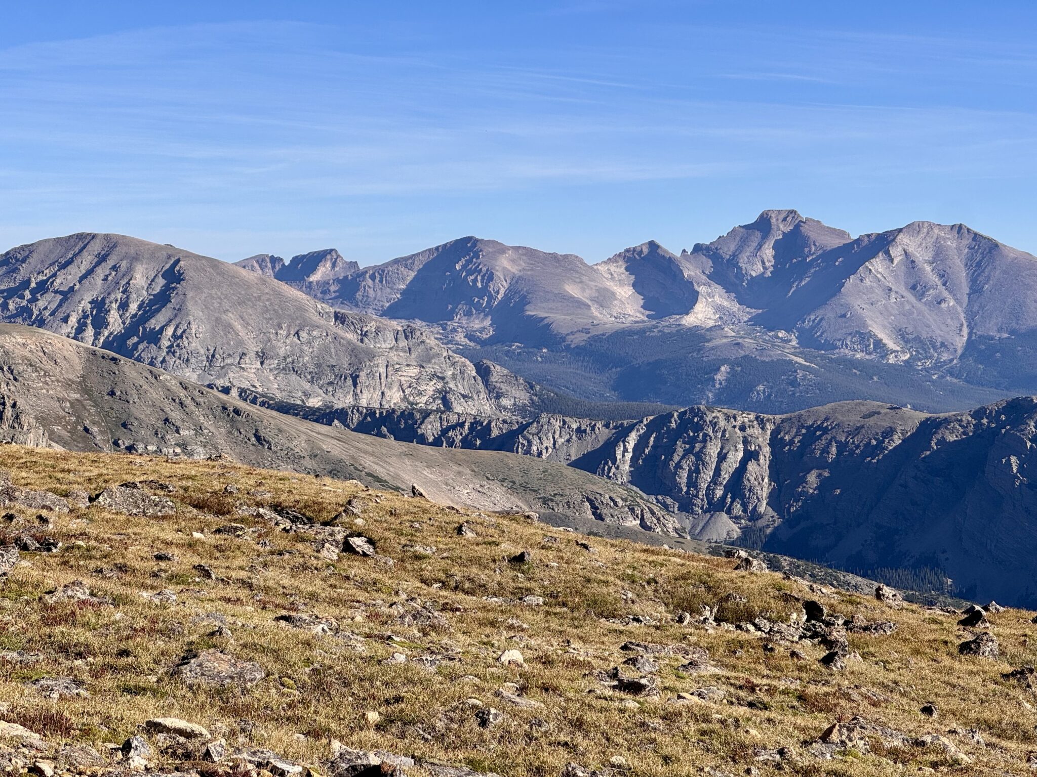
Looking north towards the Longs Peak Cirque and RMNP.
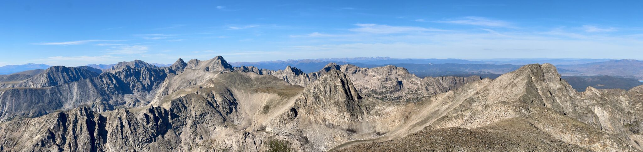
Full IPW summit panorama from the top of Audubon. All of the day’s objectives were in view. (click to enlarge)
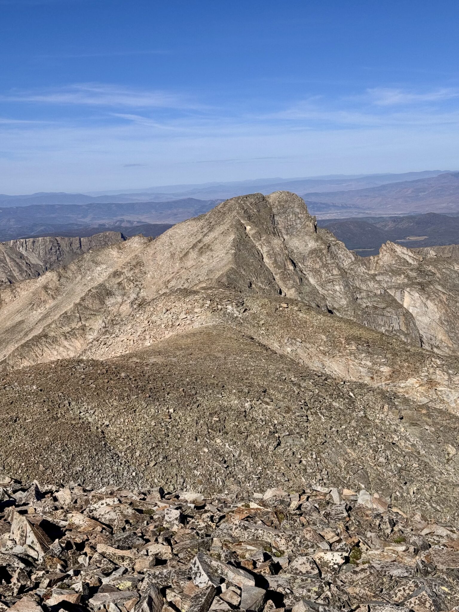
Looking ahead at the barren, blocky traverse over to Paiute Peak.
When I reached the top of Audubon the wind was howling. This was not wholly unexpected as The Divide has a well deserved reputation for being blowly. Nevertheless, winds are probably my very least thing in the mountains. I was feeling very good otherwise. So, I simply blew past the summit and started the ~1 mile long traverse over to Paiute.
This was was pretty straightforward. I was able to mainly stay directly on the ridge crest. This crossing would be pretty characteristic of the first half of the day: pretty easy class 2 walking, albeit amongst large boulders everywhere, with some class 3 sprinkled throughout if you wanted it. I jogged where I could, but the rocks were such that a sustained effort either required intense focus or the very real chance of snagging a toe and eating it along the way. I wasn’t interested in any KOMs or Anton-Krupicka-styled speed crossings, so I took mostly to fast hiking. Scrambling was found here and there, but there were always easy class 2 bypasses available.
I hit the summit of Paiute about 40 minutes after leaving. Actually, I hit the summit and the sub summit beyond, which required a bit more effort to get to. Thanks to LIDAR, I feel I have no idea what a true summit even is these days. Or the actual height of peaks. Or any other mountaineering knowledge I thought I had known. Now I just tag everything and hope that is enough to assuage all the LOJ’ers of the world.
Anyway, feeling good atop Paiute I took my first real break of the day, contently peering across towards the imposing north face of Mount Toll.
The aforementioned north face. As cool as this vantage is, I can’t help but wish Toll was another 500-1,000 taller. If it was, I feel it would easily be one of the cooler faces in the state. Alas, a lonely 12er will have to do.
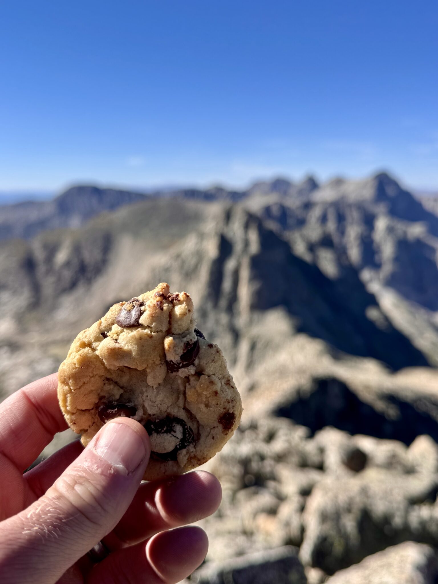
Well earned.
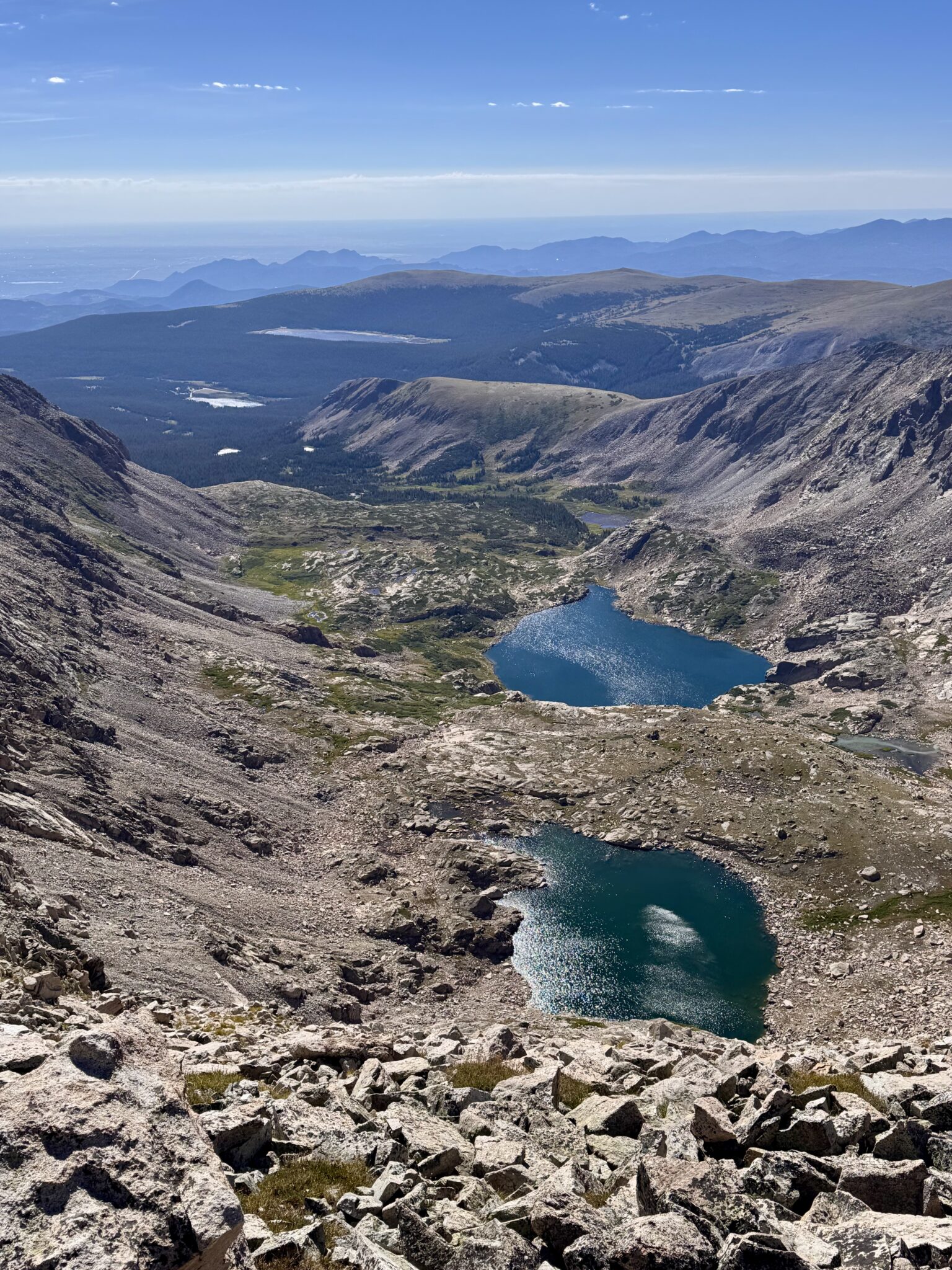
Looking down on Blue Lake and Mitchell Lake.
I knew the traverse from Paiute to Toll would be the crux of the day. But as intimidating as the north face is, I also knew there was a class 3 sneak around the northwest side of Toll’s looming bulk. Trudging down even more big boulders, I kept a careful eye out for this as I got closer to the col between both peaks. The passage wasn’t quite as straightforward as I’d expected, with a few spots where route-finding helped afford the best passage. Large boulders abounded before eventually turning loose as I got close to Toll.
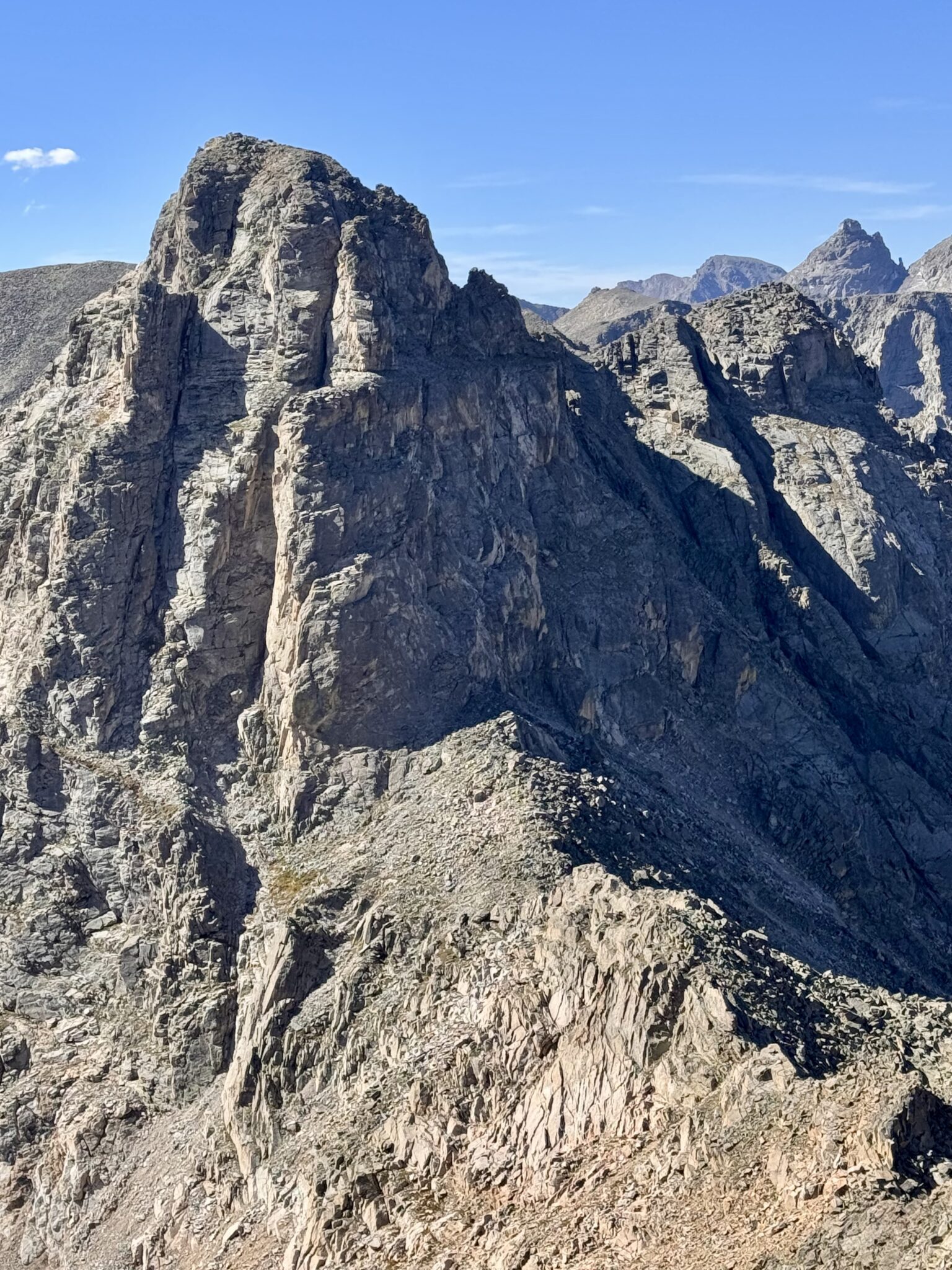
Close up of Toll’s imposing north face. There are a number of different routes up this, but all go class 5 I believe. I was still interested in the path of least resistance, which happened to be a class 3 chimney visible as a dark patch on the right side of this photo.
As I started ascending again I wasn’t immediately sure where the chimney was I was looking for would be. A few higher options looked viable, but I remembered the beta being much lower down. Staying lower and moving across the loose gulleys, I eventually spotted what I had hoped to find: cairns leading the way onwards. These would remain consistent (and very helpful) all the way through through the chimney.
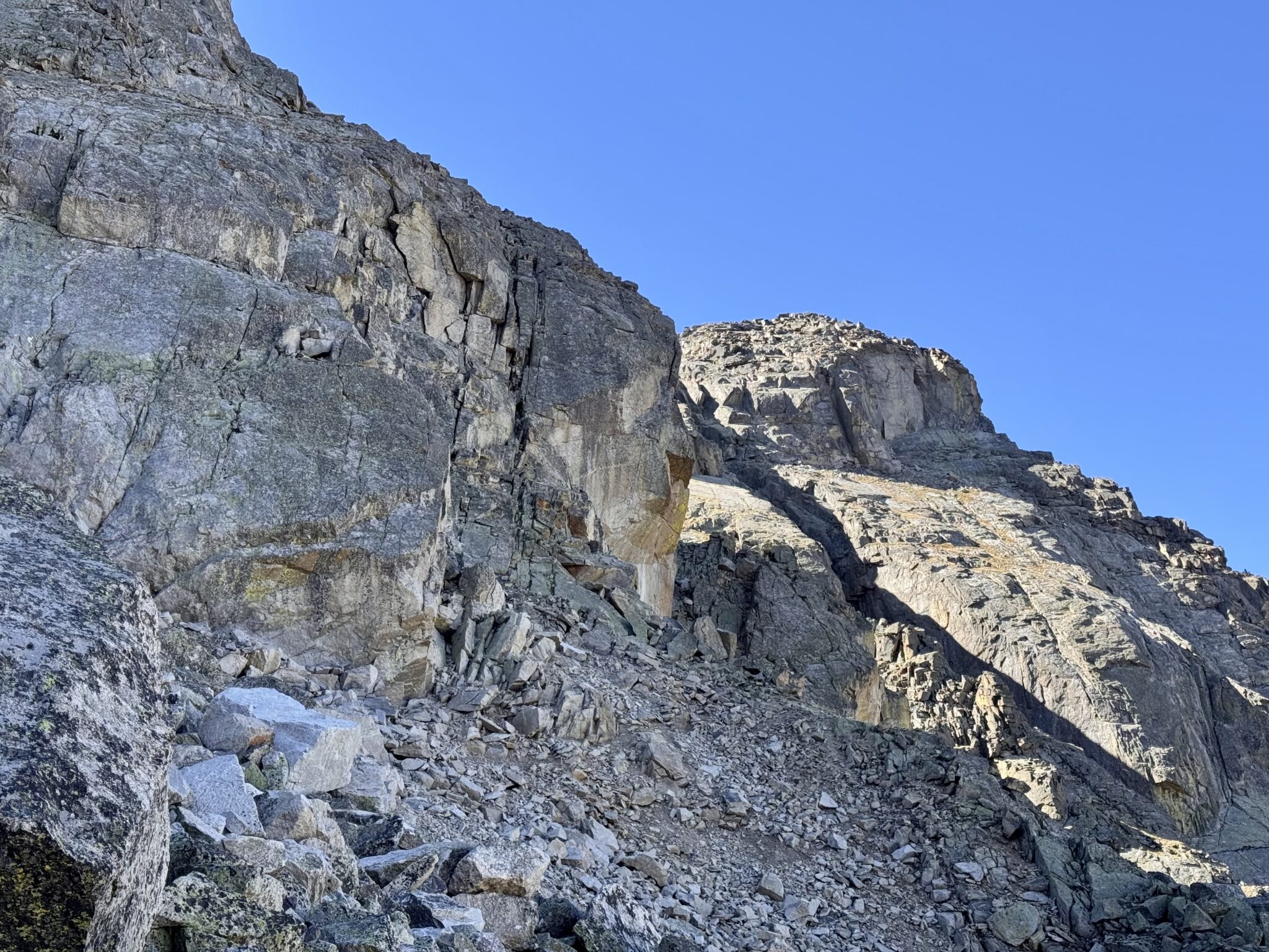
Views of some of the loose, class 2 junk traverse en-route to the class 3 chimney sneak. Cairns helped confirm the right passage through here.
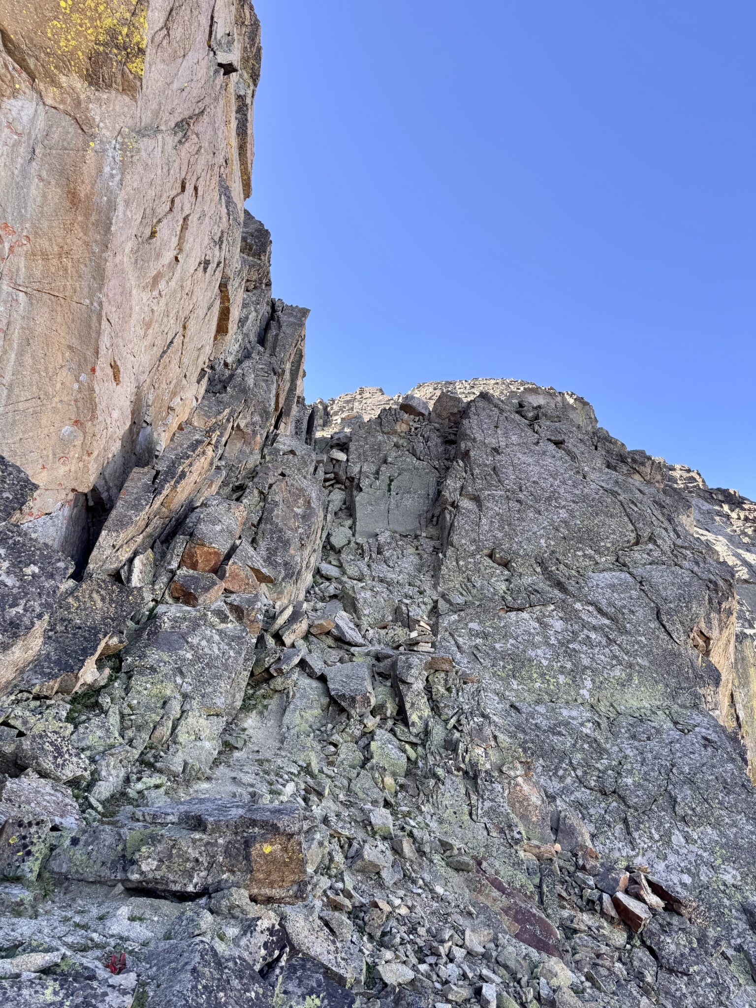
Looking up at the short and direct class 3 chimney on the west side of Toll. Not too exposed, solid rock, and rather quick. A perfect little sneak to make this cirque a much more relaxed day.
Once I made it through the chimney I paused to try to figure out the rest of the route. The cairns ran out and the most direct way up was through a dirty, loose couloir ascending for ~200′ or so. I initially took to this before unloosing several microwave sized blocks all in succession. They made quite a raucous tumble down the steep slopes beyond – something I was not pleased with at all. Not wanting to deal with those dangers and nonsense, I took to a series of class 4 ribs on the climber’s left of the couloir instead. While much more exposed climbing, I felt far safer on the solid rock. These moves proved to be the most fun of the entire day.
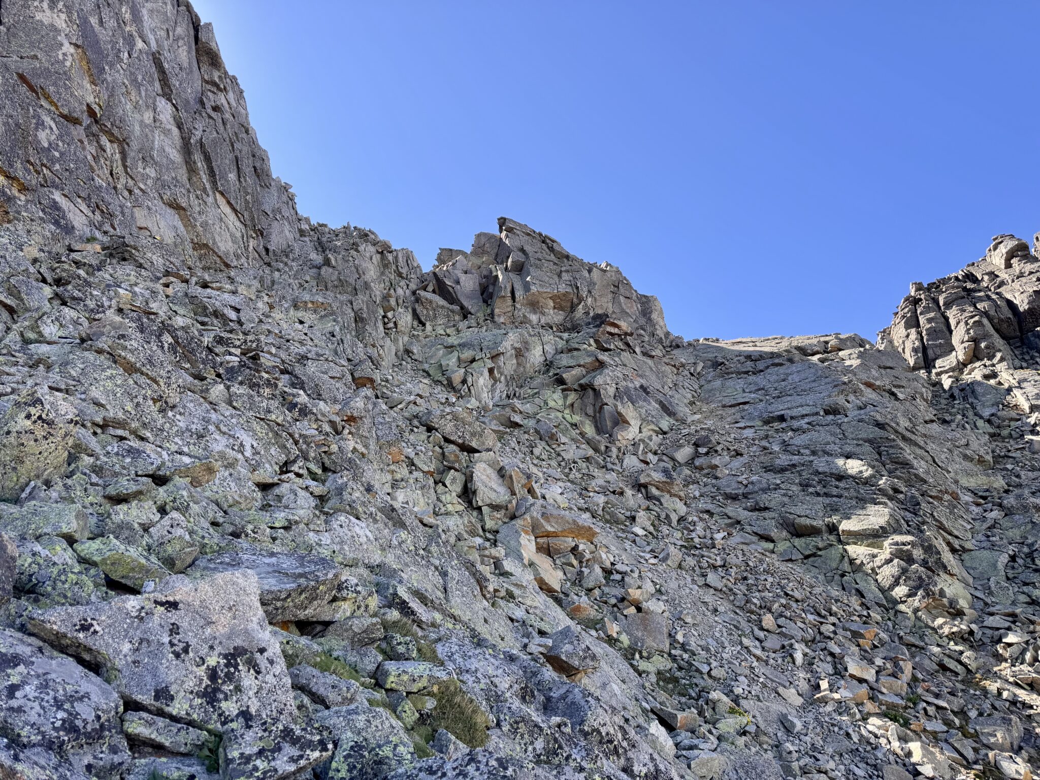
Through the chimney looking up at the final ~200 feet or so up to Mt. Toll. I’m not sure where the route proper goes, but I strayed climber’s left on solid benches to reach the exit. Fun climbing in here.
Upon exiting the coolie it was just a bit further due north to gain Toll’s true summit. With peak #3/5 complete and the route finding / climbing crux of the day behind me, I took the chance to chill for a while.
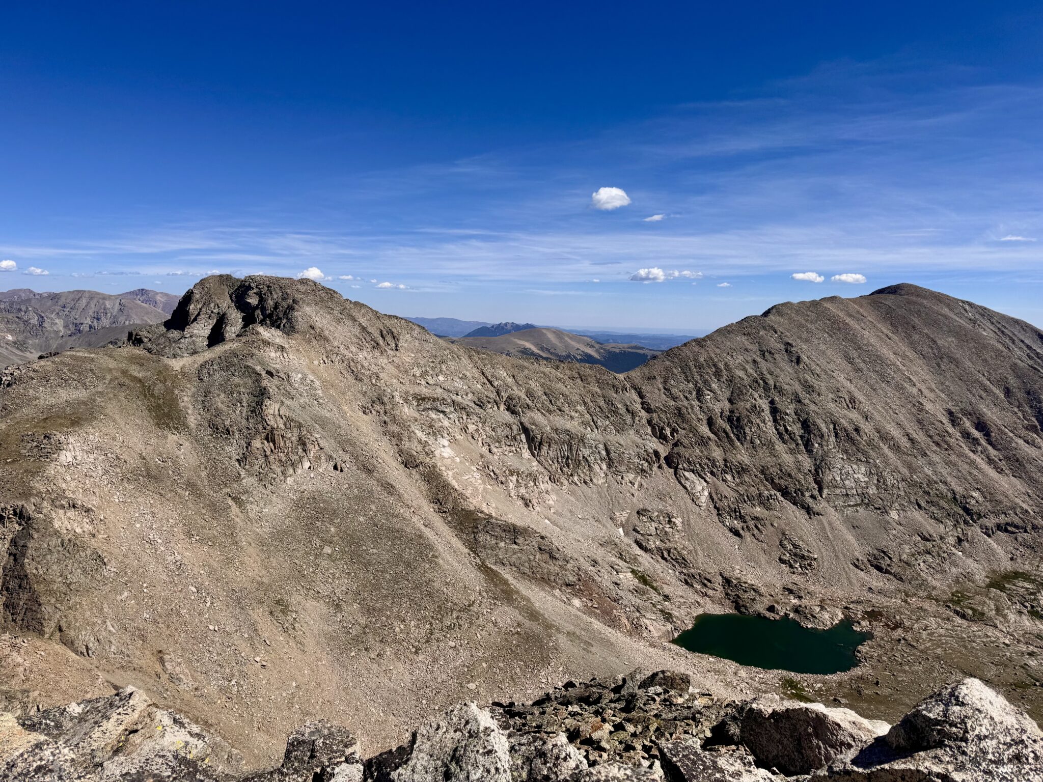
Looking back on the Audubon to Paiute Traverse.
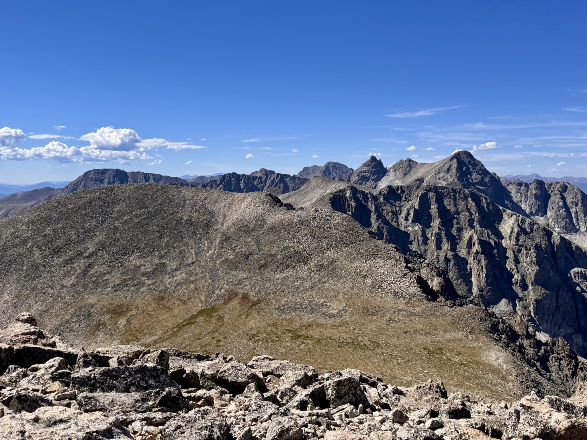
South to the next two objectives: Pawnee and Shoshoni.
I munched on a well earned PB&J and basked in the solitude of what was turning out to be an absolutely ideal Colorado summer day. I hadn’t seen a soul since leaving Audubon. The sun was shining. The wind had stilled. The temps were moderate. The skies were azure blue. And the surrounding peaks were showing off. This was about as good as it gets.
I was reluctant to leave such a fine, isolated perch. Moments like this are becoming harder and harder to come by these days. While I was ascending the big boulders on Toll I was reminded of a Ruby basin trip from long, long ago. We were much younger men then, with far fewer cares and worries than today. I found myself remembering those times fondly. I was feeling thankful for a sort of call back to those simpler times here in the midst of the IPW.
Needless to say, I was reluctant to leave.
But eventually I knew I had to go. Bidding adieu to Mt. Toll, I renewed my focus on the heaping mound that was Pawnee Peak ahead of me. Onward I went…
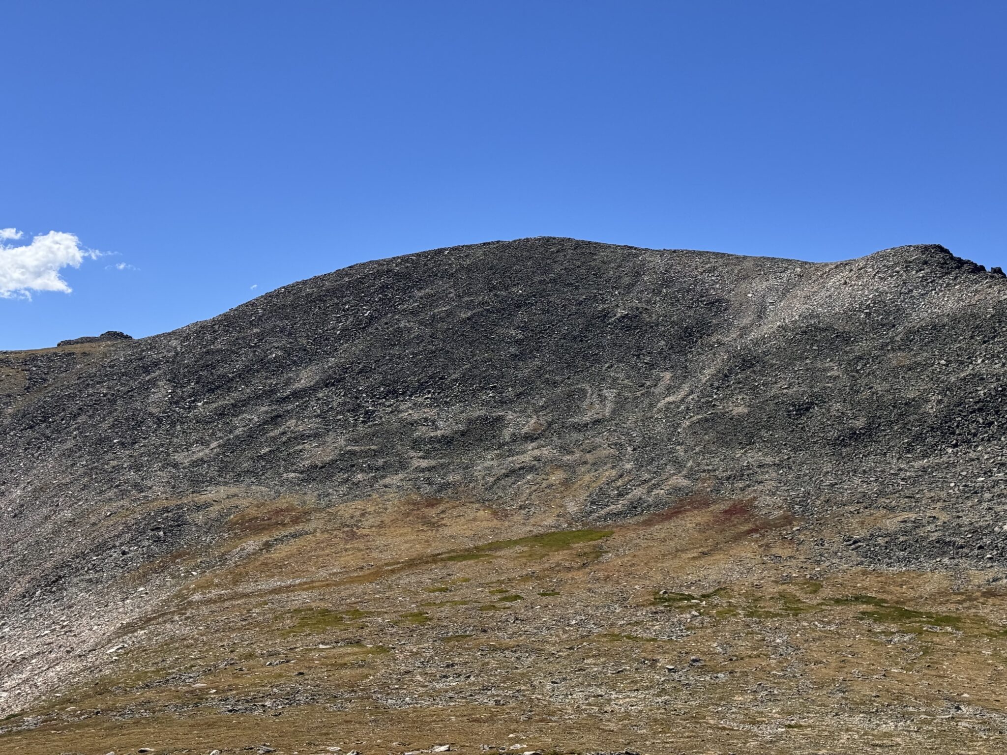
The unappealing, massive grundle pile that is the north face of Pawnee.
From afar, Pawnee’s north face appeared to be a chore. It looked big, loose, and without an obvious best way up. Up close, however, things took a turn for the better. I soon found a trundled climber’s trail ascending just west of the true summit. The vertical gain wasn’t nearly as bad as it had looked. I reached the summit a mere 22 minutes after departing Toll.
I found Pawnee’s summit to be less alluring, however. And I knew Shoshoni was still a ways off. So, after just a quick minute I moved on to the final objective of the day.
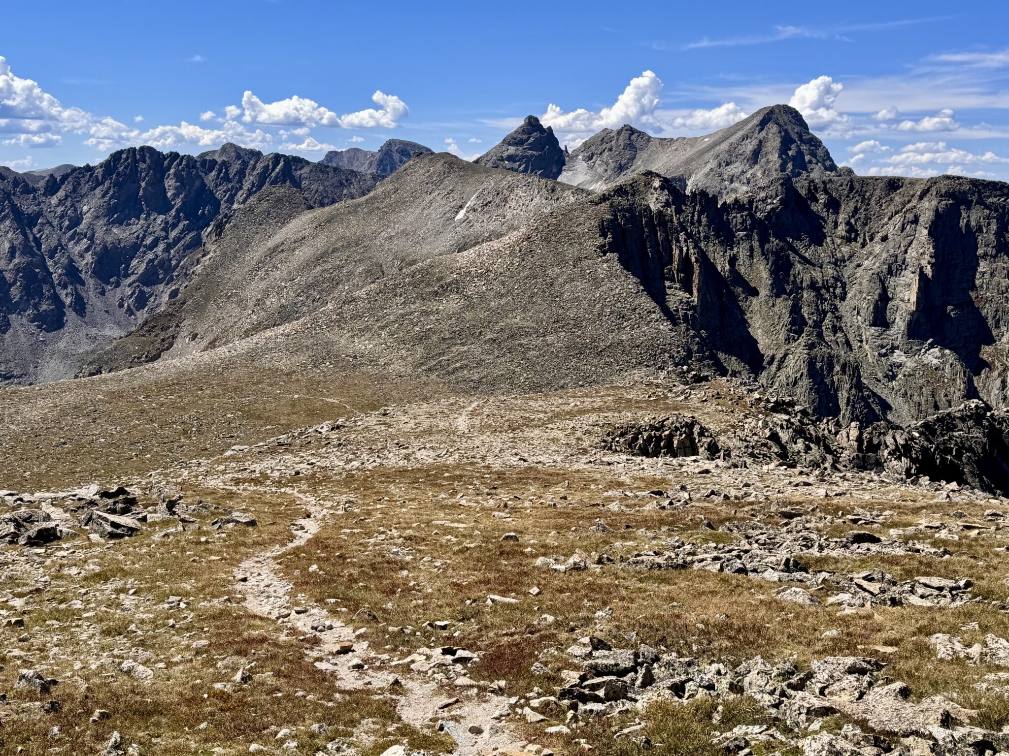
Looking south towards Shoshoni as Apache and Navaho loom beyond.
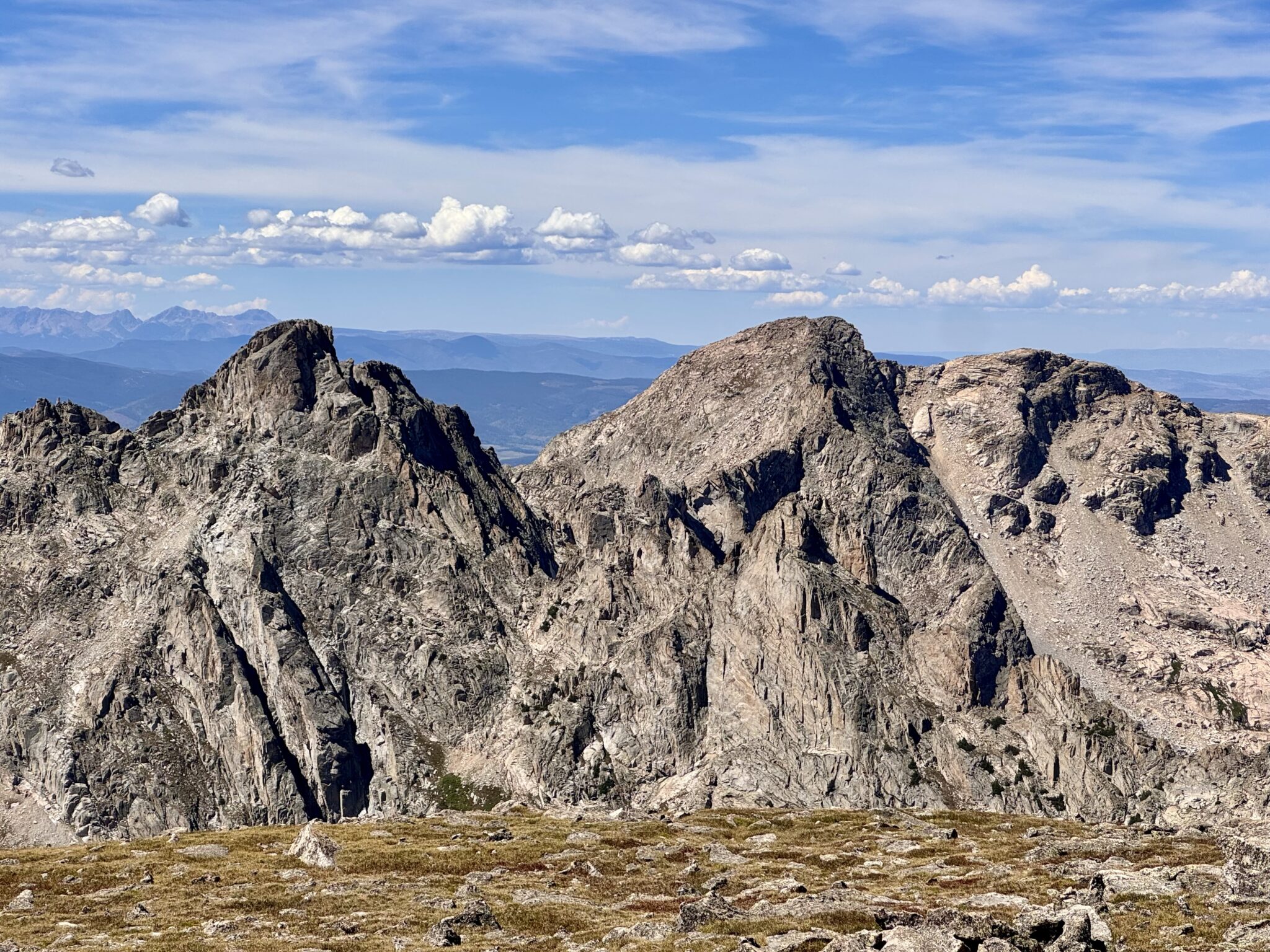
Looking across the way to Lone Eagle Peak and Iroquois, with Mt. Achonee behind. I marveled at how much more significant Lone Eagle looks from below.
Getting to Shoshoni proved to be a bit of a chore. The loose, large boulders that had been present all day reached a climax on the way over. I found myself side-hilling across a veritable sea of them, which was not a pleasant passage. Eventually they yielded, however, and I was able to complete the mile long traverse with a few quick jogging steps to the top of Shoshoni.
Again not knowing where the true high point was, I scrambled over to a very airy sub-summit nearby. Here I took my final break and marveled at the excellent vantage to Apache and Navaho to the south.
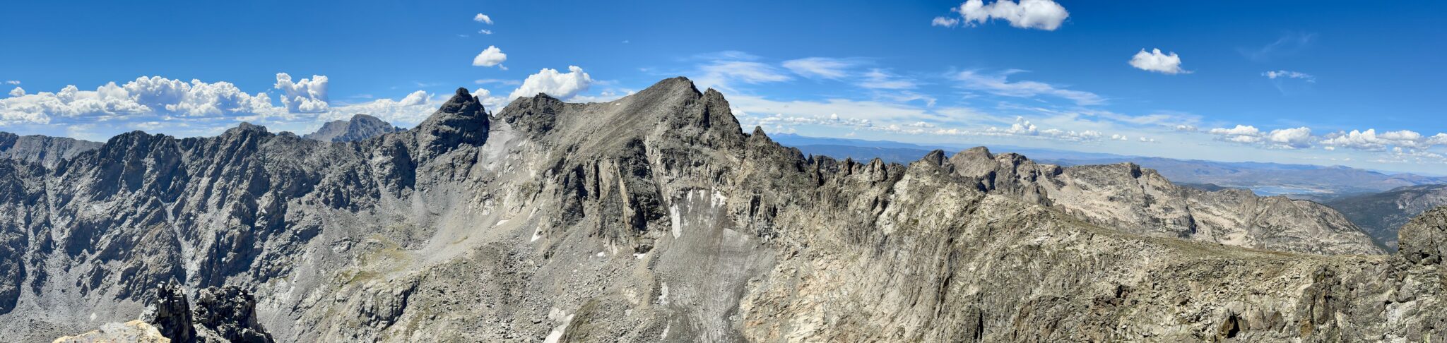
Full summit panorama from the top of Shoshoni. (click to enlarge)
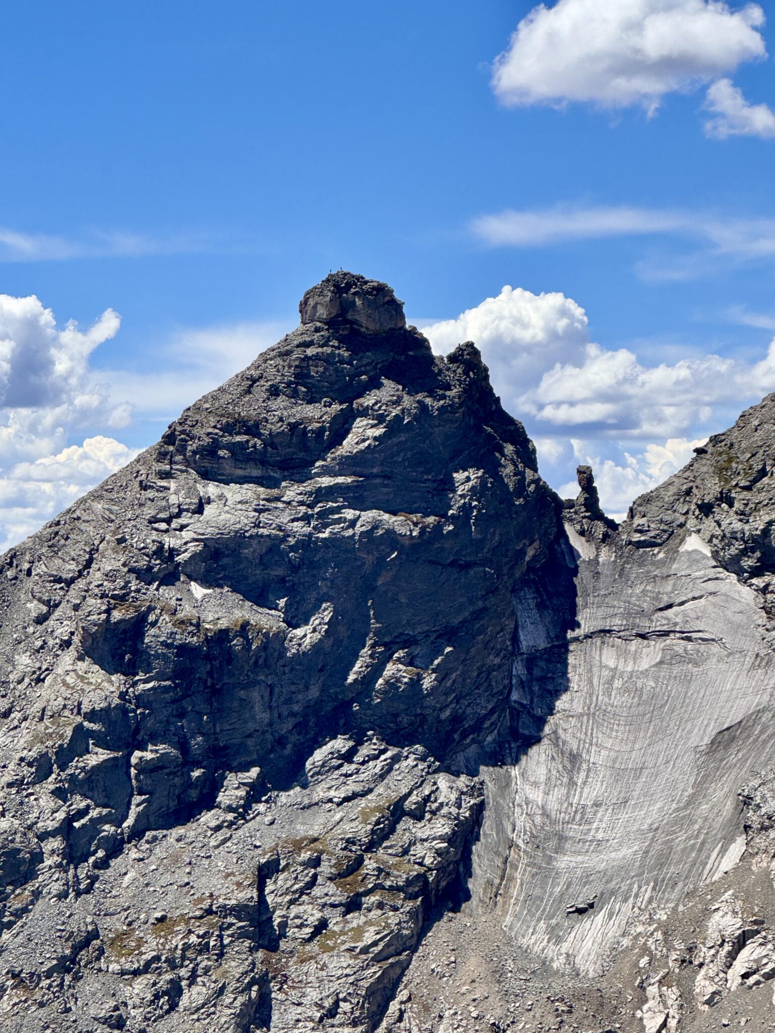
Climber’s were visible atop Navaho’s summit. What a perch.
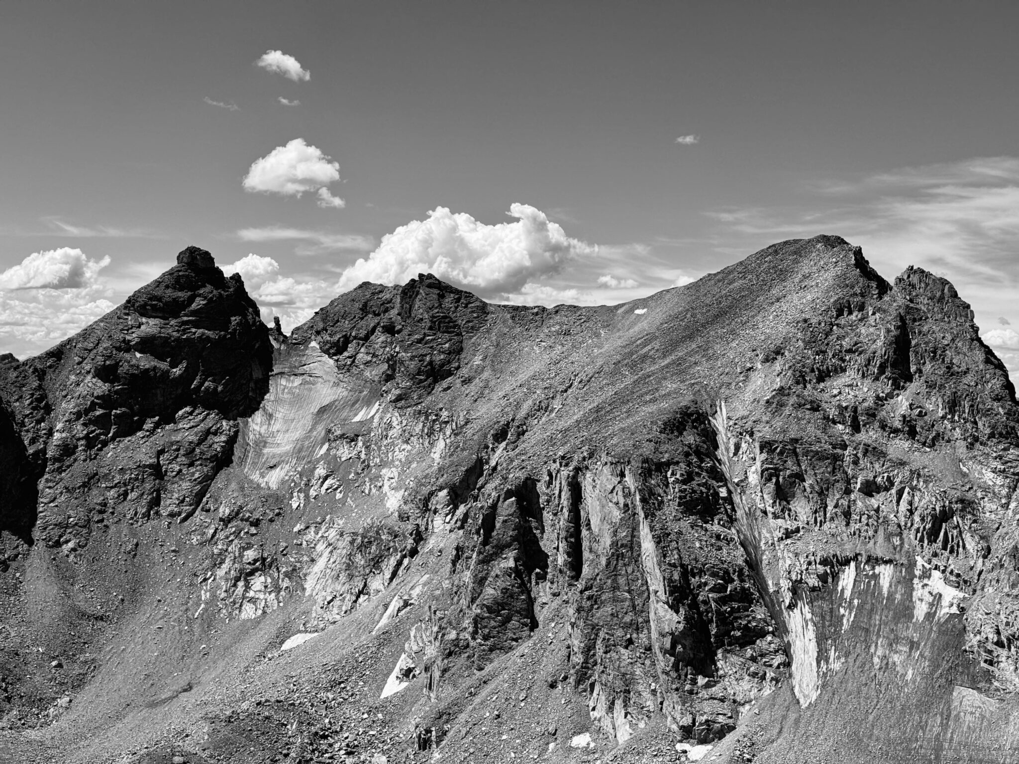
Looking back north to all four peaks from whence I’d come.
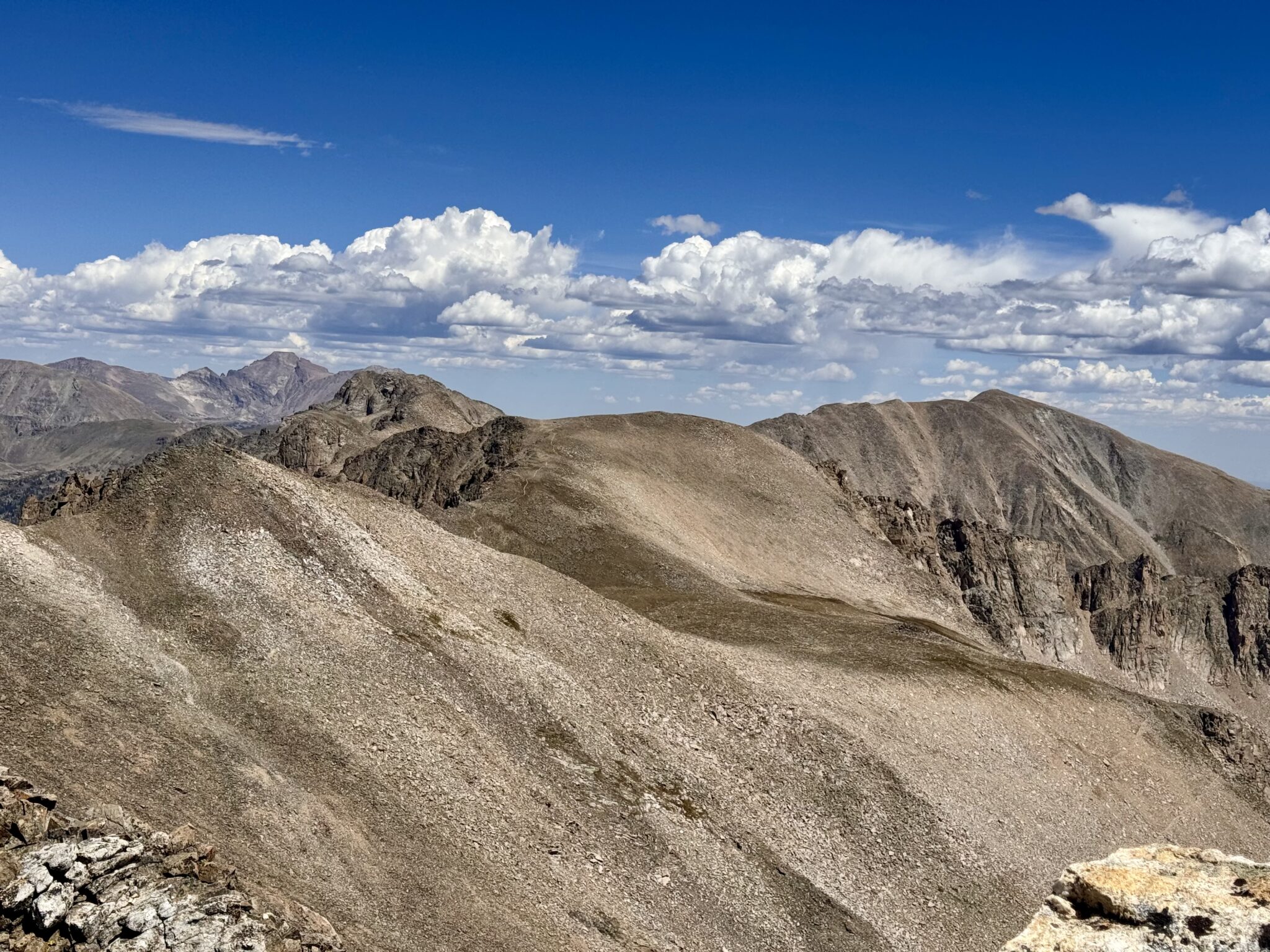
One last look towards Apache and Navaho.
I waffled a bit on the best approach down. My original plan had been to traverse all the way back to Pawnee Pass and then take the Pawnee Pass Trail from there. But given the unpleasant side hilling I’d done to get here, I was keen to avoid a repeat if possible.
Descending Shoshoni a bit to the north and then going straight down the east face looked like a viable option. It didn’t look too steep or the terrain too heinous. There was a ton of scree to be sure, but I’d been dealing with that all day. I took a shot.
Thankfully this went well enough. Not the jog out I was hoping for (yet), but I soon found more cairns which confirmed this was indeed the path of least resistance. I eventually re-joined the trail at around 11,800′ with nothing worse than a jammed finger and a lump on my shin from whacking one particularly stubborn boulder. A small price to pay for cutting off such a big loop, I figured.
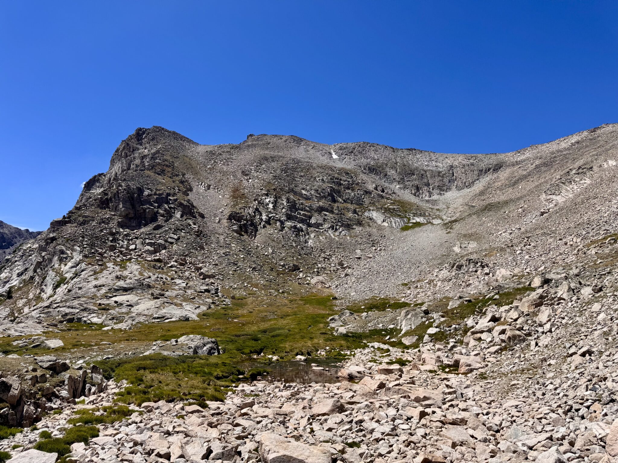
Looking back up at Shoshoni. I descended the scree far looker’s right of the cliffs in this photo. From this photo, alternative options look possible. But I feel confident I took the lowest angle, which helped manage all the loose choss.
All that was left to do was jog the ~4 miles back to the car. I was finally able to actually run on the excellent trial now though, which felt great.
All the usual accoutrements for a trail of this much use followed. Highlights included: a very enthusiastic and encouraging Aussie (a trend with them, I’m discovering), boomers by the dozens, dogs (which for some reason are allowed in the IPW), lots of fly fisherman, and two young women who I absolutely scared the crap out of when I completely wiped out just as I approached them from behind. I’d love to hear their retelling of this encounter. I think they were 100% convinced it was a bear crashing out of the woods behind them. Needless to say, they were beyond relieved when they realized it was just my dumbass, who had waited until seeing the two most beautiful women of the entire day to trip on a tree root and eat shit across the entire trial. Gotta stay humble out there…
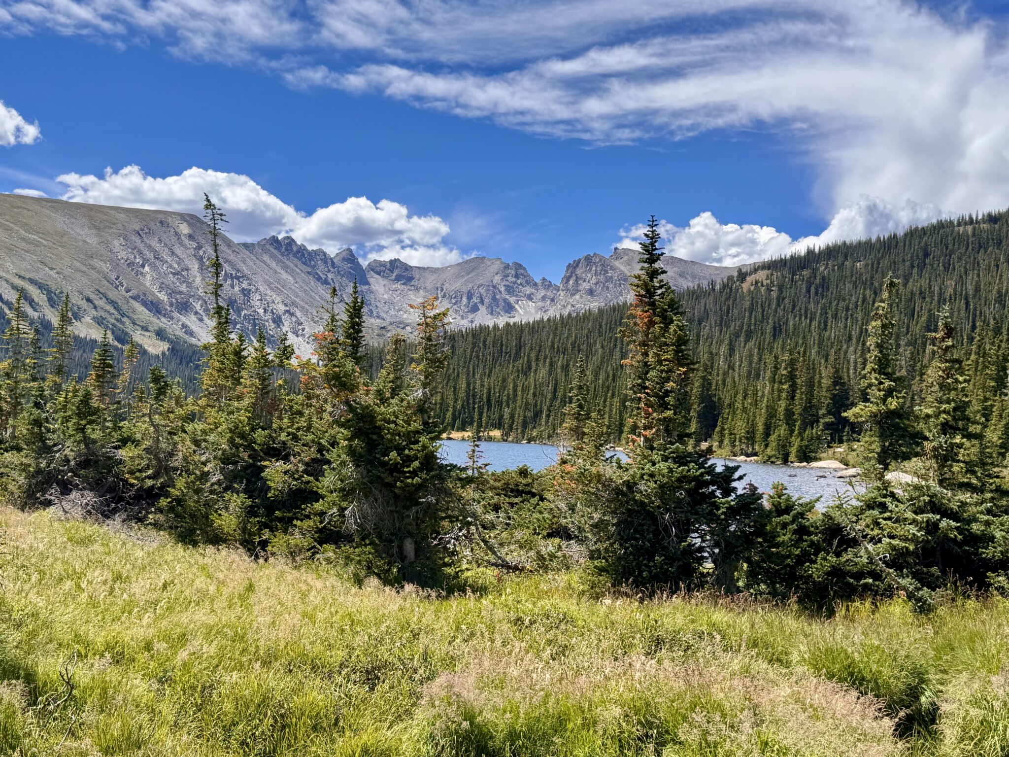
Last look at Long Lake and the high peaks beyond.
I eventually reached the car and took some well deserved recovery time (for both body and pride) at Brainard Lake.
All in all, this was an A++ day in the IPW. I couldn’t have asked for a better chance to visit some long-overdue areas. I was thankful for the safe passage and sublime journey. This is a spot I’m sure I’ll be coming back to again soon.
Until then, thanks for reading if you did. Happy climbing!
Epilogue: Time Splits
As mentioned, I did this as a trail run. But that really was only really possible (for mere mortals like myself, anyways) for the opening and closing miles. The rest I mainly fast-hiked. I kept a pretty steady pace, but this could definitely go much quicker for a determined crew and without any pauses for route finding.
Anyway, here are my splits:
- Niwot Picnic Area (approx .50 miles from the main TH) to Audubon: 1:28:02
- Audubon to Paiute: 39:04
- Paiute to Toll: 53:56
- Toll to Pawnee: 21:58
- Pawnee to Shoshoni: 40:28:
- Shoshoni to Niwot Picnic Area (+some ‘bonus’ distance to hit an even 14 miles for the day): 1:28:23
- Total Moving Time: 5:24:18
Great outing, Dave! Paiute is a great perch and Toll, I think, was worth the price of entry. Loved the pics. Let me know if you want to nab Navajo and Apache some day.
Thanks, Steve! We’re way overdue to get out together. Navajo and Apache are certainly on my shortlist, but I’m game for whatever!
Looks like a superb solo day out! It’s funny, I barely remember my days in the IPW but your pics of Toll, Paiute, etc bring back some nice memories of that area for sure. Some of these trips, Ruby Basin included, seem like such a bygone era, I agree!
Bygone era indeed. Been a lot of trips up and down these peaks. We’re way overdue to get back out on one together!