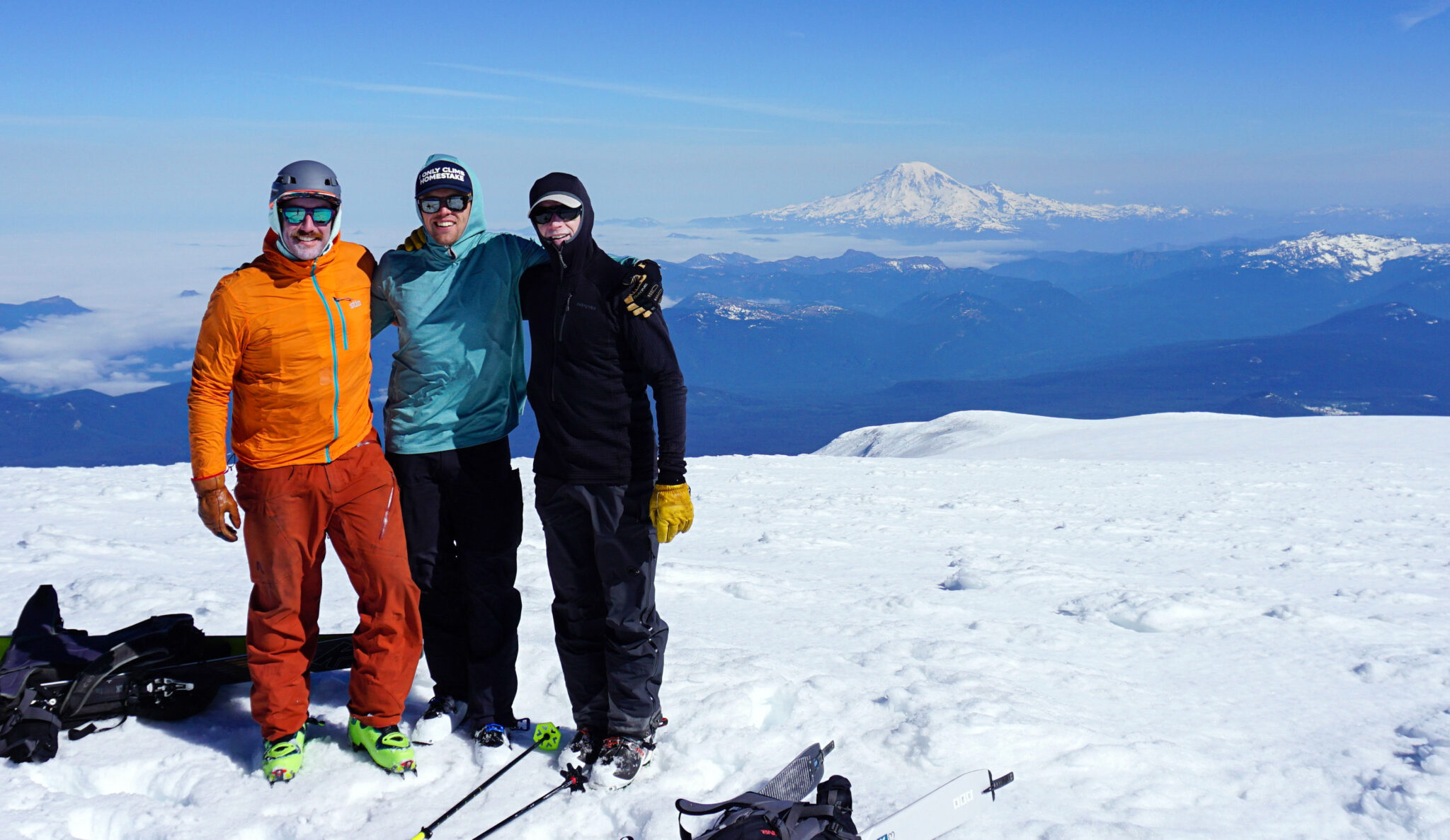
Summit of Mt. Adams, Washington, with Mt. Rainier in back, May 20th.
After a successful ski of Rainier the day prior, Dylan, Nolan and I packed up and motored down to Trout Lake, a small town between Hood River to the south and the Mt. Adams Wilderness area to the north. With near-perfect weather continuing to hold throughout the weekend and two more climbing days before our flight home, we knew we had a great shot of skiing Mt. Adams and potentially even Mt. Hood.
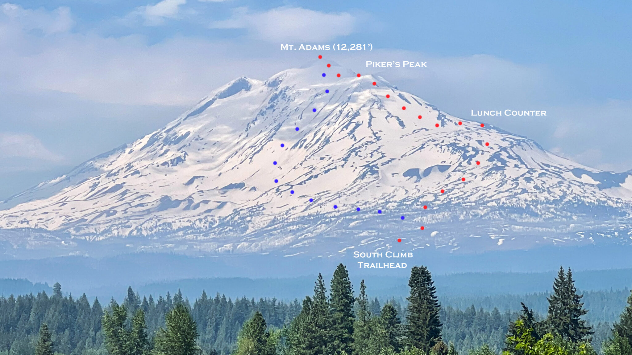
Mt. Adams seen from near Trout Lake, WA. The ascent route is in red and the classic ski route, the Southwest Chutes, is in blue. There’s about 10,000 vertical feet of relief between the summit and surrounding landscape. Click to enlarge.
So we downed a huge dinner, repacked our gear and went up to take a look at the Adams access road that evening, then returned to our Airbnb for a few hours of shuteye before a midnight wakeup call. Due to snow totals in the area we had to start ~3.5 miles and 900 feet below the South Climb Trailhead and we had some dry road walking between intermittent snow drifts early on.
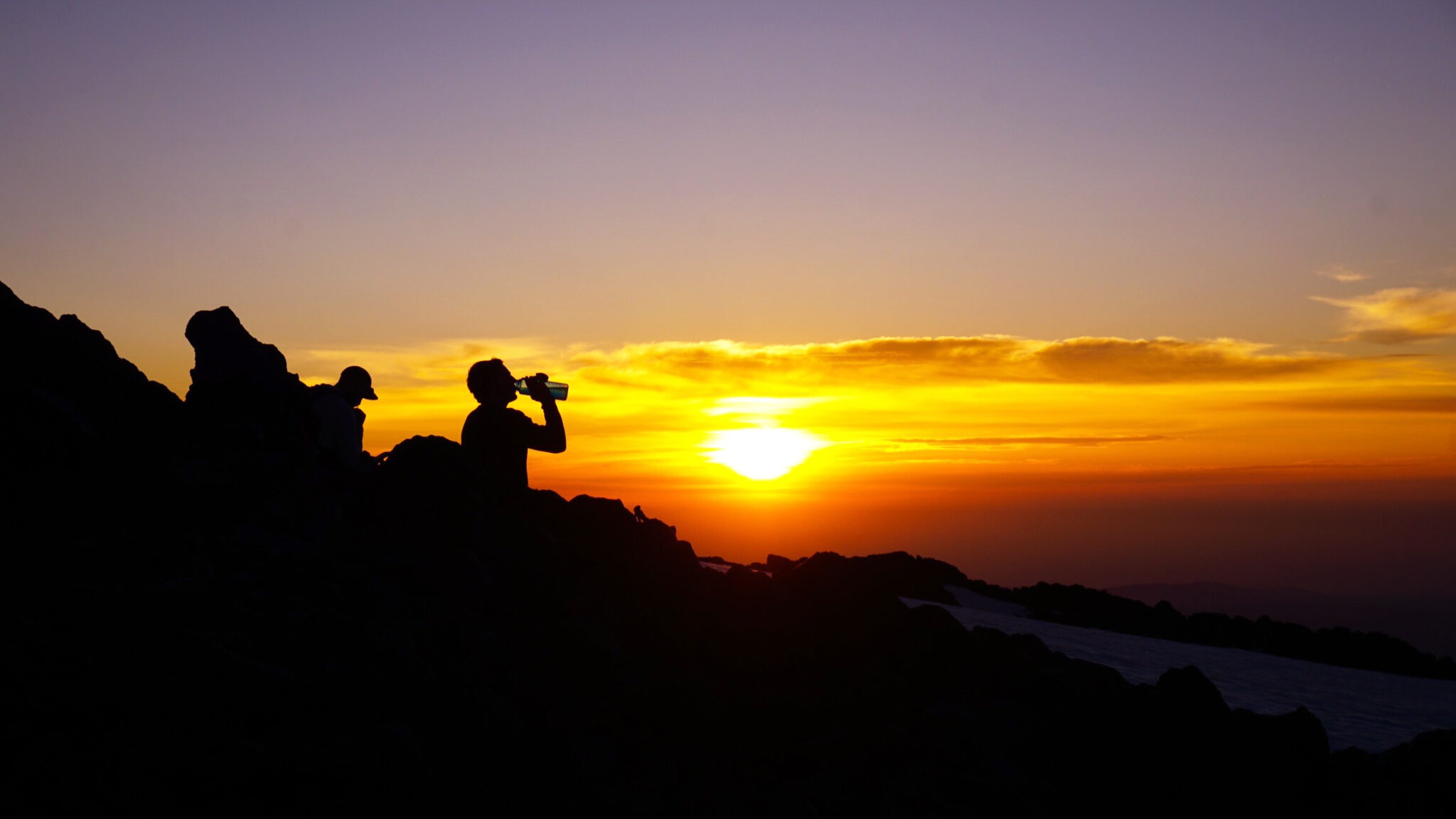
Sunrise at the “Lunch Counter”.
Mt. Adams is the second highest peak in Washington despite being 2,000 feet shorter than Mt. Rainier. With an 18-mile wide diameter however it is the largest volcano by volume in the state. The mountain boasts 10 active glaciers dropping off its flanks in every direction, and is surrounded by huge swaths of lush, Pacific Northwest forest which comprise the Mt. Adams Wilderness area on the west and south sides of the summit and the Yakama Nation Indian Reservation to the east/northeast.
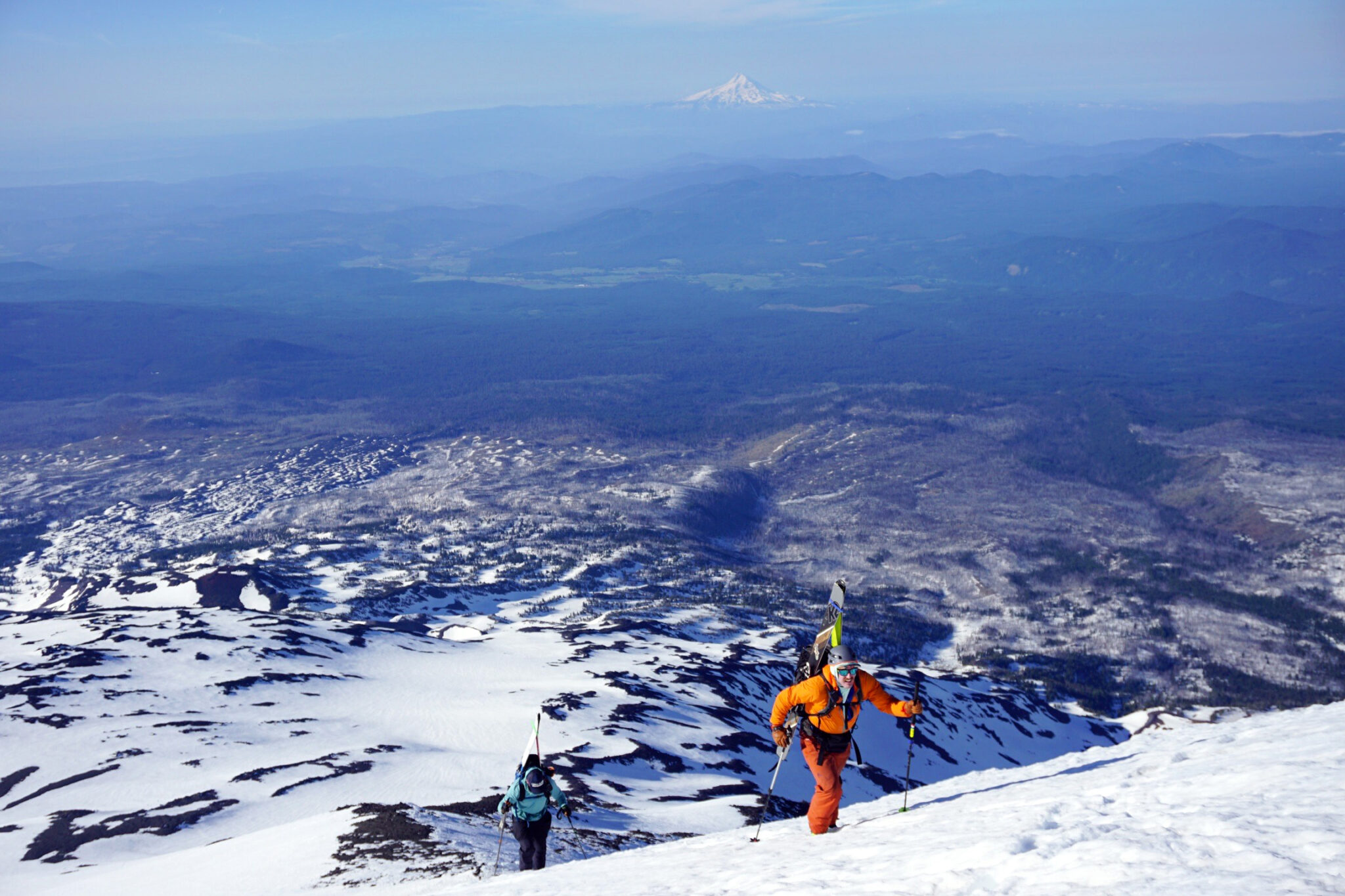
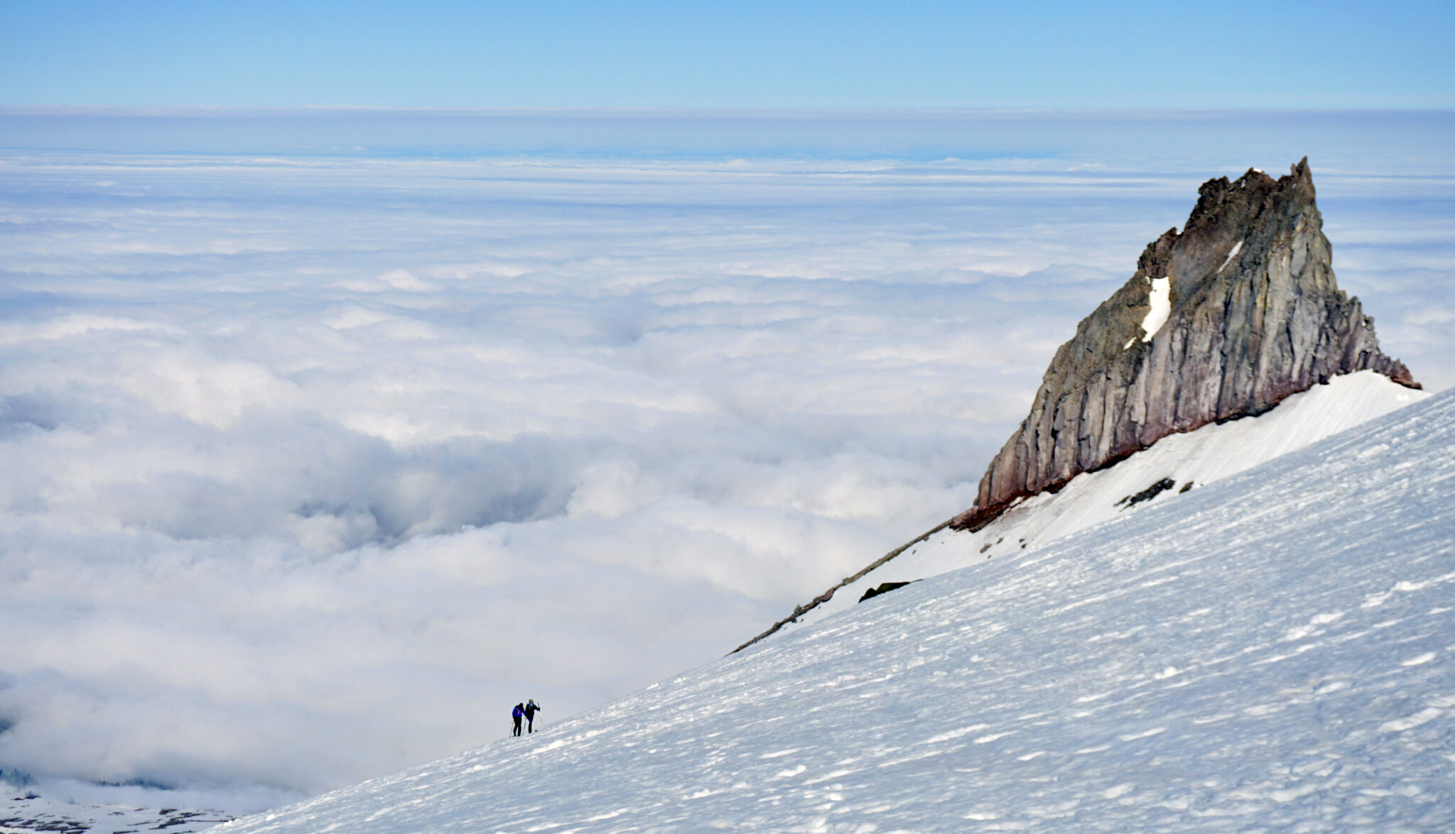
Nearing the top of the Piker’s Peak false summit with much of the morning’s ascent route down below and to the right.
There are many climbing and skiing routes to be explored off Adams, however the Southwest Chutes stand out as the “classic” line that just begs to be skied first and foremost. With a non-technical ascent route and no glaciated terrain to cover, the day entails nothing more than a huge climb (by Colorado standards at least) leading to a huge descent which is best described as a really really long Cristo Couloir. After the comparatively complex ascent and descent on Rainier, we were pretty happy to ditch all the glacier gear and have a mostly straightforward day in front of us.
After a long slog upwards into the night, we pulled up onto the “Lunch Counter”, a flat bench at around 9,300 feet, and took a long break to watch the sunrise. From there the real climb begins as the angle ramps up for a few thousand feet to the top of Piker’s Peak. Once past this false summit of sorts, it’s another hour or so to the true summit of Adams.
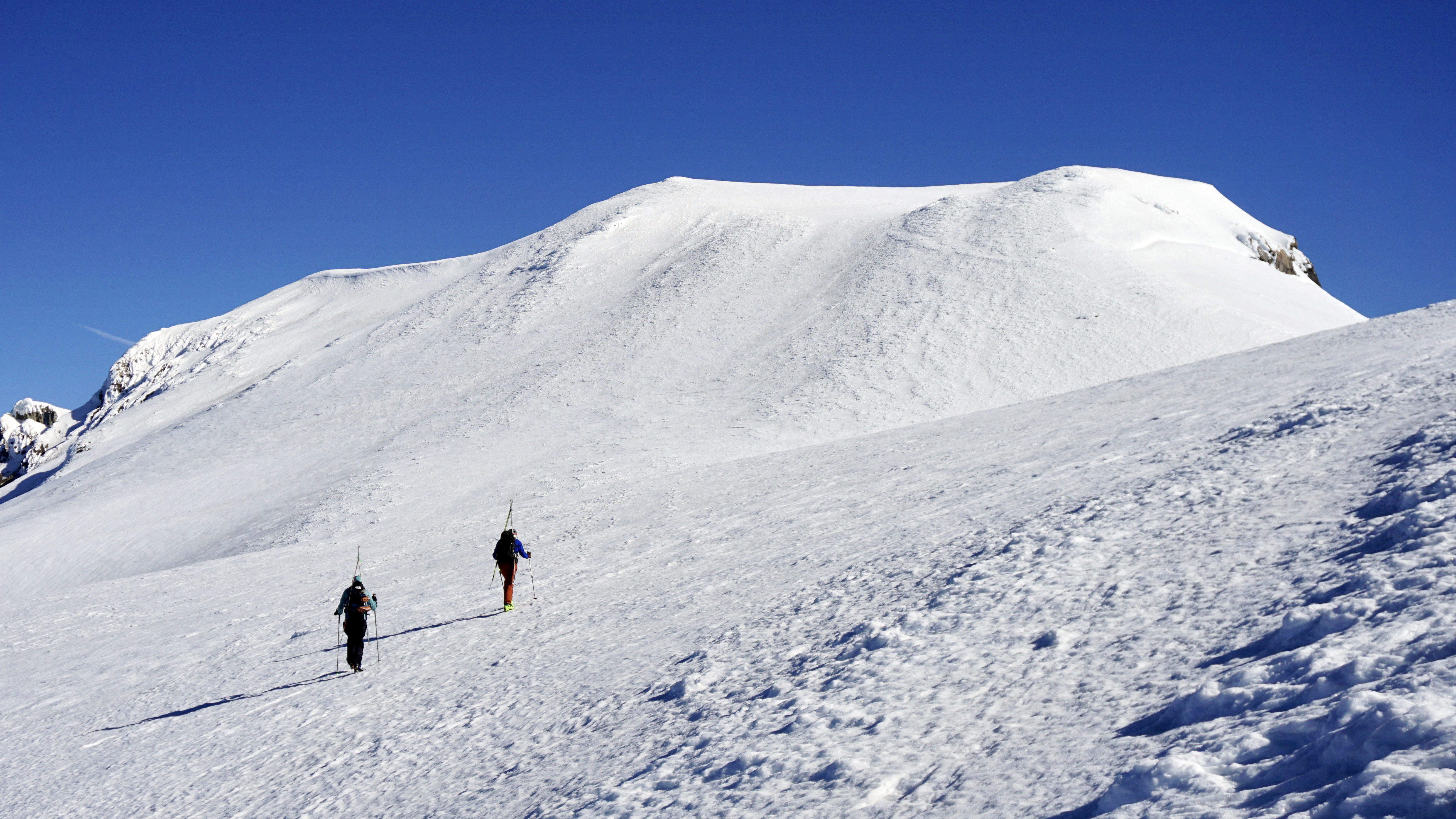
Above Piker’s now, that’s the summit another thousand feet above.
We finished off the ~8,000 foot ascent at 10am (just under 9 hours up) which we were pretty happy with all things considered. Though a much more straightforward and easier climb than Rainier, it’s still a long way to the top of Adams as a daytrip.
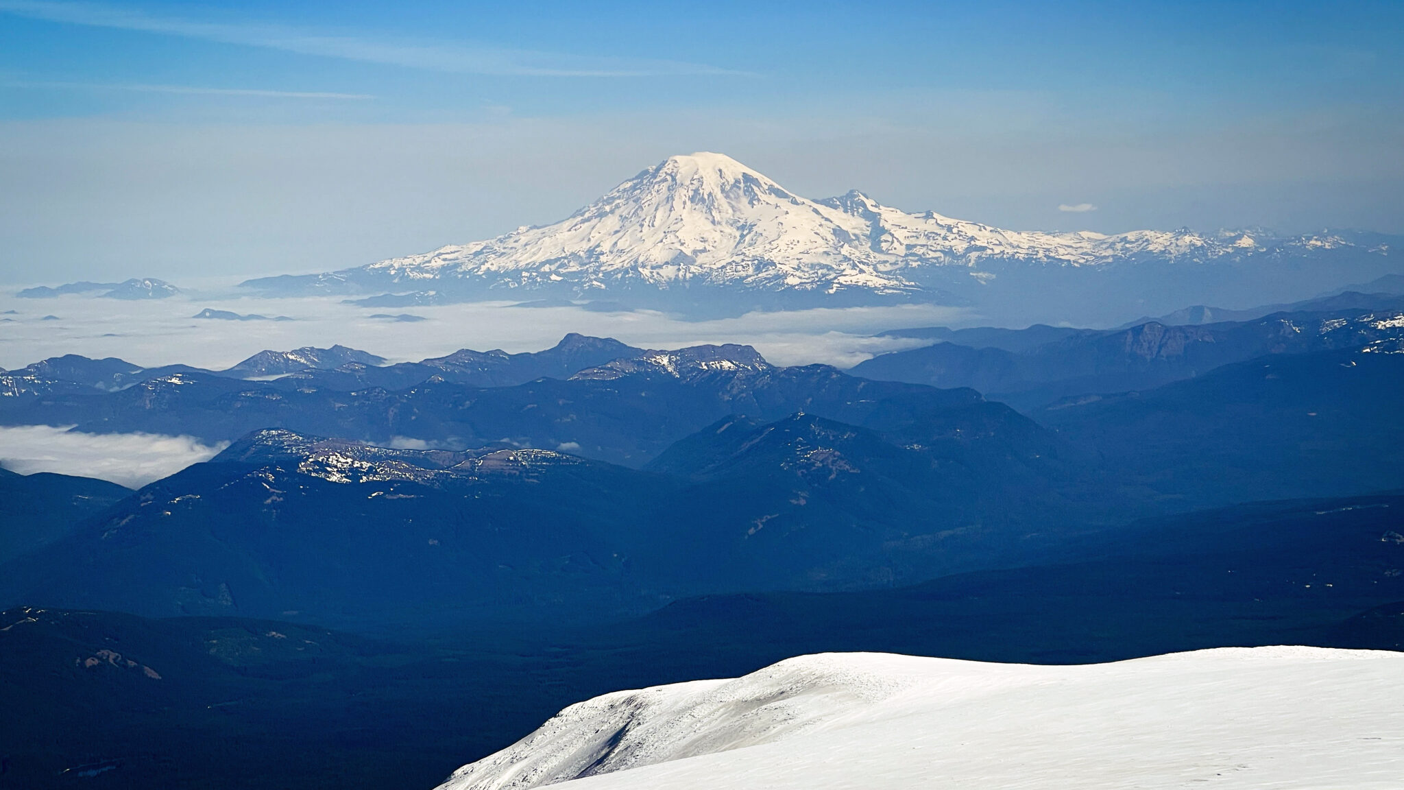
Rainier to the north, which we were on top of only 48 hours prior. A straight-line distance of 47 miles separates the summits of the two peaks.
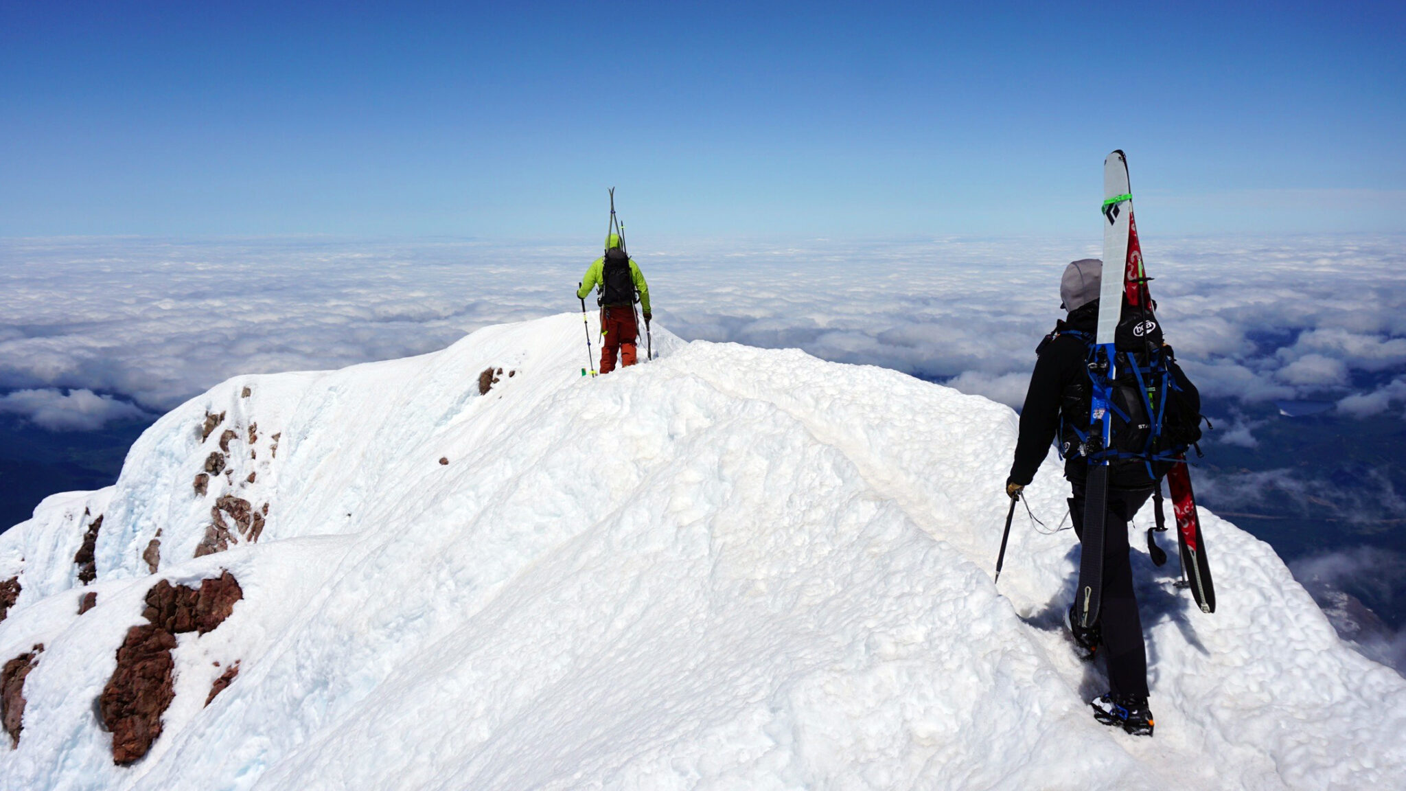
After a long summit stay we knew the lower slopes of the mountain were likely softening up, so it was time to get going. Back on down the summit dome we hung a right and dropped into the Southwest Chutes.
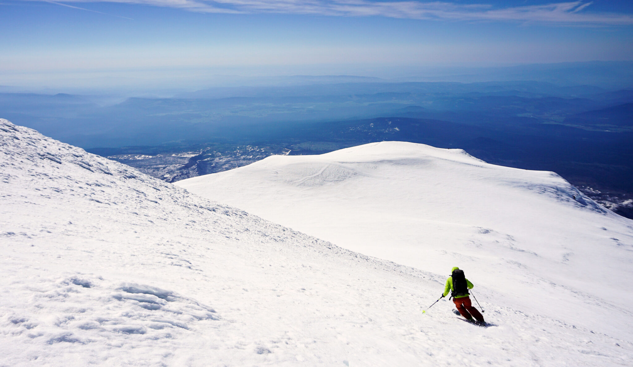
The initial turns off the summit.
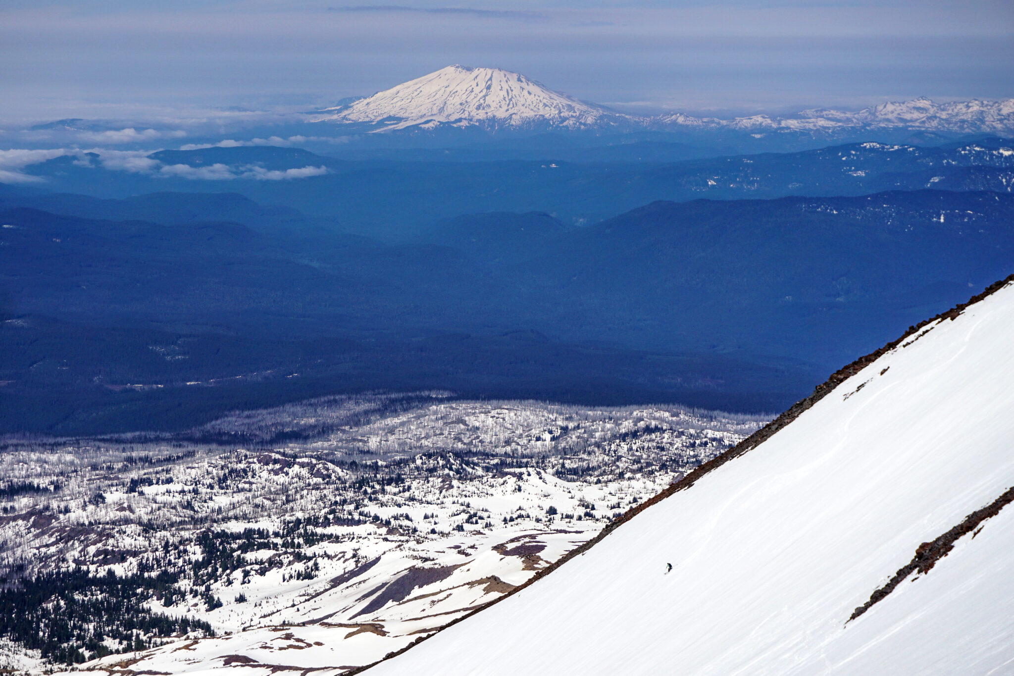
Dylan in the Southwest Chutes with Mt. Saint Helens in back. Click to enlarge.
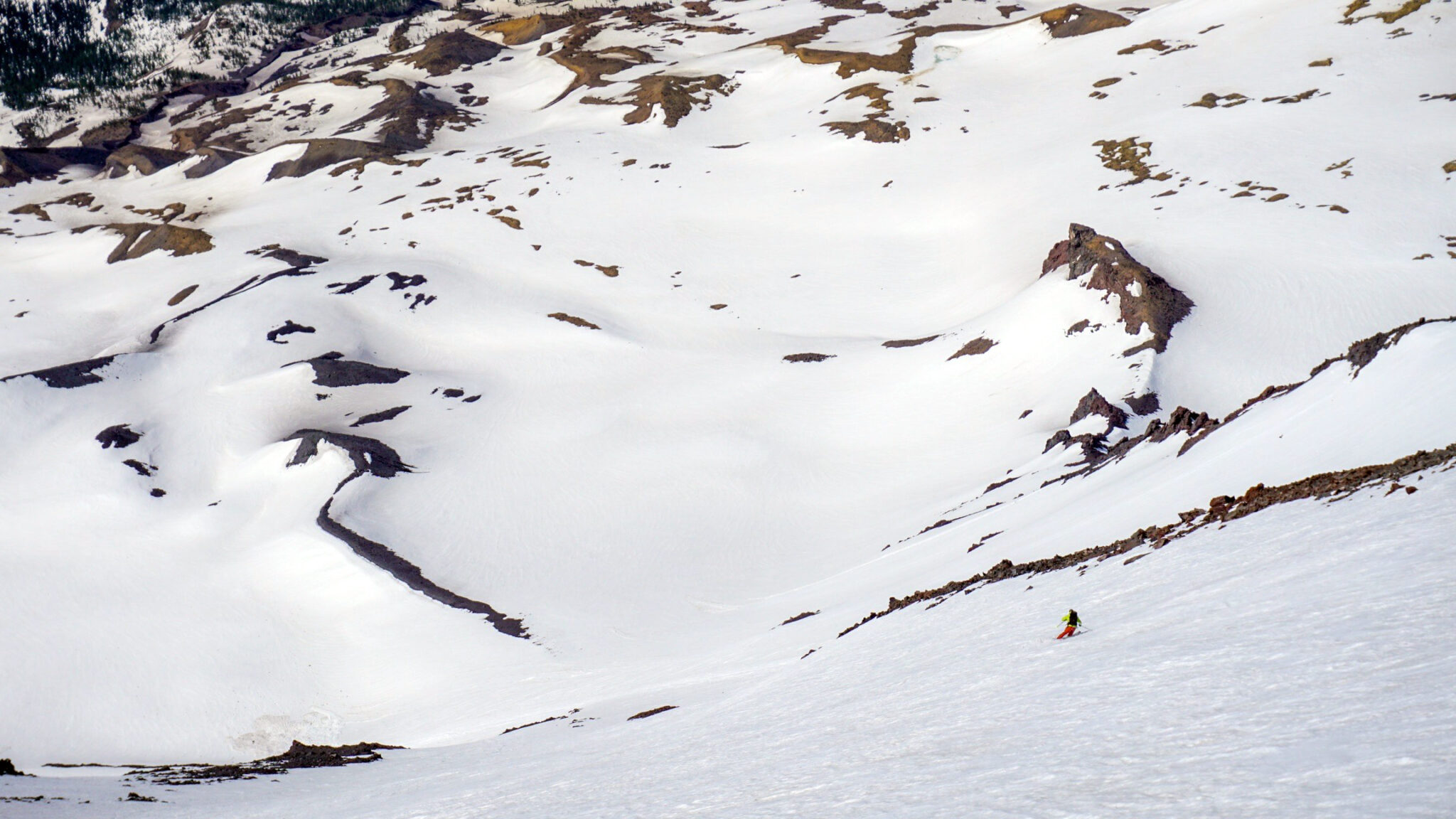
Nolan finishing off the lower part of the chutes. It’s a long descent with a scale that’s unmatched anywhere in Colorado.
After numerous pitches of seemingly endless corn turns, we cut hard skier’s left for the long traverse out. If there’s one part of skiing Adams that’s a tad annoying it’s having to regain the bottom part of the ascent ridge from the base of the Southwest Chutes. After looking at it harder it seems like one could forego this traverse, continue skiing fall line and schwack directly back to the road lower down, but maybe there’s a good reason no one seems to do it that way.
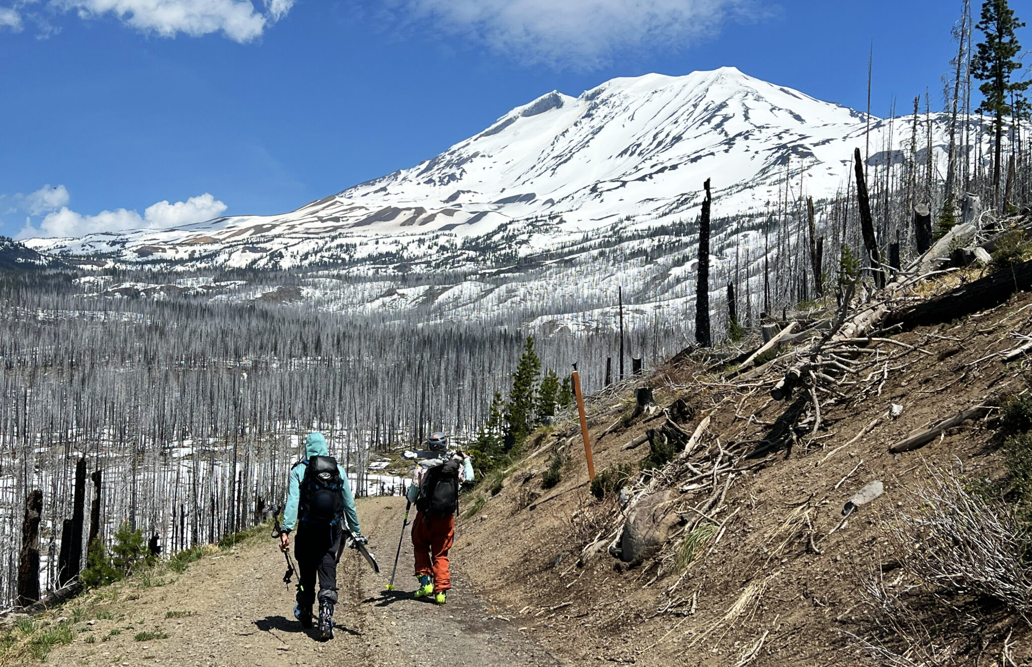
On the walk out with Adams high above.
On the drive out we found a nice place to pull over and soak in Morrison Creek, headwaters of the White Salmon River, to cool off with a few beers before heading back into Hood River for another massive feast and then back to our place for some much needed sleep.
With how well things had gone to that point we figured why not hit the trip out of the park and tack on Mt. Hood the next morning. After all our flight out of Seattle didn’t leave until 8:30pm. One more day and one more peak…
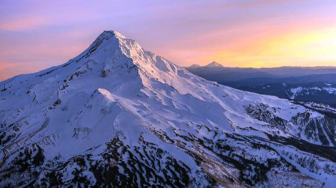
Mt. Hood seen from the southeast with the Palmer Glacier on the left skyline (not my photo).
After waking up late we stopped off for coffees and breakfast sandwiches before driving up to the Timberline Lodge parking lot on Mt. Hood. Intent on giving the Palmer Glacier route a go, the 5,300 foot ascent and ski straight back down to the car sounded like a nice morning stroll in comparison to Adams and Rainier.
High on the Palmer Glacier.
We made quick work of the first few thousand feet from the parking lot and took a break just below the crater to transition to axes and crampons. With sulfuric fume smells wafting down the mountain we headed up and around to the left of the crater to the base of what’s known as the “Old Chute”, a fairly straightforward access point to the summit ridge which becomes the standard route once the Pearly Gates turn to ice.
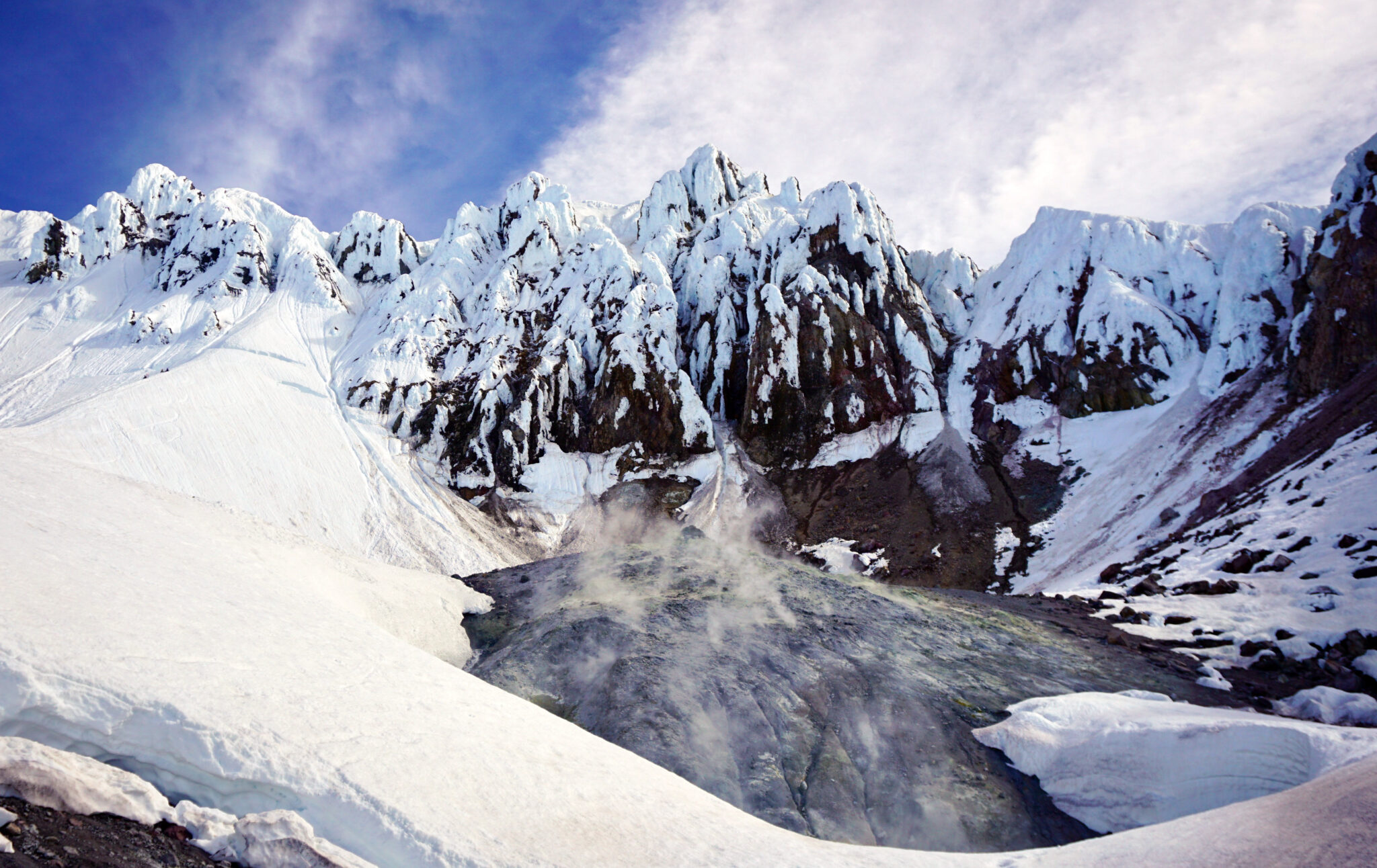
The crater.
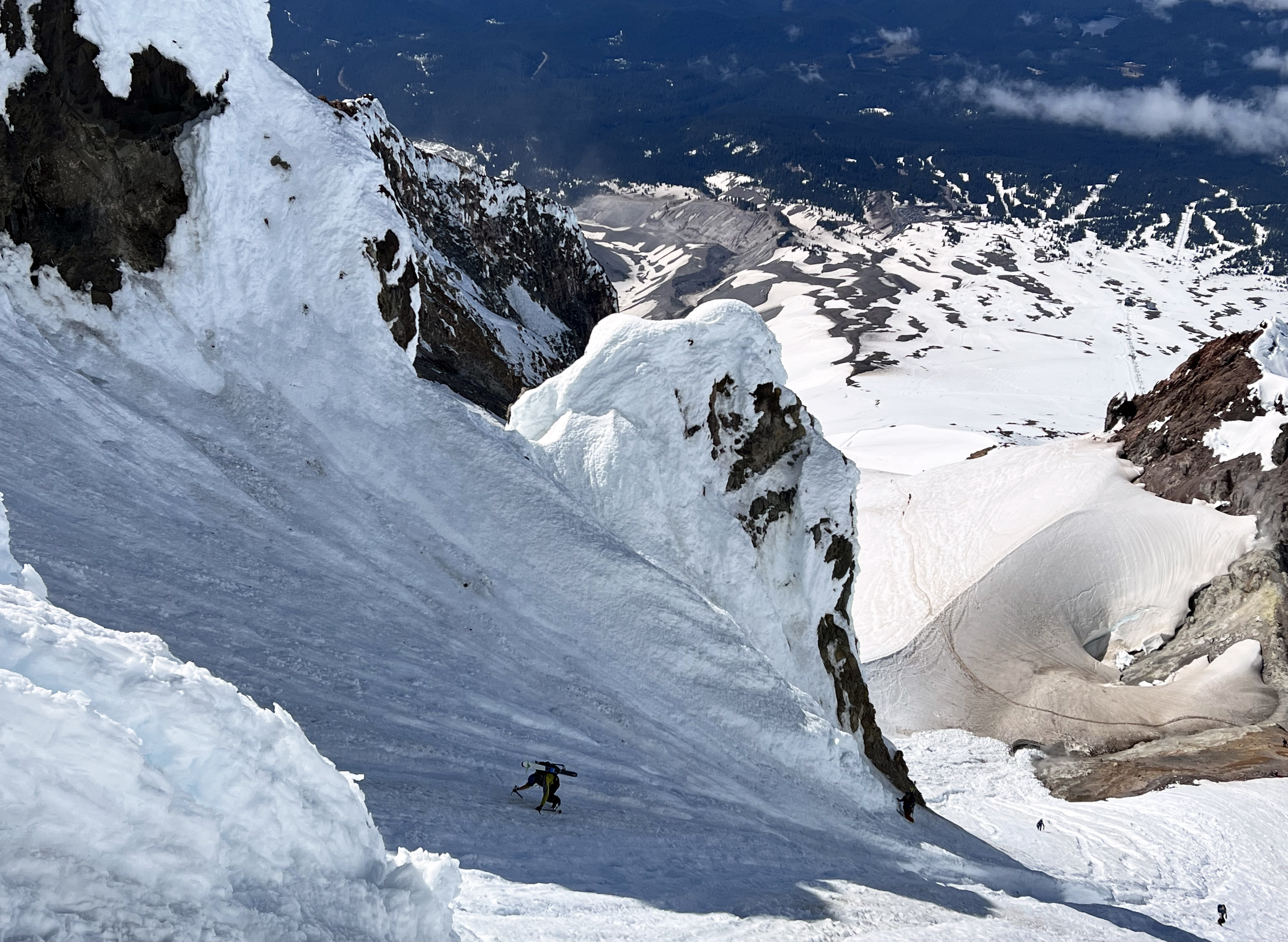
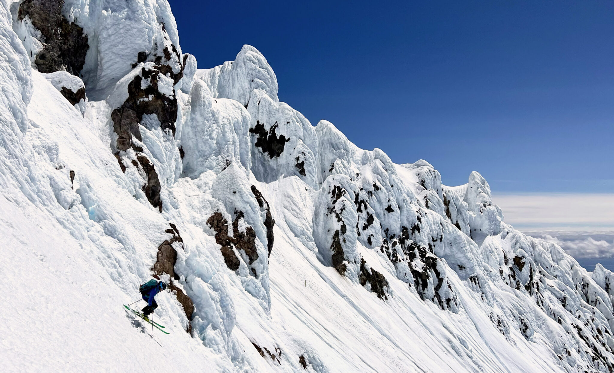
Climbing up Old Chute, which was pretty icy and runneled near the top. The Palmer Glacier ski lift can be seen far below. Click to enlarge.
Once on the summit ridge it was a short, albeit airy walk over to the true summit. We again had T-shirt weather on top with some time to just hang out as the upper-slopes of the mountain needed more time to soften. Eventually a solo climber showed up, we struck up a conversation and it turned out to be a guy named John Loseth who had skied Hood with the Davenport “Ring of Fire” crew back in 2012. John has skied just about every route off Hood that can be skied, and we wound up hanging with him for the rest of the day including the ski down, apres in the parking lot and even a beer at the Timberline Lodge bar. It was great to meet him and also to be able to follow his lead off the top of the peak as we weren’t exactly sure where/how best to drop in off Hood’s summit ridge.
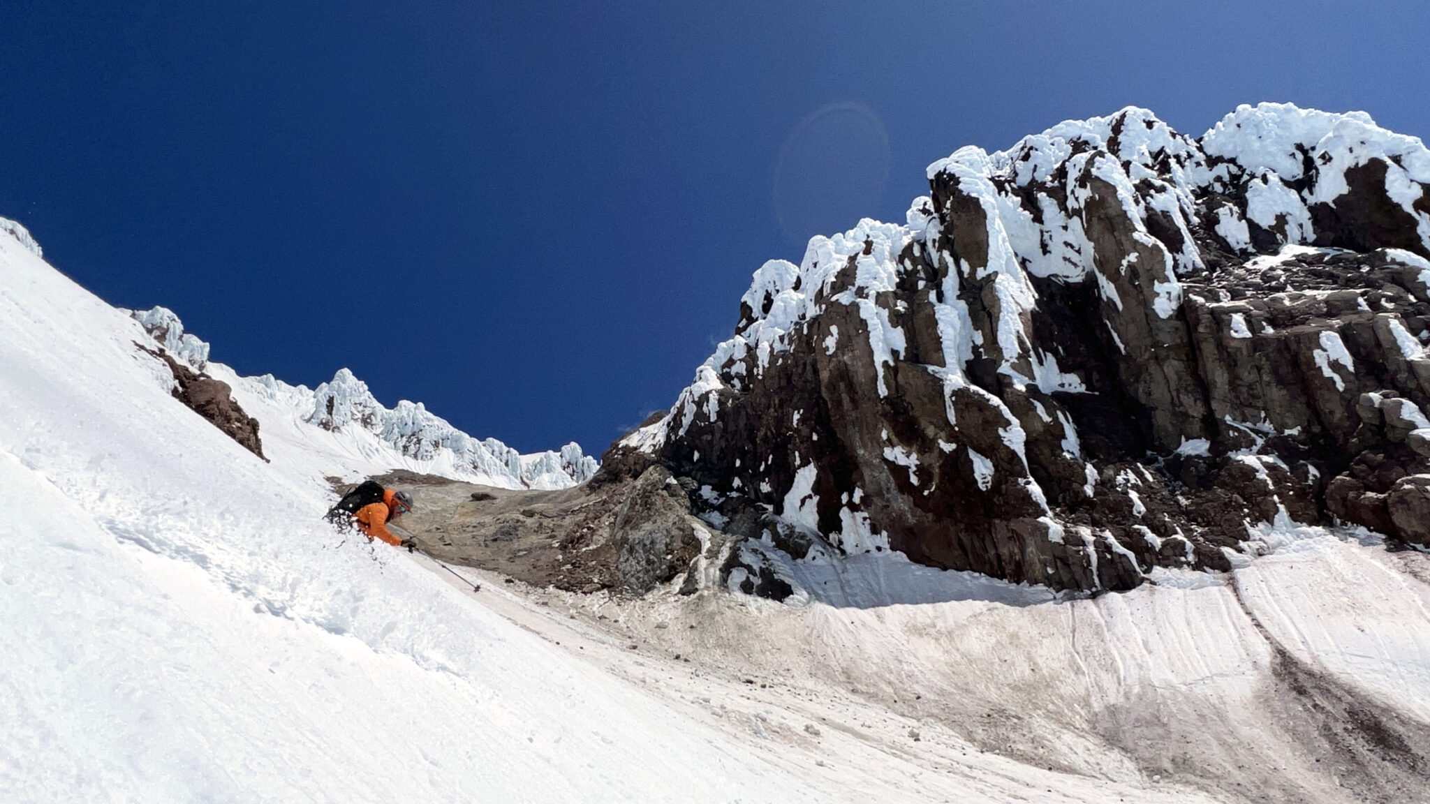
Reversing our route from the summit back down to the top of Old Chute.
John making a jump turn down a steep entrance to the west of Old Chute, which we may never have found without him showing it to us. Thanks John!
Nolan lower down.
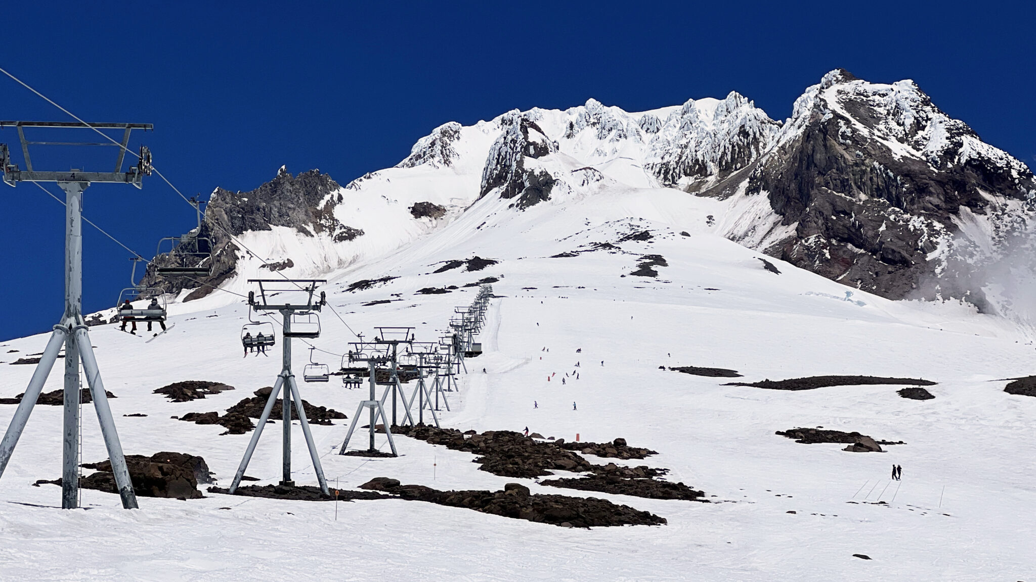
Down into the ski area now.
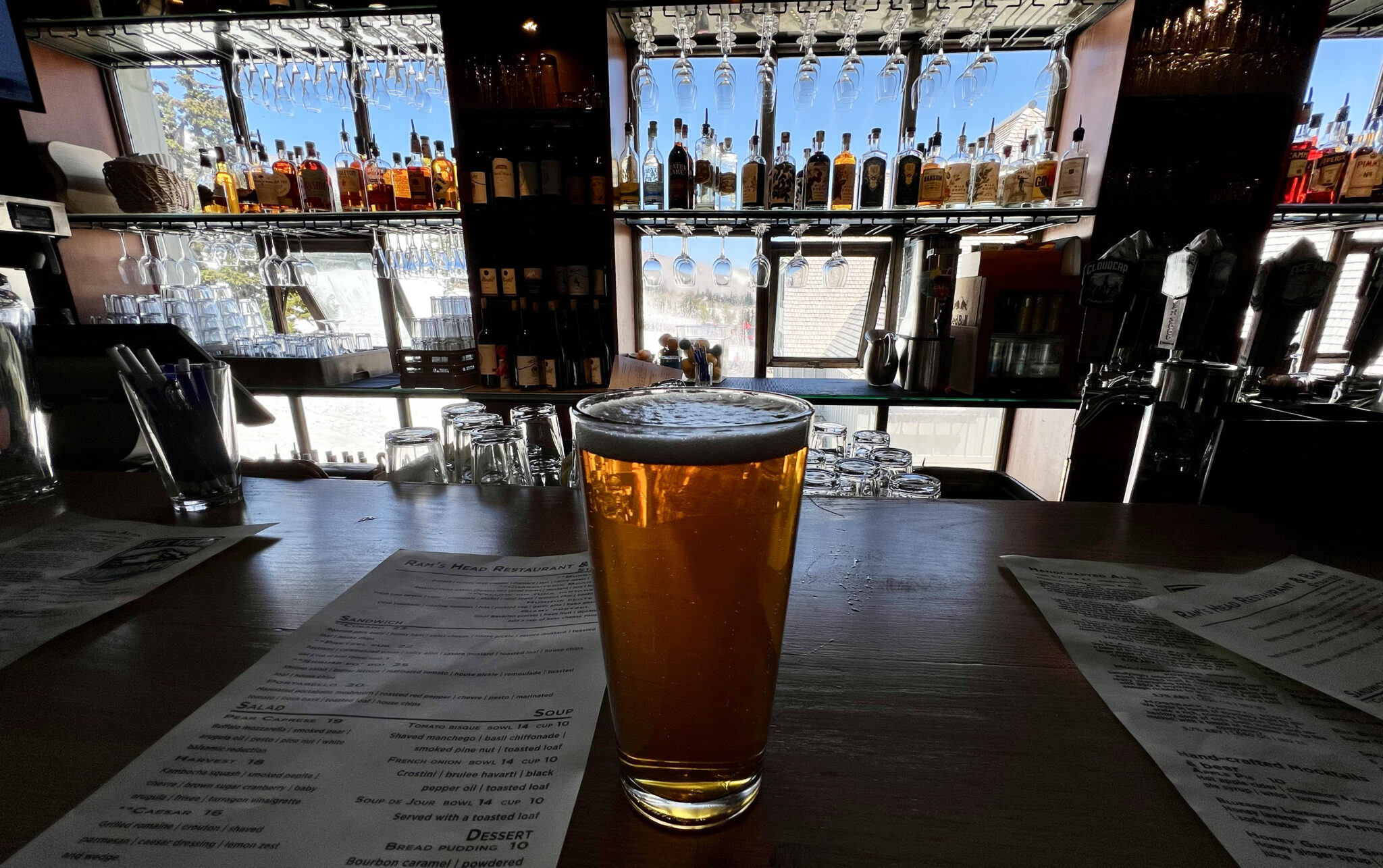
And lastly, a parting shot from the Timberline Lodge bar.
In summation, we climbed and skied roughly 23,000 feet on three volcanoes in two states in less than four days, with corn and bluebird weather to boot on all three. I couldn’t believe we pulled off the itinerary we did with the conditions we got, but that just goes to show what can be done in the PNW with good timing, good weather, a motivated crew and a little bit of luck. It truly is an incredible place to ski. I know we’ll be back.
Dylan, Nolan, thanks again for an awesome couple days up there 🙂
Did that benching summit crater on hood smell like it looks? The pic makes it look like King Kong’s backcountry porta-pot. Still can’t believe you Johnson’s got 3 days of corn and bluebird . I guess we REALLY shit the bed in 2012…..
Yeah we really got the short end of the stick in 2012. This May there were like 3 straight weeks of bluebird up there.